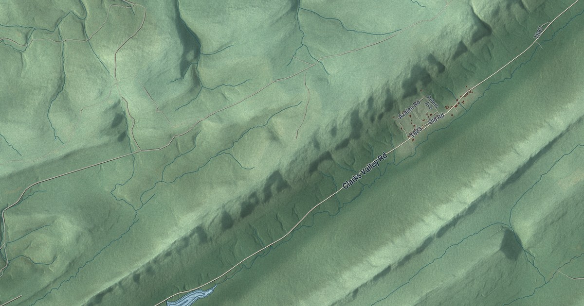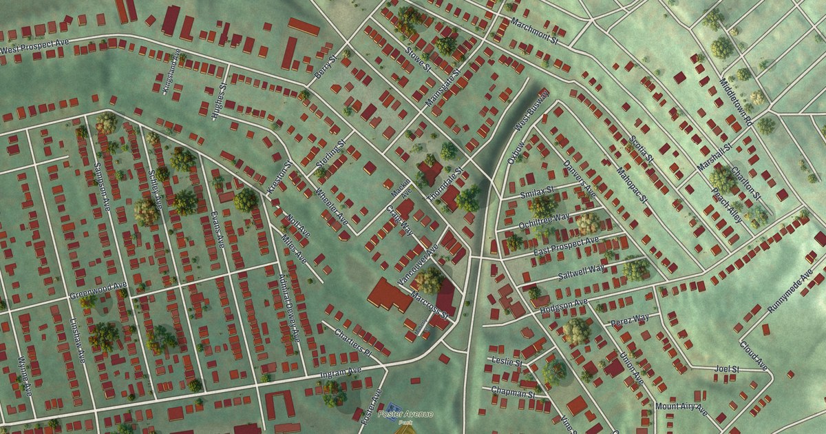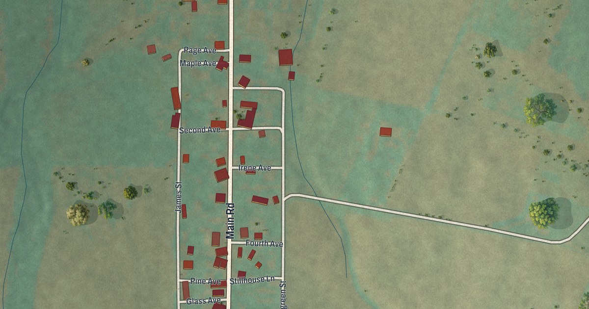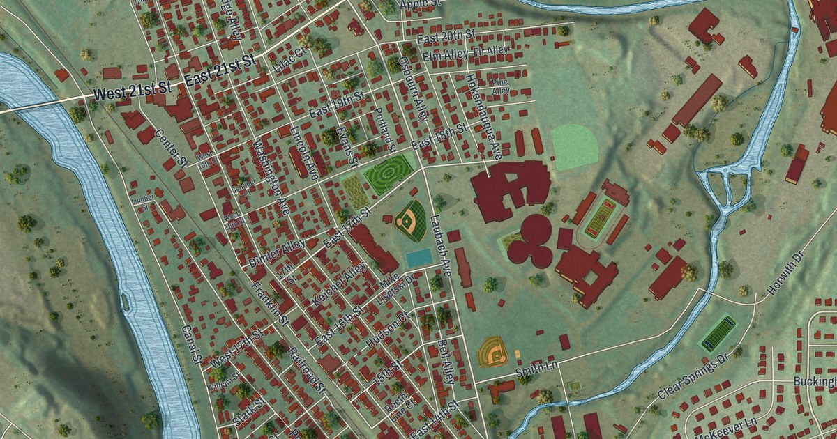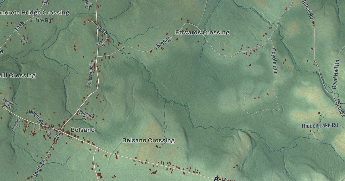
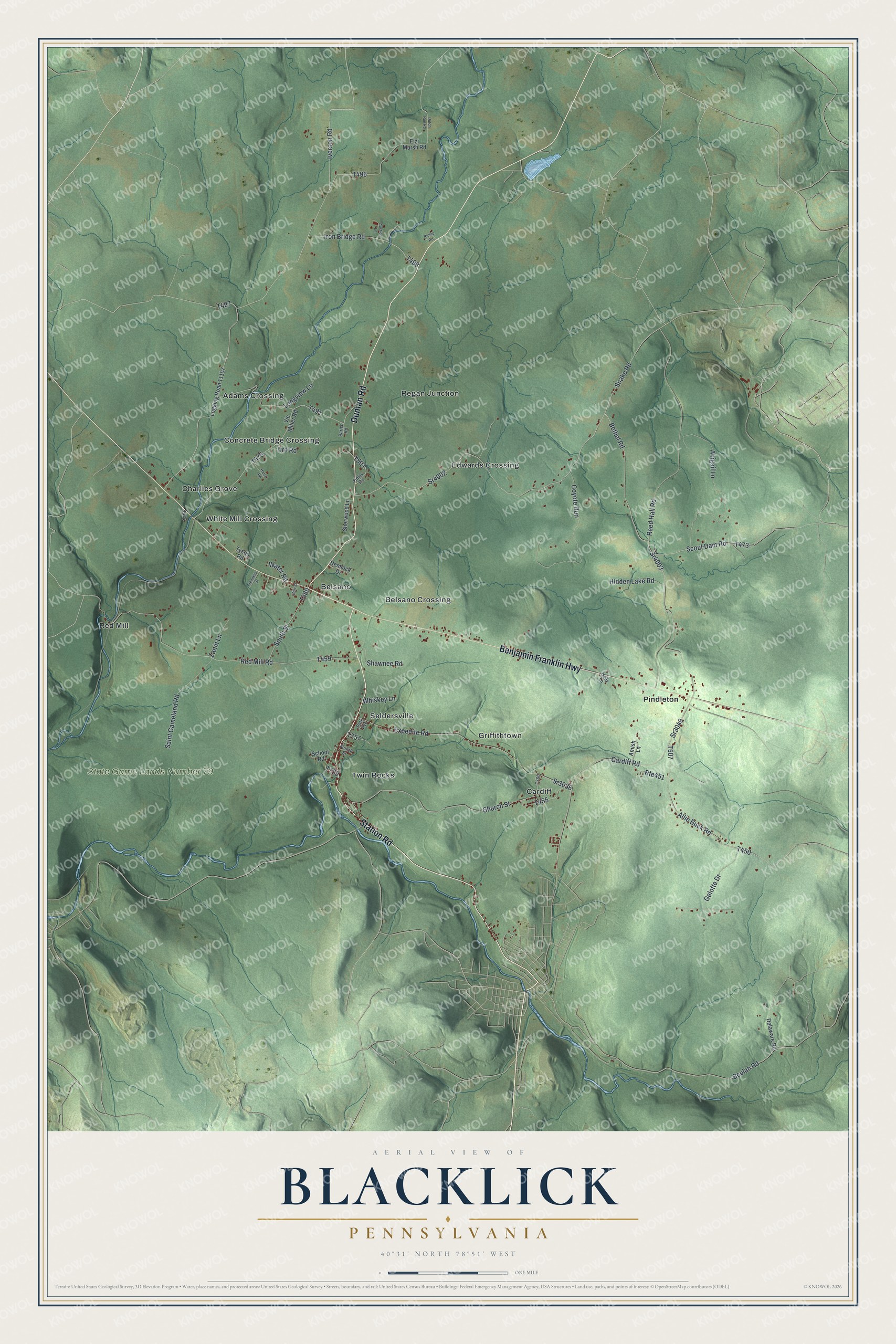
This beautifully detailed map of Blacklick, Pennsylvania was created in 2026 using aerial imagery combined with modern topographical, census, street and landmark data. It's a modern aerial view of Blacklick in Cambria County, Pennsylvania, that combines modern data with a vintage aesthetic. The roads feature printed names, and if you look closely you can find your exact house accurately shown in its correct location.
Explore an aerial view of Blacklick, Pennsylvania
On this map you'll find State Game Lands Number 79, Adams Crossing, Belsano, Belsano Crossing, Cardiff, Charlies Grove, Concrete Bridge Crossing, Edwards Crossing, Griffithtown, Pindleton, Red Mill, Regan Junction, and more. Each red shape is a building, so zoom in on the preview and look for yours.
Blacklick has a story worth telling. The Cambria County RootsWeb puts it this way: "The Township takes its name from Blacklick Creek. The name Blacklick probably had its origin in the fact that salt licks were found where there were outcroppings of coal."
Blacklick is a place in Cambria County. The Census Bureau counted 1,876 people here in 2020.
Take a closer look at the Blacklick map
Names on this map
These names are printed on this map.
Places: State Game Lands Number 79, Adams Crossing, Belsano, Belsano Crossing, Cardiff, Charlies Grove, Concrete Bridge Crossing, Edwards Crossing, Griffithtown, Pindleton, Red Mill, Regan Junction, Seldersville, Twin Rocks and White Mill Crossing.
Streets and roads: Benjamin Franklin Highway, Station Road, Duman Road, Sr4003, Bethel Road, Iverson Road, Snake Road, Sr4002, Reed Hall Road, Red Mill Road, Sr3049, Cardiff Road.
More street names, A to Z
Abigail Lane, Allie Buck Road, Amish Lane, Auction Lane, Beulah Road, Burr Street, Church Street, Coyote Run, Delaware Road, Dutch Run Road, Elzi Marsh Road, Expedite Road, Finley Road, Fourth Street, Freanklin Street, Gelotte Drive, Harry Road, Hemlock Drive, Hidden Lake Road, Holly Lane, Iron Bridge Road, Logging Road 11107, Longview Lane, Parish Road, Park Avenue, Richie Road, Rte451, Saint Gameland Road, School Road, Scout Dam Road, Shawnee Road, Sherwood Lane, South Street, Sr3036, Tire Road, Tyson Road, Vic Miller Road, Water Road, Whiskey Lane, Zanin Lane.
See it on a wall
The Blacklick map as a framed print. Swipe for more.


Created by KNOWOL in 2026. The buildings are small red shapes, the roads carry their printed names, and shaded relief shows the shape of the land. The title panel reads "AERIAL VIEW OF BLACKLICK, PENNSYLVANIA" with 40°31' NORTH 78°51' WEST.
It looks right in a kitchen, an office or a den, and it's a gift for anyone who grew up in Blacklick or moved away. Open the preview and find your street. See sizes and frames for the Blacklick map.