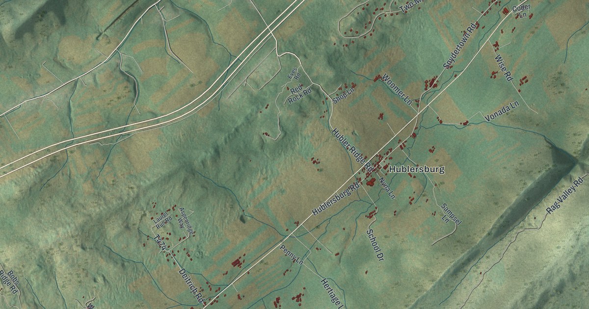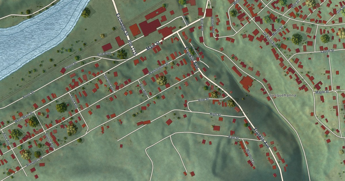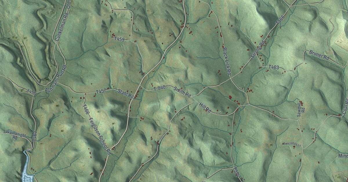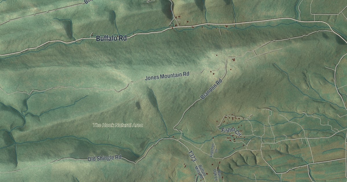
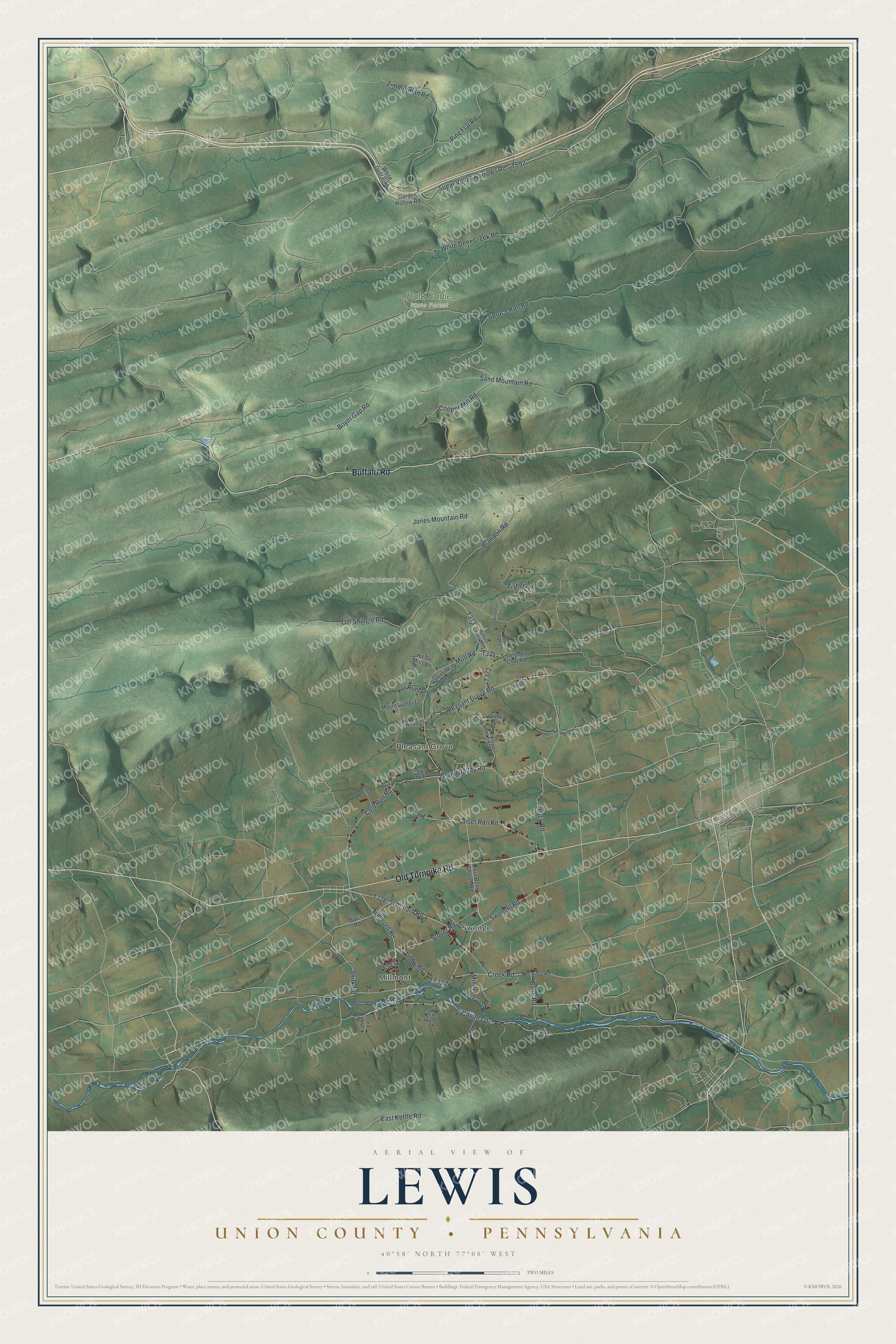
This beautifully detailed map of Lewis, Union County, Pennsylvania was created in 2026 using aerial imagery combined with modern topographical, census, street and landmark data. It's a modern aerial view of Lewis, Union County in Union County, Pennsylvania, that combines modern data with a vintage aesthetic. The roads feature printed names, and if you look closely you can find your exact house accurately shown in its correct location.
Explore an aerial view of Lewis, Union County, Pennsylvania
On this map you'll find Millmont, Swengel, Pleasant Grove, Bald Eagle State Forest, The Hook Natural Area, Buffalo Road, Old Turnpike Road, Canada Drive, Orchard Road, Millmont Road, Creek Road, T309, and more. Each red shape is a building, so zoom in on the preview and look for yours.
Here is a piece of Lewis, Union County history, in the words of the record. The Susquehanna and Juniata Valleys History puts it this way: "This name was given to it in honor of Judge Ellis Lewis, who presided over the courts of Union County with great ability from 1833 to 1842."
Lewis, Union County is a place in Union County. The Census Bureau counted 1,476 people here in 2020.
Take a closer look at the Lewis, Union County map
Names on this map
These names are printed on this map.
Places: Millmont, Swengel, Pleasant Grove, Bald Eagle State Forest and The Hook Natural Area.
Streets and roads: Buffalo Road, Old Turnpike Road, Canada Drive, Orchard Road, Millmont Road, Creek Road, Swengel Road, Cold Run Road, Sugar Valley Narrows Road, Cooper Mill Road, Pleasant Grove Road, Old Shingle Road.
More street names, A to Z
Beebe Lane, Boop Road, Bowen Lane, Boyer Gap Road, Brandon Road, Buffulo Mills Road, Burr Oak Lane, Davis Road, East Kettle Road, Englehart Lane, Fisher Circle, Four Bells Church Road, Garden Hollow Road, Grand Valley Road, Hillbilly Lane, Hit Or Miss Lane, Jones Mountain Road, Kahler Lane, Kaiser Run Road, Libby Road, Miller Lane, Moll Road, Mount Luther Lane, Pine Flat Road, Red Ridge Road, Rudy Lane, Ruhl Lane, Sand Mountain Road, Sawmill Lane, Shirk Road, Shuck Road, Sierra Lane, Sportsmens Club Road, Spruce Run Road, Stover Road, Valentine Lane, Weller Lane, White Deer Creek Road, White Deer Pike, Wirth Road, Zimmerman Road.
See it on a wall
The Lewis, Union County map as a framed print. Swipe for more.


Created by KNOWOL in 2026. The buildings are small red shapes, the roads carry their printed names, and shaded relief shows the shape of the land. The title panel reads "AERIAL VIEW OF LEWIS, UNION COUNTY • PENNSYLVANIA" with 40°58' NORTH 77°08' WEST.
It suits a den, a classroom or a front hall, and it makes a gift for anyone with Lewis, Union County roots. Open the preview and find the block you know. See sizes and frames for the Lewis, Union County map.