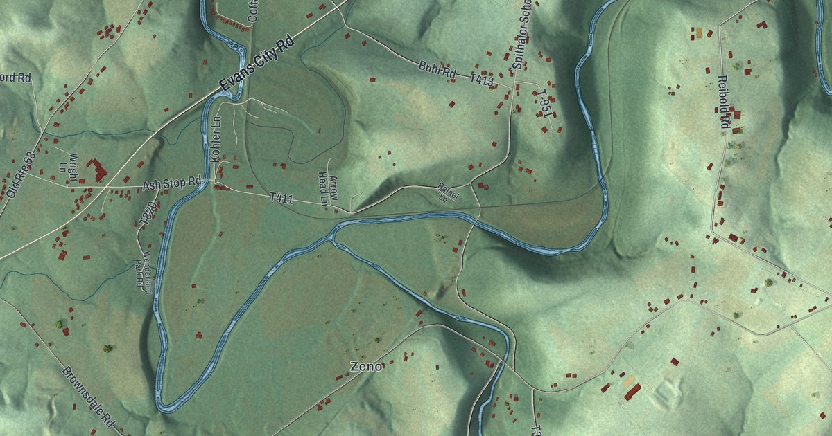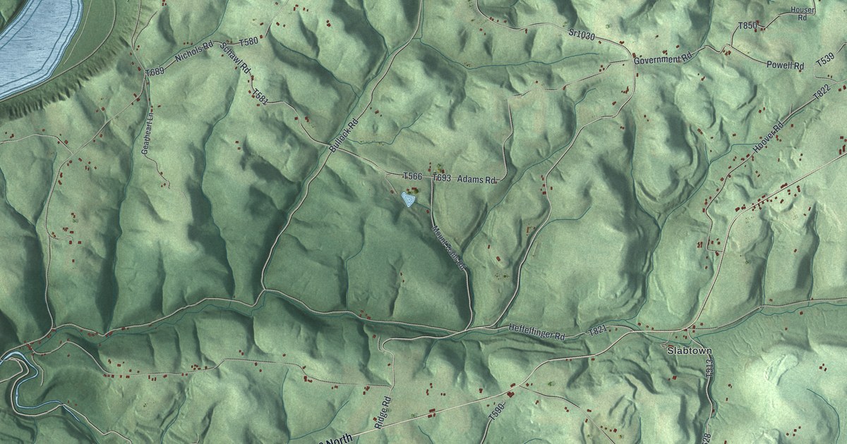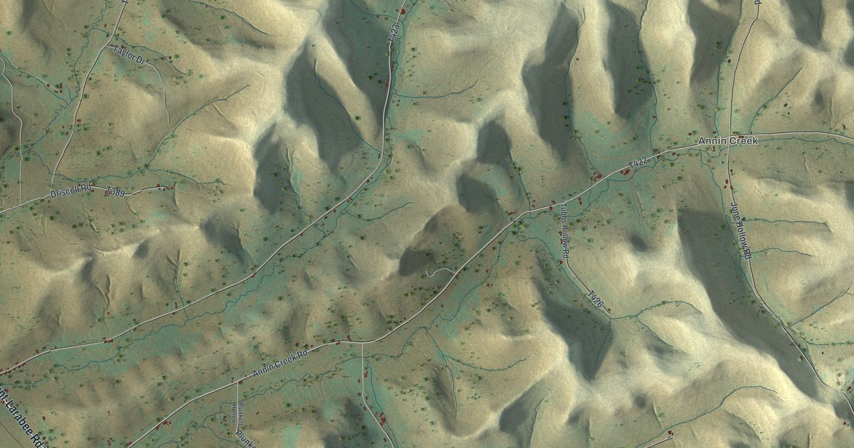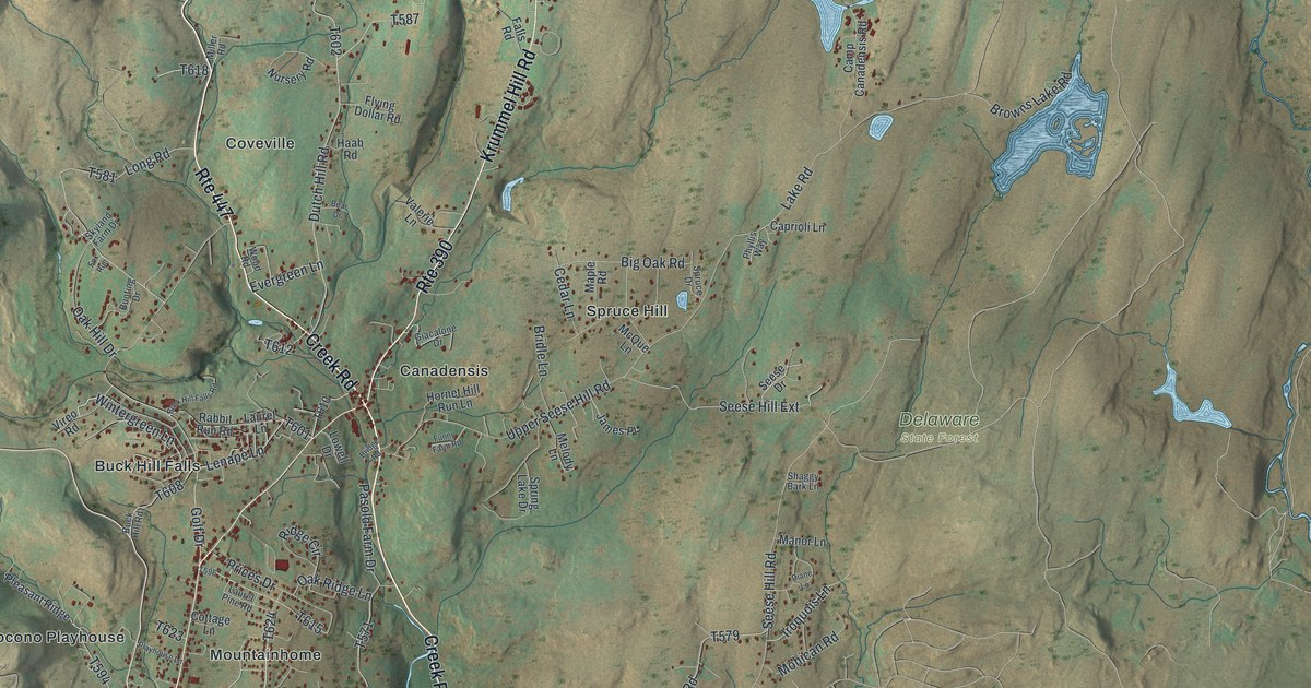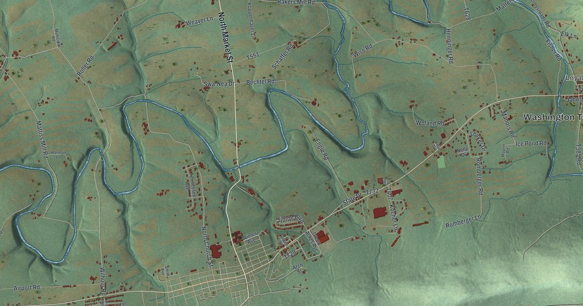
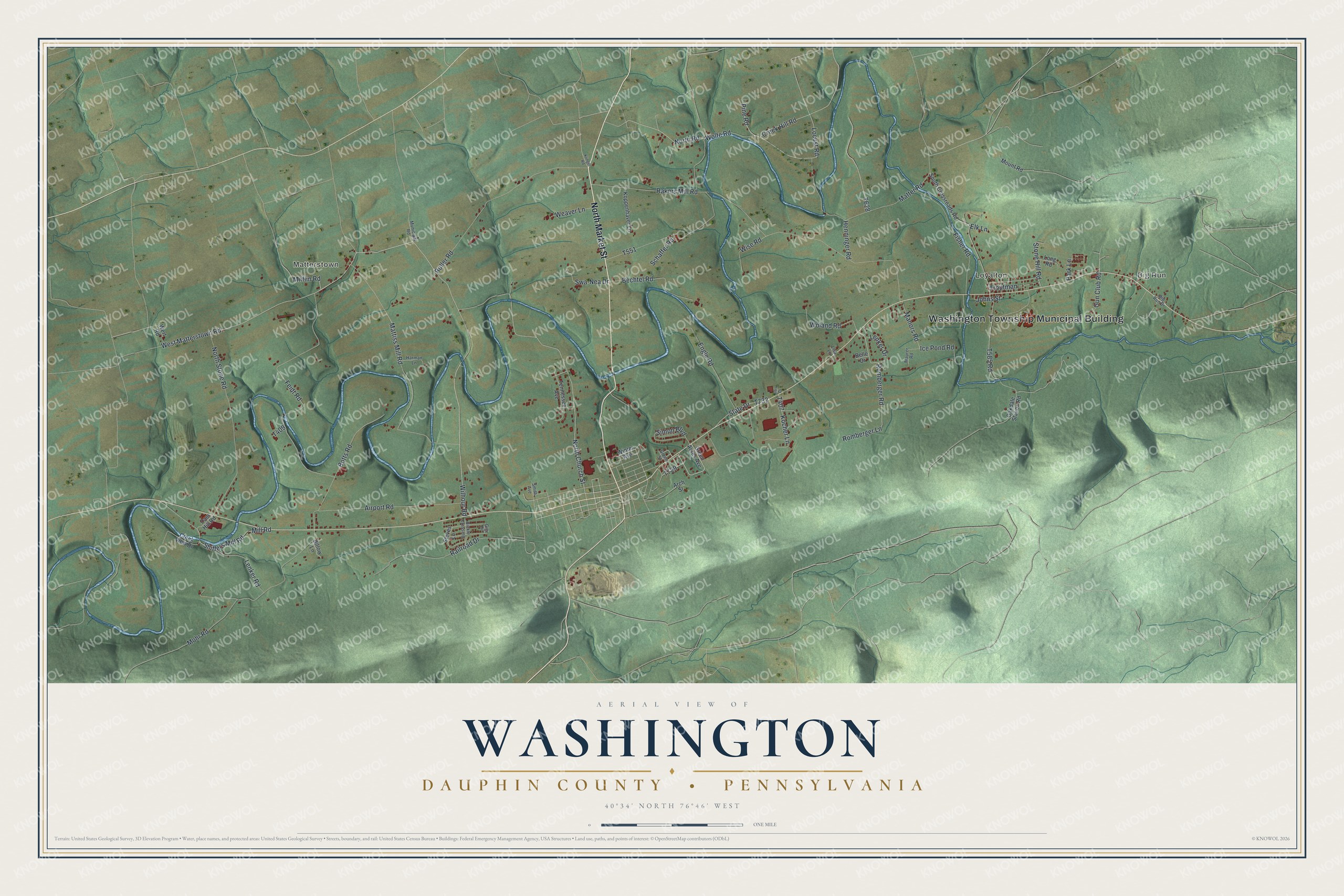
This beautifully detailed map of Washington, Dauphin County, Pennsylvania was created in 2026 using aerial imagery combined with modern topographical, census, street and landmark data. It's a modern aerial view of Washington, Dauphin County in Dauphin County, Pennsylvania, that combines modern data with a vintage aesthetic. The roads feature printed names, and if you look closely you can find your exact house accurately shown in its correct location.
Explore an aerial view of Washington, Dauphin County, Pennsylvania
On this map you'll find Washington Township Municipal Building, Big Run, Matterstown, Loyalton, North Market Street, North Road, Henninger Road, Wilhour Road, Pine Road, North Church Street, T407, Mill Road, and more. Each red shape is a building, so zoom in on the preview and look for yours.
Washington, Dauphin County has a story worth telling. The Lykens Valley History and Genealogy puts it this way: "Elizabethville Borough was created as a separate government entity within the territory of Washington Township on 28 March 1893. Several villages exist today within Washington Township but were never incorporated to be separate from the township."
Washington, Dauphin County is a place in Dauphin County. The Census Bureau counted 2,129 people here in 2020.
Take a closer look at the Washington, Dauphin County map
Names on this map
These names are printed on this map.
Places: Washington Township Municipal Building, Big Run, Matterstown and Loyalton.
Streets and roads: North Market Street, North Road, Henninger Road, Wilhour Road, Pine Road, North Church Street, Mill Road, Botts Road, Swa-Nea Drive, Rakers Mill Road, Feidt Road, West Matterstown Road.
More street names, A to Z
Airport Road, Arch Street, Bechtel Road, Belle Drive, Bickle Crossing, Big Run Drive, Billow Lane, Creek Hill Road, Creek View Drive, Dam Hill Road, Elk Lane, Engle Road, Fisher Road, Gigi Drive, Green Acres Avenue, Green Street, Gun Club Road, Harman Lane, Ice Pond Road, Johns Street, Klinger Road, Kocher Lane, Koppenhaver Lane, Lenker Drive, Lenker Road, Lisa Lane, Locust Road, Lois Drive, Long Road, Manors Road, Matter Road, Mattiss Mill Road, Maurer Road, Mifflin Road, Mohr Road, Mount Road, Municipal Road, North Stone Road, Oakdale Station Road, Park Lane, Railroad Drive, Roller Road, Romberger Lane, Romberger Road, Schaffer Road, Shiffers Mill Road, Simon Boulevard, Smith Avenue, South Crossroads Road, State Drive, Steves Lane, Stone Hill Road, Tennessee Avenue, Troutman, Weaver Lane, Wert Road, Winter Avenue, Wise Road, Woland Road, Wolfe Road.
See it on a wall
The Washington, Dauphin County map as a framed print. Swipe for more.


Created by KNOWOL in 2026. The buildings are small red shapes, the roads carry their printed names, and shaded relief shows the shape of the land. The title panel reads "AERIAL VIEW OF WASHINGTON, DAUPHIN COUNTY • PENNSYLVANIA" with 40°34' NORTH 76°46' WEST.
It looks right in a kitchen, an office or a den, and it's a gift for anyone who grew up in Washington, Dauphin County or moved away. Open the preview and find your street. See sizes and frames for the Washington, Dauphin County map.