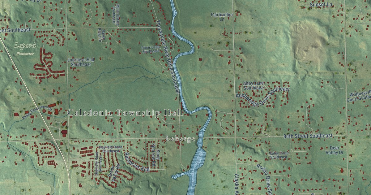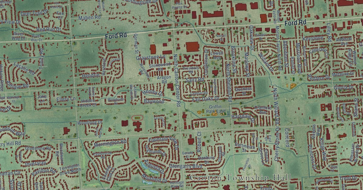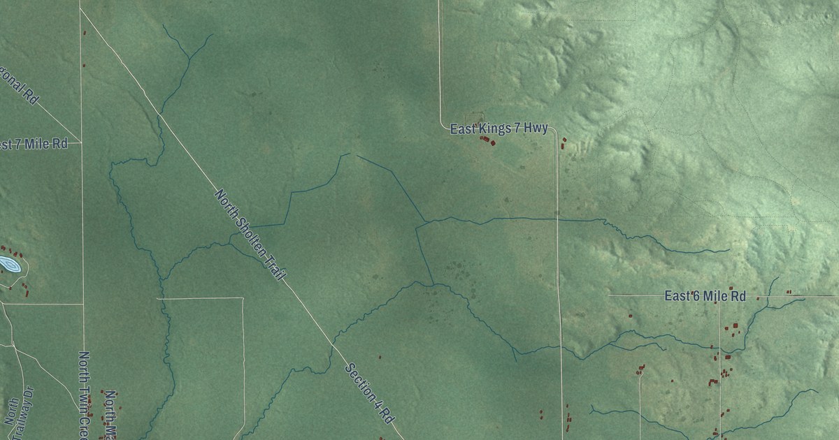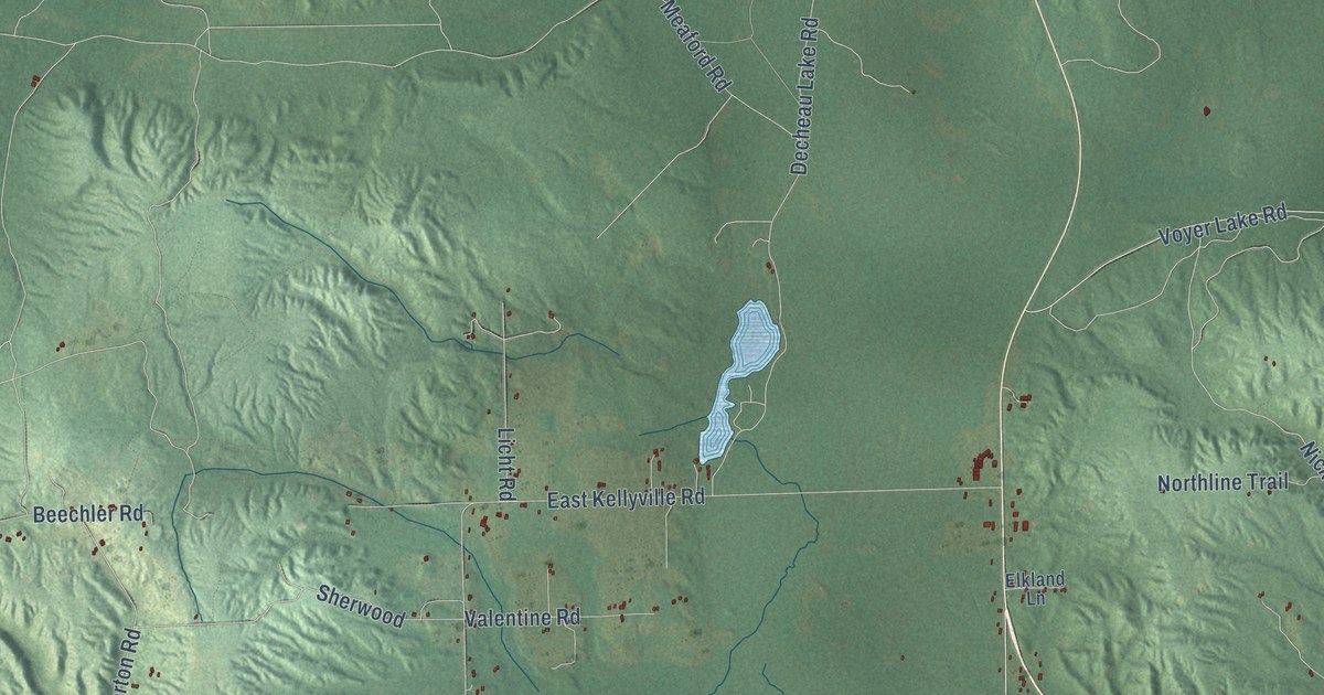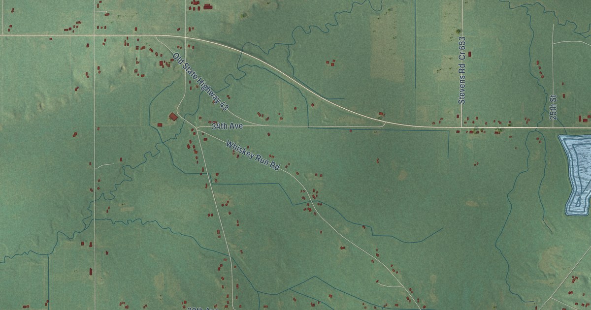
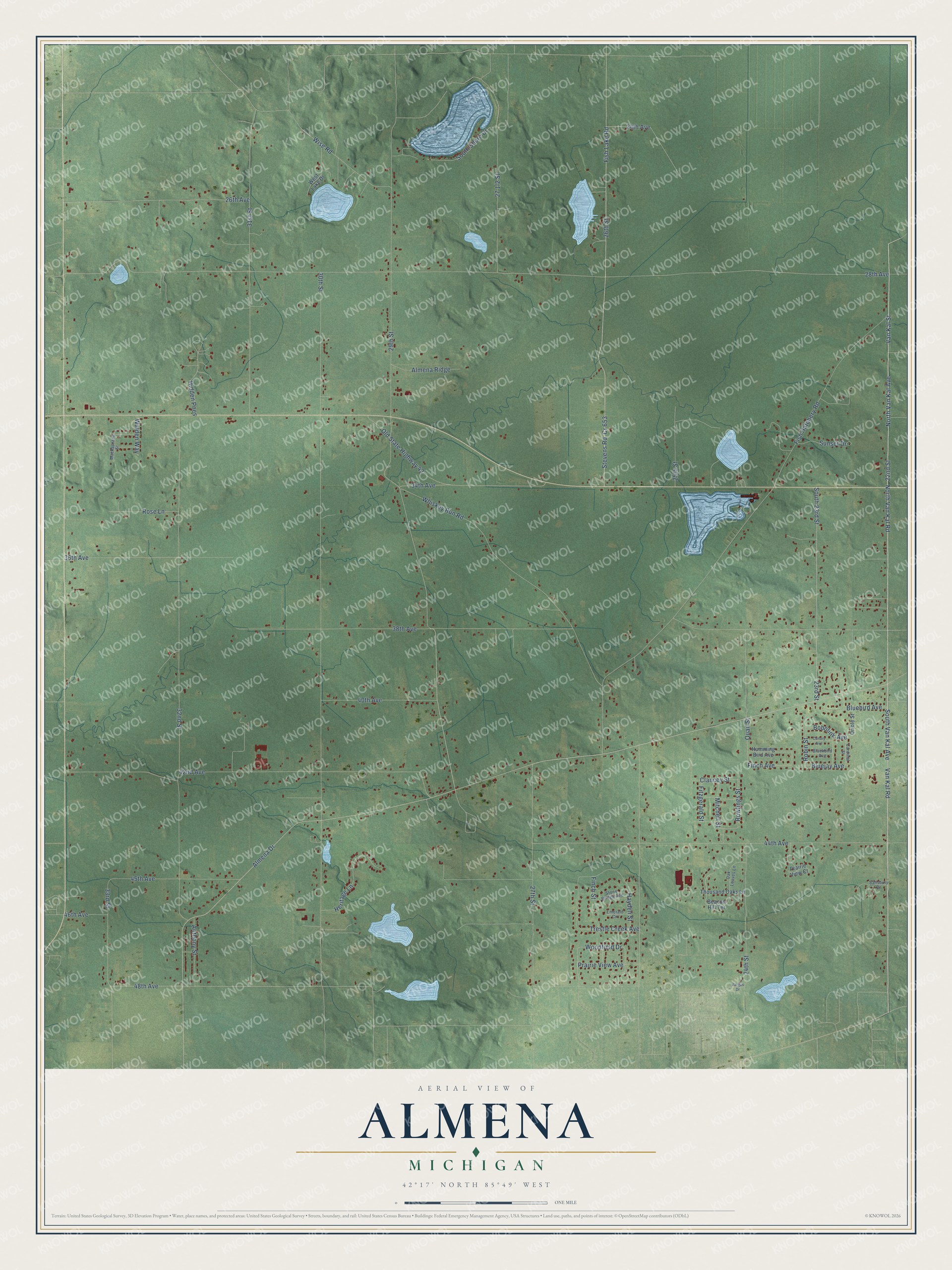
This beautifully detailed map of Almena, Michigan was created in 2026 using aerial imagery combined with modern topographical, census, street and landmark data. It's a modern aerial view of Almena in Van Buren County, Michigan, that combines modern data with a vintage aesthetic. The roads feature printed names, and if you look closely you can find your exact house accurately shown in its correct location.
Explore an aerial view of Almena, Michigan
On this map you'll find 22nd Street, Van Kal Street, South Van Kal Avenue, North Van Kal Avenue, North Van Kal Road, Van Kal Road, Stevens Road, Fish Lake Road, 24th Avenue, Almena Drive, Woodfield Drive, Finch Avenue, and more. Each red shape is a building, so zoom in on the preview and look for yours.
Every town has a first chapter, and Almena is no exception. The History of Berrien and Van Buren Counties puts it this way: "The first grist-mill erected in Almena was put up in 1859 by S. W. Fisk."
The Census Bureau counted 5,308 people here in 2020.
Take a closer look at the Almena map
Names on this map
These names are printed on this map.
Streets and roads: 22nd Street, Van Kal Street, South Van Kal Avenue, North Van Kal Avenue, North Van Kal Road, Van Kal Road, Stevens Road, Fish Lake Road, 24th Avenue, Almena Drive, Woodfield Drive, Finch Avenue.
More street names, A to Z
23rd Street, 24th Street, 25th Street, 26th Avenue, 26th Street, 27th Street, 28th Avenue, 29th Street, 30th Street, 31st Street, 32nd Street, 33rd Street, 34th Avenue, 36th Avenue, 38th Avenue, 40th Avenue, 42nd Avenue, 44th Avenue, 45th Avenue, 46th Avenue, 48th Avenue, Almena Ridge, Anthony Street, Beacon Hill Terrace, Blackbird Avenue, Bluebird Avenue, Bluejay Avenue, Bobolink Avenue, Canary Avenue, Cardinal Street, Clancey Street, Cr 653, Emerald Circle, Finch Street, Fish Hatchery Road, Fitzgerald Street, Hayden Street, Heritage Lane, Hidden Pnes, Humming Bird Avenue, Mackaprang Street, Mitchell Street, Oak Leaves Lane, Old State Highway 43, Oriole Street, Prairie View Avenue, Prairie View Court, Quail Street, Robin Street, Rose Lane, Rowlings Street, Salisbury Drive, South 23rd Street, South Shore Drive, Stone Bridge Avenue, Sunset Drive, Thousand Oaks Lane, Trestle Creek Avenue, Vargas Drive, Walden Way, West Lake Drive, Whiskey Run Road, Wise Road.
Created by KNOWOL in 2026. The buildings are small red shapes, the roads carry their printed names, and shaded relief shows the shape of the land. The title panel reads "AERIAL VIEW OF ALMENA, MICHIGAN" with 42°17' NORTH 85°49' WEST.
Hang it in the hallway, the office or the cabin, or give it to someone who left Almena and still calls it home. Open the preview and look for a street you know. See sizes and frames for the Almena map.