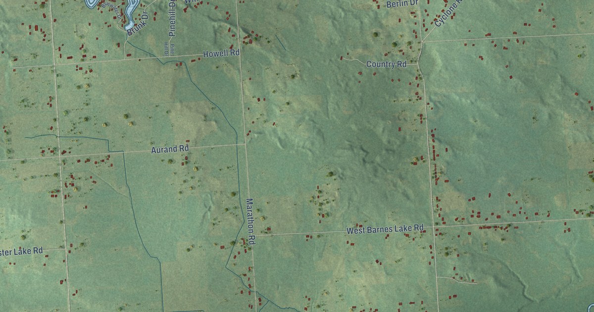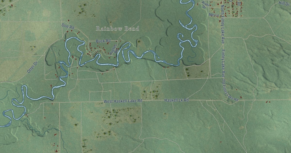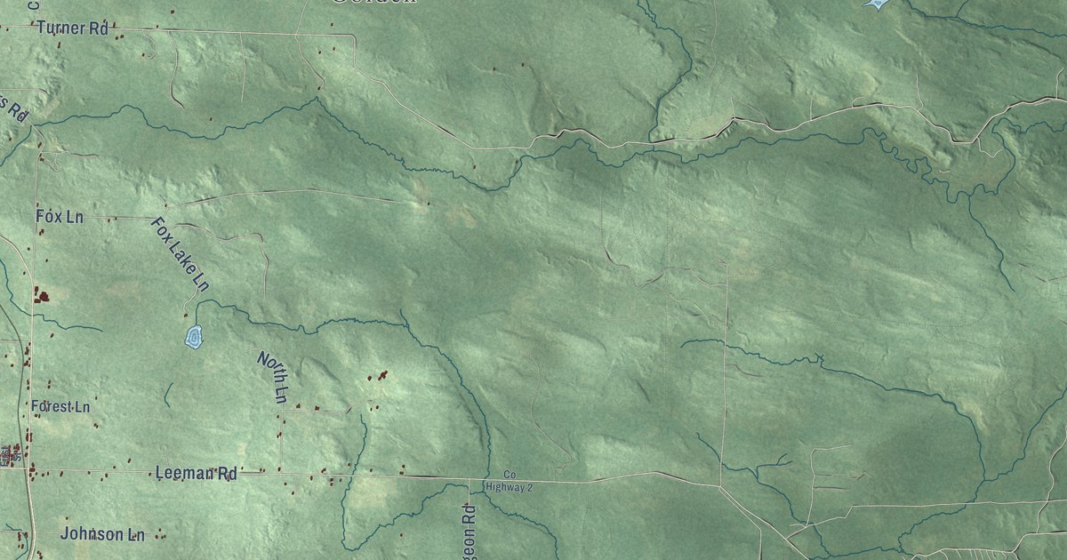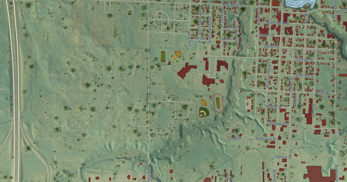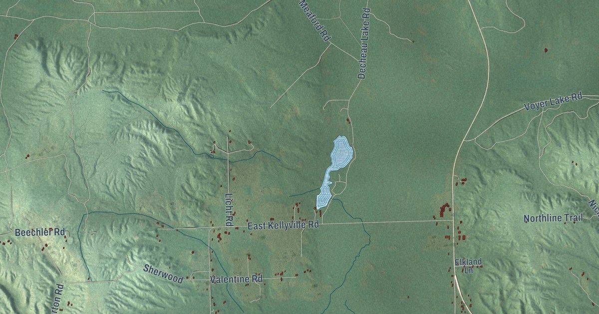
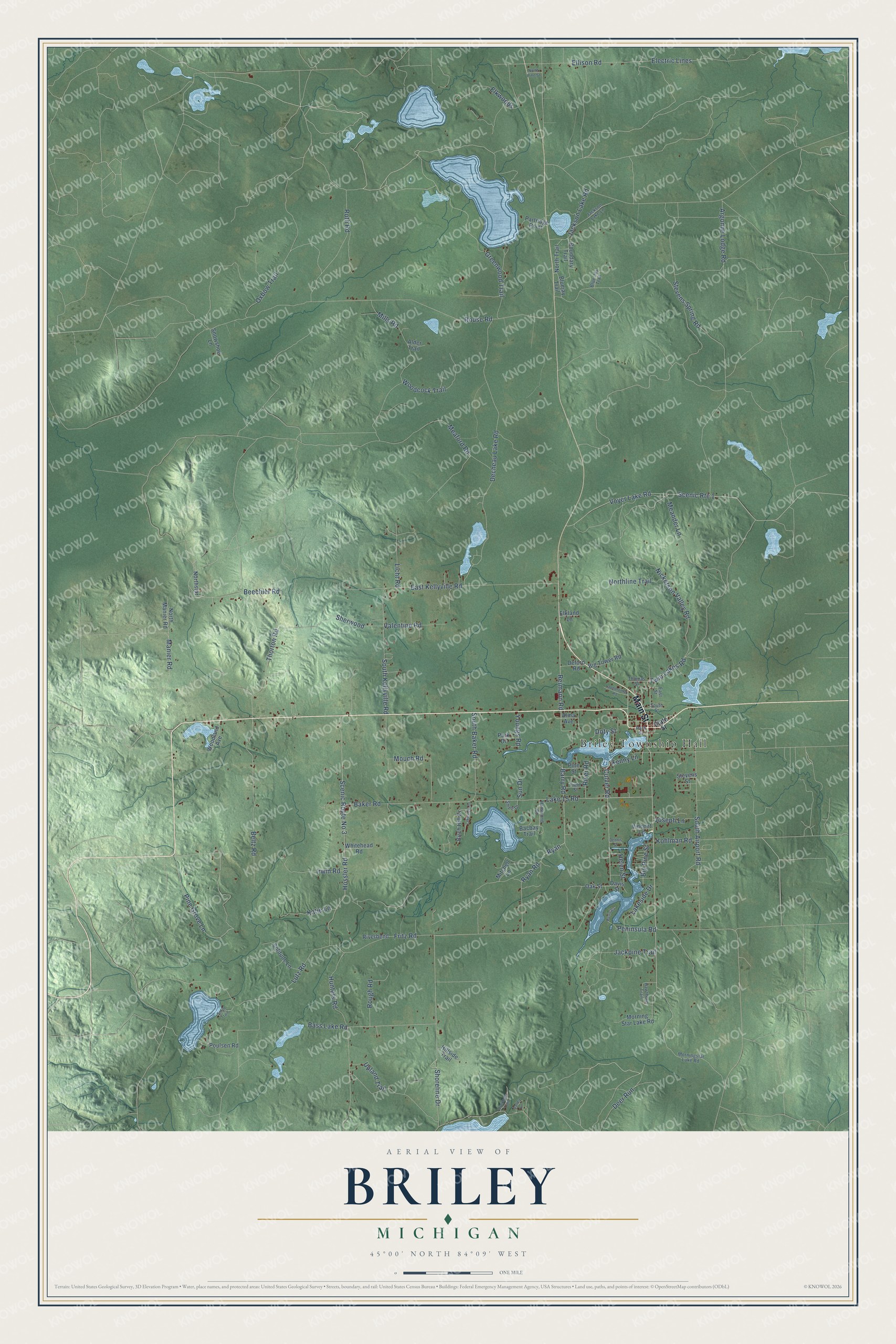
This beautifully detailed map of Briley, Michigan was created in 2026 using aerial imagery combined with modern topographical, census, street and landmark data. It's a modern aerial view of Briley in Montmorency County, Michigan, that combines modern data with a vintage aesthetic. The roads feature printed names, and if you look closely you can find your exact house accurately shown in its correct location.
Explore an aerial view of Briley, Michigan
On this map you'll find Briley Township Hall, Main Street, Reimann Road, Culver Road, Pine Grove Lane, Lake 15 Road, Deer Run, Twin Lakes Road, Rouse Road, Meaford Road, Stevens Spring Road, Hossler Road, and more. Each red shape is a building, so zoom in on the preview and look for yours.
Briley has a story worth telling. The Michigan History Center puts it this way: "By 1902 a general store owned by Briley Township pioneer William Remington housed the post office."
The Census Bureau counted 1,697 people here in 2020.
Take a closer look at the Briley map
Names on this map
These names are printed on this map.
Places: Briley Township Hall.
Streets and roads: Main Street, Reimann Road, Culver Road, Pine Grove Lane, Lake 15 Road, Deer Run, Twin Lakes Road, Rouse Road, Meaford Road, Stevens Spring Road, Hossler Road, Roth Road.
More street names, A to Z
Alder Trail, Alma Avenue, Argonne Lodge Road, Bacbay Trail, Baker Road, Barry Road, Bass Lake Road, Beechler Road, Beltz Road, Big Pine Street, Big Tower Road, Birch Hill Drive, Bluejay Trail, Blue Jay Trail, Boundary Trail, Davis Street, Decheau Lake Road, Deford Road, Dennis Street, Doty Street, East Kellyville Road, East Street, Electric Lines, Elkland Lane, Elkwoods, Ellison Road, Field Street, Fritz Road, Greenwood Trail, Hammond Drive, Hawthorn Trail, Helen Street, Hillside Trail, Hunters Road, Irwin Road, Jackpine Trail, Jackson Lake Lane, Jackson Lake Road, Joseph Lane, Katie Lane, Kenny Lane, Kohlman Road, Lakeside Drive, Lakeview Drive, Laundromat Road, Licht Road, Lutz Road, Manier Road, Meander Lane, Mills Road, Mitchell Lane, Morning Star Lake Road, Morningstar Lake Road, Mouch Road, Nickerson Valley Road, Northline Trail, North Manier Road, North Pine Street, Northstar, North Trail, Oak Street, Overlook Trail, Oxbow Trail, Park Drive, Park Street, Partridge Point, Peninsula Road, Penisala, Pine Street, Poulsen Road, Riverbend, River Road, Rough Road, Ryan, Ryan Road, Scenic Route 1, Scenic Route No 3, Sherwood, Shoreline Drive, Smelt Drive, Smith Trail, Snowshoe Lane, Solitude Lane, South Airport Road, South Baker Road, South Kellyville Road, South Street, State Street, Stevens Street, Sun Drive, Thomas Street, Thorton Road, Upland Trail, Valentine Road, Valley Lane, Vincent Lane, Voyer Lake Road, Whitehead Road, Woodcock Trail, Woodland Avenue, Youngs Road.
See it on a wall
The Briley map as a framed print. Swipe for more.


Created by KNOWOL in 2026. The buildings are small red shapes, the roads carry their printed names, and shaded relief shows the shape of the land. The title panel reads "AERIAL VIEW OF BRILEY, MICHIGAN" with 45°00' NORTH 84°09' WEST.
It looks right in a kitchen, an office or a den, and it's a gift for anyone who grew up in Briley or moved away. Open the preview and find your street. See sizes and frames for the Briley map.