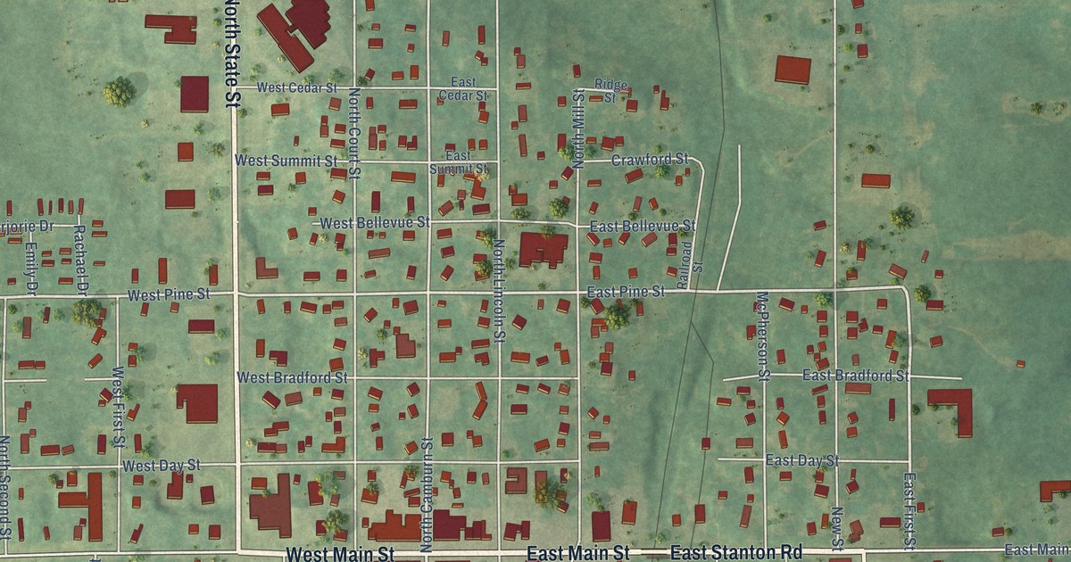
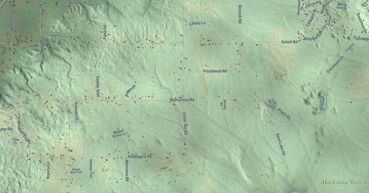
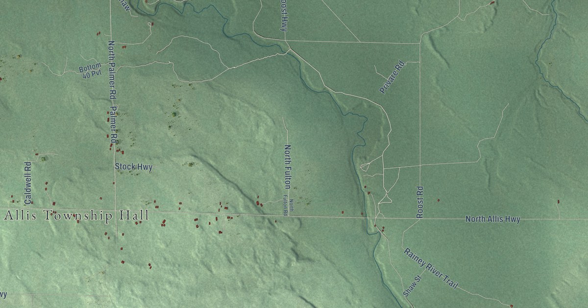
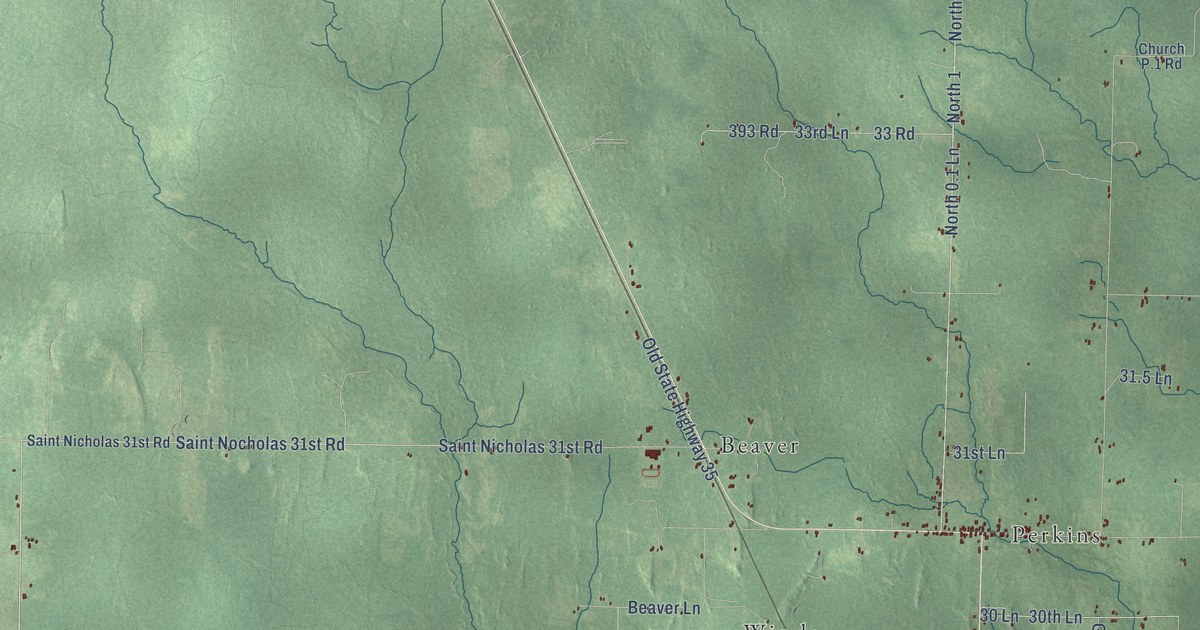
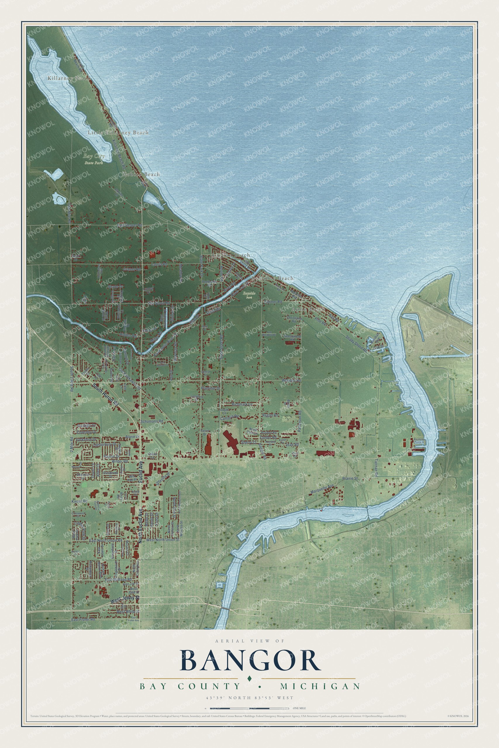
This beautifully detailed map of Bangor, Michigan was created in 2026 using aerial imagery combined with modern topographical, census, street and landmark data. It's a modern aerial view of Bangor in Bay County, Michigan, that combines modern data with a vintage aesthetic. The roads feature printed names, and if you look closely you can find your exact house accurately shown in its correct location.
Explore an aerial view of Bangor, Michigan
On this map you'll find Killarney Beach, Little Killarney Beach, Bay City State Park, Bayside Park, Aplin Beach, Donahue Beach, Lagoon Beach, Tobico Beach, West Jenny Street, South Huron Road, North Euclid Avenue, Euclid Avenue, and more. Each red shape is a building, so zoom in on the preview and look for yours.
Here is a piece of Bangor history, in the words of the record. The History of Bay County puts it this way: "Up to that time the place had been called Bangor, but there being another office of that name in the state it was necessary to choose another one, and Banks was selected in honor of Gen. N. P, Banks. The first postmaster was William F. Benson, a merchant of the place."
The Census Bureau counted 14,045 people here in 2020.
Take a closer look at the Bangor map
Names on this map
These names are printed on this map.
Places: Killarney Beach, Little Killarney Beach, Bay City State Park, Bayside Park, Aplin Beach, Donahue Beach, Lagoon Beach and Tobico Beach.
Streets and roads: West Jenny Street, South Huron Road, North Euclid Avenue, Euclid Avenue, East Midland Road, South 2 Mile Road, State Street Road, Kawkawlin River Drive, Smith Road, Lincoln Drive, West North Union Street, River Trail Drive.
More street names, A to Z
2 Mile Road, Ada Drive, Alarie Drive, Allen Court, Altadena Drive, Ann Court, Arctic Road, Bangor Road, Barber Road, Barn Drive, Barnett Drive, Barted Road, Bay Harbor Pointe Drive, Bay Road, Bay Shore Drive, Beechwood Road, Bowman Road, Boy Scout Road, Brooks Road, Bullet Drive, Cambria Road, Canterbury Drive, Carrier Lane, Castle Drive, Central Court, Christiana Road, Cole Lane, Coventry Drive, Coyer Lane, Cramer Road, Crestwood Court, Darla Drive, Debra Lane, Dobson Drive, Doerr's Forrest, Douglas Drive, Dover Lane, East Beaver Road, East Fisher Avenue, East Fisher Road, East Lewis Drive, East Malcolm Street, East North Union Road, Englehardt Drive, Englund Drive, Euclid Court, Ferris Drive, Fox Meadow Drive, Frost Drive, Gaslight Drive, Gies Street, Glenbrook Drive, Greenfield Drive, Gregg Drive, Handy Drive, Harris Lane, Hartley Road, Hidden Road, Hushen Road, Jean Road, Kessler Drive, Kiesel Road, Killarney Beach Road, Kuerbitz Drive, Lauria Road, Leff Lane, Leroy Lane, Linden Park Drive, Longfore Drive, Lourim Road, Lynmar Lane, Marquette Avenue, Meadow Drive, Melrose Drive, Meridian Avenue, Miller Road, Mocasa Court, National Avenue, North Chilson Street, North Columbian, North Erie Street, North Paul Circle, North Wenona Avenue, North Wenona Street, Nottingham Trail, Oakdale Drive, Oak Street, Old Kawkawlin Road, Orchard Manor Boulevard, Patterson Road, Paulan Drive, Pembroke Road, Perma Court, Pine Road, Plummer Drive, Poplar Lane, Prairie Street, Regan Road, Revilo Road, Richardson Drive, Richards Road, Richlyn Court, Richmark Lane, Ricoma Beach Road, River Road, Schumann Road, Scott Drive, Sequin Drive, Shady Shore Road, Shane Drive, Shannon Lane, Sherry Court, Sherwood Lane, Shillair Drive, Shrestha Drive, South Brentwood Drive, State Park Drive, Tiernan Road, Two Mile Road, Unnamed Driveway, Utah Drive, Ward Road, Webb Drive, West Birch Drive, Westfield Court, West Jane Street, West John Street, West Park Drive, West Riverview Drive, West White Street, Wheeler Road, Wilder Road, Wildflower, Win Kae Place, York Drive, Yorkshire Drive, Zander Road, Zimmer Road.
Created by KNOWOL in 2026. The buildings are small red shapes, the roads carry their printed names, and shaded relief shows the shape of the land. The title panel reads "AERIAL VIEW OF BANGOR, BAY COUNTY • MICHIGAN" with 43°39' NORTH 83°53' WEST.
It suits a den, a classroom or a front hall, and it makes a gift for anyone with Bangor roots. Open the preview and find the block you know. See sizes and frames for the Bangor, Bay County map.