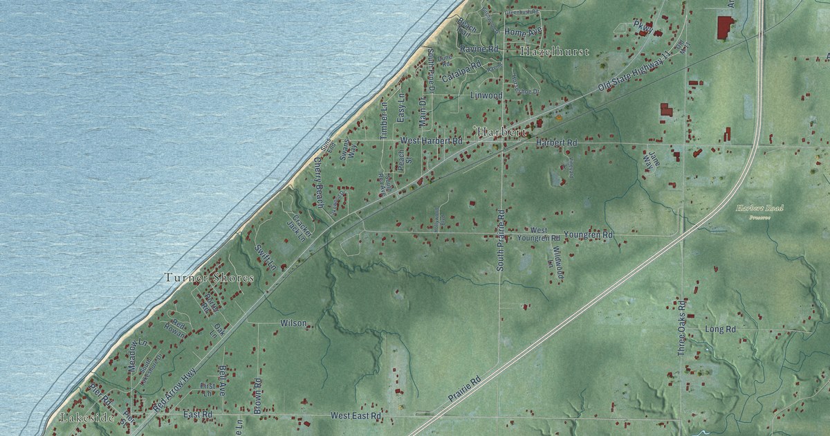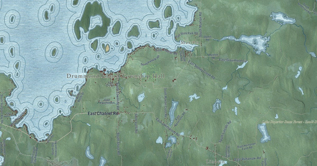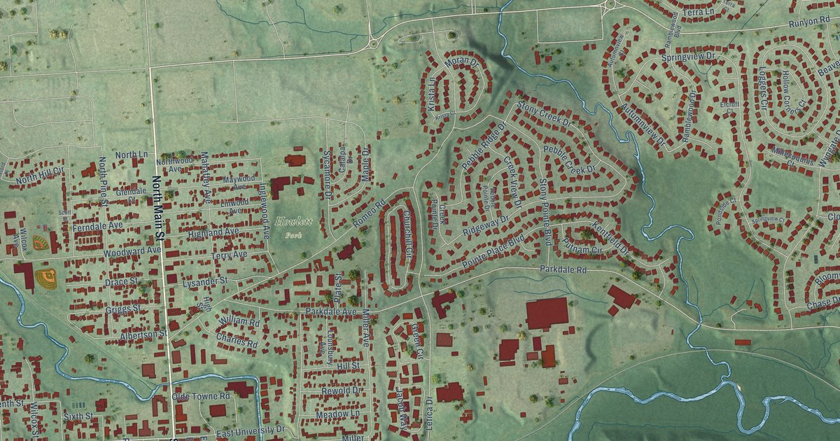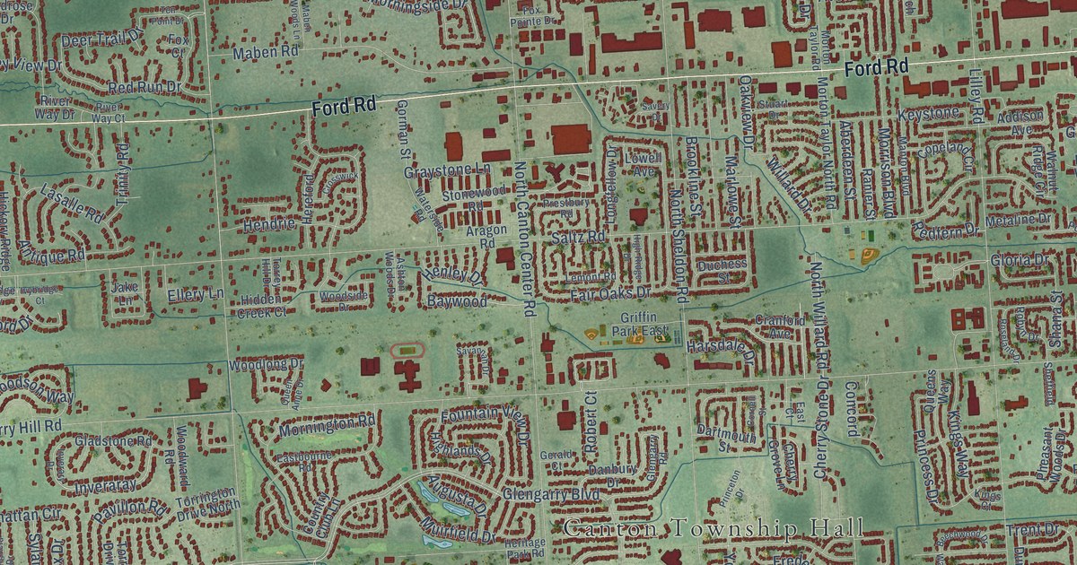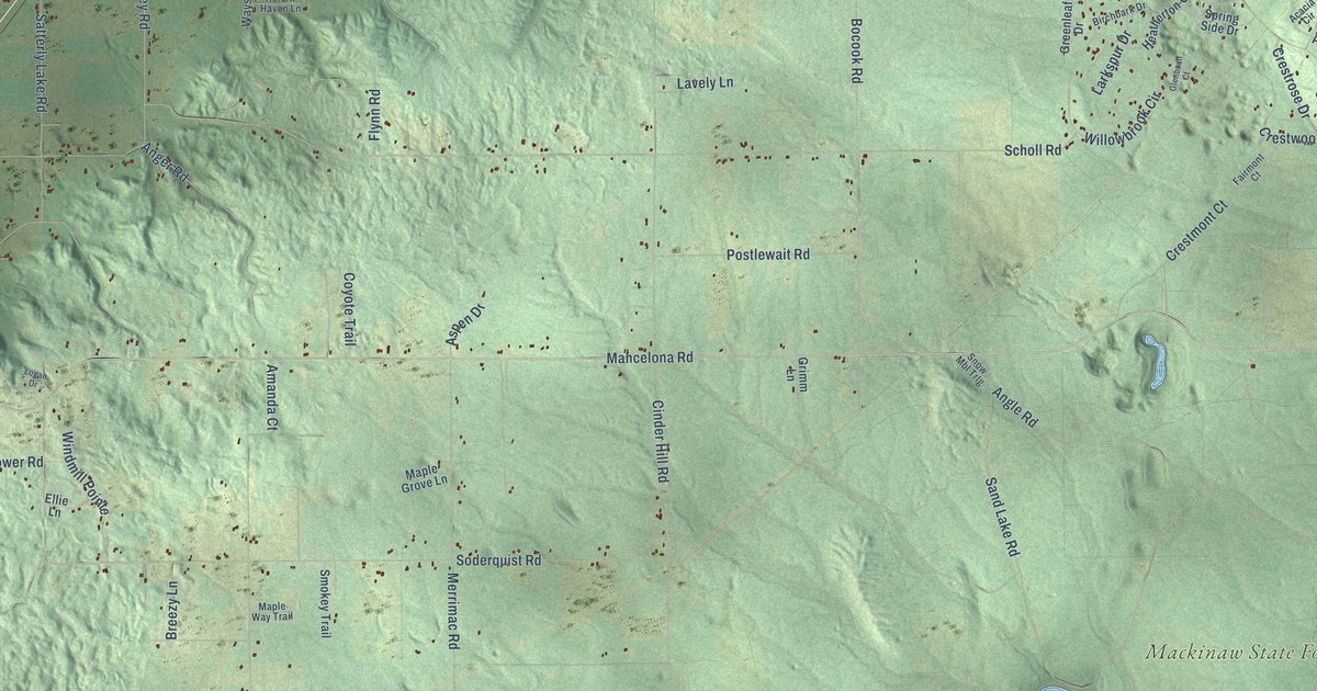
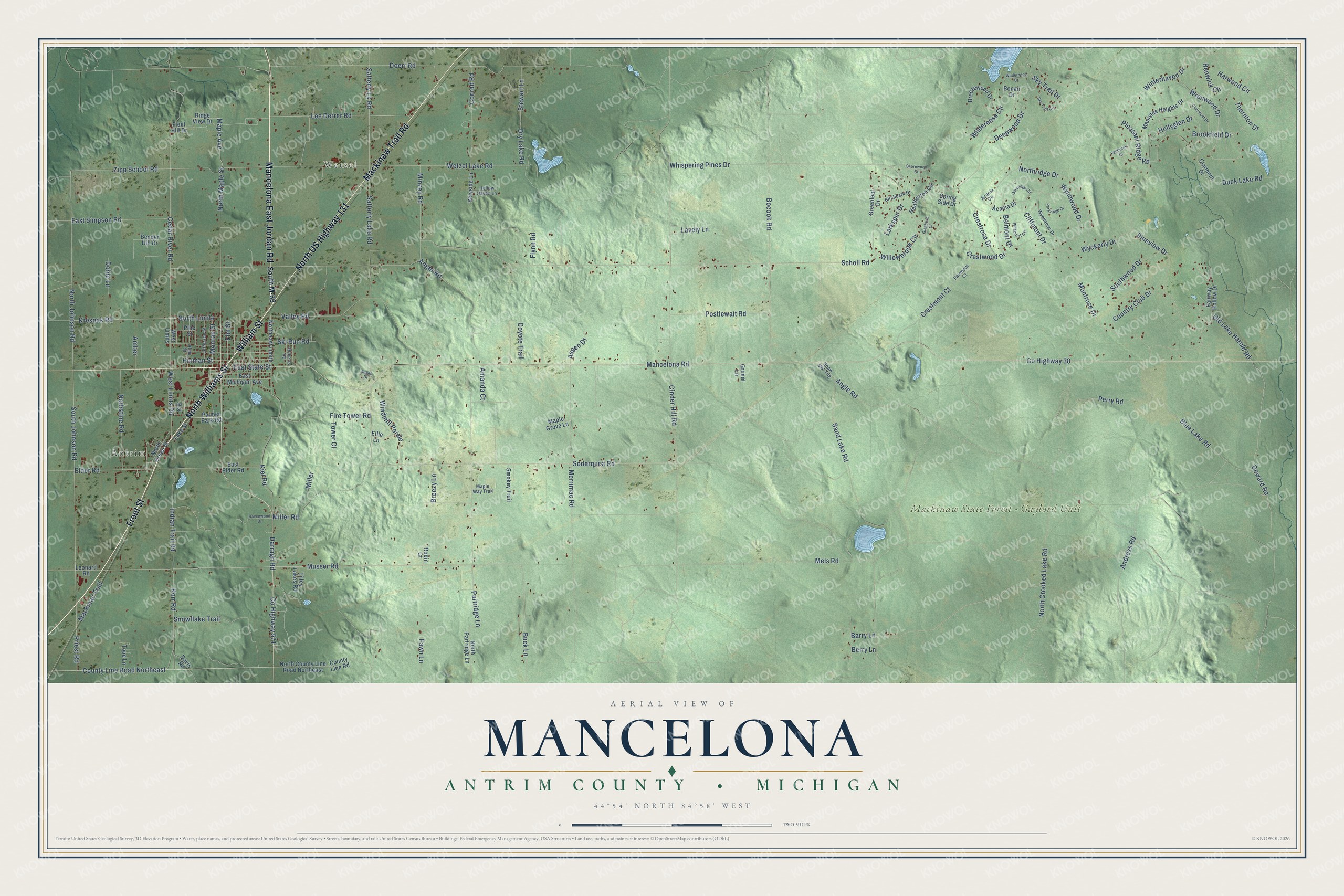
This beautifully detailed map of Mancelona, Michigan was created in 2026 using aerial imagery combined with modern topographical, census, street and landmark data. It's a modern aerial view of Mancelona in Antrim County, Michigan, that combines modern data with a vintage aesthetic. The roads feature printed names, and if you look closely you can find your exact house accurately shown in its correct location.
Explore an aerial view of Mancelona, Michigan
On this map you'll find Antrim, Wetzel, Mackinaw State Forest – Gaylord Unit, Front Street, North Williams Street, Mancelona East Jordan Road, William Street, North US Highway 131, Mackinaw Trail Road, North Maple Street, Maple Avenue, Musser Road, and more. Each red shape is a building, so zoom in on the preview and look for yours.
Every town has a first chapter, and Mancelona is no exception. The Traverse Region puts it this way: "The town of Mancelona was organized by act of legislature, approved Jan. 18, 1871, and embraced the territory of Townships 29 north, of Ranges 1, 2, 3 and 4, of Otsego County, and Townships 29 north, of Ranges 5 and 6 of Antrim County."
The Census Bureau counted 4,311 people here in 2020.
Take a closer look at the Mancelona map
Names on this map
These names are printed on this map.
Places: Antrim, Wetzel and Mackinaw State Forest - Gaylord Unit.
Streets and roads: Front Street, North Williams Street, Mancelona East Jordan Road, William Street, North US Highway 131, Mackinaw Trail Road, North Maple Street, Maple Avenue, Musser Road, Buck Lane, Lee Derrer Road, Satterly Lk Road.
More street names, A to Z
Acacia Circle, Acacia Drive, Alma Street, Amanda Court, Amber, Andress Road, Anger Road, Angle Road, Aspen Drive, Barry Lane, Belmont Drive, Bender Hill Drive, Berry Lane, Birchbark Drive, Blue Lake Road, Bocook Road, Bonair Drive, Breezewood Drive, Breezy Lane, Brookfield Drive, Cedar River Road, Cinder Hill Road, Clairmont Drive, Clarmont Drive, Cliffmont Drive, Conrad Road, Country Club Drive, County Highway 38, County Highway 571, County Line Road, County Line Road Northeast, Coyote Trail, Crestmont Court, Crestrose Drive, Crestwood Drive, Darragh Road, Davis Road, Deepwood Drive, Deward Road, Dobie Lane, Doerr Road, Dry Lake Road, Duck Lake Road, East Elder Road, East Michigan Avenue, East Simpson Road, East State Street, Elder Road, Ellie Lane, Elm Street, Fairmont Court, Fairway Hollow Drive, Fallbrook Court, Fawn Lane, Fire Tower Road, Fleet Hill Drive, Flynn Road, Glenbush Court, Glenridge Circle, Greenleaf Drive, Grimm Lane, Harwood Circle, Heatherton Circle, Hinman Street, Hollow Haven Lane, Hollyglen Drive, Ida Street, Indian Trail Road, Jefferson Street, Kiel Road, Korr Road, Kresnak Road, Lake Street, Larkspur Drive, Lavely Lane, Leonard Road, Logan Drive, Mackinac Trail, Mancelona Road, Manistee Heights Drive, Maple Grove Lane, Maple Way Trail, Mels Road, Merrimac Road, Miller, Miller Road, Minzey Road, Monroe Street, Montrose Drive, North County Line Road Northeast, North Crooked Lake Road, Northeast Limits, North Green Street, North Johnson Road, North Limits, North Partridge Lane, Northridge Drive, Nothstine Road, Old Lake Harold Road, Palmer Park Road, Parkridge Drive, Partridge Lane, Perry Road, Pine Street, Pineview Drive, Pleasant Ridge Road, Postlewait Road, Priest Road, Ravenwood Drive, Renwick Circle, Ridge View Drive, Roberts Road, Robin Court, Sand Lake Road, Satterly Lake Road, Scholl Road, Shorewood Court, Ski Run Road, Sky Trail Circle, Sky Trail Drive, Smokey Trail, Snowflake Trail, Snow Mbl Trlg, Soderquist Road, South Johnson Road, South M-66, Southwood Drive, Spring Side Drive, Stewart Lane, Thornton Drive, Tilley Lakes Road, Tope Lane, Tower Court, Valley Road, Wayside Lane, West Limits, West Limits Road, Wetzel Lake Road, Whispering Pines Drive, Wilamont Circle, Wilderness Circle, Wilderness Drive, Willowbrook Circle, Windmill Pointe, Winterhaven Drive, Wrenwood Drive, Wyckerly Drive, Wyndamar Drive, Wyndwood Drive, Zipp School Road.
Created by KNOWOL in 2026. The buildings are small red shapes, the roads carry their printed names, and shaded relief shows the shape of the land. The title panel reads "AERIAL VIEW OF MANCELONA, ANTRIM COUNTY • MICHIGAN" with 44°54' NORTH 84°58' WEST.
Hang it in the hallway, the office or the cabin, or give it to someone who left Mancelona and still calls it home. Open the preview and look for a street you know. See sizes and frames for the Mancelona, Antrim County map.