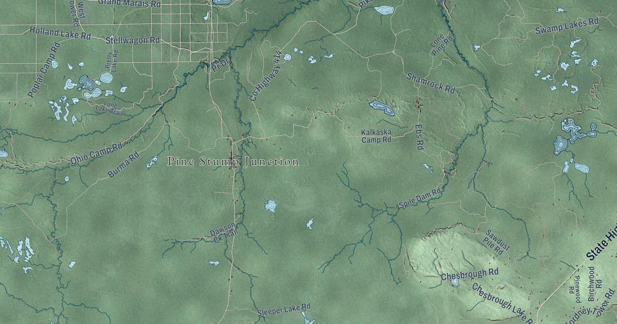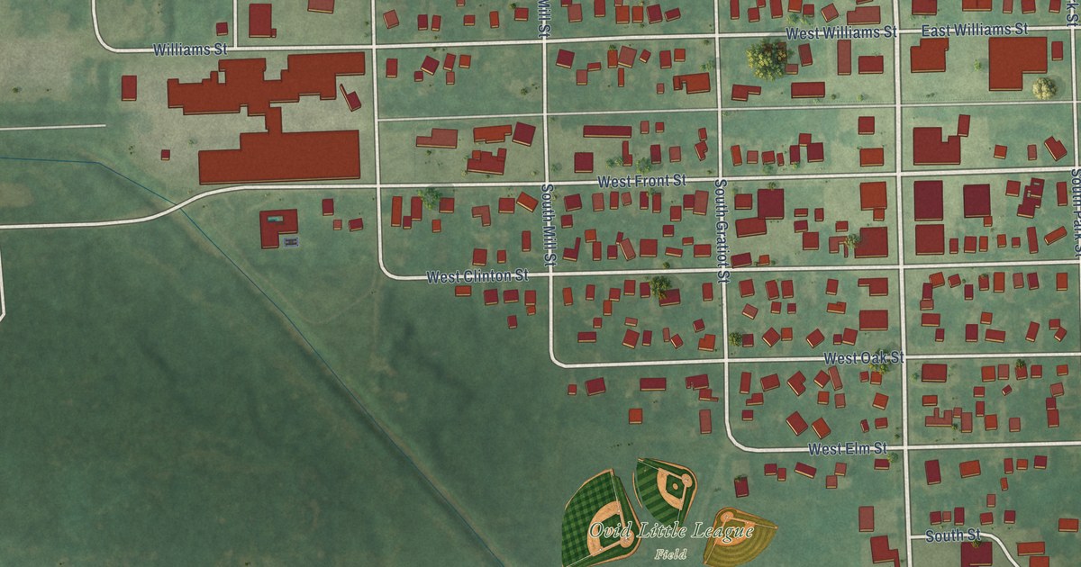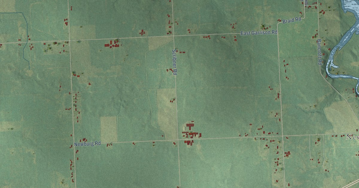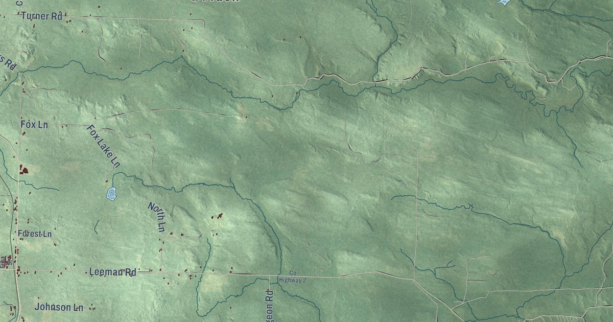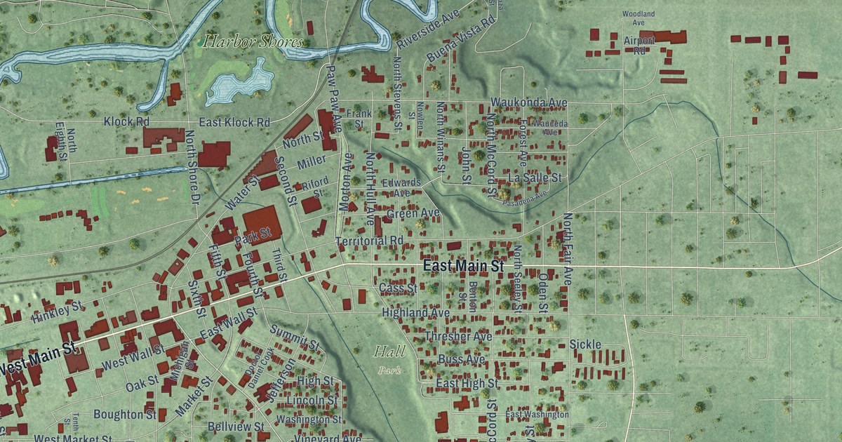
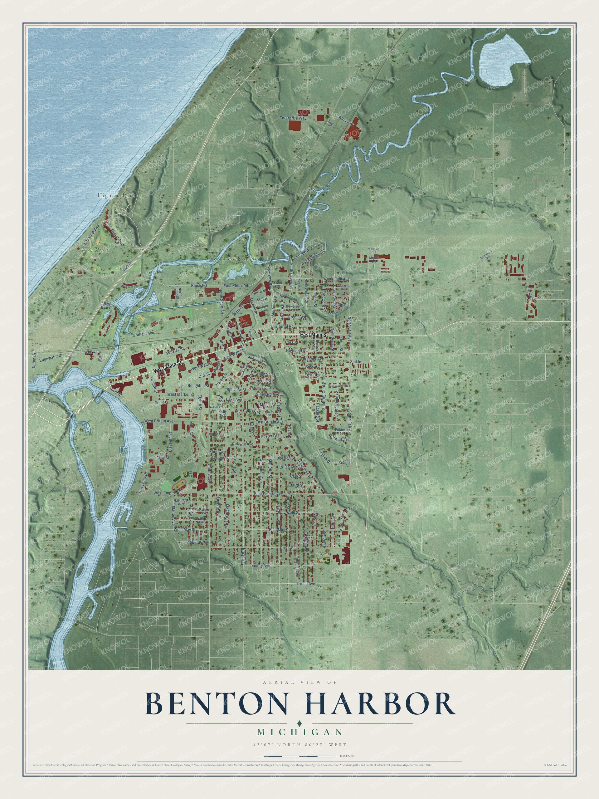
This beautifully detailed map of Benton Harbor, Michigan was created in 2026 using aerial imagery combined with modern topographical, census, street and landmark data. It's a modern aerial view of Benton Harbor in Berrien County, Michigan, that combines modern data with a vintage aesthetic. The roads feature printed names, and if you look closely you can find your exact house accurately shown in its correct location.
Explore an aerial view of Benton Harbor, Michigan
On this map you'll find Hall Park, Jean Klock Park, Union Park, Higman Park, Harbor Shores, West Main Street, East Main Street, Pipestone Street, Grand Boulevard, Jean Drive, Riverside Avenue, West Wall Street, and more. Each red shape is a building, so zoom in on the preview and look for yours.
Benton Harbor has a story worth telling. The History of Berrien and Van Buren Counties puts it this way: "Shortly after the close of the war a company was organized, called Elkhart and Lake Michigan Railroad Company, for the purpose of building a railroad from Benton Harbor, Berrien County, Mich., to Elkhart, Ind."
Benton Harbor is a city in Berrien County. The Census Bureau counted 9,103 people here in 2020.
Take a closer look at the Benton Harbor map
Names on this map
These names are printed on this map.
Places: Hall Park, Jean Klock Park, Union Park, Higman Park and Harbor Shores.
Streets and roads: West Main Street, East Main Street, Pipestone Street, Grand Boulevard, Jean Drive, Riverside Avenue, West Wall Street, East Wall Street, Klock Road, North Fair Avenue, Marion Avenue, Fifth Street.
More street names, A to Z
Agard Avenue, Airport Road, Alreco Road, Apple Avenue, Baird Street, Beachwood Path, Bellview Street, Benton Street, Bishop Avenue, Bond Street, Boughton Street, Broadway, Buena Vista Road, Buss Avenue, Cass Street, Catalpa Avenue, Cedar Street, Cherry Street, Clay Street, Colby Avenue, Colfax Avenue, Columbus Avenue, Cross Street, Davis Road, Division Street, Doctor Daniel Cook, East Britain Avenue, East Empire Avenue, East High Street, East Klock Road, East May Street, East Washington, Edgewater Drive, Edwards Avenue, Eighth Street, Eleventh Street, Emery Avenue, Enterprise Way, Forest Avenue, Foster Avenue, Fourth Street, Frank Street, Garfield Avenue, Golden Bear Court, Graham Avenue, Gray Street, Green Avenue, Hannah Court, Harrison Avenue, Hastings Avenue, Heck Court, Highland Avenue, High Street, Hinkley Street, Hurd Avenue, Jean Klock Boulevard, Jefferson, Jennings Avenue, John Street, Kirby Avenue, Kirby Street, Kline Avenue, Lake Avenue, La Salle Street, Lavette Avenue, Lincoln Street, Lynch Avenue, Maple Street, Market Street, McAllister Avenue, Michigan Street, Miller, Milton Street, Monroe Street, Morton Avenue, Niles Avenue, Ninth Street, North Eighth Street, North Hull Avenue, North McCord Street, North Seeley Street, North Shore Drive, North Stevens Street, North Street, North Winans Street, Nowlen Street, Oak Street, Oden Street, Ogden Avenue, Ohio Street, Orchard Drive, Packard Street, Parker Avenue, Park Street, Pasadena Avenue, Pavone Street, Paw Paw Avenue, Pearl Street, Pitkins Avenue, Plaza Street, Red Arrow Highway, Riford Street, River Run, River Street, Riverview Drive, Robbins Avenue, Salem Avenue, Schulz, Searles Avenue, Second Street, Sickle, Sixth Street, South Fair Avenue, South McCord Street, South Seeley Street, Summit Street, Superior Street, Tenth Street, Territorial Road, Third Street, Thresher Avenue, Twelfth Street, Union Street, Upton Drive, Valley Drive, Vineyard Avenue, Warwick Terrace, Washington Street, Water Street, Wauceda Avenue, Waukonda Avenue, Weld Street, West Britain Avenue, West Empire Avenue, West Market Street, West May Street, Whitwam, Woodland Avenue.
Created by KNOWOL in 2026. The buildings are small red shapes, the roads carry their printed names, and shaded relief shows the shape of the land. The title panel reads "AERIAL VIEW OF BENTON HARBOR, MICHIGAN" with 42°07' NORTH 86°27' WEST.
It looks right in a kitchen, an office or a den, and it's a gift for anyone who grew up in Benton Harbor or moved away. Open the preview and find your street. See sizes and frames for the Benton Harbor map.