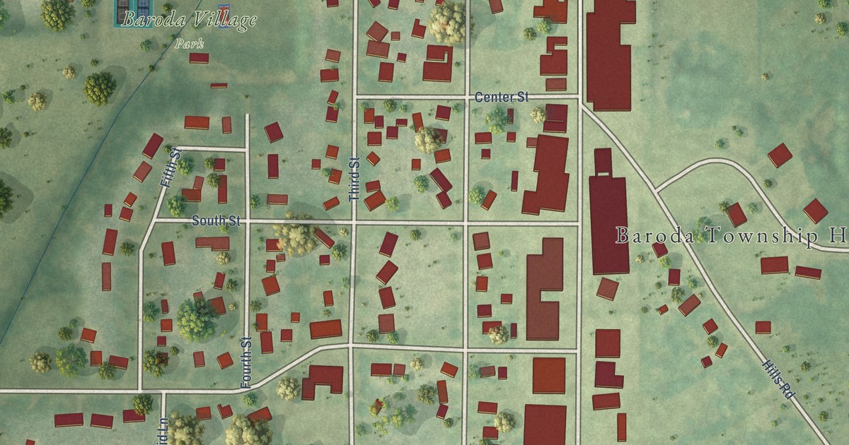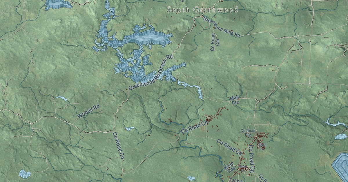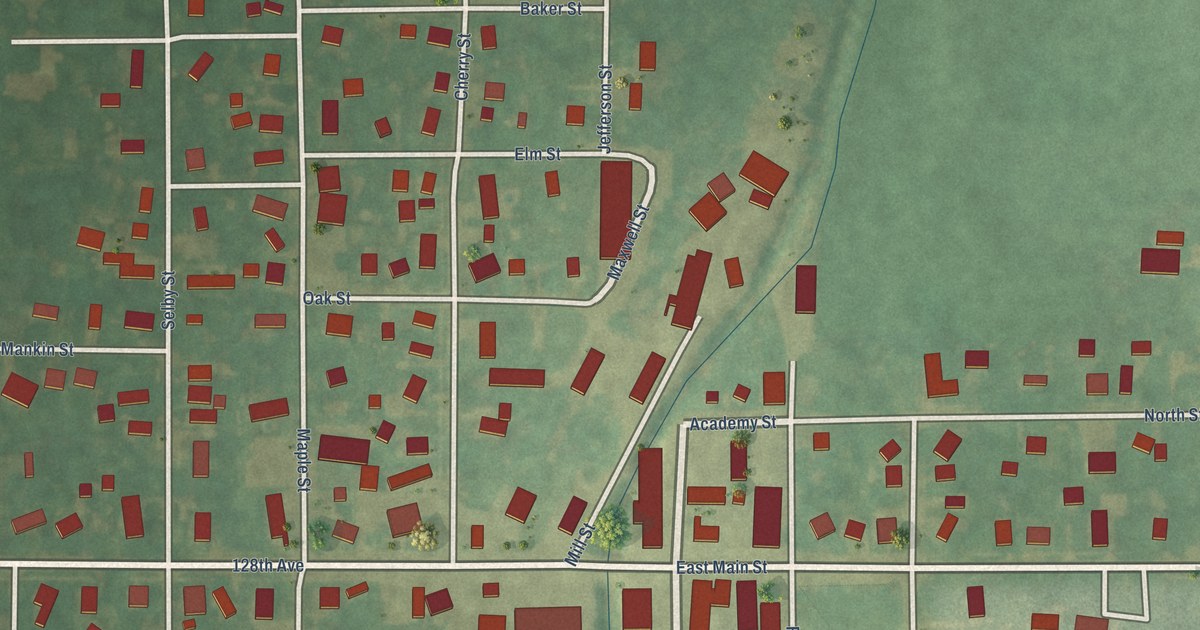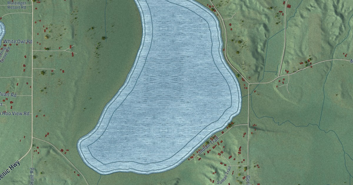
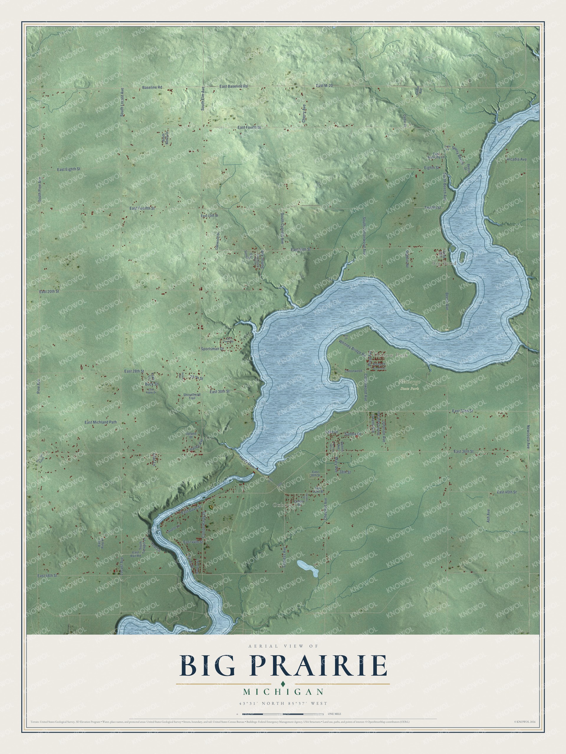
This beautifully detailed map of Big Prairie, Michigan was created in 2026 using aerial imagery combined with modern topographical, census, street and landmark data. It's a modern aerial view of Big Prairie in Newaygo County, Michigan, that combines modern data with a vintage aesthetic. The roads feature printed names, and if you look closely you can find your exact house accurately shown in its correct location.
Explore an aerial view of Big Prairie, Michigan
On this map you'll find Big Bend, Oxbow, Oxbow Park, Newaygo State Park, Newcosta Avenue, East 32nd Street, Chestnut Avenue, Baseline Road, Beech Avenue, East 48th Street, Cottonwood Avenue, Cypress Avenue, and more. Each red shape is a building, so zoom in on the preview and look for yours.
Here is a piece of Big Prairie history, in the words of the record. The Biographical Album of Newaygo County puts it this way: "The first election was held at the school-house on Big Prairie, presided over by Alden Angevine, Everett Douglass and Ephraim H. Utley."
The Census Bureau counted 2,436 people here in 2020.
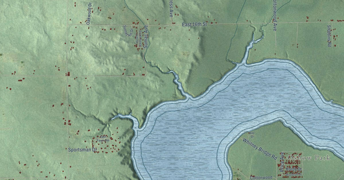
Take a closer look at the Big Prairie map
Names on this map
These names are printed on this map.
Places: Big Bend, Oxbow, Oxbow Park and Newaygo State Park.
Streets and roads: Newcosta Avenue, East 32nd Street, Chestnut Avenue, Baseline Road, Beech Avenue, East 48th Street, Cottonwood Avenue, Cypress Avenue, East 36th Street, South Pine Avenue, Croton Hardy Drive, Mary Avenue.
More street names, A to Z
29 Th Street, 36th, 36th Street, 38th Street, Arcadia Avenue, Ash Avenue, Beech Street, Buck Street, Camp Avenue, Cedar Avenue, Cedar Drive, Center Street, Cherry Avenue, Cottonwood, Dennis Avenue, East 13th Street, East 16th Street, East 20th Street, East 28th Street, East 30th Street, East 38th Street, East 40th Street, East 44th Street, East Apple Drive, East Baseline Road, East Butterfly Lane, East Dave Street, East Eighth Street, Eastern Street, East Fawn Avenue, East Fourth Street, East Lane Street, East M-20, East Michland Path, East Pine Place, East Rail Road, East Twelfth Street, Eighth Street, Fawn Lane, Hardy Dam, Hardy Drive, Hickory Avenue, Johnson Avenue, Lake Drive, Lasalle Lane, Lilac Lane, Locust Avenue, Miramar Avenue, Oakwood Drive, Owens Avenue, Pine 36th Cutoff, Pine Avenue, Price Avenue, Ray Drive, River Street, Sandra Drive, Shovelhead Trail, South Antor Avenue, South Beech Avenue, South Chase Avenue, South Cottonwood Avenue, South Cypress Avenue, South Elm Avenue, South Forest Hills Drive, South Locust Avenue, South Nancy Drive, South Tanager Lane, Sportsman Drive, Stebbins Road, Sumac Avenue, Sunny Beech, Sunset Hill Drive, Teal Lane, Tuttle Road, Twelfth Street, Upland Drive, Valley Avenue, Whitney Bridge Road, Woodruff Drive.
Created by KNOWOL in 2026. The buildings are small red shapes, the roads carry their printed names, and shaded relief shows the shape of the land. The title panel reads "AERIAL VIEW OF BIG PRAIRIE, MICHIGAN" with 43°31' NORTH 85°37' WEST.
It suits a den, a classroom or a front hall, and it makes a gift for anyone with Big Prairie roots. Open the preview and find the block you know. See sizes and frames for the Big Prairie map.