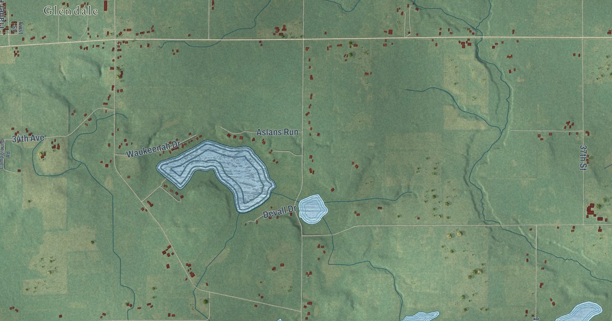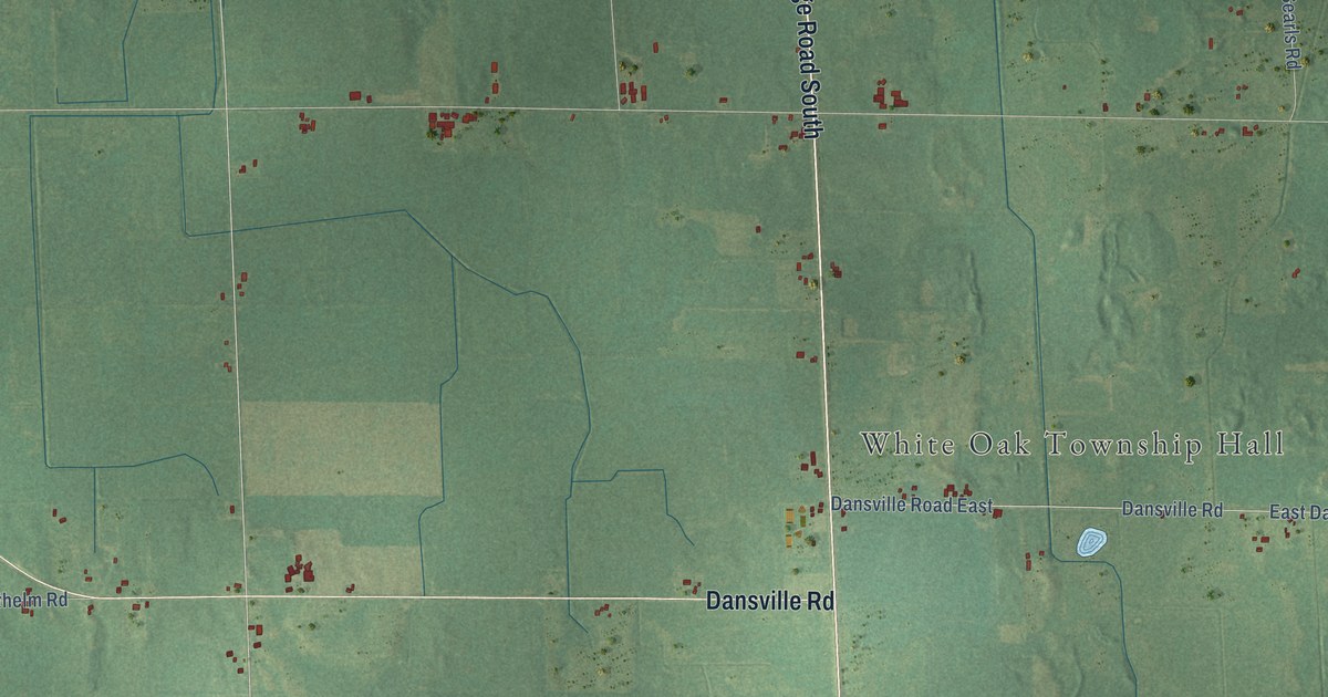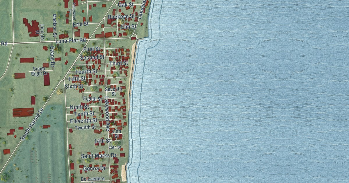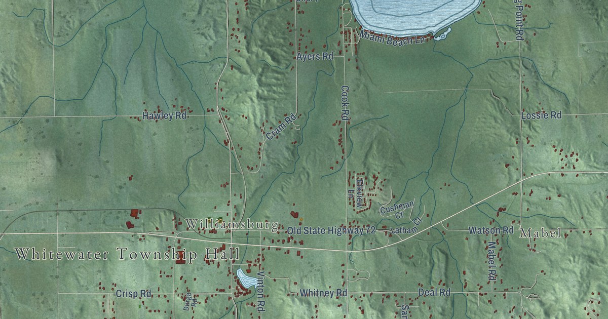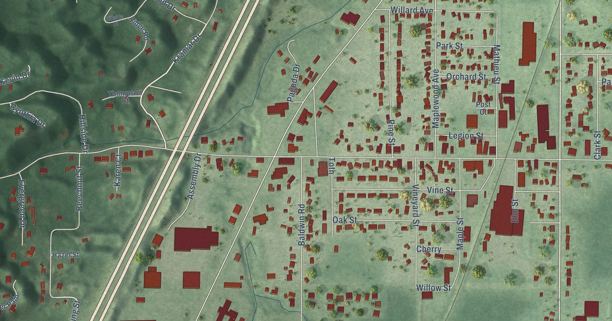
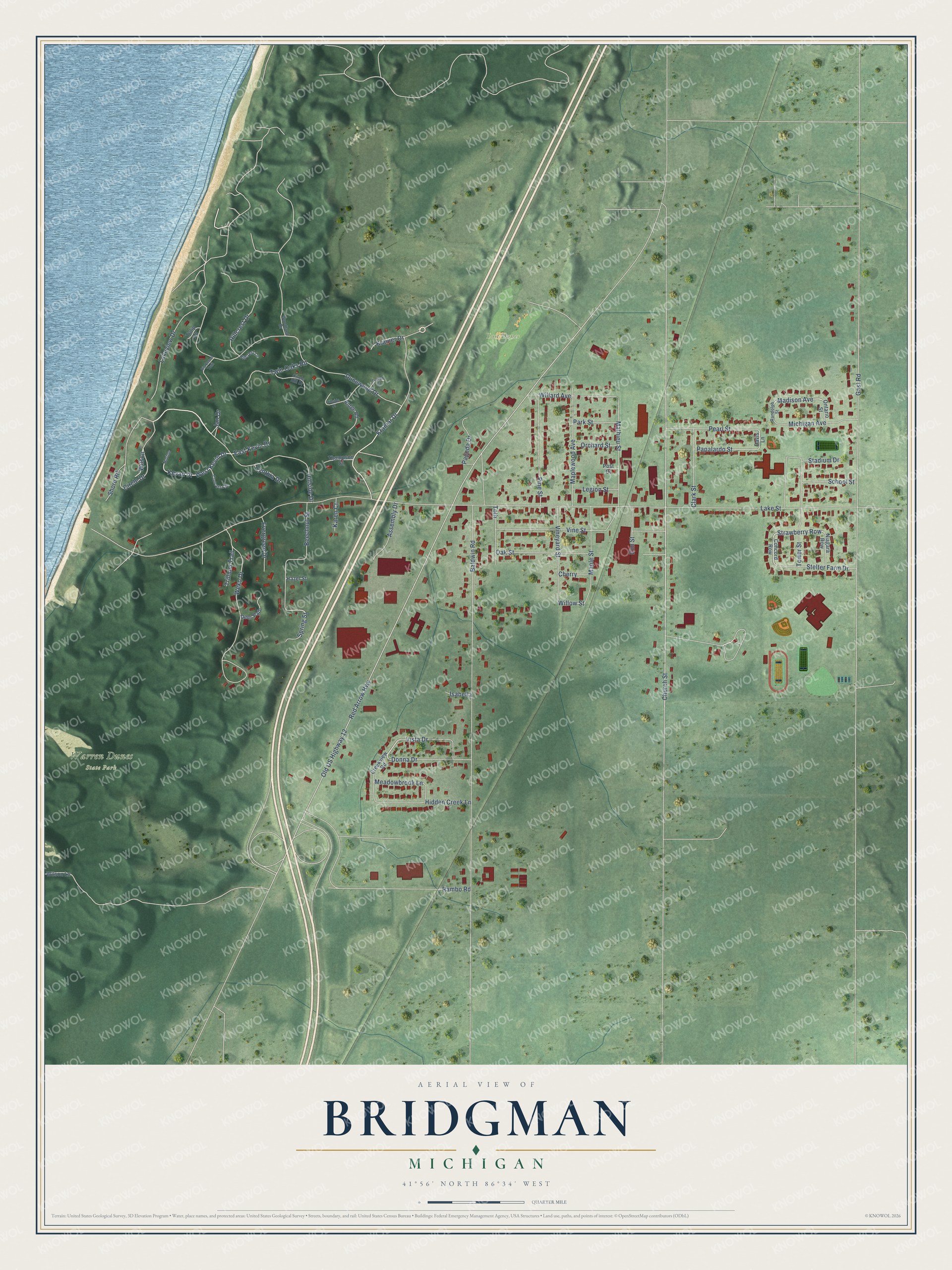
This beautifully detailed map of Bridgman, Michigan was created in 2026 using aerial imagery combined with modern topographical, census, street and landmark data. It's a modern aerial view of Bridgman in Berrien County, Michigan, that combines modern data with a vintage aesthetic. The roads feature printed names, and if you look closely you can find your exact house accurately shown in its correct location.
Explore an aerial view of Bridgman, Michigan
On this map you'll find Lost Dunes, Warren Dunes State Park, Strawberry Row, Madison Avenue, Church Street, Circle Drive, Kramar Drive, Willow Street, West Kevin Drive, Lake Street, Red Arrow Highway, Old US Highway 12, and more. Each red shape is a building, so zoom in on the preview and look for yours.
Every town has a first chapter, and Bridgman is no exception. The History of Berrien and Van Buren Counties puts it this way: "In 1870 another of the original proprietors, George Bridgman, platted a village half a mile east, on the railroad, where a station was located that year."
Bridgman is a city in Berrien County. The Census Bureau counted 2,096 people here in 2020.
Take a closer look at the Bridgman map
Names on this map
These names are printed on this map.
Places: Lost Dunes and Warren Dunes State Park.
Streets and roads: Strawberry Row, Madison Avenue, Church Street, Circle Drive, Kramar Drive, Willow Street, West Kevin Drive, Lake Street, Red Arrow Highway, Old US Highway 12, Gast Road, Dunewood Drive.
More street names, A to Z
Assembly Drive, Baldwin Road, Beechnut Street, Big Beech Trail, Cherry, Circle Hill Drive, Clark Street, Concetta Drive, Concord Row, Creekview Road, Cynthia Drive, Davis Lane, Deer Path, Donna Drive, East Kevin Drive, Elm Street, Evergreen Drive, Fuller Court, Hazel Street, Hidden Creek Lane, Hillcrest Drive, Hillcrest Lane, Hillside Court, Hillside Drive, Isabella, Jan Drive, Karen Court, Kevan Drive, Kramer Drive, Lakeview Drive, Legion Street, Maple Street, Maplewood Avenue, Mathieu Street, Meadowbrook Lane, Michigan Avenue, Niagara Row, Norton, Oak Street, Ontario Street, Orchard Street, Pagoda Drive, Papalardo Street, Park Street, Pearl Street, Pine Street, Post Court, Rambo Road, Randolph Street, Ridge Road, School Street, Shore Road, Spring Street, Stadium Drive, Stelter Farm Drive, Thompson Court, Toth, Tower Street, Trillium Trail, Tulip Lane, Twin Oaks Road, Vine Street, Vineyard Street, Vista Drive, Weko Drive, Willard Avenue, Wilson, Wilson Lane, Woodland Drive.
Created by KNOWOL in 2026. The buildings are small red shapes, the roads carry their printed names, and shaded relief shows the shape of the land. The title panel reads "AERIAL VIEW OF BRIDGMAN, MICHIGAN" with 41°56' NORTH 86°34' WEST.
Hang it in the hallway, the office or the cabin, or give it to someone who left Bridgman and still calls it home. Open the preview and look for a street you know. See sizes and frames for the Bridgman map.