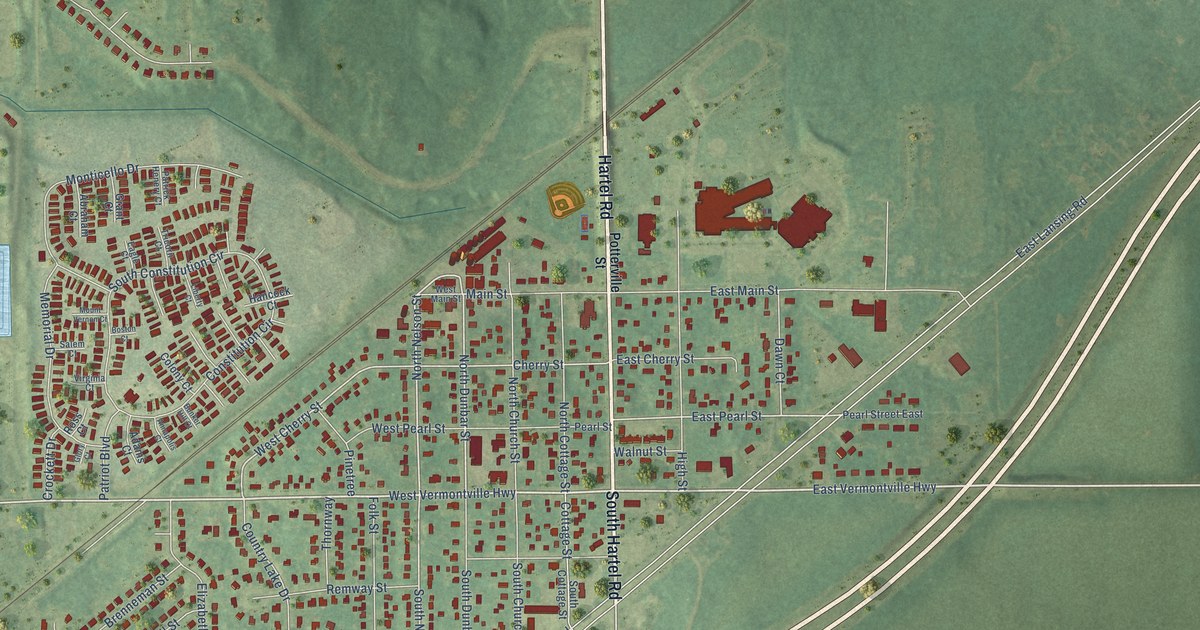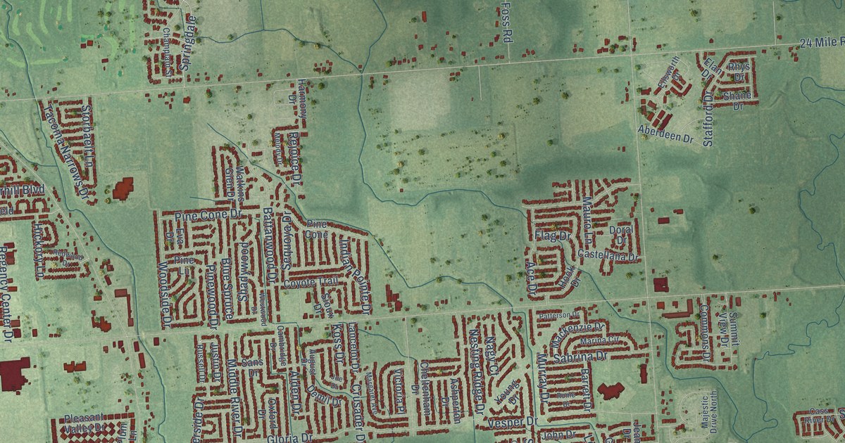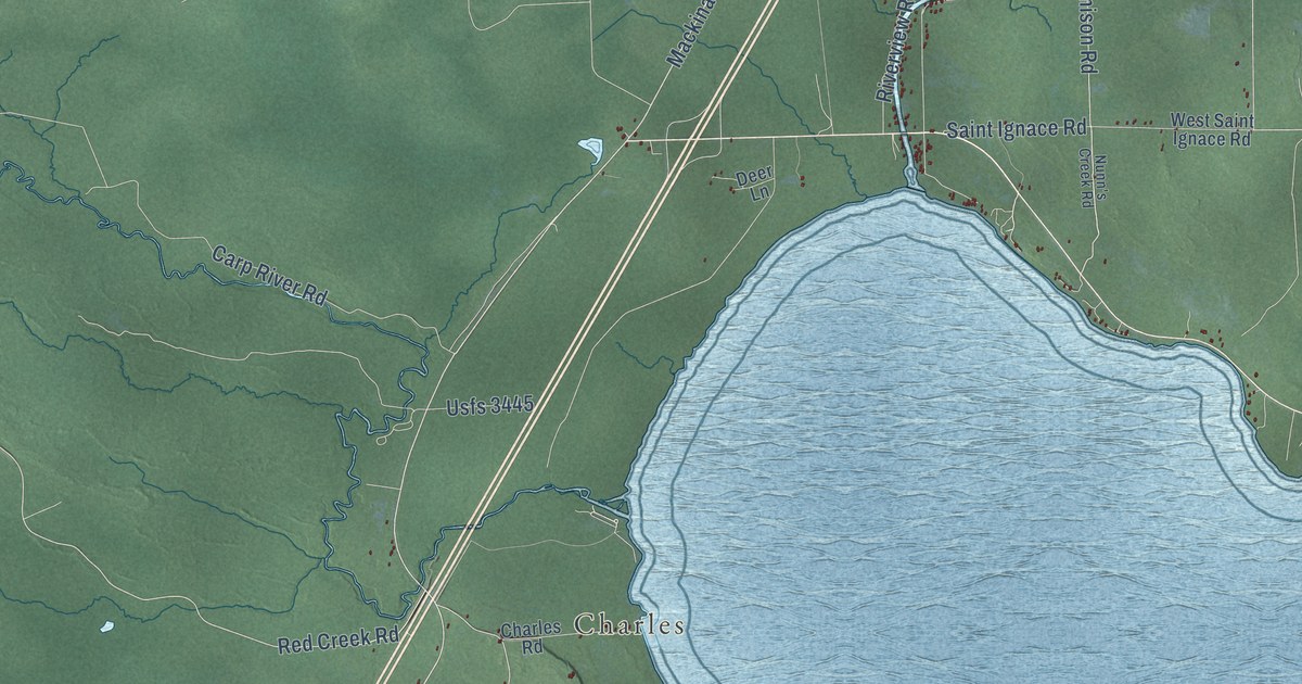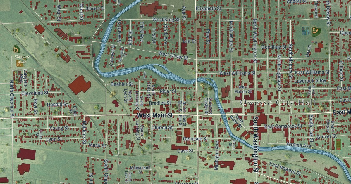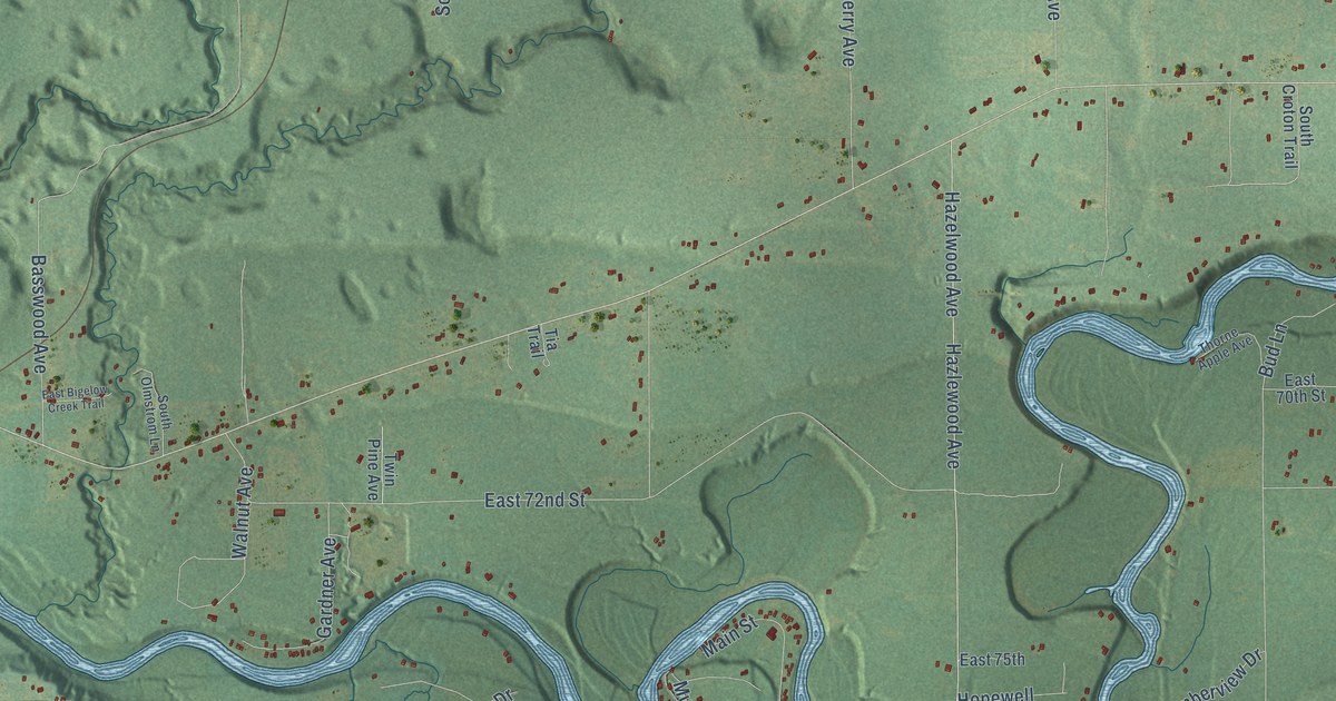
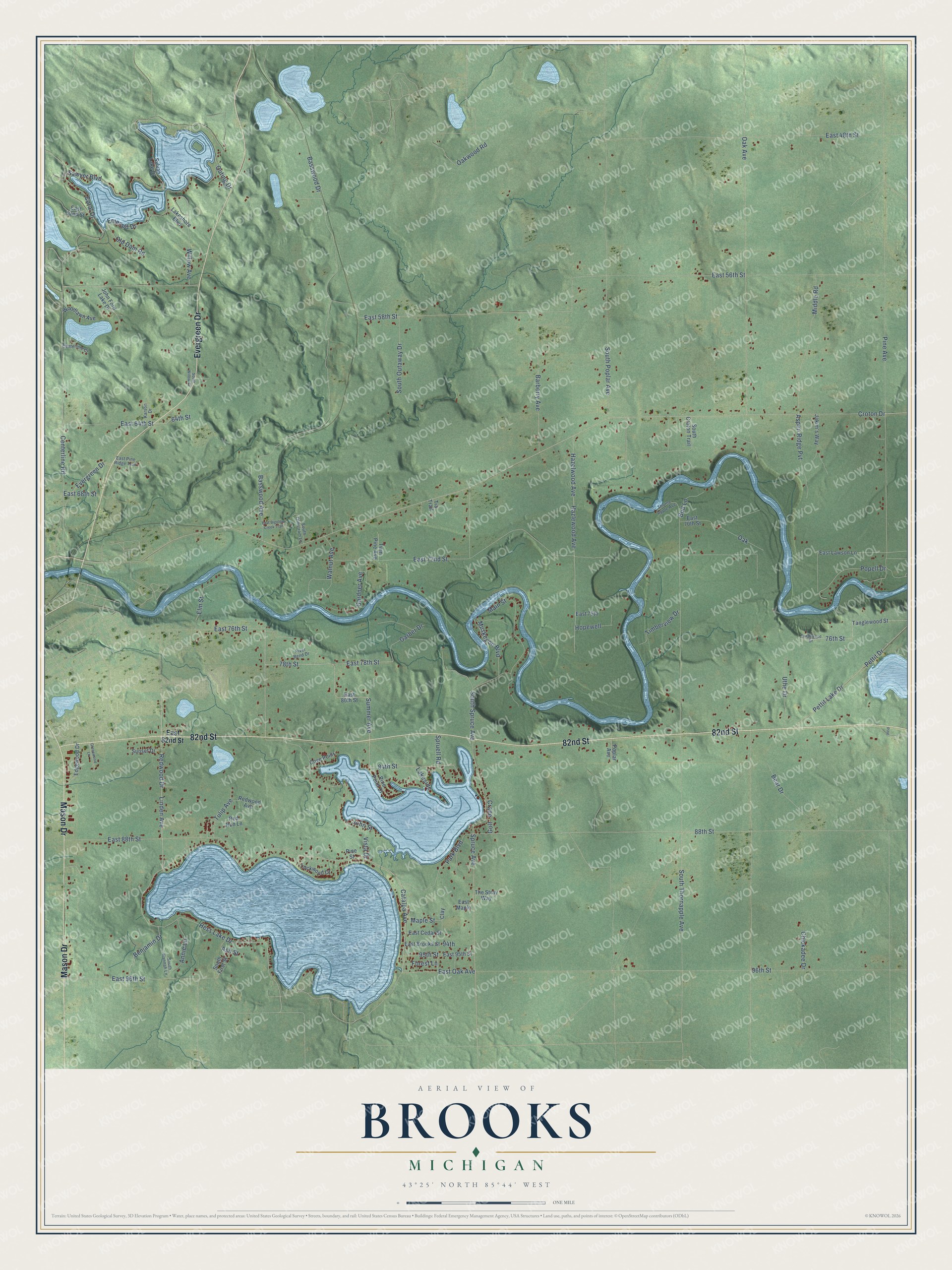
This beautifully detailed map of Brooks, Michigan was created in 2026 using aerial imagery combined with modern topographical, census, street and landmark data. It's a modern aerial view of Brooks in Newaygo County, Michigan, that combines modern data with a vintage aesthetic. The roads feature printed names, and if you look closely you can find your exact house accurately shown in its correct location.
Explore an aerial view of Brooks, Michigan
On this map you'll find 82nd Street, Evergreen Drive, Mason Drive, East 88th Street, Basswood Avenue, Basswood Drive, Catalpa Avenue, Walnut Avenue, 78th Street, Summer Avenue, East Oak Avenue, Croton Drive, and more. Each red shape is a building, so zoom in on the preview and look for yours.
Every town has a first chapter, and Brooks is no exception. The Biographical Album of Newaygo County puts it this way: "Brooks was one of the two townships organized in 1851, before the county was organized. Isaac D. Merrill was the first Supervisor."
The Census Bureau counted 3,705 people here in 2020.
Take a closer look at the Brooks map
Names on this map
These names are printed on this map.
Streets and roads: 82nd Street, Evergreen Drive, Mason Drive, East 88th Street, Basswood Avenue, Basswood Drive, Catalpa Avenue, Walnut Avenue, 78th Street, Summer Avenue, East Oak Avenue, Croton Drive.
More street names, A to Z
64th Street, 76th Street, 84th Street, 88th Street, 94th, 95th Street, 96th Street, Annie Lane, Ash Street, Aspen Ridge Pvt, Barberry Avenue, Bear Drive, Benjamin Drive, Bud Lane, Centerline Court, Centerline Road, Chickadee Drive, Clay, Coral Drive, Cove Point, Crane, East 48th Street, East 52nd Street, East 56th Street, East 58th Street, East 64th Street, East 68th Street, East 70th Street, East 72nd Street, East 75th, East 76th Street, East 78th Street, East 80th Street, East 82nd Street, East 95th Street, East 96th Street, East Bigelow Creek Trail, East Brooks Street, East Cedar Street, East Lawson Lane, East Maple, East Pine Ridge Trail, Edgewood Drive, Elm Street, Emerald Drive, Forest Lane, Garber Drive, Gardner Avenue, Golf, Greenwood Lane, Hazelwood Avenue, Hazlewood Avenue, Hess Lake Drive, Hopewell, Jakim's Way, John Ford Lake Drive, John Street, Karson Drive, Lakeshore Boulevard, Lakeside, Linden Avenue, Lockwood Court, Main Street, Maple Street, Middle Road, Muskegon Boulevard, Oak, Oak Avenue, Oakwood Road, Old Dam Road, Outing Drive, Park Boulevard, Pettit Drive, Pettit Lake Drive, Pine, Pine Avenue, Pine Point Drive, Pine Street, Popell Drive, Poplar Avenue, Red Run Lane, Redwood Avenue, Redwood Drive, River Bend Drive, Sawyer Boulevard, South Croton Trail, South First Street, South Hannah Lane, South Olmstrom Lane, South Outaway Drive, South Poplar Avenue, South Spruce Avenue, South Thornapple Avenue, South Willow Court, Spruce Avenue, Spruell Road, Sunset Drive, Sylvan Lake Drive, Tanglewood Street, Tanglrwood Drive, The Stray Way, Thorne Apple Avenue, Tia Trail, Timberview Drive, Tulip Avenue, Twin Pine Avenue, Uthe Drive, Vista Drive, Willow Avenue, Woodlawn Avenue.
Created by KNOWOL in 2026. The buildings are small red shapes, the roads carry their printed names, and shaded relief shows the shape of the land. The title panel reads "AERIAL VIEW OF BROOKS, MICHIGAN" with 43°25' NORTH 85°44' WEST.
Hang it in the hallway, the office or the cabin, or give it to someone who left Brooks and still calls it home. Open the preview and look for a street you know. See sizes and frames for the Brooks map.