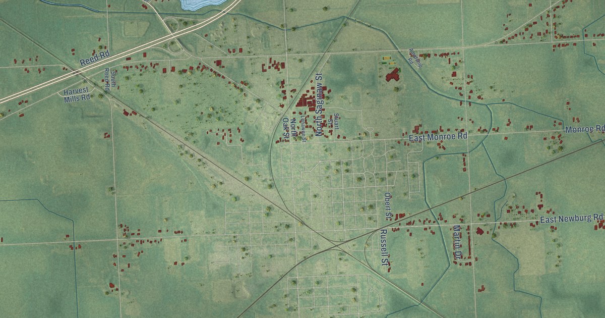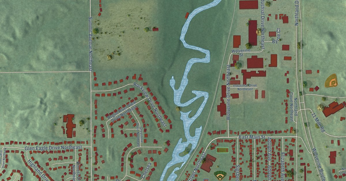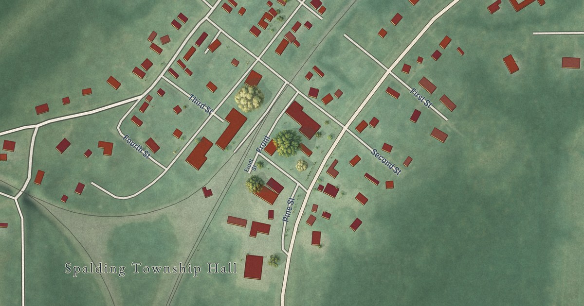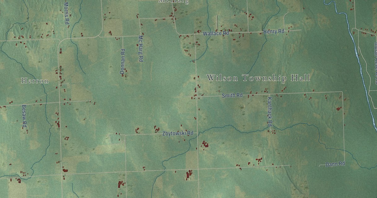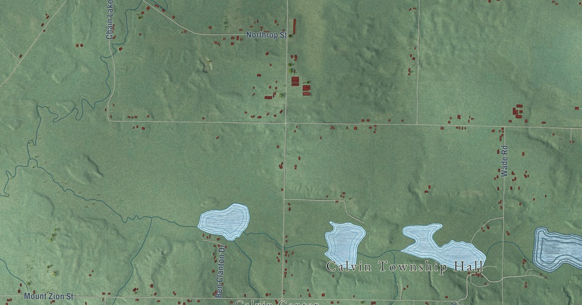
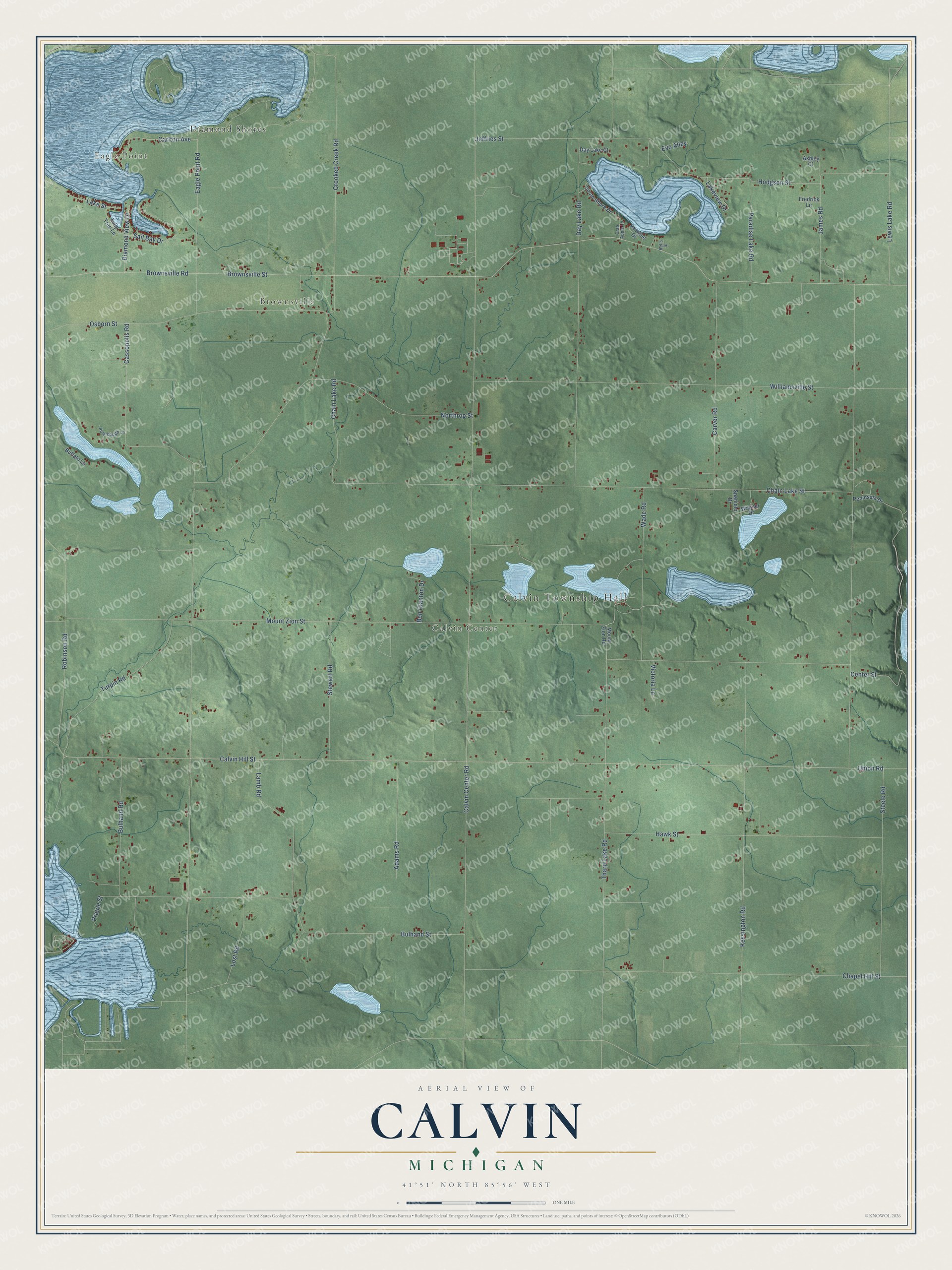
This beautifully detailed map of Calvin, Michigan was created in 2026 using aerial imagery combined with modern topographical, census, street and landmark data. It's a modern aerial view of Calvin in Cass County, Michigan, that combines modern data with a vintage aesthetic. The roads feature printed names, and if you look closely you can find your exact house accurately shown in its correct location.
Explore an aerial view of Calvin, Michigan
On this map you'll find Calvin Township Hall, Eagle Point, Brownsville, Calvin Center, Diamond Shores, Calvin Hill Street, Sail Bay Drive, Carlton Avenue, Brownsville Road, Brownsville Street, Calvin Center Road, Mount Zion Street, and more. Each red shape is a building, so zoom in on the preview and look for yours.
Every town has a first chapter, and Calvin is no exception. The Twentieth Century History of Cass County puts it this way: "Josiah Osborn, a son of the abolitionist, settled on Section 24 of Calvin township in 1835."
The Census Bureau counted 1,993 people here in 2020.
Take a closer look at the Calvin map
Names on this map
These names are printed on this map.
Places: Calvin Township Hall, Eagle Point, Brownsville, Calvin Center and Diamond Shores.
Streets and roads: Calvin Hill Street, Sail Bay Drive, Carlton Avenue, Brownsville Road, Brownsville Street, Calvin Center Road, Mount Zion Street, Cassopolis Road, Chain Lake Street, Union Road, Crooked Creek Road, Chapel Hill Street.
More street names, A to Z
Adams Road, Arnwine Drive, Ashley Court, Bells Street, Ben Clanton Drive, Buffalo Lane, Bulhand Road, Bulhand Street, Carver Road, Center Street, Chain Lake Road, Crab Apple Lane, Day Lake Court, Day Lake Road, Diamond View Drive, Eagle Point Road, Evo Alley, Fredrick Lane, Hawk Street, Hodgson Street, James Road, Jeffries Street, Kessington Road, Lake Street, Lakeview Drive, Lamb Road, Lewis Lake Road, Lost Road, Mount Zion Road, Northrop Street, Osborn Street, Paradise Lake Road, Peninsula Drive, Prairie Street, Puterbaugh Lane, Robinson Road, South Shore Drive, Spaniolo Drive, Steele Road, Stewart Road, Tharp Lake Road, Tulip Tree Lane, Turpin Road, Victoria Lane, Wade Road, Wagner Drive, Williamsville Street.
Created by KNOWOL in 2026. The buildings are small red shapes, the roads carry their printed names, and shaded relief shows the shape of the land. The title panel reads "AERIAL VIEW OF CALVIN, MICHIGAN" with 41°51' NORTH 85°56' WEST.
Hang it in the hallway, the office or the cabin, or give it to someone who left Calvin and still calls it home. Open the preview and look for a street you know. See sizes and frames for the Calvin map.