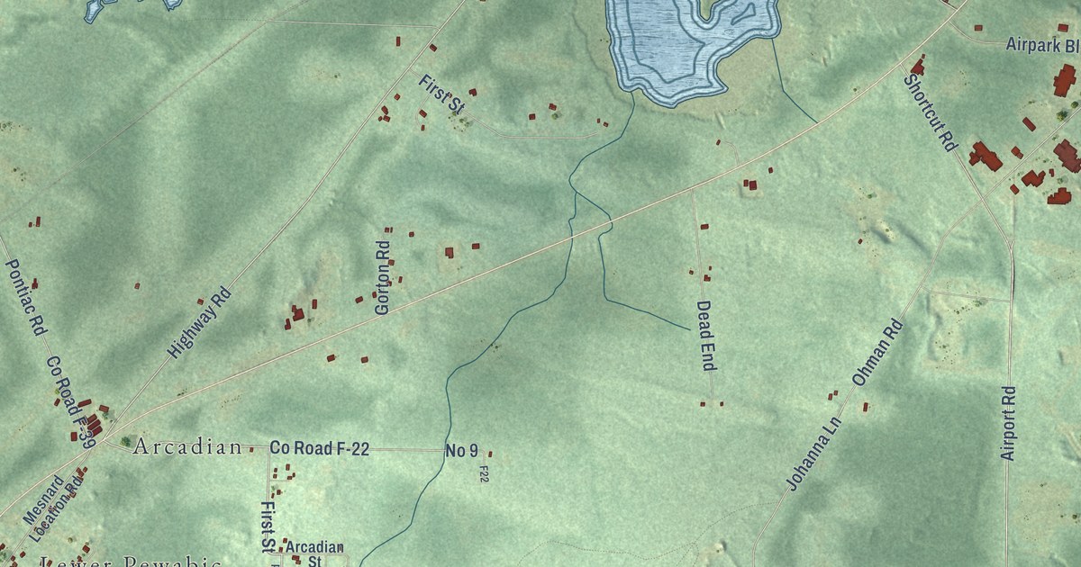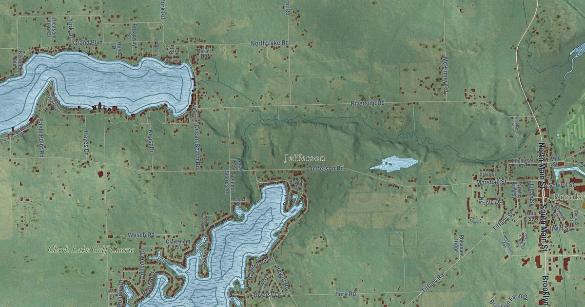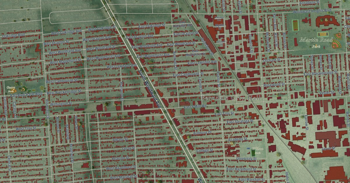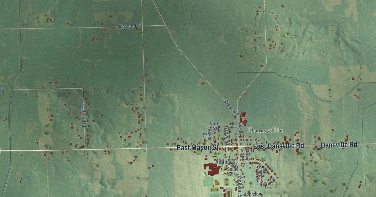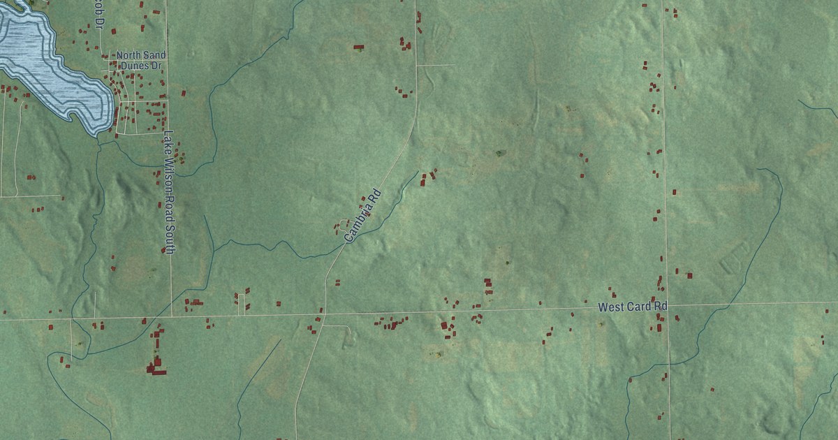
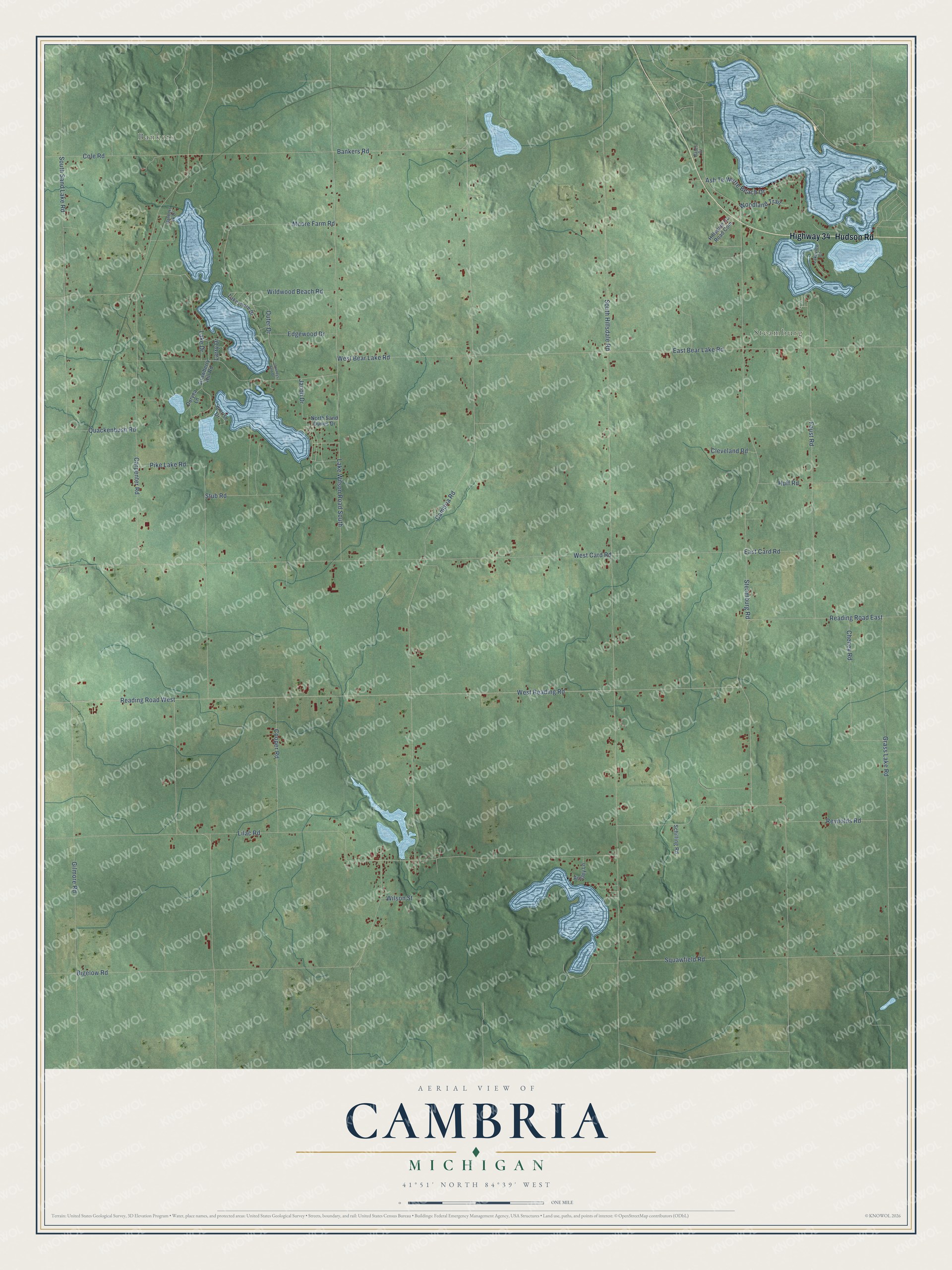
This beautifully detailed map of Cambria, Michigan was created in 2026 using aerial imagery combined with modern topographical, census, street and landmark data. It's a modern aerial view of Cambria in Hillsdale County, Michigan, that combines modern data with a vintage aesthetic. The roads feature printed names, and if you look closely you can find your exact house accurately shown in its correct location.
Explore an aerial view of Cambria, Michigan
On this map you'll find Bankers, Steamburg, Hudson Road, Highway 34, Bankers Road, Reading Road East, Cambria Road, South Hillsdale Road, Steamburg Road, Carpenter Road, Lilac Road, Reading Road West, and more. Each red shape is a building, so zoom in on the preview and look for yours.
Here is a piece of Cambria history, in the words of the record. The History and Biography of Hillsdale County puts it this way: "The village of Cambria Mills was platted in 1878, receiving the name from the early locator, John McDermid, who commenced a sawmill in 1835. His brother, Andrew J. McDermid, came shortly afterwards and here erected a gristmill."
The Census Bureau counted 2,552 people here in 2020.
Take a closer look at the Cambria map
Names on this map
These names are printed on this map.
Places: Bankers and Steamburg.
Streets and roads: Hudson Road, Highway 34, Bankers Road, Reading Road East, Cambria Road, South Hillsdale Road, Steamburg Road, Carpenter Road, Lilac Road, Reading Road West, West Reading Road, West Card Road.
More street names, A to Z
Ansley Lane, Ash Te Wette Beach Drive, Bankers Lk Drive, Bates Drive, Bigelow Road, Cheney Road, Cleveland Road, Cole Road, Cooper Road, Duryea Lane, East Bear Lake Road, East Card Road, Edgewood Drive, Foust Road, Gilmore Road, Grass Lake Road, Hillsdale County Road Com, Huff Road, Jacob Drive, Journeys End Drive, Lake Drive, Lakeshore Drive, Lakeview Court, Lake Wilson Road South, Larry Drive, Moore Farm Road, North Sand Dunes Drive, Outer Drive, Pike Lake Road, Quackenbush Road, Reynolds Road, Schilling Road, South Sand Lake Road, Strawberry Hill Road, Stub Road, Sunrise Drive, West Bear Lake Road, Wildwood Beach Road, Wilson Street, Woodland Trail.
Created by KNOWOL in 2026. The buildings are small red shapes, the roads carry their printed names, and shaded relief shows the shape of the land. The title panel reads "AERIAL VIEW OF CAMBRIA, MICHIGAN" with 41°51' NORTH 84°39' WEST.
It suits a den, a classroom or a front hall, and it makes a gift for anyone with Cambria roots. Open the preview and find the block you know. See sizes and frames for the Cambria map.