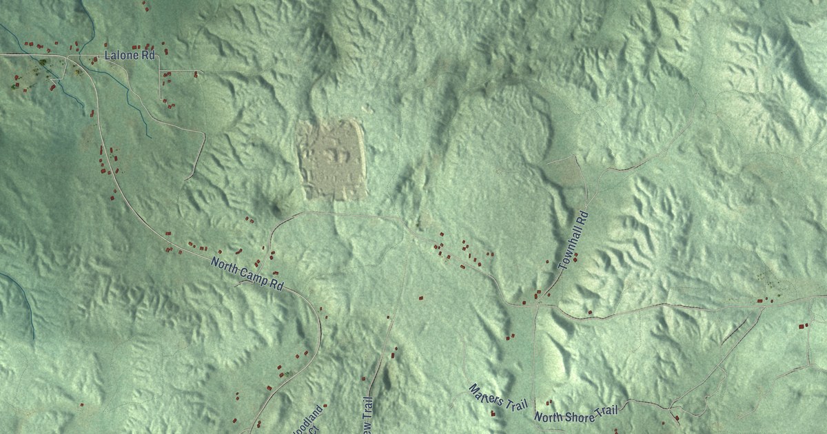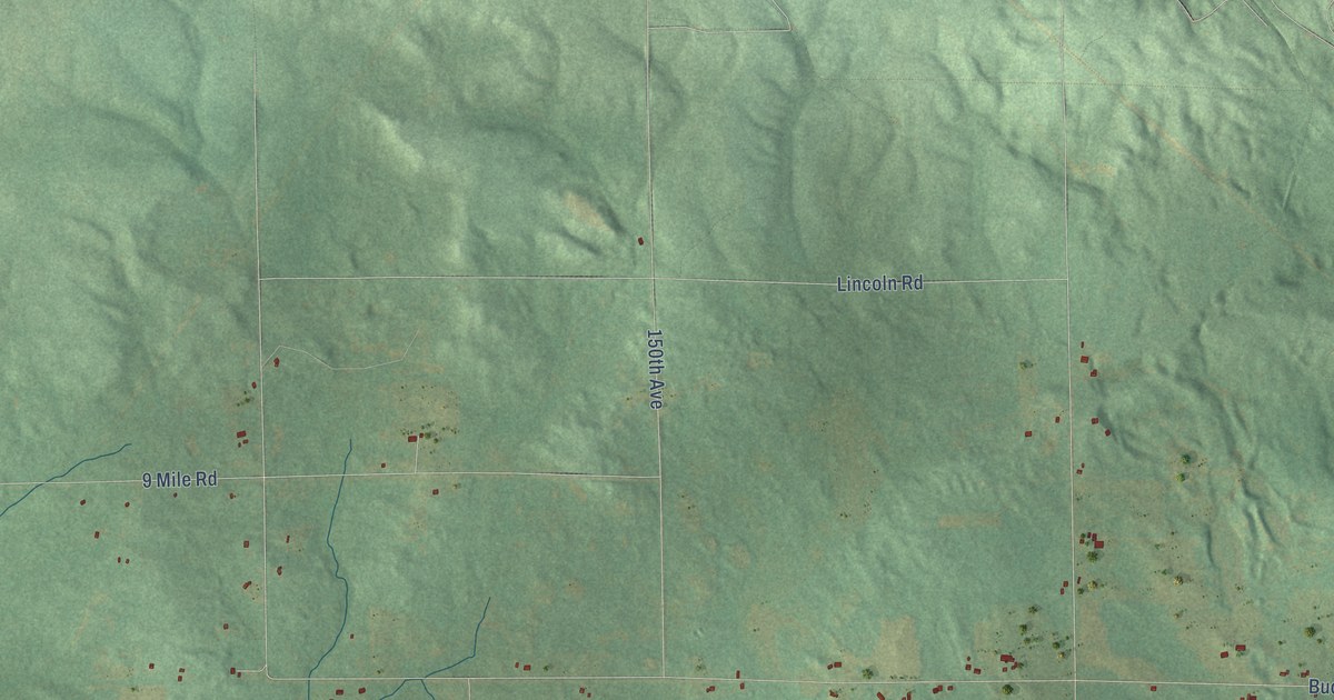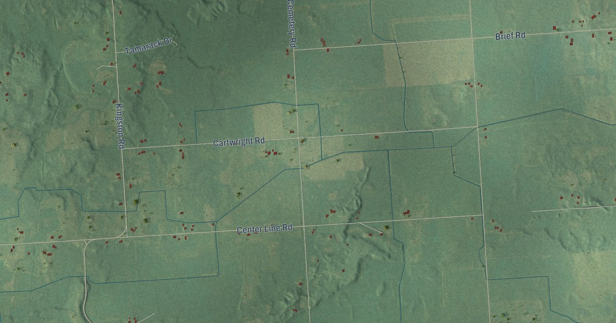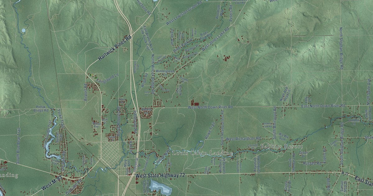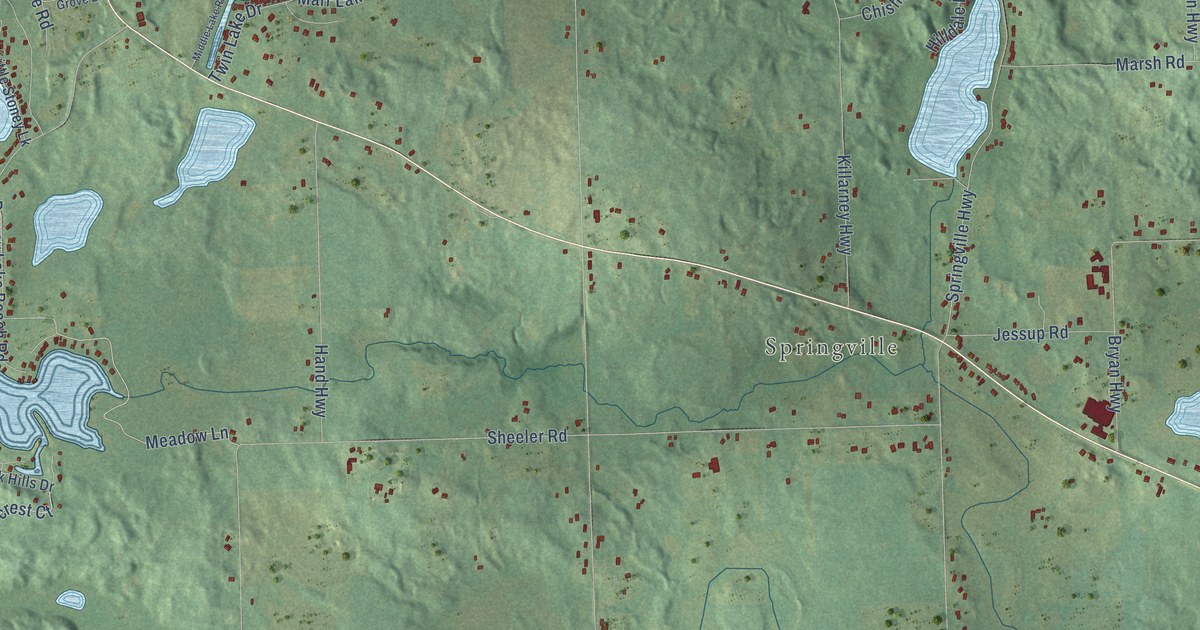
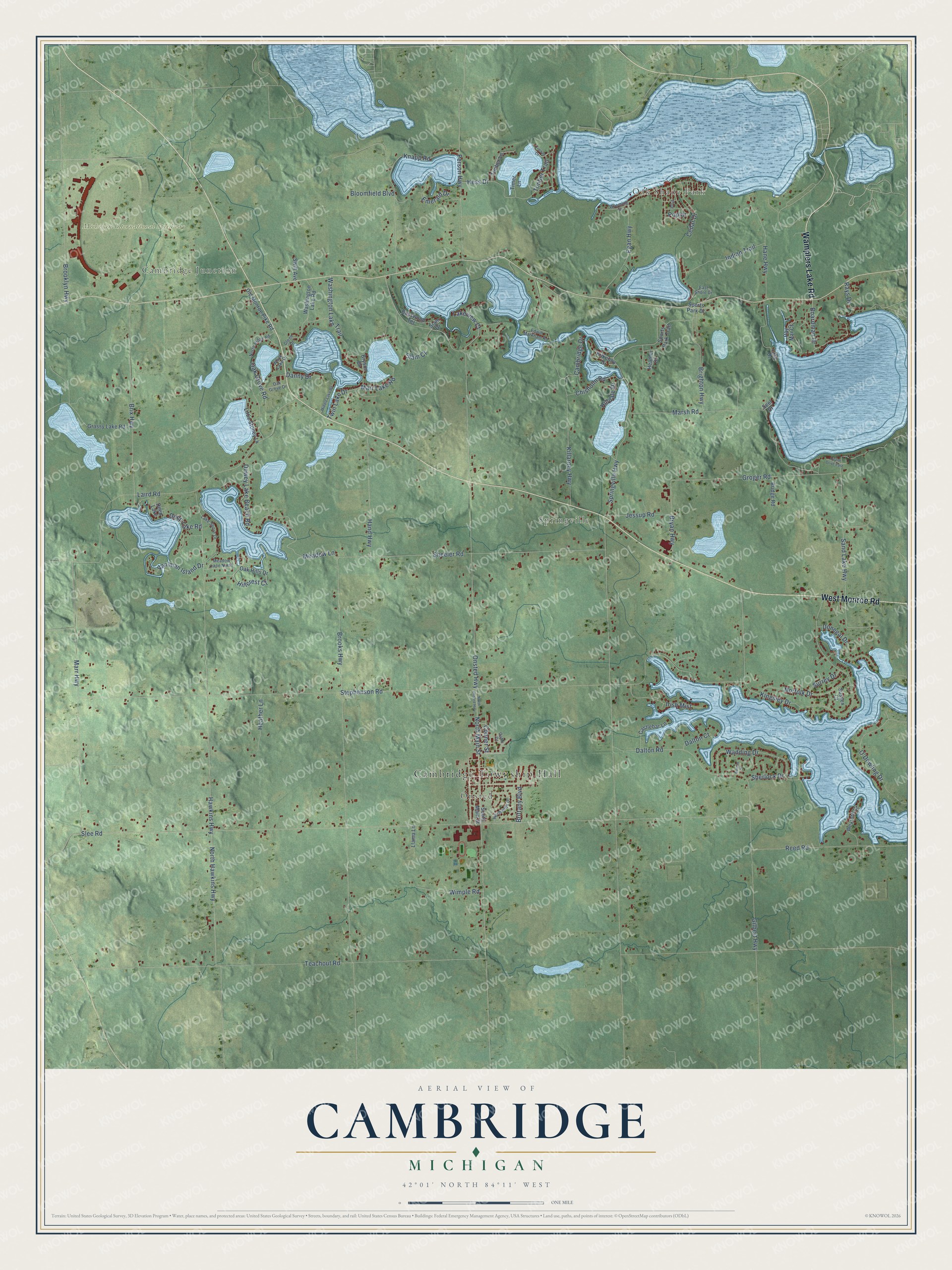
This beautifully detailed map of Cambridge, Michigan was created in 2026 using aerial imagery combined with modern topographical, census, street and landmark data. It's a modern aerial view of Cambridge in Lenawee County, Michigan, that combines modern data with a vintage aesthetic. The roads feature printed names, and if you look closely you can find your exact house accurately shown in its correct location.
Explore an aerial view of Cambridge, Michigan
On this map you'll find Cambridge Township Hall, Oak Shade Park, Cambridge Junction, Onsted, Springville, Michigan International Speedway, Wamplers Lake Road, West Monroe Road, North Main Street, Onsted Highway, Boardman Drive, Meadow Lane, and more. Each red shape is a building, so zoom in on the preview and look for yours.
Cambridge has a story worth telling. The Michigan History Center puts it this way: "Walker Tavern was listed on the National Register of Historic Places in 1971."
The Census Bureau counted 5,722 people here in 2020.
Take a closer look at the Cambridge map
Names on this map
These names are printed on this map.
Places: Cambridge Township Hall, Oak Shade Park, Cambridge Junction, Onsted, Springville, Michigan International Speedway and Deep Lake.
Streets and roads: Wamplers Lake Road, West Monroe Road, North Main Street, Onsted Highway, Boardman Drive, Meadow Lane, Hillcrest Court, Stephenson Road, Springville Highway, Teachout Road, Slee Road, Hawkins Highway.
More street names, A to Z
Barron Court, Basswood Terrace, Bloomfield Boulevard, Bridge Road, Brighton Highway, Brittany Boulevard, Brix Highway, Brooklyn Highway, Brooks Highway, Bryan Highway, Bryson Drive, Cambridge Drive, Castlebar Lane, Cedar Drive, Chisholm Road, Conner Street, Dalton Court, Dalton Road, Danny Drive, Deep Lake Road, Dewey Lake Beach Road, Donegal Drive, East Shore Drive, Edwin Markham Road, Egan Highway, Emerald Drive, Gilbert Highway, Glenn Drive, Grassy Lake Road, Groger Road, Hand Highway, Hane Highway, Heather Drive, Heather Lane, Hess Drive, Hilldale Drive, Indian Trail, Irish Mist, Jessup Road, Kilkenny Drive, Killarney Highway, Kingsley Drive, Knapp Road, Laird Road, Lake Drive, Lake Shore Drive, Lakeview Court, Little Stoney Lk, Llama Lane, Lyster Drive East, Marr Highway, Marr Lake Road, Marsh Road, Meadow Lane North, Middle Lake Road, Norfolk Drive, Normandy Drive, North Hawkins Highway, North Onsted Highway, North Ridge Road, O'Dowling Drive, Oak Grove Drive, Oak Grove Road, Oak Hills Drive, Oatie Drive, Old Monroe Pike Road, Person Highway, Pine, Poplar, Ray Mar Court, Rays Drive, Reed Road, Sand Lake Highway, Seel Drive, Sheeler Road, Sherlock Drive, Siam Court, Siam Drive, South Main Street, Sports Park Drive, Sports Park Trail, Surrey Drive, Sussex Court, Swift Avenue, Timber Court, Timber Lane, Timber Trail, Timer Lane, Twin Lake Drive, Vaniman Island Drive, Wadding Drive, Washington Lake Road, Washington Lake Trail, Wexford Court, White Lake Drive, Wimple Road, Wyoming Street.
Created by KNOWOL in 2026. The buildings are small red shapes, the roads carry their printed names, and shaded relief shows the shape of the land. The title panel reads "AERIAL VIEW OF CAMBRIDGE, MICHIGAN" with 42°01' NORTH 84°11' WEST.
It looks right in a kitchen, an office or a den, and it's a gift for anyone who grew up in Cambridge or moved away. Open the preview and find your street. See sizes and frames for the Cambridge map.