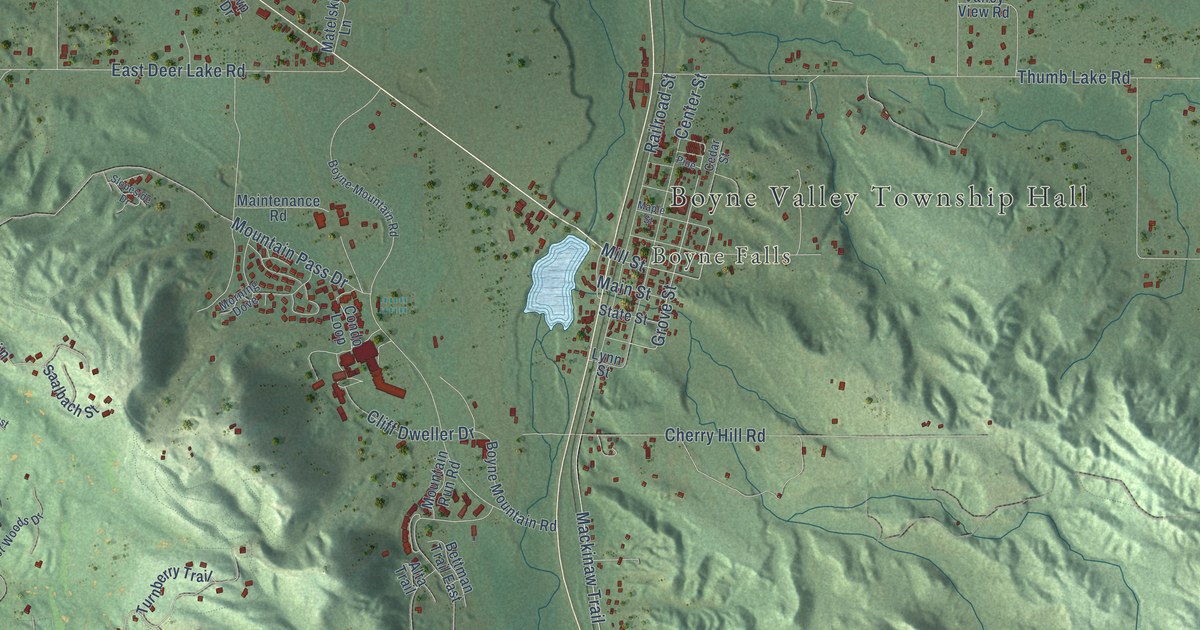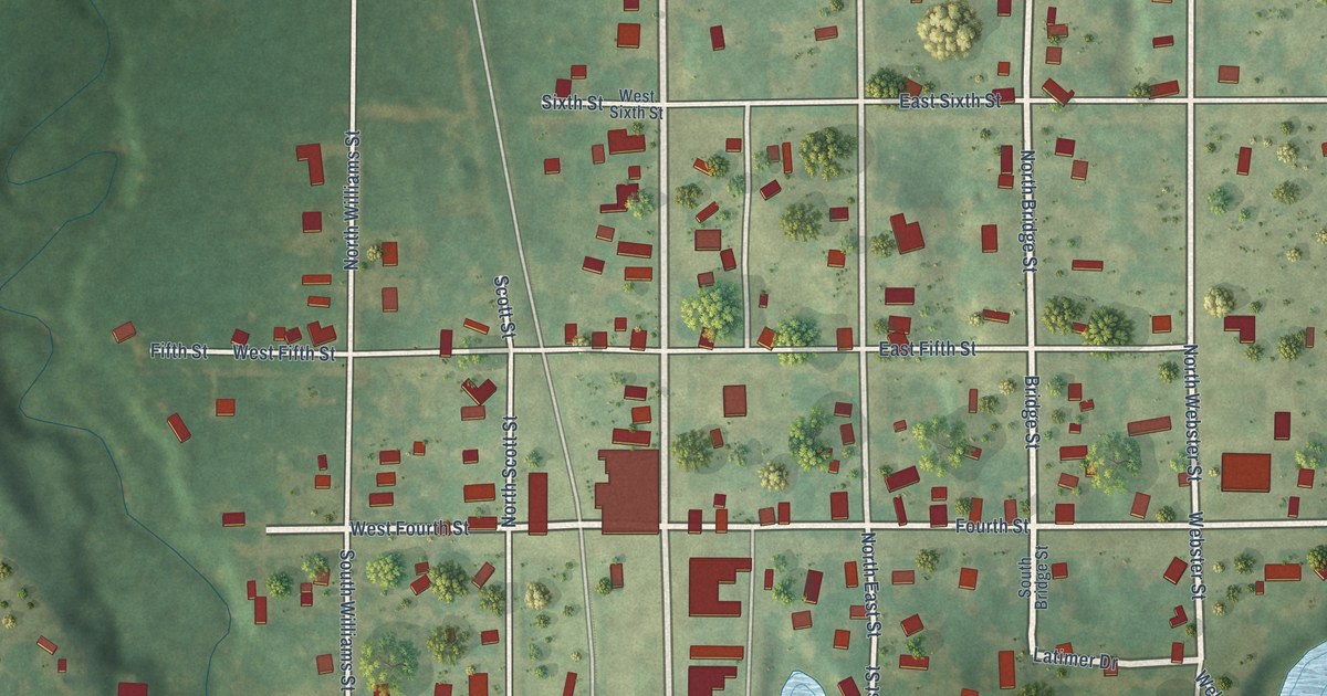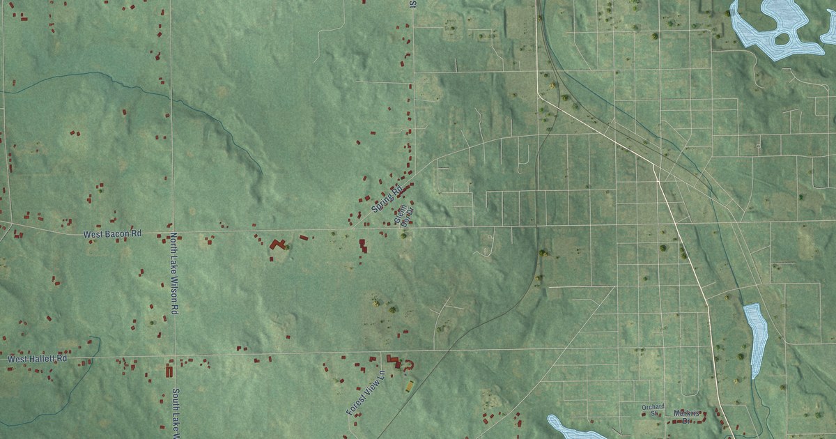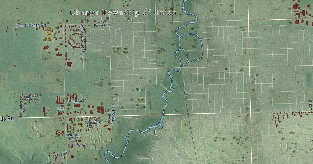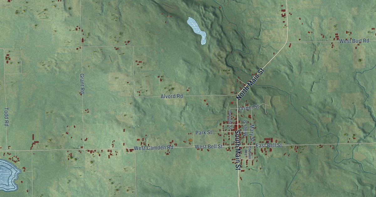
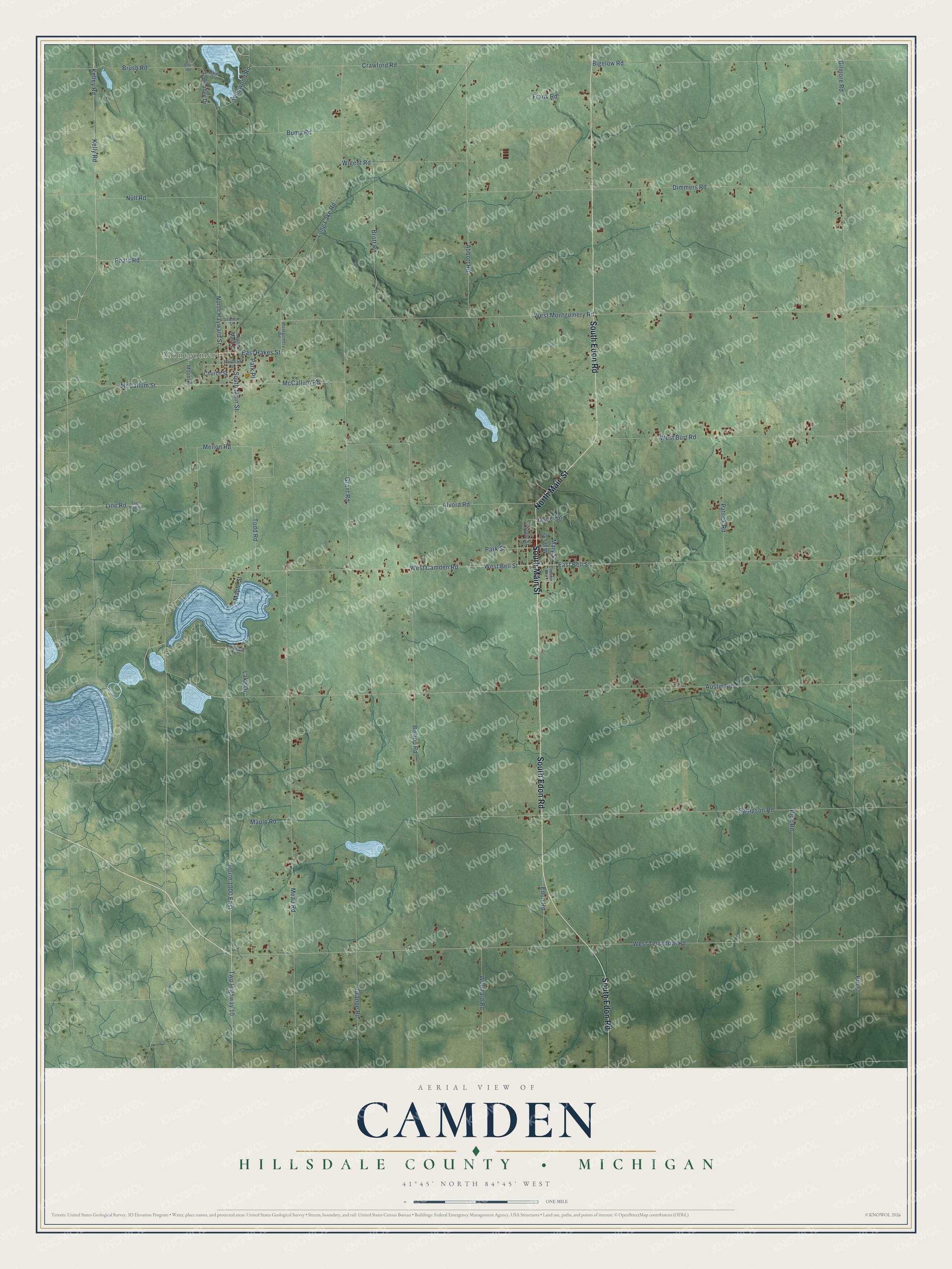
This beautifully detailed map of Camden, Michigan was created in 2026 using aerial imagery combined with modern topographical, census, street and landmark data. It's a modern aerial view of Camden in Hillsdale County, Michigan, that combines modern data with a vintage aesthetic. The roads feature printed names, and if you look closely you can find your exact house accurately shown in its correct location.
Explore an aerial view of Camden, Michigan
On this map you'll find Montgomery, South Edon Road, South Main Street, North Main Street, West Camden Road, Twp Highway 10, North 1000 East, East Bell Street, North Hayward Street, McCallum Street, Gilmore Road, West Territorial Road, and more. Each red shape is a building, so zoom in on the preview and look for yours.
Camden has a story worth telling. The Hillsdale County History puts it this way: "With the exception of the store built and kept by Nelson Palmer, in 1846, near his residence, this was the first store opened in Camden."
The Census Bureau counted 2,070 people here in 2020.
Take a closer look at the Camden map
Names on this map
These names are printed on this map.
Places: Montgomery.
Streets and roads: South Edon Road, South Main Street, North Main Street, West Camden Road, Twp Highway 10, North 1000 East, East Bell Street, North Hayward Street, McCallum Street, Gilmore Road, West Territorial Road, Austin Road.
More street names, A to Z
Abbott Road, Alvord Road, Bigelow Road, Bishop Road, Brott Road, Brush Road, Bump Road, Chester Avenue, Church Street, Crawford Road, Dale Drive, Dimmers Road, Dwight Street, East Hakes Street, Edon Road, Frank Road, Grange Road, Grant Road, Highland Drive, Jasper Street, Kelley Road, Kelly Road, Lake Drive, Line Road, Long Lake Road, Maple Road, Maple Street, Mary Street, McCallum Road, Mead Road, Mellon Road, Miller Street, Montgomery Road, Moonlot, Null Road, Park Place, Park Street, Patrick Road, Poats Road, Priest, Railroad Street, Rice Road, Sampson Road, Section Street, Short Road, State Line Road, Todd Road, Topinabee Drive, West Bell Street, West Burt Road, West Montgomery Road, Wigent Road, Wildwood Road, Woodard Road.
Created by KNOWOL in 2026. The buildings are small red shapes, the roads carry their printed names, and shaded relief shows the shape of the land. The title panel reads "AERIAL VIEW OF CAMDEN, HILLSDALE COUNTY • MICHIGAN" with 41°45' NORTH 84°45' WEST.
It looks right in a kitchen, an office or a den, and it's a gift for anyone who grew up in Camden or moved away. Open the preview and find your street. See sizes and frames for the Camden, Hillsdale County map.