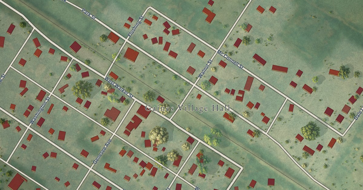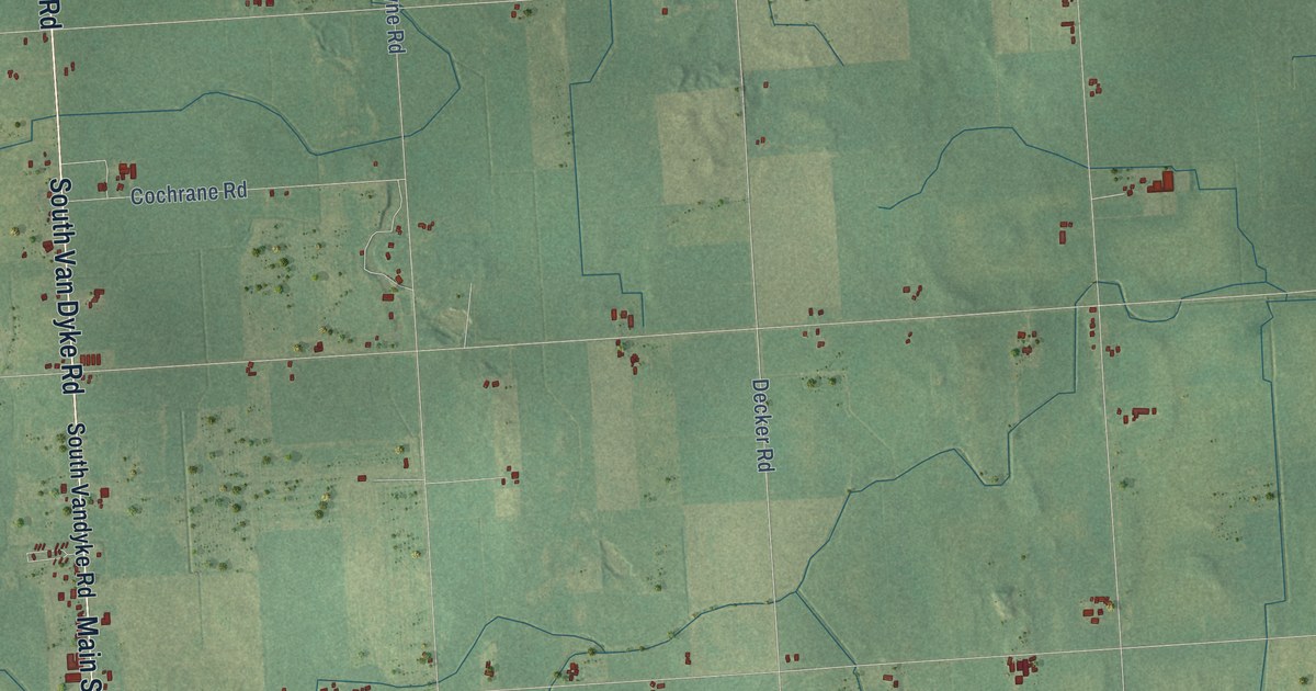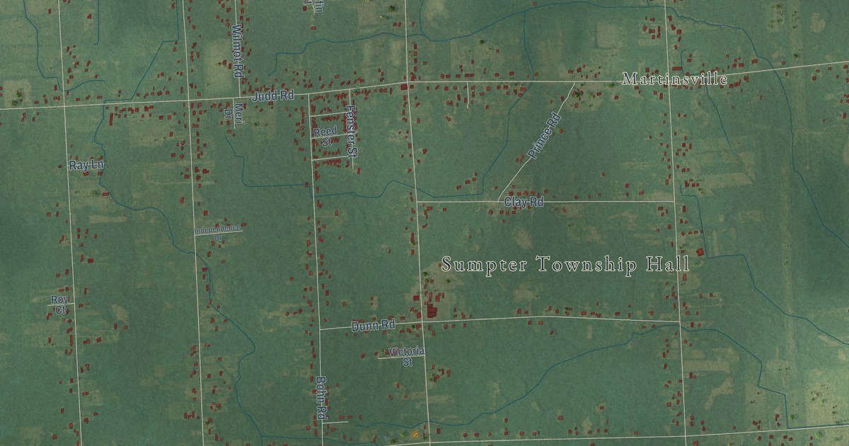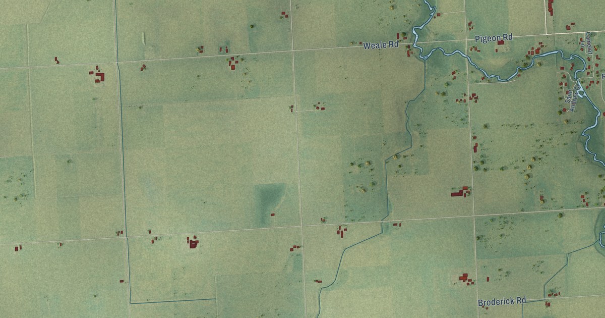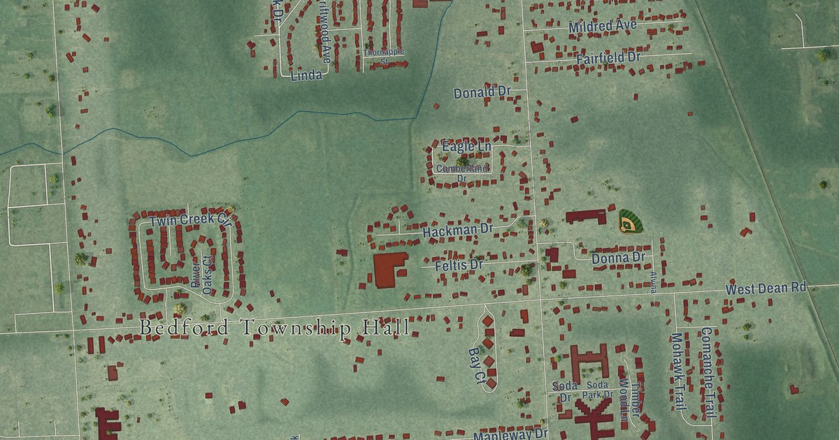
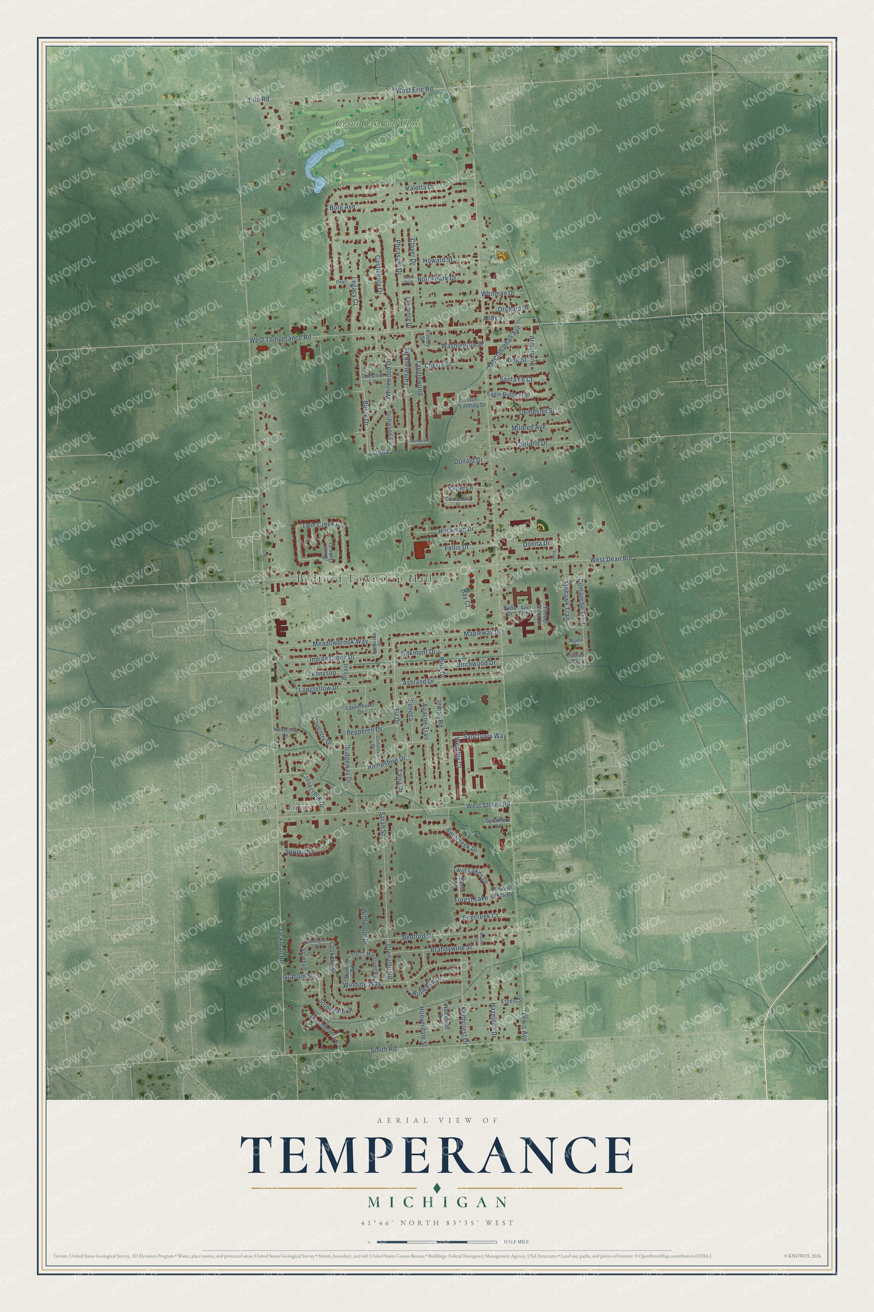
This beautifully detailed map of Temperance, Michigan was created in 2026 using aerial imagery combined with modern topographical, census, street and landmark data. It's a modern aerial view of Temperance in Monroe County, Michigan, that combines modern data with a vintage aesthetic. The roads feature printed names, and if you look closely you can find your exact house accurately shown in its correct location.
Explore an aerial view of Temperance, Michigan
On this map you'll find Bedford Township Hall, Carr Park, Liberty Corners, Giant Oak Golf Club, Buerk Drive, Linda, Seneca, West Erie Road, Jackman Road, Lewis Avenue, West Dean Road, West Temperance Road, and more. Each red shape is a building, so zoom in on the preview and look for yours.
Every town has a first chapter, and Temperance is no exception. The Michigan Railroads History puts it this way: "Temperance was settled about 1884 in Bedford Township in southern Monroe County."
Temperance is a community in Monroe County. The Census Bureau counted 9,188 people here in 2020.
Take a closer look at the Temperance map
Names on this map
These names are printed on this map.
Places: Bedford Township Hall, Carr Park, Liberty Corners, Giant Oak Golf Club, Forest Lake and North Park.
Streets and roads: Buerk Drive, Linda, Seneca, West Erie Road, Jackman Road, Lewis Avenue, West Dean Road, West Temperance Road, Valetta Drive, Smith Road, West Sterns Road, Twin Creek Circle.
More street names, A to Z
Alley 2, Alvina, Apache Trail, Armstrong, Ashland Drive, Bay Court, Beddington Drive, Bedford Drive, Bentcreek Drive, Birchwood Drive, Borg Avenue, Brandywine Street, Breckel Street, Bridgeway Drive, Bryant, Castlebury Drive, Cherry Street, Chestnut Lane, Clover Drive, Comanche Trail, Comstock Drive, Coventry Drive, Crosscreek Drive, Cumberland Drive, Dempster Street, Donald Drive, Donna Drive, Driftwood Avenue, Eagle Lane, Eagle Ridge Trail, Eastbrook Drive, Erie Road, Ernest Street, Fairfield Drive, Feltis Drive, Fir Drive, Firecreek Court, Graham Street, Granby Street, Greenbriar Lane, Grenville Road, Hackman Drive, Hampshire Drive, Hartland Road, Hazeldell Drive, Hidden Lakes Drive, Hooverdale Street, Howard Street, Huntcliffe Court, Indian Creek Drive, Indian Road, Ivor Lindsey Drive, Keithcrest Drive, King Street, Kinney Street, Laurelhurst Drive, Lawrence Drive, Legacy Court, Lockmill Street, Longfellow Drive, Mapleway Drive, McClanathan Avenue, Meadowbrook Way, Miami Court, Mildred Avenue, Mohawk Trail, Nanafield Drive, North Park Drive, Oakmont Drive, Orchard Street, Pawnee Trail, Pearl, Pepperell Drive, Pheasant Drive, Pine Drive, River Oaks Court, Rutland Road, Rutledge Drive, Sanctuary Way, Santa Fe Court, Sarah Street, Sierra Lane, Soda Drive, Soda Park Drive, Spruce Court, Stonegate Drive, Stratham, Sycamore Lane, Tamarack Road, Tanglewood, Tarra Drive, Tennyson, Thornapple Street, Timber Wood Lane, Twin Lakes Drive, Washington Street, Wembly Court, Whitewood Drive, Whitman Drive, Wildwood Drive, Winding Way.
Created by KNOWOL in 2026. The buildings are small red shapes, the roads carry their printed names, and shaded relief shows the shape of the land. The title panel reads "AERIAL VIEW OF TEMPERANCE, MICHIGAN" with 41°46' NORTH 83°35' WEST.
Hang it in the hallway, the office or the cabin, or give it to someone who left Temperance and still calls it home. Open the preview and look for a street you know. See sizes and frames for the Temperance map.