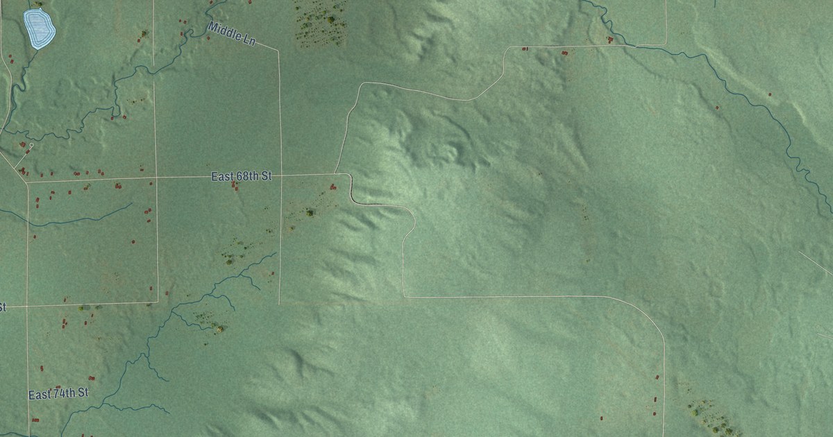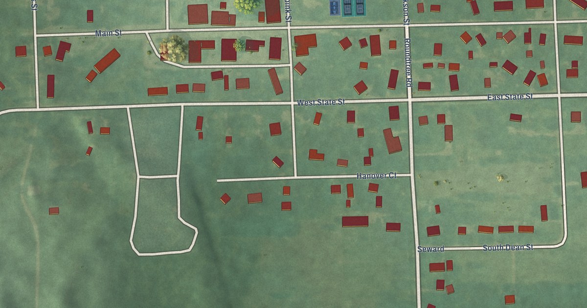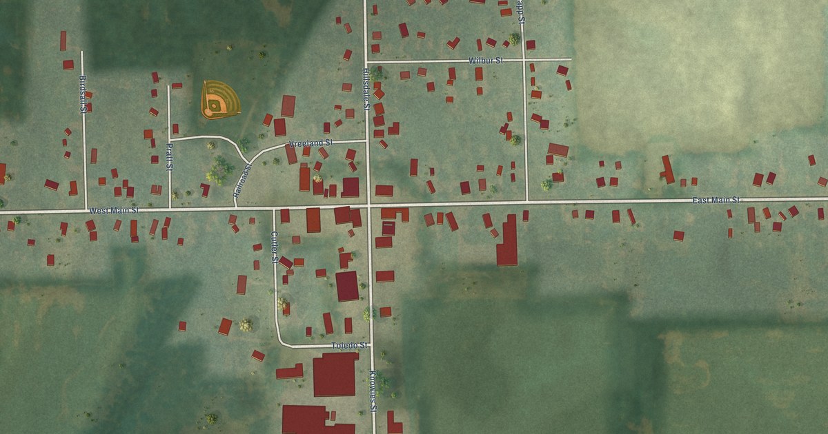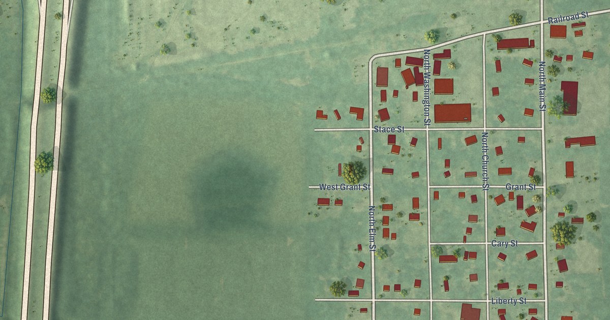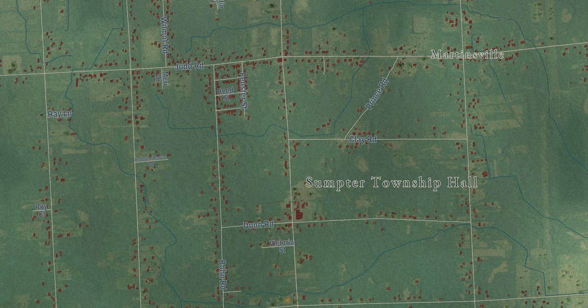
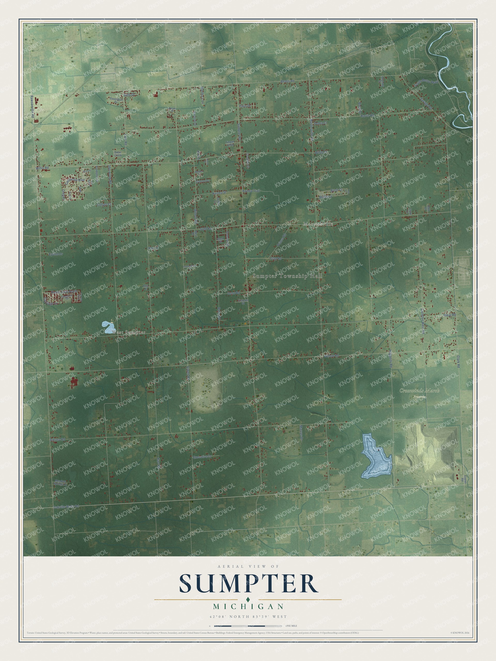
This beautifully detailed map of Sumpter, Michigan was created in 2026 using aerial imagery combined with modern topographical, census, street and landmark data. It's a modern aerial view of Sumpter in Wayne County, Michigan, that combines modern data with a vintage aesthetic. The roads feature printed names, and if you look closely you can find your exact house accurately shown in its correct location.
Explore an aerial view of Sumpter, Michigan
On this map you'll find Sumpter Township Hall, West Sumpter, Martinsville, Crosswinds Marsh Preserve, Oakville Waltz Road, Clark Road, California Boulevard, Carriage Lane, Bemis Road, Oregon, Birch Court, Willis Road, and more. Each red shape is a building, so zoom in on the preview and look for yours.
Sumpter has a story worth telling. The Sumpter Township puts it this way: "Prior to 1840 Sumpter was part of Huron Township, which included all of Huron, Van Buren, Romulus and, of course, Sumpter Township. The Township of Sumpter was finally officially formed on April 6, 1840."
The Census Bureau counted 9,660 people here in 2020.
Take a closer look at the Sumpter map
Names on this map
These names are printed on this map.
Places: Sumpter Township Hall, West Sumpter, Martinsville and Crosswinds Marsh Preserve.
Streets and roads: Oakville Waltz Road, Clark Road, California Boulevard, Carriage Lane, Bemis Road, Oregon, Birch Court, Willis Road, Sumpter Road, Rawsonville Road, Elwell Road, Martinsville Road.
More street names, A to Z
Arizona, Arkona Road, Bohn Road, Boyd Drive, Carleton West Road, Clark Lane, Claxton Drive, Clay Road, Collyer Court, Crandell Court, Dale Drive, Davenport Drive, Debra Court, Dunn Road, Edgewood Drive, Executive Drive, Exeter Road, Eyvind Drive, Fenster Street, First Street, Griffin Court, Haggerty Road, Harris Road, Independence Drive, Judd Road, Karr Road, Kozma Street, Kozma Trail, Lohr Road, Marcus Drive, Martha's Lane, Meadow Springs Lane, Meri Drive, Mulberry, New Mexico, Odyssey Drive, Paris Drive, Pecan Street, Pendolton Drive, Prince Road, Ray Lane, Reed Street, Roy Court, Rustic Lane East, Rustic Lane North, Savage Road, Sharon Court, Sherwood Road, South Metro Parkway, Sully Drive, Swan Creek, Tinpan Alley, Tulip Lane, Utah, Victoria Street, Virginia, Wear Road, Weimer Drive, Westcott Drive, Willis Court, Willow Road, Wilmot Road.
Created by KNOWOL in 2026. The buildings are small red shapes, the roads carry their printed names, and shaded relief shows the shape of the land. The title panel reads "AERIAL VIEW OF SUMPTER, MICHIGAN" with 42°08' NORTH 83°29' WEST.
It looks right in a kitchen, an office or a den, and it's a gift for anyone who grew up in Sumpter or moved away. Open the preview and find your street. See sizes and frames for the Sumpter map.