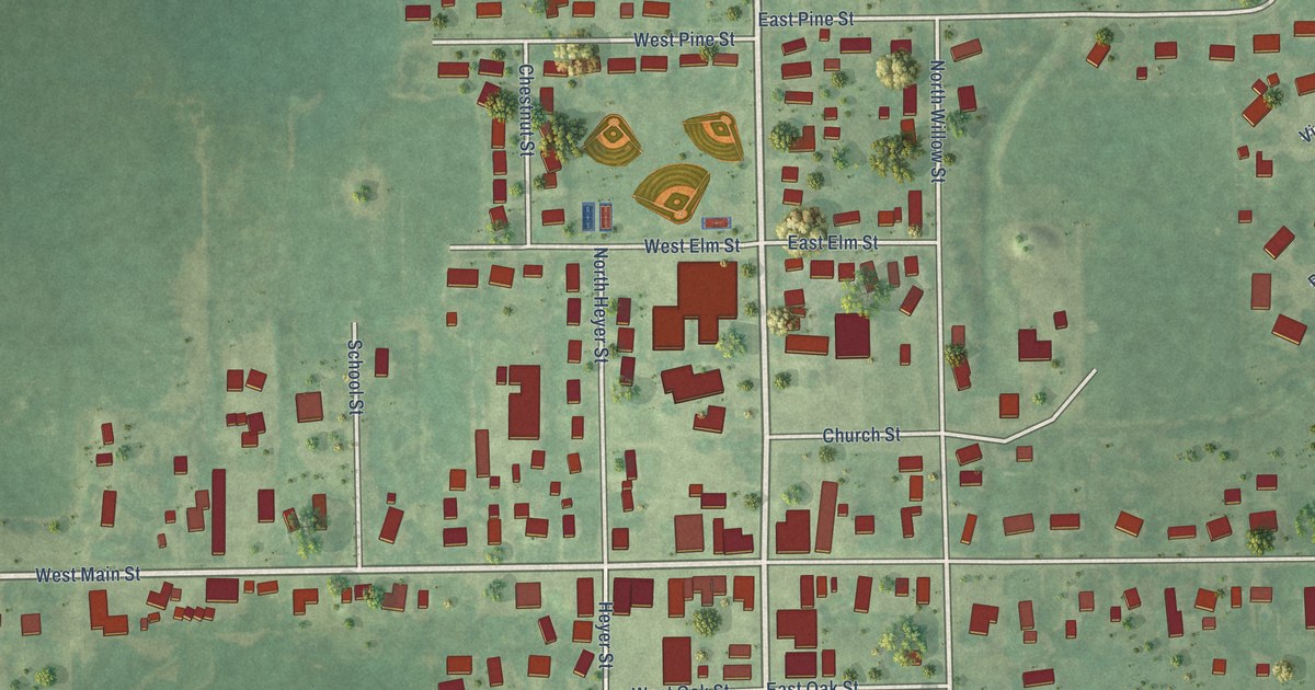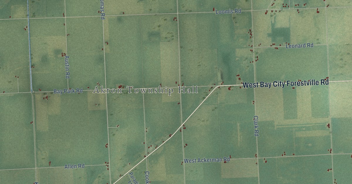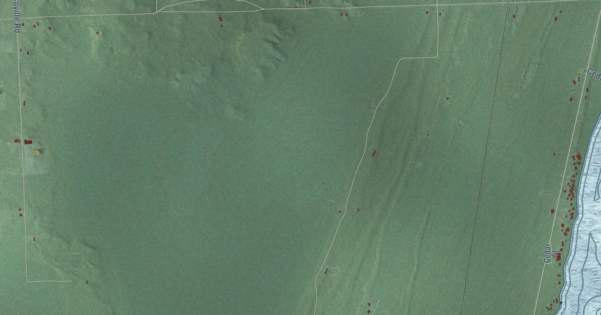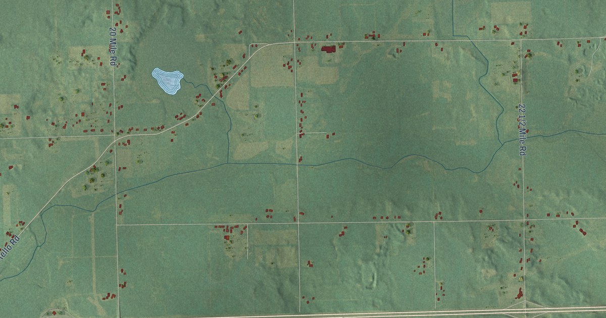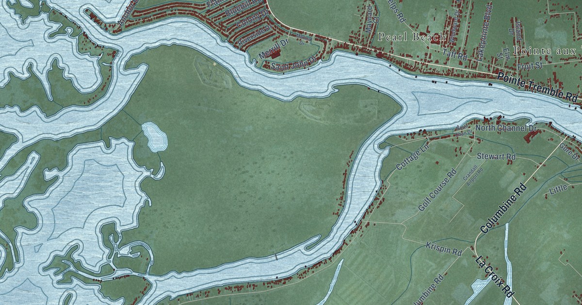
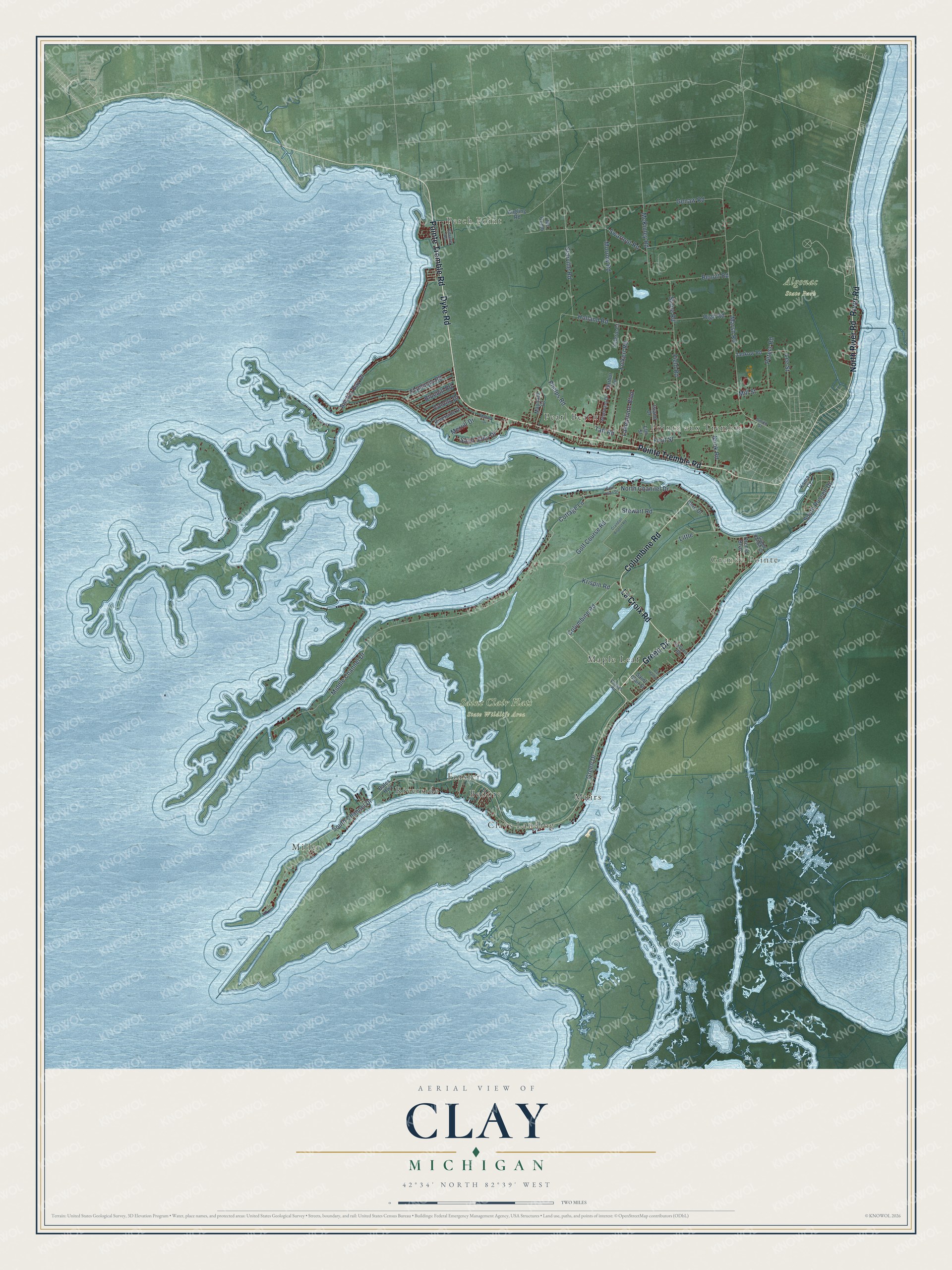
This beautifully detailed map of Clay, Michigan was created in 2026 using aerial imagery combined with modern topographical, census, street and landmark data. It's a modern aerial view of Clay in St. Clair County, Michigan, that combines modern data with a vintage aesthetic. The roads feature printed names, and if you look closely you can find your exact house accurately shown in its correct location.
Explore an aerial view of Clay, Michigan
On this map you'll find Perch Point, Grande Pointe, Algonac State Park, Saint Clair Flats State Wildlife Area, Bedore, Clays Landing, Forster, Maple Leaf, Miller, Muirs, Pearl Beach, Pointe aux Tremble, and more. Each red shape is a building, so zoom in on the preview and look for yours.
Clay has a story worth telling. The Michigan History Center puts it this way: "Aura Stewart was born in New York State in 1804 and moved to Harsens Island at age 12."
The Census Bureau counted 8,446 people here in 2020.
Take a closer look at the Clay map
Names on this map
These names are printed on this map.
Places: Perch Point, Grande Pointe, Algonac State Park, Saint Clair Flats State Wildlife Area, Bedore, Clays Landing, Forster, Maple Leaf, Miller, Muirs, Pearl Beach, Pointe aux Tremble and Riverside.
Streets and roads: Green Drive, La Croix Road, Dyke Road, Pointe Tremble Road, River Road, Columbine Road, North River Road, South Channel Drive, Phelps Road, Middle Channel Drive, Anchor Bay Drive, Swartout Road.
More street names, A to Z
Angling Road, Bar Harbor, Bates Highway, Benoit Road, Bluebill Road, Colony Drive, Cottage Lane, Crandall Airport Road, Edlane Road, Elm Street, Field Road, Flamingo Road, Folkert Road, Fruit Street, Genaw Road, Golf Course Road, Gore Drive, Grand Pointe Court, Harbor Lane, High Road, Holland Road, Island Drive, Jankow Road, Kama Court, Krispin Road, Lakepointe Boulevard, Lee Street, Little, Marina Drive, Marsh Road, Maynard Court, Mc Comb, McKinley Road, Merrill Drive, Mill Street, Morrow Road, Nook Road, North Chan Drive, North Channel Drive, Orchid Boulevard, Peters Road, Riverside Drive, Saint Clair Street, Saint John Drive, Smith Street, South Russell Drive, Starville Road, Stewart Road, Stone Road, Taft Road, Valerie Court, Voakes Road, Windward Drive.
Created by KNOWOL in 2026. The buildings are small red shapes, the roads carry their printed names, and shaded relief shows the shape of the land. The title panel reads "AERIAL VIEW OF CLAY, MICHIGAN" with 42°34' NORTH 82°39' WEST.
It looks right in a kitchen, an office or a den, and it's a gift for anyone who grew up in Clay or moved away. Open the preview and find your street. See sizes and frames for the Clay map.