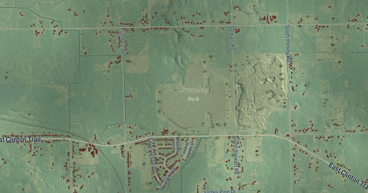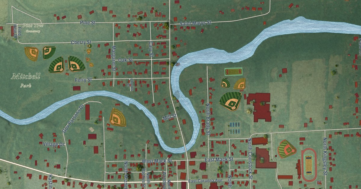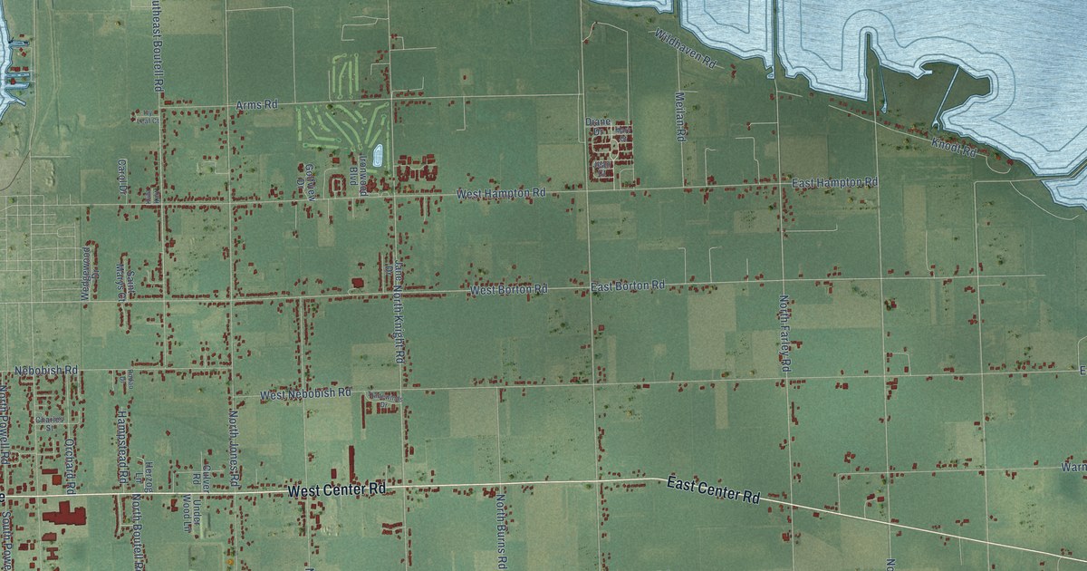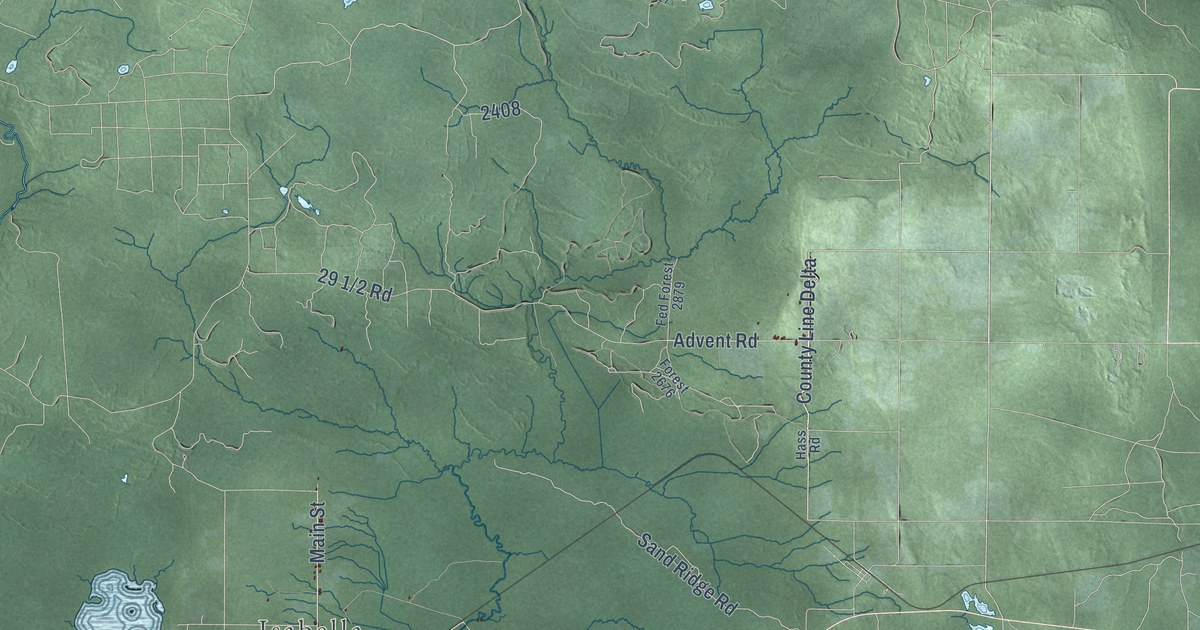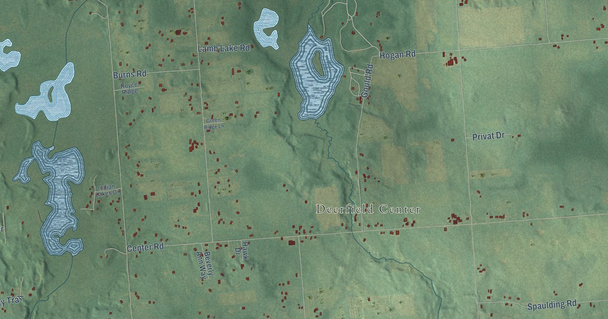
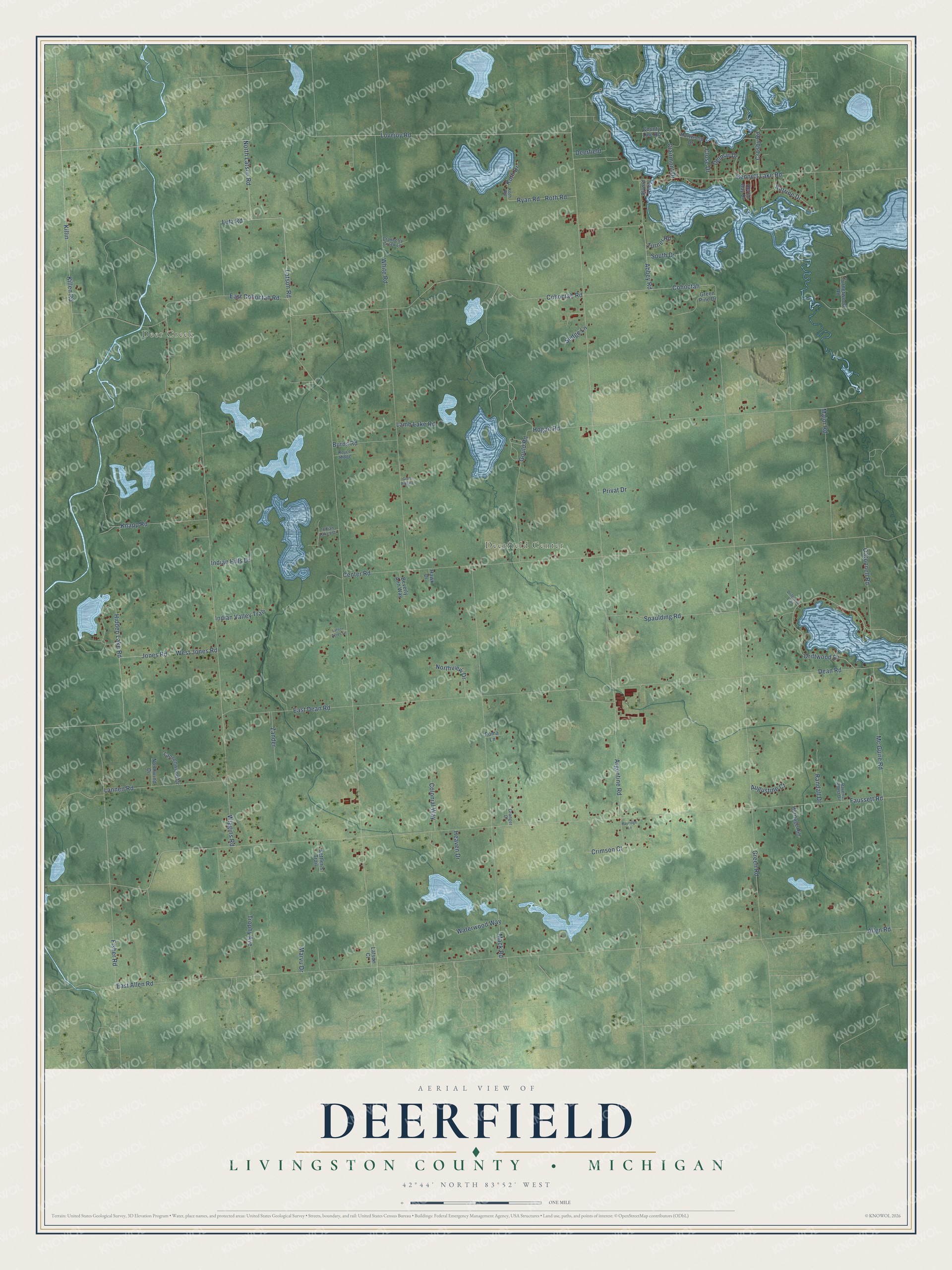
This beautifully detailed map of Deerfield, Michigan was created in 2026 using aerial imagery combined with modern topographical, census, street and landmark data. It's a modern aerial view of Deerfield in Livingston County, Michigan, that combines modern data with a vintage aesthetic. The roads feature printed names, and if you look closely you can find your exact house accurately shown in its correct location.
Explore an aerial view of Deerfield, Michigan
On this map you'll find Deer Creek, Deerfield Center, Bennett Lake Road, Abbey Road, Cohoctah, Driftwood Drive, East Cohoctah Road, Latson Road, Lovejoy Road, Killin, North Latson Road, Argentine Road, and more. Each red shape is a building, so zoom in on the preview and look for yours.
Deerfield has a story worth telling. The History of Livingston County puts it this way: "Two other towns of the northern tier received their first settlers in the same year (1834), viz., John How, Sr., in Deerfield, in June, and George Cornell in the southern part of Tyrone in November."
The Census Bureau counted 4,166 people here in 2020.
Take a closer look at the Deerfield map
Names on this map
These names are printed on this map.
Places: Deer Creek and Deerfield Center.
Streets and roads: Bennett Lake Road, Abbey Road, Cohoctah, Driftwood Drive, East Cohoctah Road, Latson Road, Lovejoy Road, Killin, North Latson Road, Argentine Road, Faussett Road, Green Road.
More street names, A to Z
Allen Road, Alvord Alley, Augustine Court, Beverly Ann Way, Burns Road, Center Road, Clairmont Drive, Close Drive, Cohoctah Road, Colonial Way, County Line Road, Cranberry Creek Lane, Crimson Court, Crosby Road, Dean Road, Deerfield, Delmar Drive, Driftwood Trail, East Allen Road, East Dean Road, Fisher Road, Gould Road, Granger Drive, Green Pine Drive, Green Ridge Lane, Hartwood Drive, Hawk Drive, Hayridge Lane, Heaven Drive, Heritage Hill, Heron Bay Drive, Hidden Lake Road, Hogan Road, Indian Hills Drive, Indian Lakes Drive, Indian Valley Trail, Jones Road, Katrine Drive, Killen Road, Knapp Road, Koth Drive, Koth Road, Lamb Lake Road, Lannen Road, Lannenwood Drive, Latson Acres Lane, Latson Court, Lutz Road, Mack Road, Major Road, Marvu Drive, Mc Guire Road, Northview Drive, Northwind Drive, O'Connell Road, Poma Lane, Privat Drive, Randall Drive, Ravens Roost Drive, Roth Road, Royce Ridge, Ryan Road, Sedge Lane, Settler's Trail, South Drive, Spaulding Road, Trophy Avenue, Turner Road, Turnerwood Road, Waterwood Way, West Jones Road, White Road, Wiggins Road, Zander.
Created by KNOWOL in 2026. The buildings are small red shapes, the roads carry their printed names, and shaded relief shows the shape of the land. The title panel reads "AERIAL VIEW OF DEERFIELD, LIVINGSTON COUNTY • MICHIGAN" with 42°44' NORTH 83°52' WEST.
It looks right in a kitchen, an office or a den, and it's a gift for anyone who grew up in Deerfield or moved away. Open the preview and find your street. See sizes and frames for the Deerfield, Livingston County map.