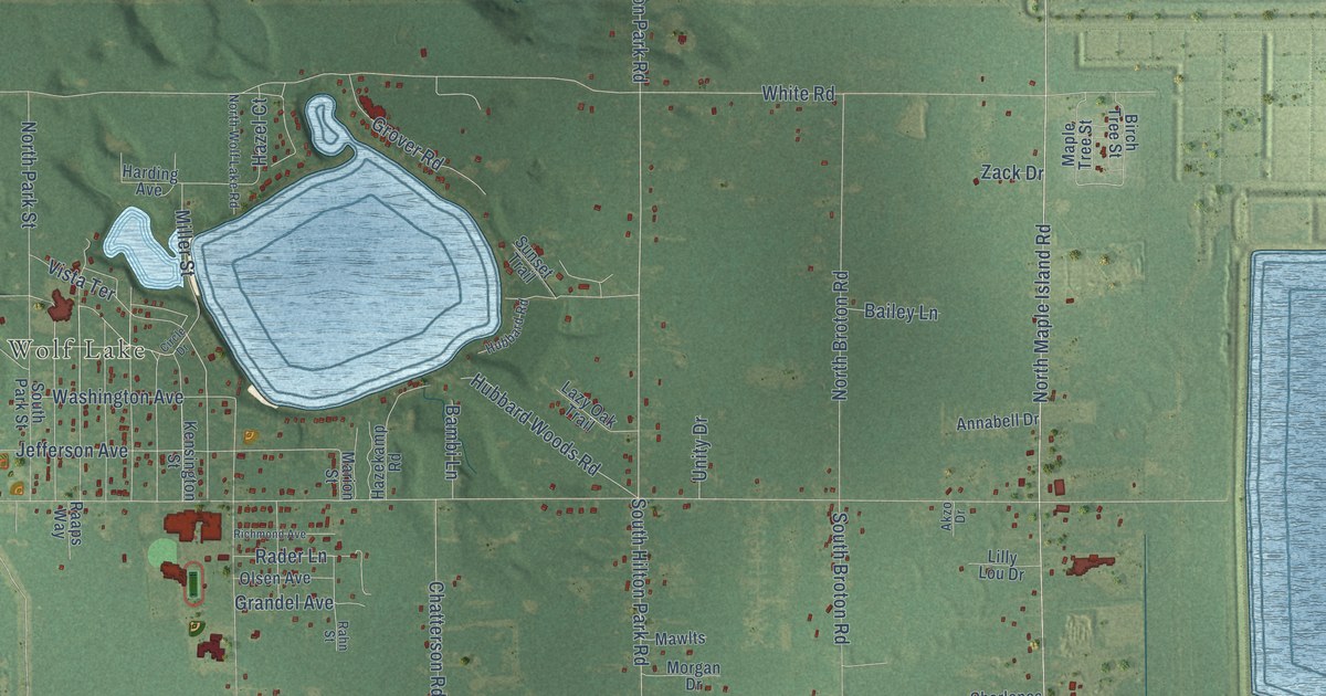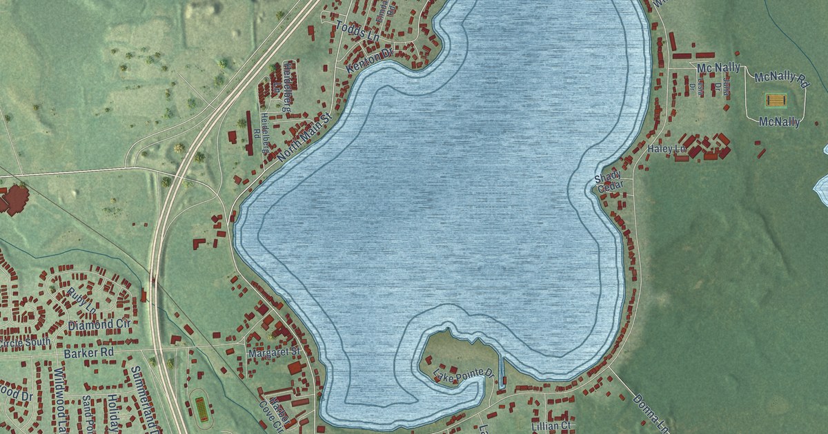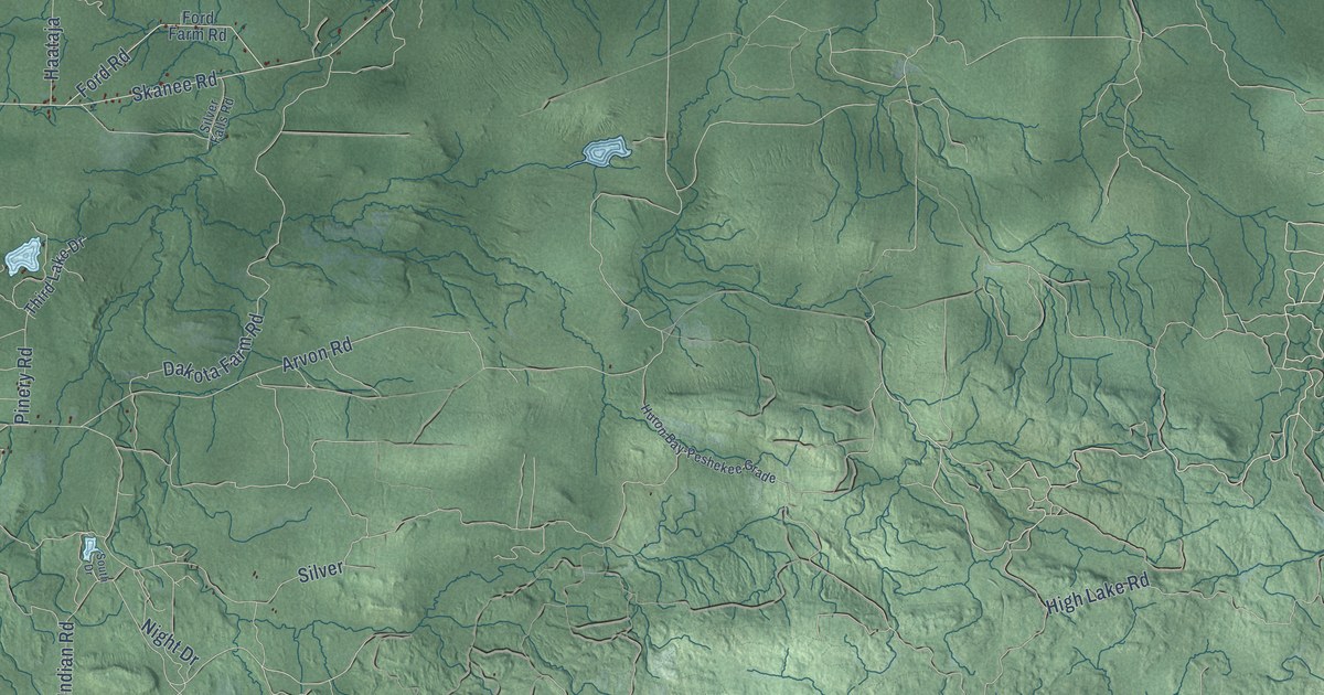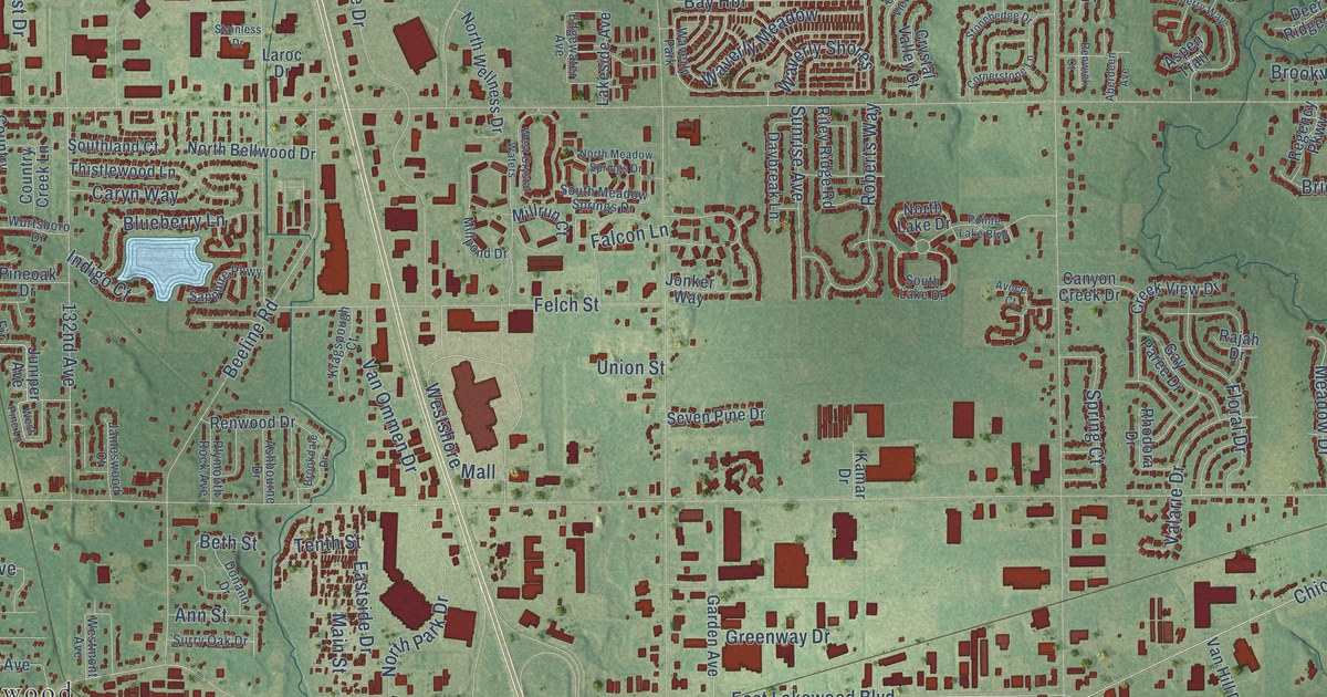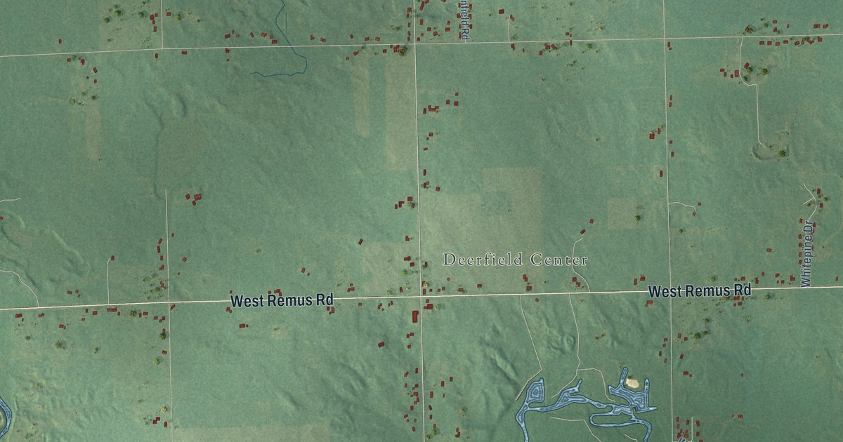
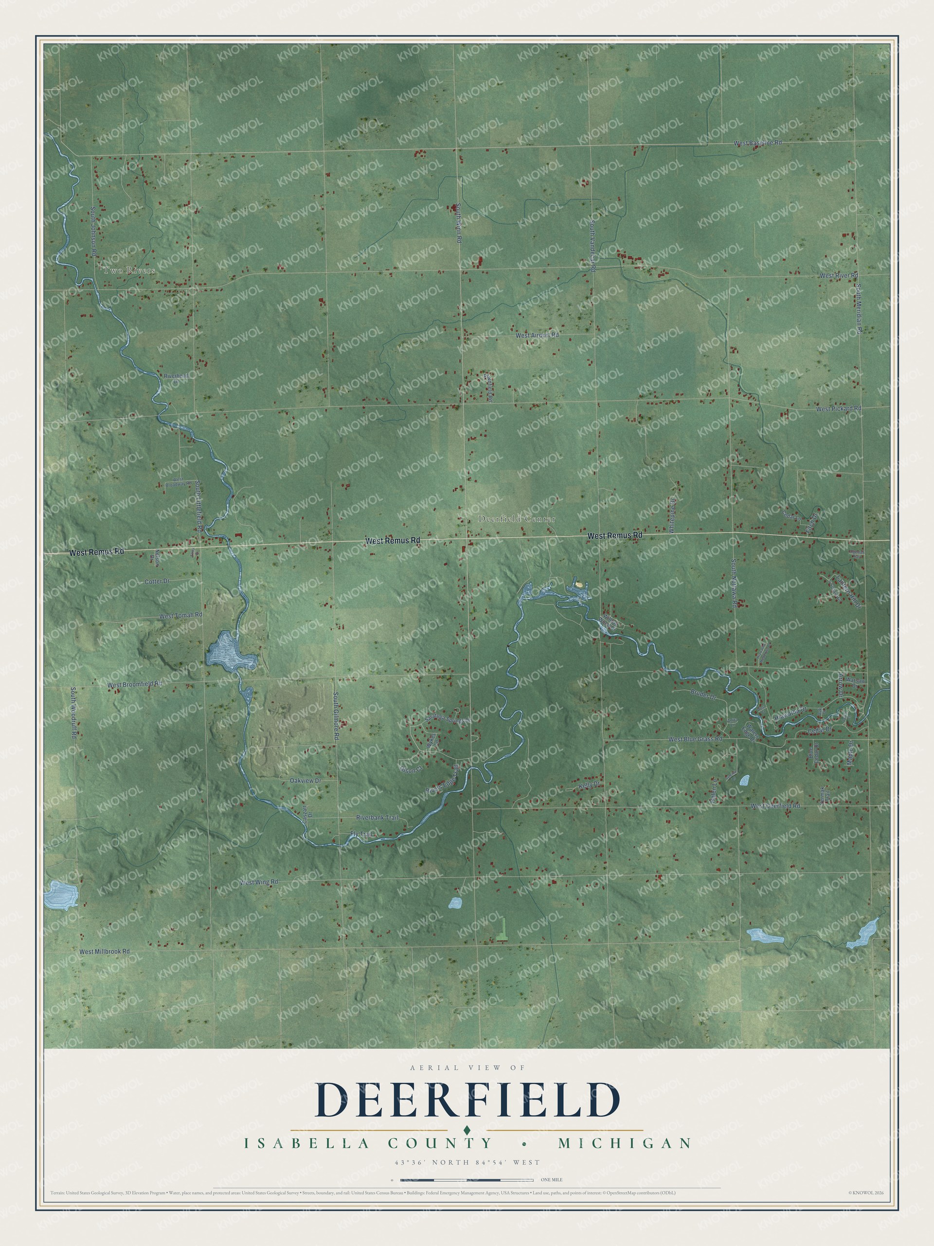
This beautifully detailed map of Deerfield, Michigan was created in 2026 using aerial imagery combined with modern topographical, census, street and landmark data. It's a modern aerial view of Deerfield in Isabella County, Michigan, that combines modern data with a vintage aesthetic. The roads feature printed names, and if you look closely you can find your exact house accurately shown in its correct location.
Explore an aerial view of Deerfield, Michigan
On this map you'll find Two Rivers, Deerfield Center, West Remus Road, West Baseline Road, South Winn Road, West River Road, South Vandecar Road, West Pickard Road, South Littlefield Road, South Meridian Road, South Gilmore Road, West Millbrook Road, and more. Each red shape is a building, so zoom in on the preview and look for yours.
Every town has a first chapter, and Deerfield is no exception. The Past and Present of Isabella County puts it this way: "In 1882 James C. Caldwell, then a resident of Fremont, removed to Deerfield and in May of that year opened up the hotel at Caldwell, sometimes called Two Rivers, and a hotel has existed there ever since."
The Census Bureau counted 3,257 people here in 2020.
Take a closer look at the Deerfield map
Names on this map
These names are printed on this map.
Places: Two Rivers and Deerfield Center.
Streets and roads: West Remus Road, West Baseline Road, South Winn Road, West River Road, South Vandecar Road, West Pickard Road, South Littlefield Road, South Meridian Road, South Gilmore Road, West Millbrook Road, West Wing Road, South Nottawa Road.
More street names, A to Z
4 Square Drive, Algemah Trail, Anita Lane, Arrow Drive, Blue Cedar Drive, Bruder Drive, Caszatt Drive, Cedar Court, Cedar Drive, Cedar Lane, Cotter Drive, Elroy Drive, Fitch Drive, Fly Trail, Helen Lane, Hiawatha Drive, Hiawatha Meadows Drive, Kelly Drive, Lantern Hill Drive, Maple Drive, Nelson Drive, Oak Court, Oakview Drive, Olson Court, Plainfield Road, Riverbank Trail, Riverbend Drive, Rivers Edge Trail, Saratoga Springs Drive, South Johnson Road, South Woodruff Road, Summit Lane, Warsaw Drive, Waters Edge Drive, West Airport Road, West Blue Grass Road, West Broadway Road, West Broomfield Road, West Court, West Deerfield Road, West Tomah Road, Whitepine Drive, Willow Wood Drive, Wykes Lane, Yermak Trail.
Created by KNOWOL in 2026. The buildings are small red shapes, the roads carry their printed names, and shaded relief shows the shape of the land. The title panel reads "AERIAL VIEW OF DEERFIELD, ISABELLA COUNTY • MICHIGAN" with 43°36' NORTH 84°54' WEST.
Hang it in the hallway, the office or the cabin, or give it to someone who left Deerfield and still calls it home. Open the preview and look for a street you know. See sizes and frames for the Deerfield, Isabella County map.