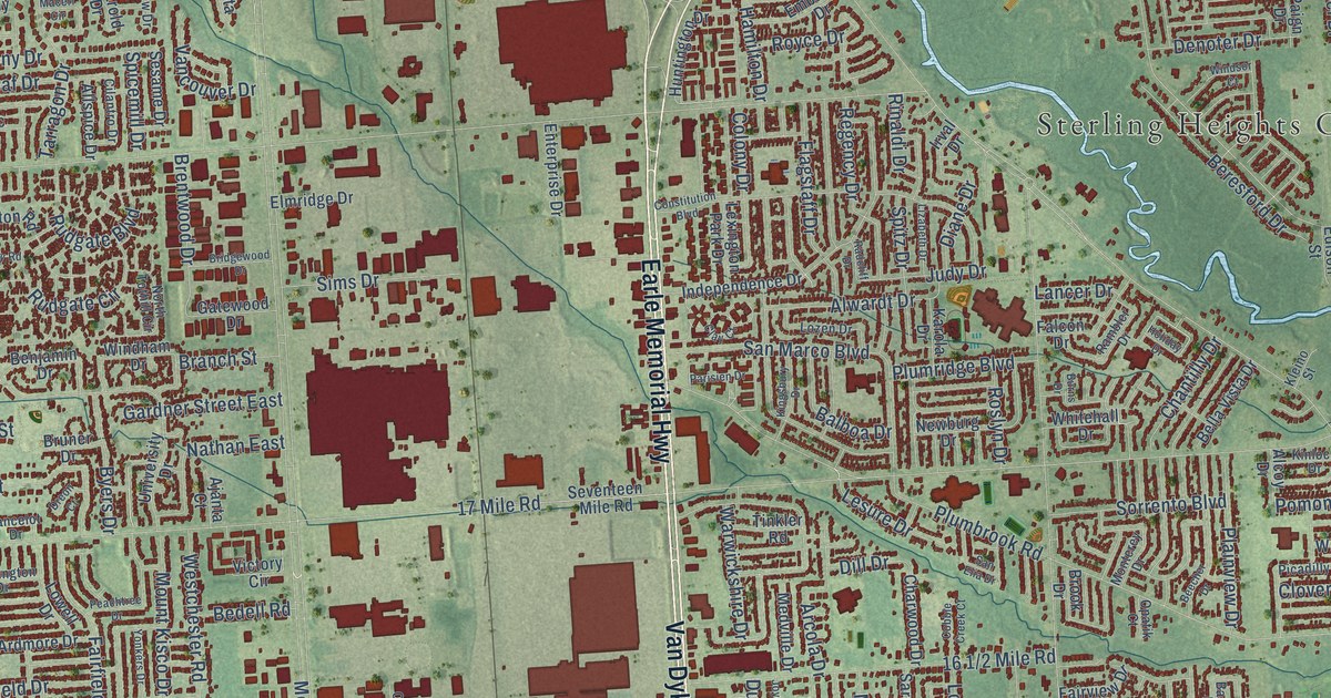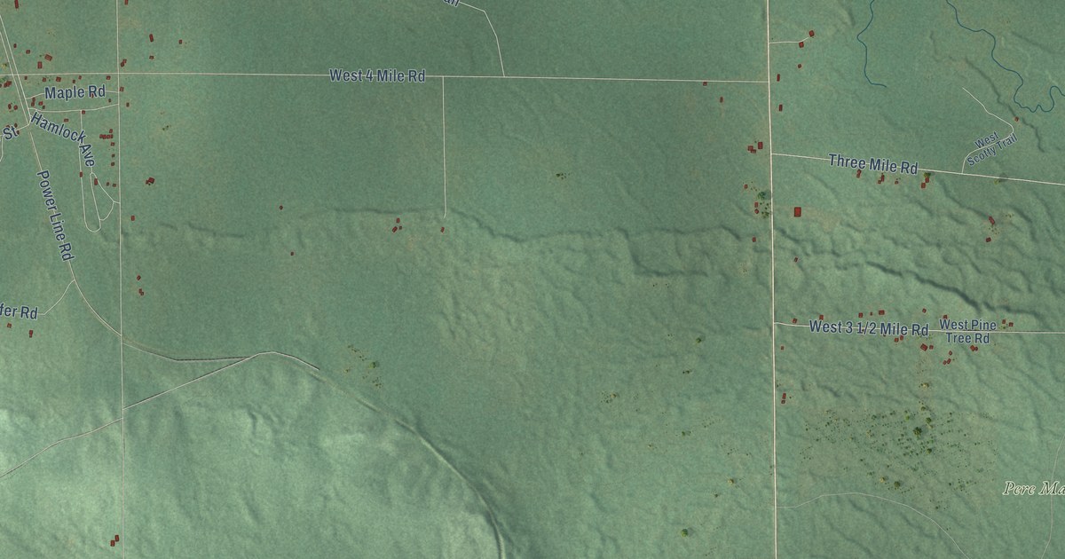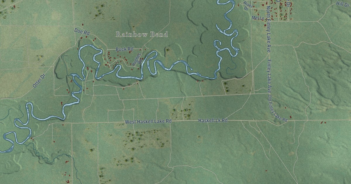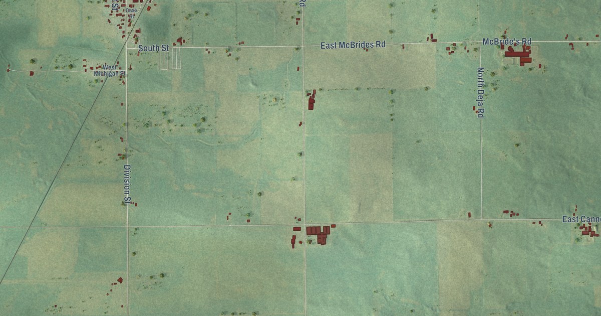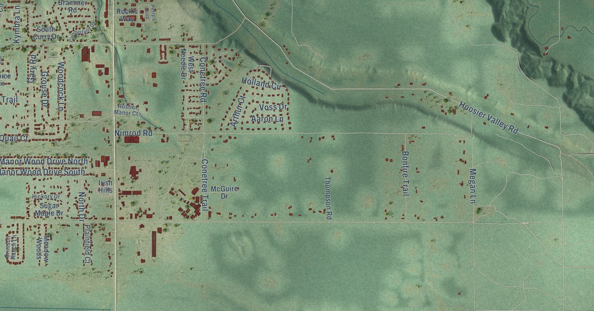
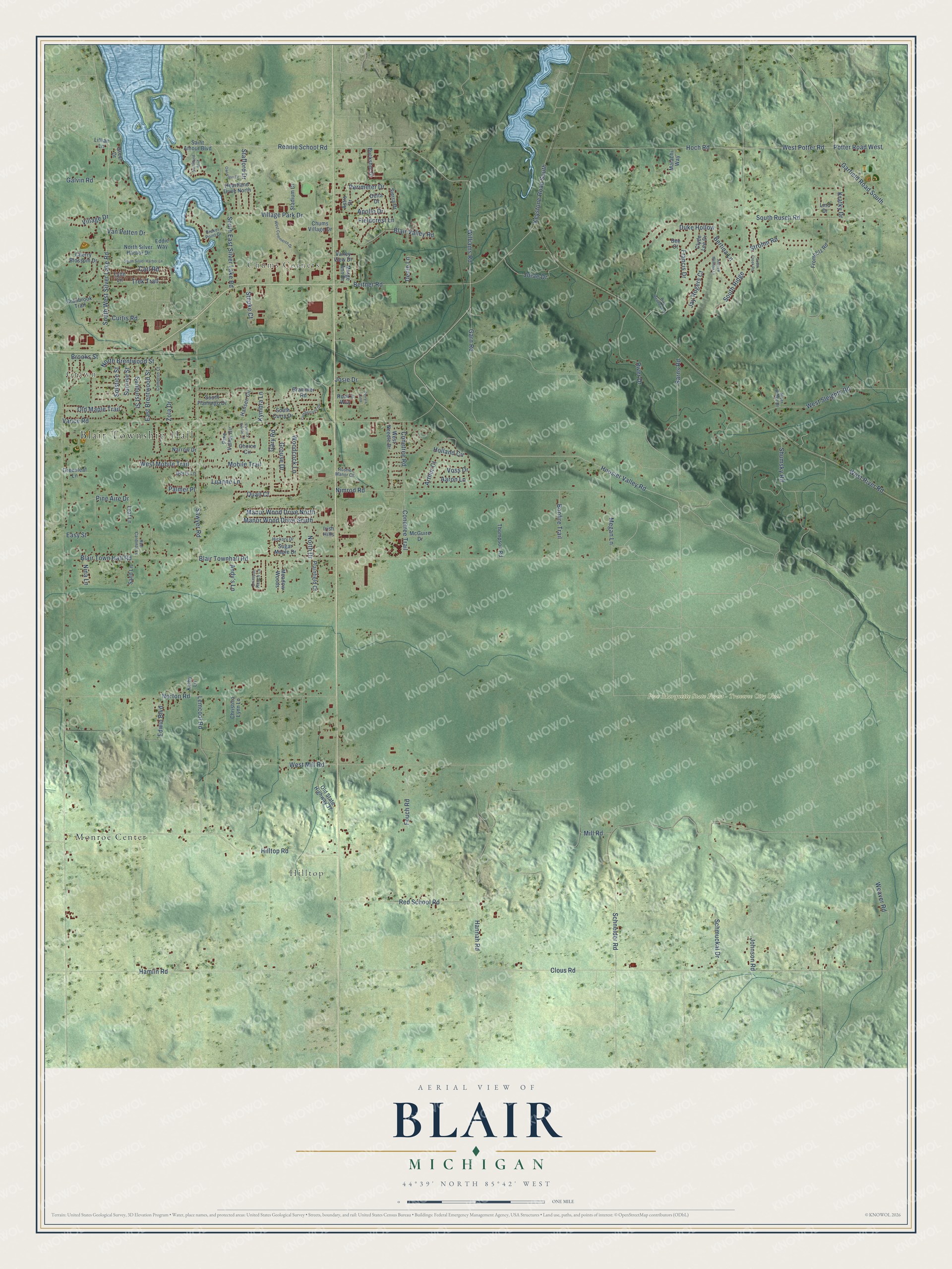
This beautifully detailed map of Blair, Michigan was created in 2026 using aerial imagery combined with modern topographical, census, street and landmark data. It's a modern aerial view of Blair in Grand Traverse County, Michigan, that combines modern data with a vintage aesthetic. The roads feature printed names, and if you look closely you can find your exact house accurately shown in its correct location.
Explore an aerial view of Blair, Michigan
On this map you'll find Blair Township Hall, Grawn, Hilltop, Chums Corners, Pere Marquette State Forest – Traverse City Unit, Monroe Center, Hoosier Valley Road, Williams Road, Rennie School Road, Sawyer Road, Beitner Road, Keystone Road South, and more. Each red shape is a building, so zoom in on the preview and look for yours.
Every town has a first chapter, and Blair is no exception. The Traverse Region puts it this way: "The town of Blair was organized by the board of supervisors at the April session in 1867."
The Census Bureau counted 8,994 people here in 2020.
Take a closer look at the Blair map
Names on this map
These names are printed on this map.
Places: Blair Township Hall, Grawn, Hilltop, Chums Corners, Pere Marquette State Forest - Traverse City Unit and Monroe Center.
Streets and roads: Hoosier Valley Road, Williams Road, Rennie School Road, Sawyer Road, Beitner Road, Keystone Road South, Mill Road, Clous Road, West River Road, Hamlin Road, Hoch Road, Potter Road West.
More street names, A to Z
Aaron Lane, Andrew Melissa Lane, Andy's Lane, Apollo Drive, Arthur Court, Astro Drive, Bee Court, Bertina Lane, Blair Townhall Road, Blair Town Hall Road, Blair Valley Road, Bonfire Trail, Brakel Point Drive, Brammer Road, Brooks Street, Buckshot Drive, Carl Road, Cherry Blossom Drive, Choice Circle, Christina Lynn Lane, Chums Village Drive, Clyde Lee Drive, Compton Court, Conetree Road, Conetree Trail, Country Estate Lane, Cranbrook Trail, Crimson Ranch Lane, Cumberland Drive, Curtis Road, Delta Drive, Denie Lane, Doris Lane, Duke Hollow, East Brentwood Street, Easy Street, Eddie Way, Edwin Boulevard, Fieldcrest Lane, Fouch Road, Francis Drive, Fromholz Road, Galvin Road, Garfield Road South, Garn Road, Gary Road, Greenleaf Lane, Greer Drive, Grouse Drive, Hannah Road, Hansen Circle, Heartland Drive North, Hickory Drive, Hilltop Road, Holland Circle, Irish Hills, Jay Rogers Court, Johnson Road, Jorae Drive, Josie Drive, Kathy Lane, Kratky Drive, Kymbra Lane, Leaf Lane, Lemcool Road, Lillian Lane, Lind Drive, Luanne Lane, Lynn Lane, Malachi Way, Manor Wood Drive North, Manor Wood Drive South, Marge Ann Drive, McGuire Drive, Meadow Woods, Megan Lane, Mobile Trail, Narrow Drive, Nimrod Road, Nina Lane, North Brentwood Street, North Drive, Northland Boulevard, North Silver Harbor Drive, Norton Road, Old Maple Trail, Old State Highway 37, Owl View Drive, Palmer Place, Perimeter Drive, Perry's Loop, Pine Aire Drive, Pine Valley Circle, Plainfield Court, Quail Court, Red Cardinal Lane, Red School Road, River Drive, River Meadows Lane, River Ridge Drive, Rock's Way, Rustic Manor Court, Saint Amour Boulevard, Sand Lane, Sarns Road, Schmuckal Drive, Schneider Road, Shumsky Road, Sierra Drive, Solstice Street, South Creek Road, South Curry Drive, South East Silver Lake Road, South Flamingo Drive, South Ridge, South Rusch Road, South Silver Harbor Lane, South West Silver Lake Road, Stadium Drive, Stafford Drive, Stepke Court, Strohm Road, Sugar Maple Drive, Sunburst Street, Sunrise Street, Thompson Road, Trek Trail, Valley View Drive, Vance Road, Van Petten Drive, Village Drive, Village Park Drive, Voss Drive, Weaver Road, West Commerce Drive, West Mill Road, West Mobile Trail, West Needle Drive, West Potter Road, West Sleights Road, Woodcock Lane, Zola Drive.
Created by KNOWOL in 2026. The buildings are small red shapes, the roads carry their printed names, and shaded relief shows the shape of the land. The title panel reads "AERIAL VIEW OF BLAIR, MICHIGAN" with 44°39' NORTH 85°42' WEST.
Hang it in the hallway, the office or the cabin, or give it to someone who left Blair and still calls it home. Open the preview and look for a street you know. See sizes and frames for the Blair map.