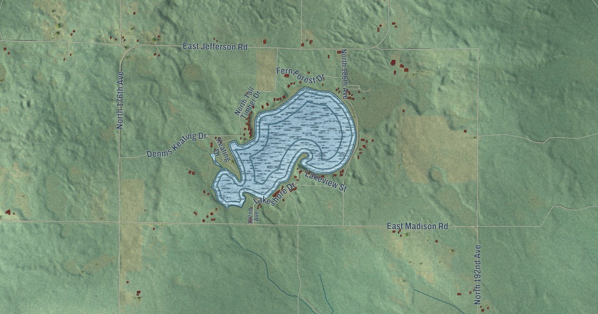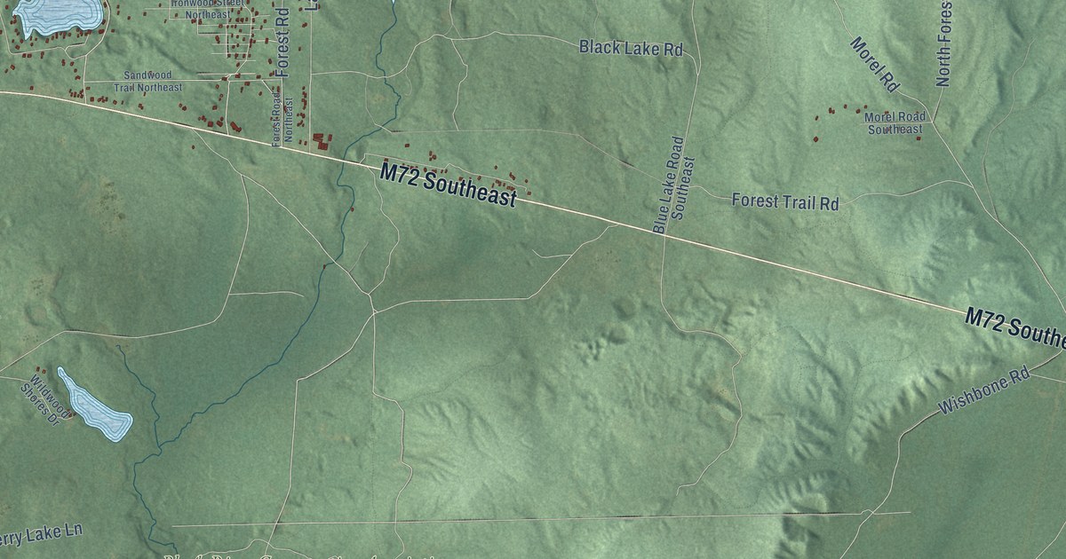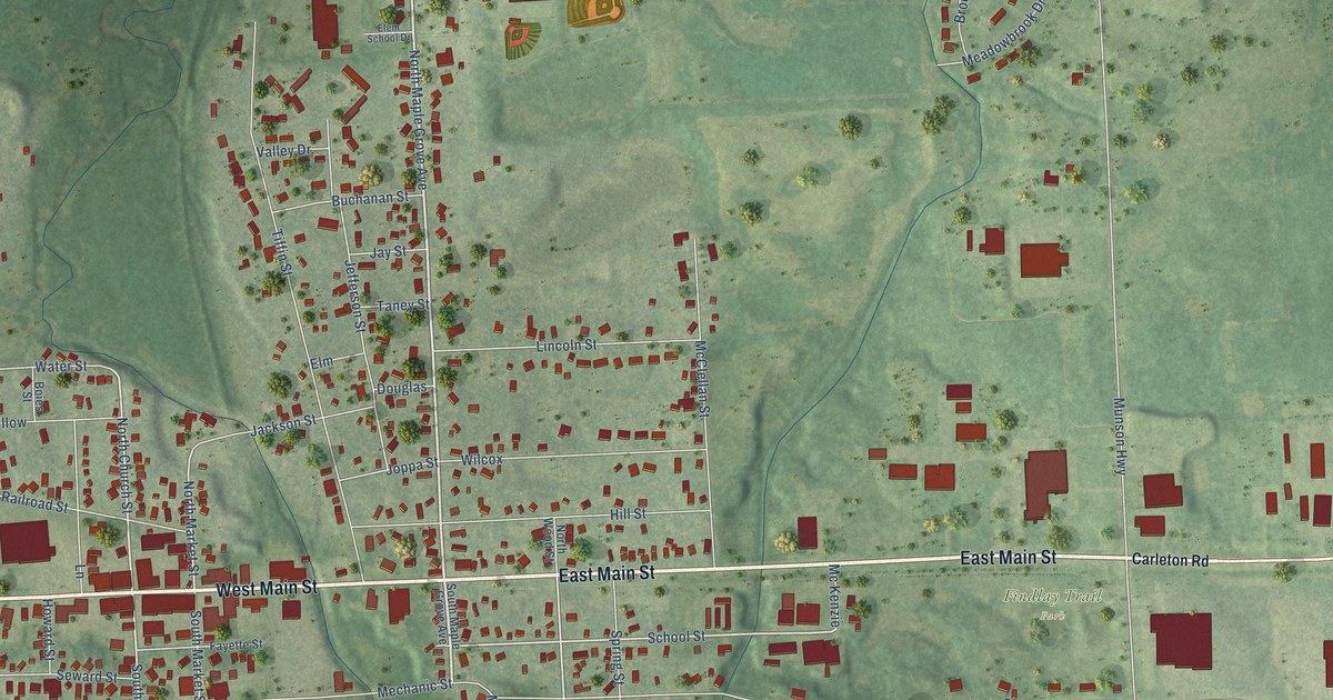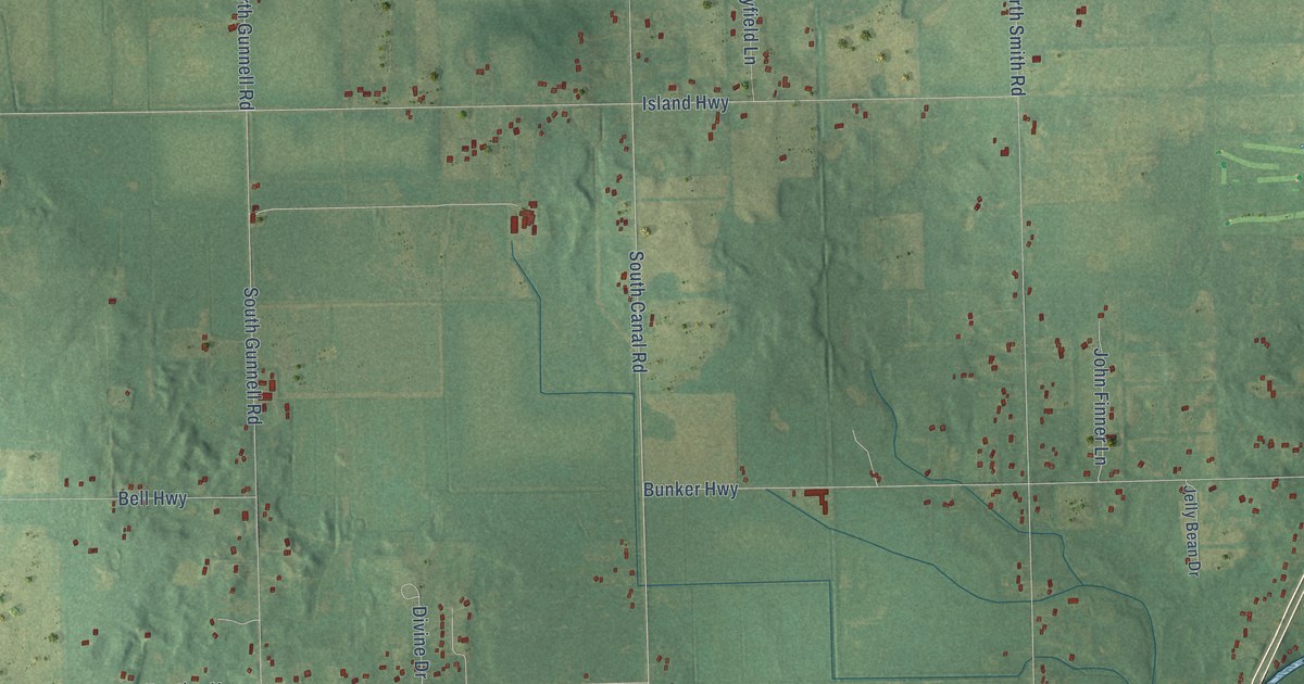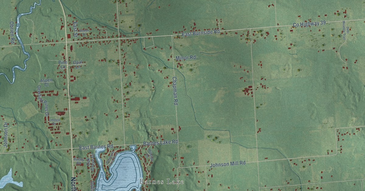
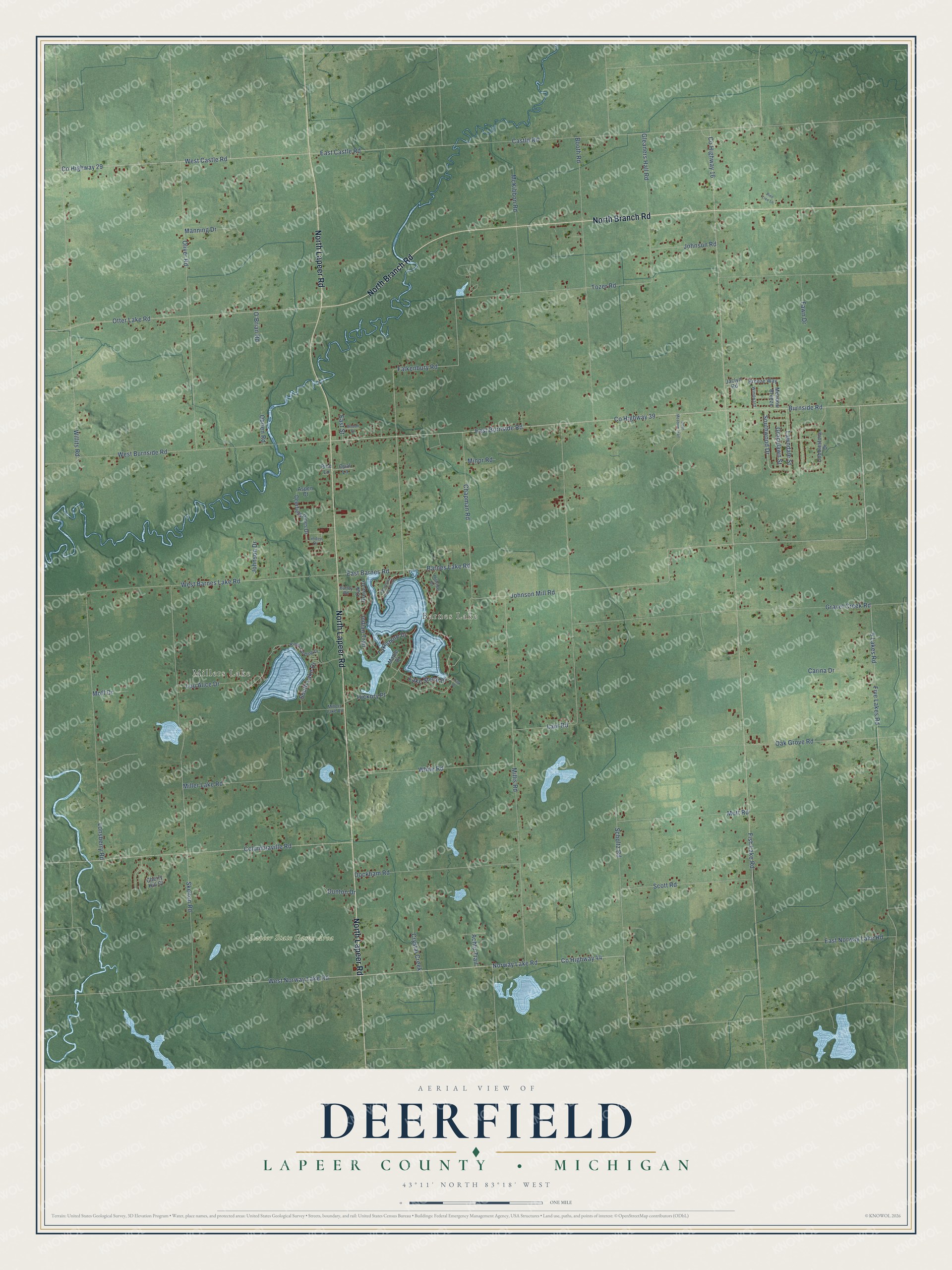
This beautifully detailed map of Deerfield, Michigan was created in 2026 using aerial imagery combined with modern topographical, census, street and landmark data. It's a modern aerial view of Deerfield in Lapeer County, Michigan, that combines modern data with a vintage aesthetic. The roads feature printed names, and if you look closely you can find your exact house accurately shown in its correct location.
Explore an aerial view of Deerfield, Michigan
On this map you'll find Millers Lake, Barnes Lake, Lapeer State Game Area, North Lapeer Road, North Branch Road, East Burnside Road, East Norway Lake Road, West Norway Lake Road, Co Highway 44, 5 Lakes Road, Five Lakes Road, Johnson Mill Road, and more. Each red shape is a building, so zoom in on the preview and look for yours.
Every town has a first chapter, and Deerfield is no exception. The Lapeer County History puts it this way: "The annual report of the school inspectors of the town of Deerfield for the year 1882, shows the number of school buildings to have been six;number of school children, 275."
The Census Bureau counted 5,764 people here in 2020.
Take a closer look at the Deerfield map
Names on this map
These names are printed on this map.
Places: Millers Lake, Barnes Lake and Lapeer State Game Area.
Streets and roads: North Lapeer Road, North Branch Road, East Burnside Road, East Norway Lake Road, West Norway Lake Road, County Highway 44, 5 Lakes Road, Five Lakes Road, Johnson Mill Road, County Highway 29, West Castle Road, County Highway 39.
More street names, A to Z
Achtu Trail, Aspen Court, Barnes Lake Road, Bindon Drive, Booth Road, Breeze Way, Burley Road, Burnside Road, Carina Drive, Castle Road, Chapman Road, Cherry Hill Court, Cobblestone Drive, Columbiaville Road, County Highway 16, Crystal Creek, Deerfield Pines Drive, Deer Meadow Trail, Dockham Road, Dunton Drive, East Barnes Road, East Castle Road, East Street, Falkenbury Road, Fawn Drive, Fish Lake Road, Gleaners Hall Road, Gracelawn Street, Gravel Creek Road, Hickory Place, Hillside Drive, Indian Trail, Jaclyn Road, Johnson Drive, Johnson Road, Kings Landing Drive, Lake Shore Drive, Lakeshore Drive, Laur Road, Lawndale Street, Linden Drive, Lonsberry Road, Lou Alice Drive, Manning Drive, Maple Drive, McKibbon Road, Meadow Breeze, Miller Lake Road, Millers Lake Road, Millis Road, Minor Road, Moff Drive, Mott Road, Norway Lake Road, O'Brian Road, Oak Grove Drive, Oak Grove Road, Obrien Road, Oliver Road, Opal Lane, Otter Lake Road, Park Drive, Peninsula Drive South, Pine Lane, Pine Tree Lane, Scholtz Road, Scott Road, Skelton Road, South Lake Drive, Southwood Drive, Tozer Road, West Barnes Lake Road, West Burnside Road, White Road, Willits Road, Windward.
Created by KNOWOL in 2026. The buildings are small red shapes, the roads carry their printed names, and shaded relief shows the shape of the land. The title panel reads "AERIAL VIEW OF DEERFIELD, LAPEER COUNTY • MICHIGAN" with 43°11' NORTH 83°18' WEST.
Hang it in the hallway, the office or the cabin, or give it to someone who left Deerfield and still calls it home. Open the preview and look for a street you know. See sizes and frames for the Deerfield, Lapeer County map.