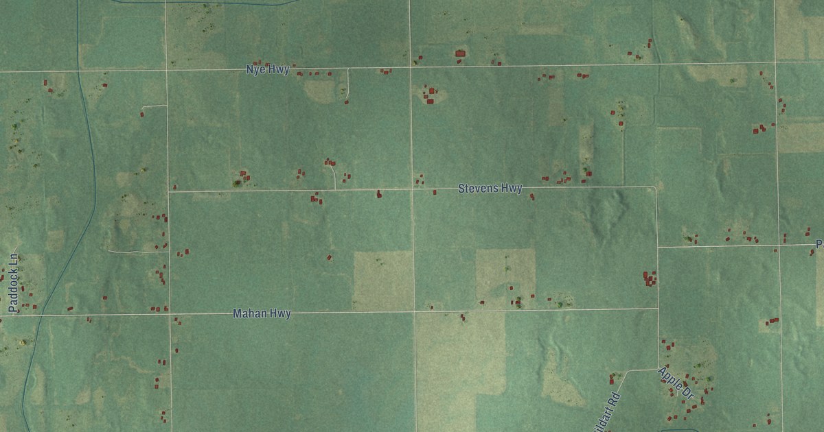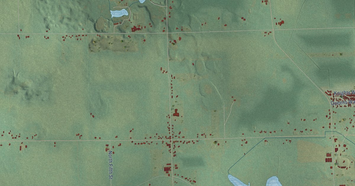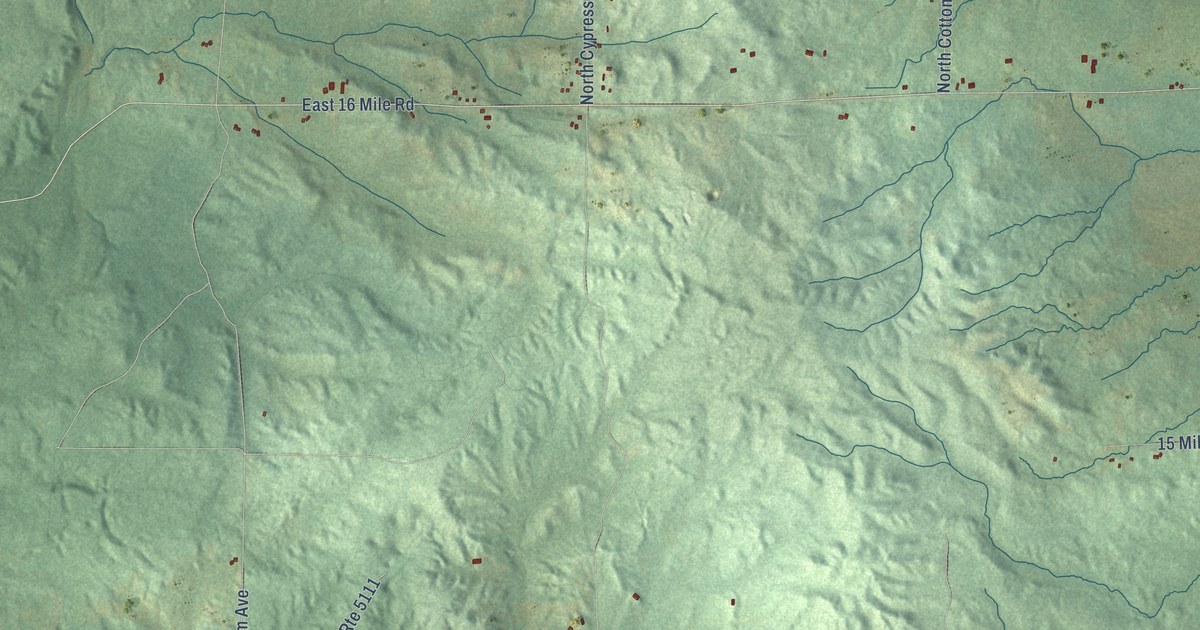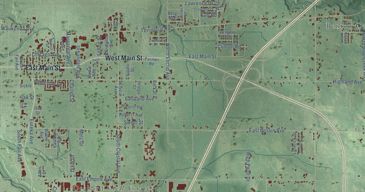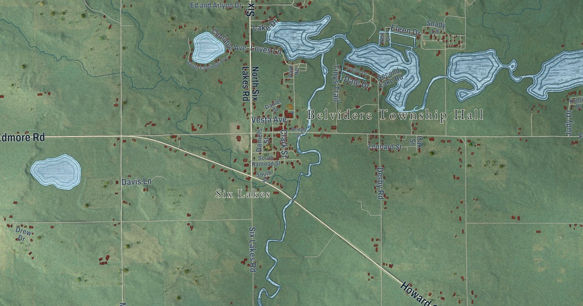
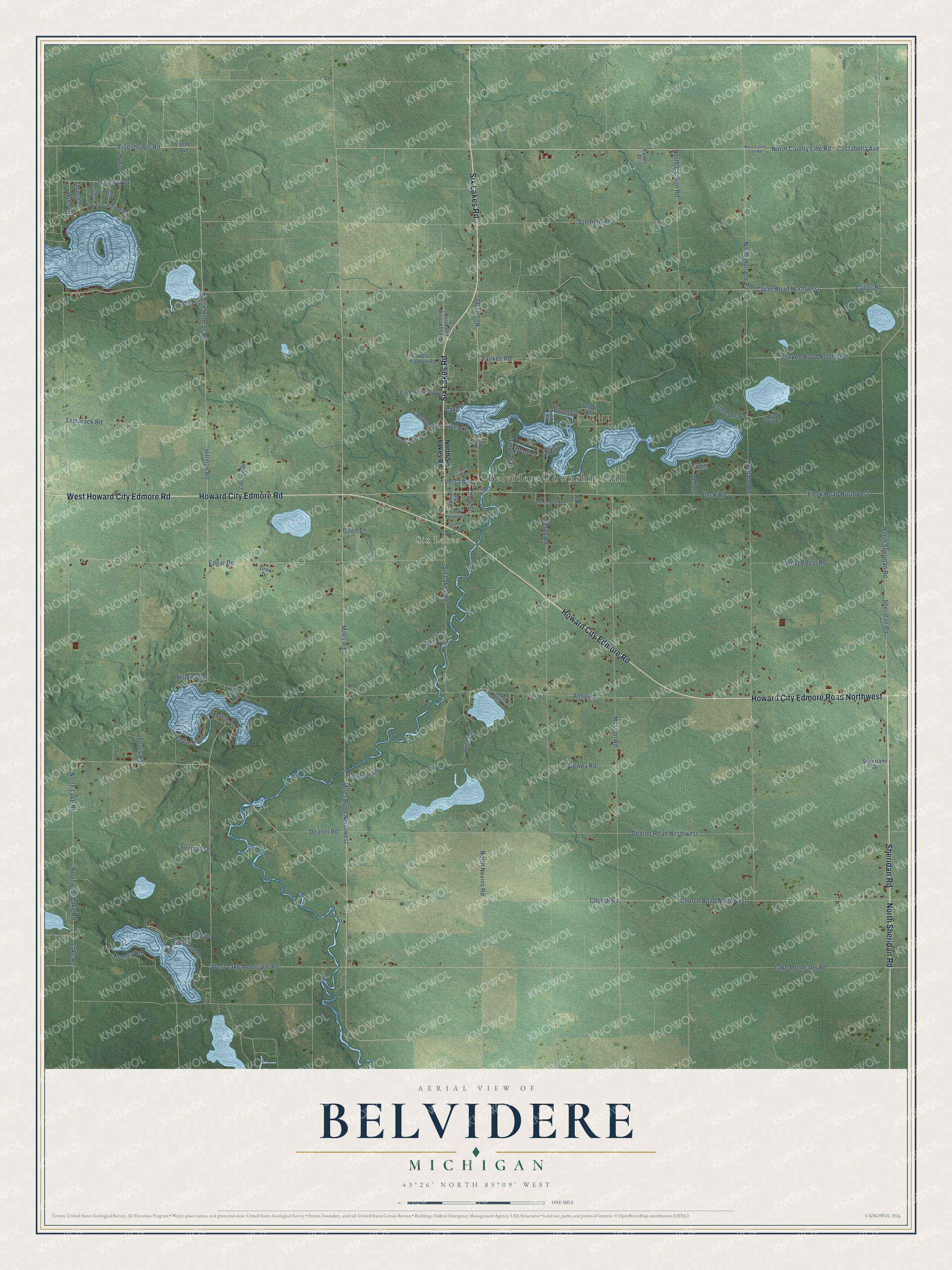
This beautifully detailed map of Belvidere, Michigan was created in 2026 using aerial imagery combined with modern topographical, census, street and landmark data. It's a modern aerial view of Belvidere in Montcalm County, Michigan, that combines modern data with a vintage aesthetic. The roads feature printed names, and if you look closely you can find your exact house accurately shown in its correct location.
Explore an aerial view of Belvidere, Michigan
On this map you'll find Belvidere Township Hall, Six Lakes, Six Lakes Road, North Sheridan Road, Howard City Edmore Road Northwest, Howard City Edmore Road, West Howard City Edmore Road, Sheridan Road, North County Line Road, Loves Lane, Costabella Avenue, Miles Road, and more. Each red shape is a building, so zoom in on the preview and look for yours.
Every town has a first chapter, and Belvidere is no exception. The History of Montcalm County puts it this way: "Six Lakes, situated, as it is, on the Pere Marquette railroad, and the only town in Belvidere township, has taken quite a local prominence as a business center for this community. At present Six Lakes has a population of approximately five hundred people."
The Census Bureau counted 2,135 people here in 2020.
Take a closer look at the Belvidere map
Names on this map
These names are printed on this map.
Places: Belvidere Township Hall and Six Lakes.
Streets and roads: Six Lakes Road, North Sheridan Road, Howard City Edmore Road Northwest, Howard City Edmore Road, West Howard City Edmore Road, Sheridan Road, North County Line Road, Loves Lane, Costabella Avenue, Miles Road, Nevins Road, Hillman Road.
More street names, A to Z
50th Avenue, Almy Road, Alvin Drive, Birch Drive, Bridge Street, Cedar Point, Chessie Drive, Church Road, Church Road Northwest, Clark Street, Coolidge Avenue, Cutler Road, Cutler Road Northwest, Dale Drive, Daniels Street, Daniel Street, Davis Lane, Deaner Road, Deaner Road Northwest, Derby Road, Dewey Road, Drew Drive, Ed and Arlynn Drive, Edgar Road, Eisenhower Road, Eleen Drive, Evans Drive, Ferris Road, Fifth Lake Road, Flat River Drive, Fleck Road, Fleck Road Northwest, Heron Drive, Hillview Drive, Holland Road, Holman Drive, Judy Drive, Keeney Road, Kristie Drive, Lake Drive, Lake Montcalm Road, Lake Road, Leonard Street, Little Penny Lane, Lucille Drive, Miles Road Northwest, Morse Drive, Musson Road, Neil Drive, North Carlson Road, North Hillman Road, North Holland Road, North Lake Road, North Nevins Road, North Old Six Lakes Road, North Six Lakes Road, Northwest Lake Road, Oak Street, Oriole Drive, Park Road, Petes Drive, Pine Drive, Robin Drive, Schmeid Drive, Schmeid Road, Second Lake Road, Shady Lane, Shelly Drive, Silverlane Drive, South Caroline Drive, South Coolidge Avenue, South Railroad Street, South Shore Drive, South Street, Stephens Drive, Tamarack Road, Thrush Drive, Tinys Trail, Vesta Avenue, West County Line Road, West Edgar Road, West Lake Montcalm Road, West Yankee Road, Woodland Drive, Wren Drive, Yankee Road, Yankee Road Northwest.
Created by KNOWOL in 2026. The buildings are small red shapes, the roads carry their printed names, and shaded relief shows the shape of the land. The title panel reads "AERIAL VIEW OF BELVIDERE, MICHIGAN" with 43°26' NORTH 85°09' WEST.
Hang it in the hallway, the office or the cabin, or give it to someone who left Belvidere and still calls it home. Open the preview and look for a street you know. See sizes and frames for the Belvidere map.