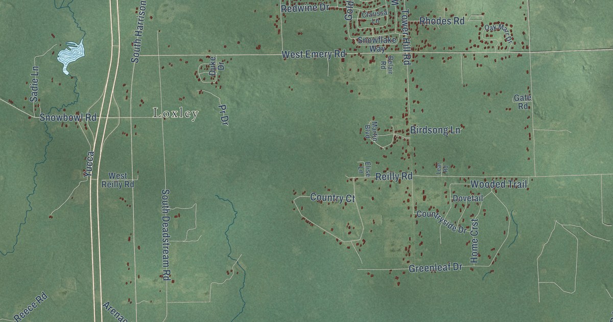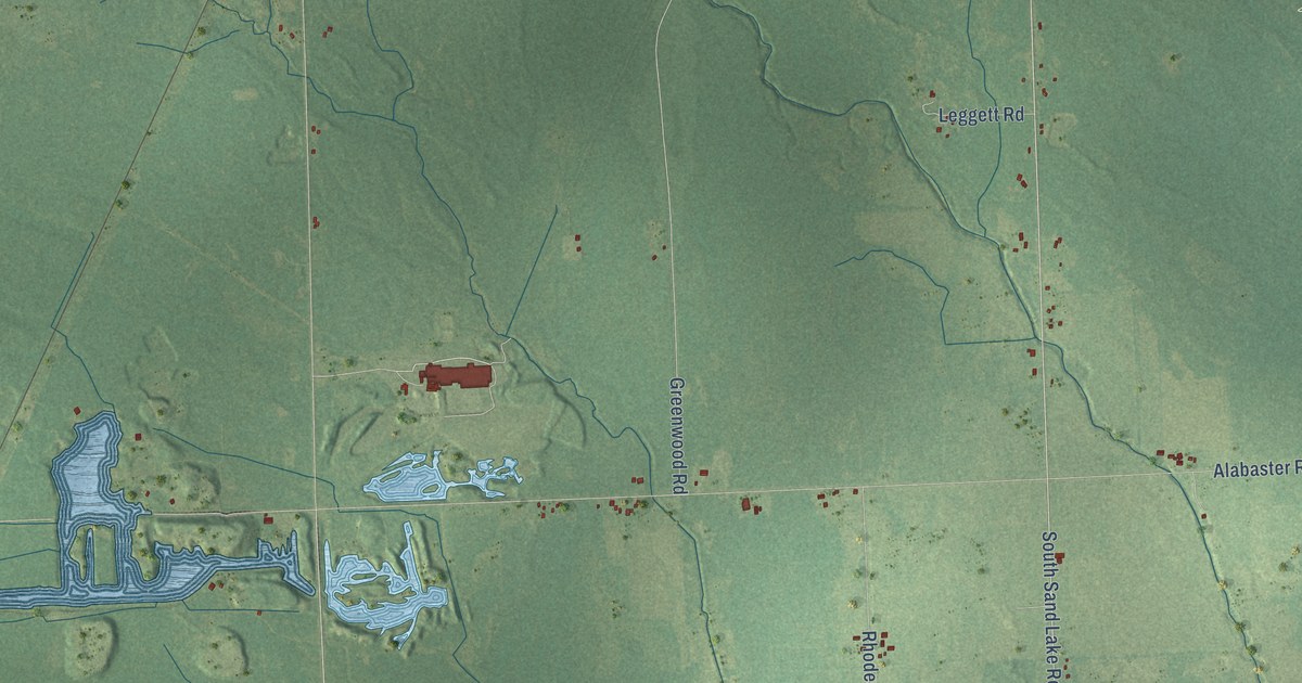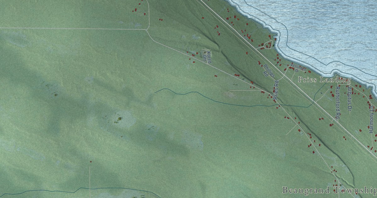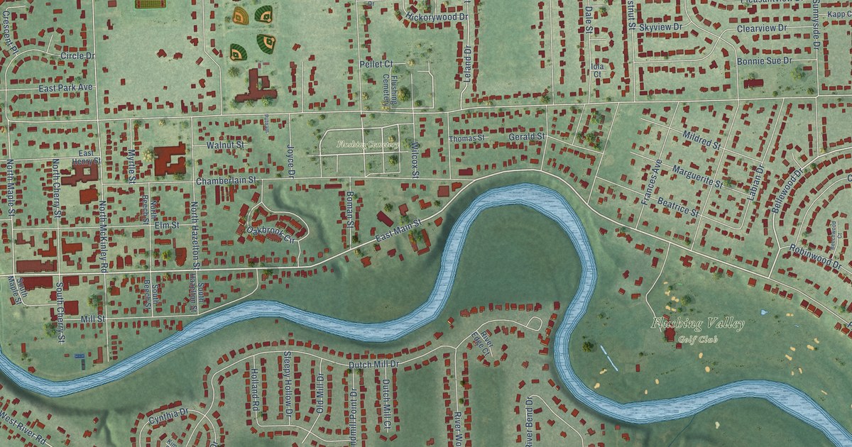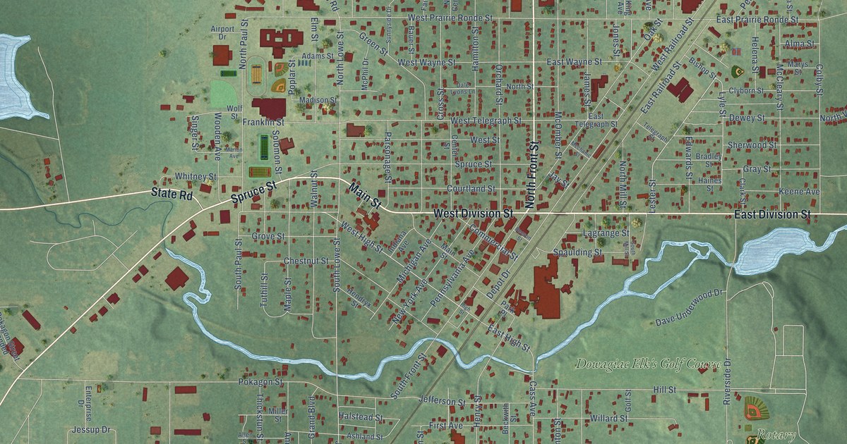
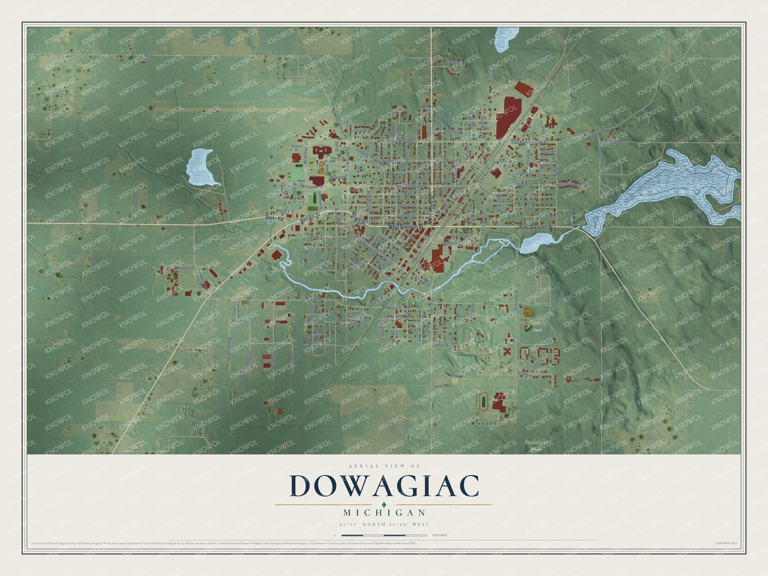
This beautifully detailed map of Dowagiac, Michigan was created in 2026 using aerial imagery combined with modern topographical, census, street and landmark data. It's a modern aerial view of Dowagiac in Cass County, Michigan, that combines modern data with a vintage aesthetic. The roads feature printed names, and if you look closely you can find your exact house accurately shown in its correct location.
Explore an aerial view of Dowagiac, Michigan
On this map you'll find Rotary Park, Rudolphi Woods, Dowagiac Elk's Golf Course, East Division Street, North Front Street, Spruce Street, West Division Street, Main Street, State Road, Lester Street, West High Street, South Lowe Street, and more. Each red shape is a building, so zoom in on the preview and look for yours.
Here is a piece of Dowagiac history, in the words of the record. The History of Cass County puts it this way: "In 1854, Mr. James L. Gantt established the Dowagiac Tribune, and continued its publication until 1859, when he sold the good will of the office to W. H. Campbell."
Dowagiac is a city in Cass County. The Census Bureau counted 5,721 people here in 2020.
Take a closer look at the Dowagiac map
Names on this map
These names are printed on this map.
Places: Rotary Park, Rudolphi Woods, Dowagiac Elk's Golf Course and Burmax Park.
Streets and roads: East Division Street, North Front Street, Spruce Street, West Division Street, Main Street, State Road, Lester Street, West High Street, South Lowe Street, East High Street, Cass Avenue, Johnson Street.
More street names, A to Z
Adams Street, Airport Drive, Allen Street, Alma Street, Amerihost Drive, Andrew Street, Ashland Street, Bauer Street, Beckwith Street, Beeson Street, Bishop Street, Bradley Street, Budlow Street, Center Street, Chestnut Street, Clark Street, Cleveland Street, Clinton Street, Clyborn Street, Colby Street, Commercial Street, Cora Street, Courtland Street, Cross Street, Daily Road, Dale Lyons Lane, Dave Underwood Drive, Davis Lane, Dawsett Drive, Depot Drive, Dewey Street, Dogwood Circle, East Prairie Ronde Street, East Railroad Street, East Telegraph Street, East Wayne Street, Edwards Street, Elm Street, Enterprise Drive, Fairfield Drive, Fairview Drive, First Avenue, Florence Avenue, Franklin Street, Gideon Street, Golf Street, Grand Boulevard, Gray Street, Green Street, Grove Street, Haines Street, Halstead Street, Hamilton Street, Heddon Drive, Helena Street, Hendryx Street, Henry Street, High Street, Hill Street, Indiana Avenue, Industrial Drive, James Street, Jay Street, Jefferson Street, Jessup Drive, Jones Street, Keene Avenue, King Avenue, King Street, Lagrange Street, Lincoln Street, Louise Avenue, Lyle Street, Madison Street, Maple Street, Marcellus Highway, Marion Avenue, Marys Street, McCleary Street, McOmber Street, McPhil Drive, Mechanic Street, Michigan Avenue, Middle Crossing Road, Miller Street, New York Avenue, North Center Street, North Lowe Street, North Mill Street, North Paul Street, North Street, North Villamere Drive, Nubour Road, Oak Street, Orchard Street, Paris Avenue, Park Place, Parsonage Street, Pennsylvania Avenue, Percy Street, Pokagon Street, Pokagon Street Extended, Poplar Street, Premiere Drive, Riverside Drive, Rockwith Avenue, Round Oak Drive, Second Avenue, Sheldon Street, Sherwood Street, Singer Street, Solomon Street, South Front Street, South Mill Street, South Paul Street, South Street, Spaulding Street, Sunnyside Drive, Sunset Street, Telegraph Street, Thickstun Street, Third Avenue, Tuthill Street, Uneta Street, Union Street, Vineyard Place Drive, Walnut Street, West Prairie Ronde Street, West Railroad Street, West Street, West Telegraph Street, West Wayne Street, Whitney Street, Willard Street, Wolf Street, Wooden Avenue, Woodhouse Drive, Yaw Street.
Created by KNOWOL in 2026. The buildings are small red shapes, the roads carry their printed names, and shaded relief shows the shape of the land. The title panel reads "AERIAL VIEW OF DOWAGIAC, MICHIGAN" with 41°59' NORTH 86°06' WEST.
It suits a den, a classroom or a front hall, and it makes a gift for anyone with Dowagiac roots. Open the preview and find the block you know. See sizes and frames for the Dowagiac map.