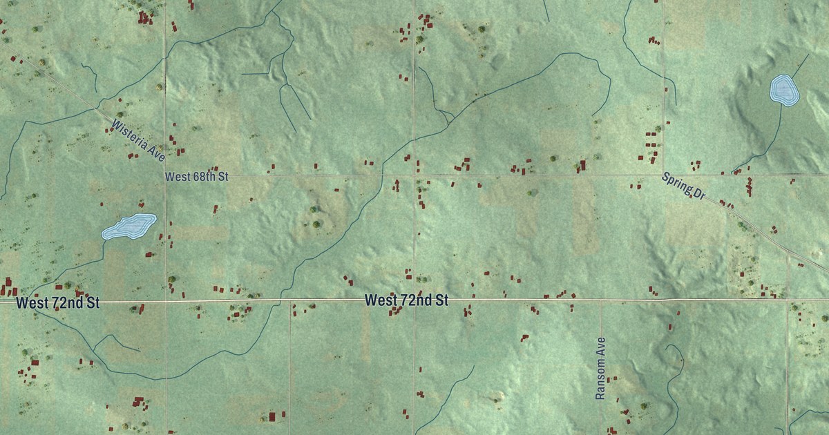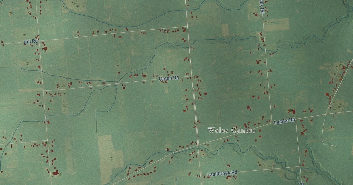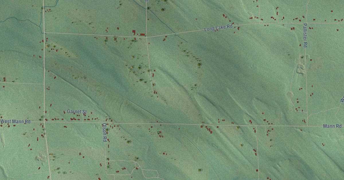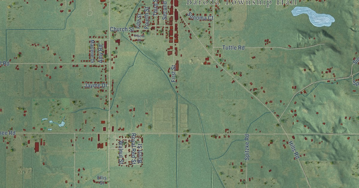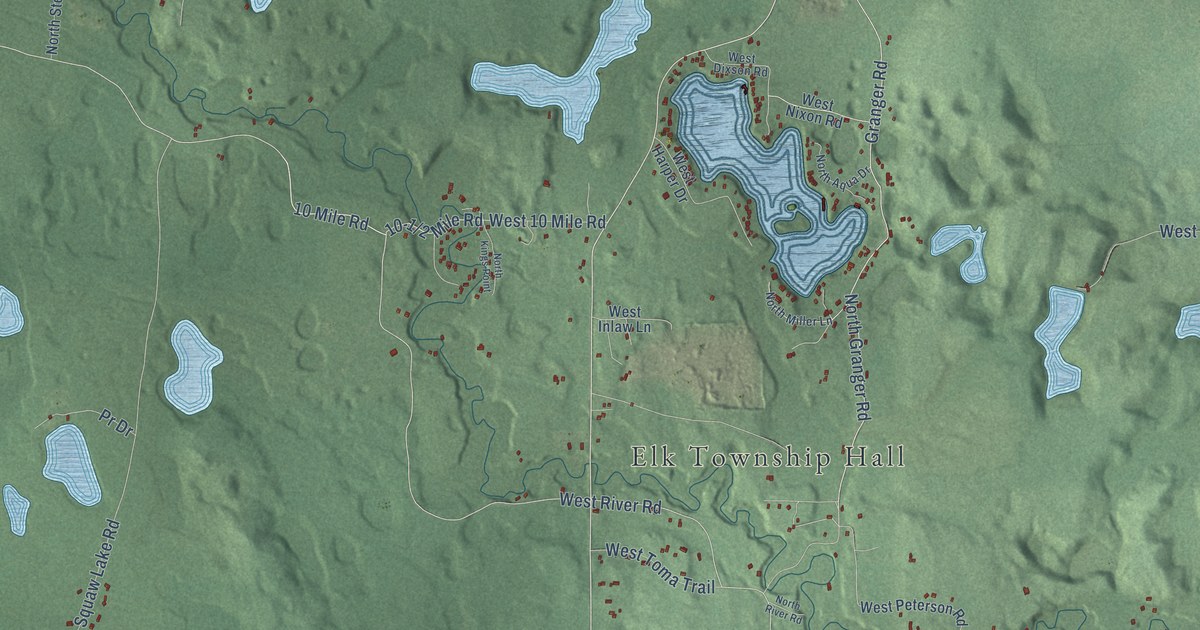
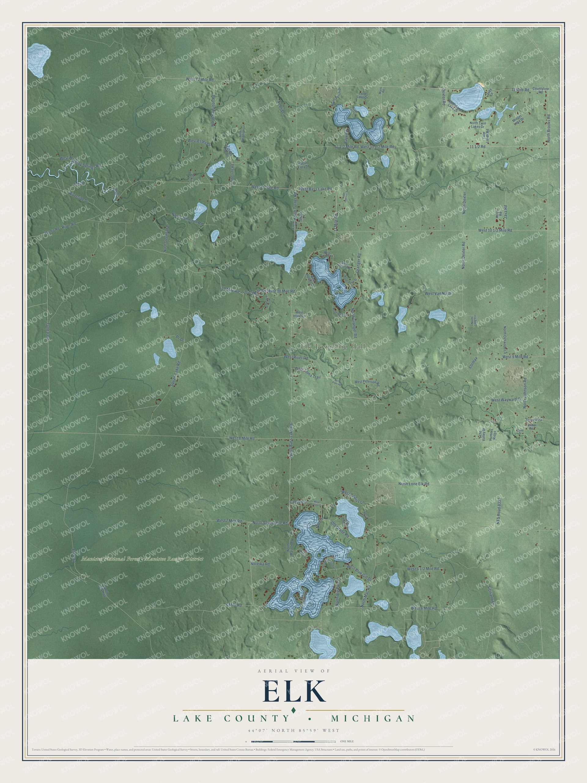
This beautifully detailed map of Elk, Michigan was created in 2026 using aerial imagery combined with modern topographical, census, street and landmark data. It's a modern aerial view of Elk in Lake County, Michigan, that combines modern data with a vintage aesthetic. The roads feature printed names, and if you look closely you can find your exact house accurately shown in its correct location.
Explore an aerial view of Elk, Michigan
On this map you'll find Elk Township Hall, Manistee National Forest – Manistee Ranger District, North Bass Lake Road, West Bass Lake Road, North Seven Mile Road, 6 Mile Road, 10 Mile Road, West River Road, 11 Mile Road, 10-1/2 Mile Road, North Turner Road, Granger Road, and more. Each red shape is a building, so zoom in on the preview and look for yours.
Every town has a first chapter, and Elk is no exception. The Elk Township puts it this way: "Elk Township was formally organized in 1874, alongside neighboring Eden Township, as part of the rapid administrative subdivision of the county's forested lands. This followed a pattern: Cherry Valley and Webber were created in 1872, and Dover in 1875."
The Census Bureau counted 940 people here in 2020.
Take a closer look at the Elk map
Names on this map
These names are printed on this map.
Places: Elk Township Hall and Manistee National Forest - Manistee Ranger District.
Streets and roads: North Bass Lake Road, West Bass Lake Road, North Seven Mile Road, 6 Mile Road, 10 Mile Road, West River Road, 11 Mile Road, North Turner Road, Granger Road, West 12 Mile Road, West 6 Mile Road, North Granger Road.
More street names, A to Z
12 Mile Road, Aebli Drive, Bay Shore Drive, Bayview, Bone Drive, Canyon Drive, Casey Lane, Countyline Road, Dexter Road, Echo Valley Drive, Elbow Lk Road, Elk Highway, Elton Drive, Herps Road, Hunters Ridge, Janbar Road, Java Road, Koenig Road, Little Lake Drive, Lormax, Mack Road, Midget Lake Drive, Mulder Drive, NFS Road 8330, Nifferg, Noreika Road, North Aqua Drive, North Big Pine Drive, North Brooks Road, North Caribou Trail, North Deertrail Road, North Dexter, North Dexter Road, North Elk Highway, North Gladys Lane, North Hamilton Road, North Homestead Circle, North Johnson Road, North Johnston Road, North Kings Point, North Lang Circle, North Lone Elk Road, North Mac Road, North Maple Ridge Circle, North Maston Road, North Miller Lane, North Natahki Drive, North Oakwood Lane, North Perch Drive, North Resort Drive, North River Road, North Sand Lake Drive, North Steelhead Drive, North Twin Lakes Drive, Old Grade Road, Pr Drive, River Road, Riverside Drive, Shady Lane, Siciliano Drive, Timber Line Drive, Timberline Road, Towerview, Twin Lakes Road, Tyndal Road, West 7 Mile Road, West 8 Mile Road, West 9 Mile Road, West 10 Mile Road, West 11 Mile Road, West Blue Gill Drive, West Canyon Drive, West Dixson Road, West Easy Street, West Estes Drive, West Harper Drive, West Inlaw Lane, West Lisaius Lane, West Nixon Road, West Peterson Road, West Pomeroy Springs Road, West Toma Trail, West Van Nu Drive, West Wayward Court, Wicks Farm Lane.
Created by KNOWOL in 2026. The buildings are small red shapes, the roads carry their printed names, and shaded relief shows the shape of the land. The title panel reads "AERIAL VIEW OF ELK, LAKE COUNTY • MICHIGAN" with 44°07' NORTH 85°59' WEST.
Hang it in the hallway, the office or the cabin, or give it to someone who left Elk and still calls it home. Open the preview and look for a street you know. See sizes and frames for the Elk, Lake County map.