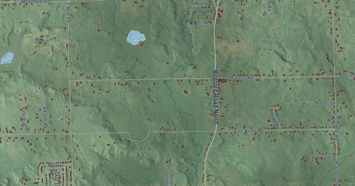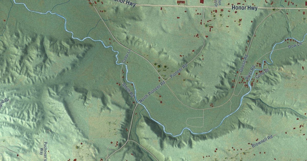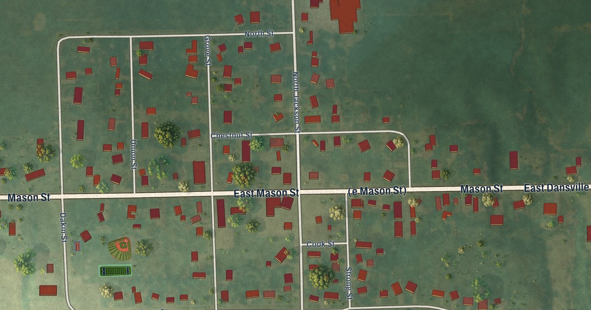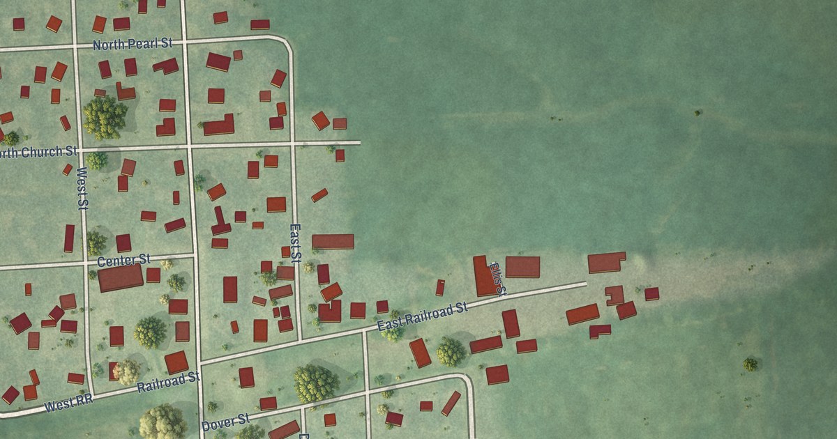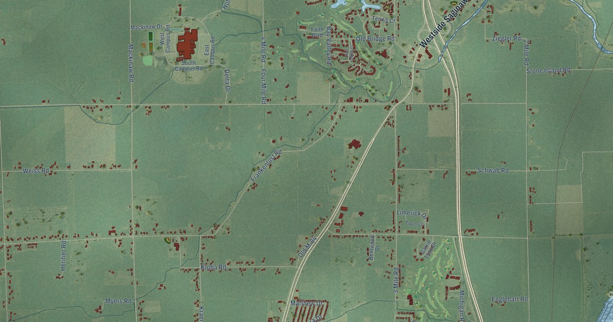
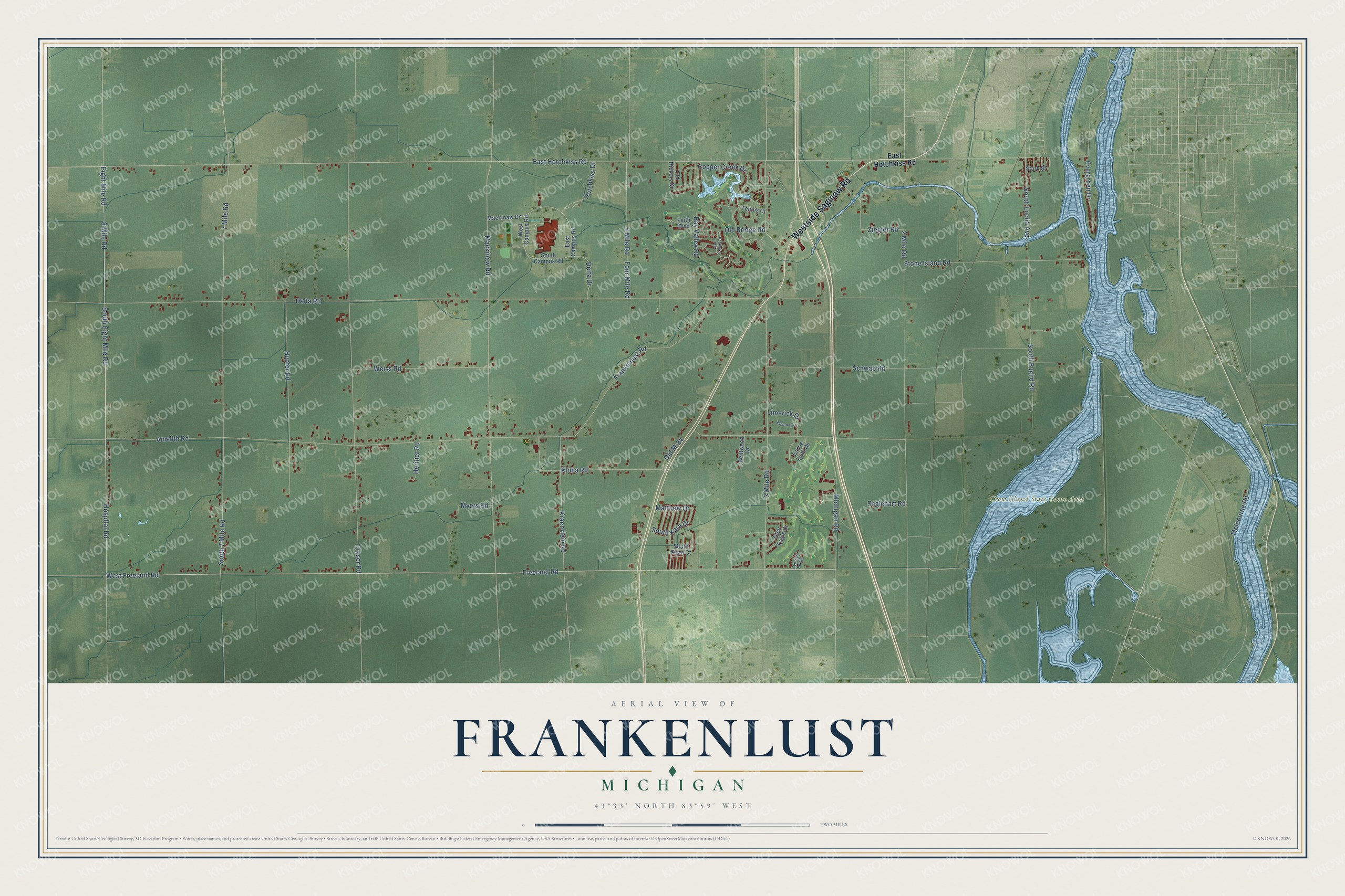
This beautifully detailed map of Frankenlust, Michigan was created in 2026 using aerial imagery combined with modern topographical, census, street and landmark data. It's a modern aerial view of Frankenlust in Bay County, Michigan, that combines modern data with a vintage aesthetic. The roads feature printed names, and if you look closely you can find your exact house accurately shown in its correct location.
Explore an aerial view of Frankenlust, Michigan
On this map you'll find Crow Island State Game Area, Westside Saginaw Road, Eight Mile Road, Hospital Road, South Eight Mile Road, East Hotchkiss Road, Freeland Road, West Freeland Road, 7 Mile Road, Mackinaw Road, Delta Road, Amelith Road, and more. Each red shape is a building, so zoom in on the preview and look for yours.
Here is a piece of Frankenlust history, in the words of the record. The History of Bay County puts it this way: "Emanuel German Lutheran Church dates hack to the year 1854, six years after Rev. Ferdinand Sievers, Sr., the pioneer of Lutheran ministers in this county, founded the colony of Frankenlust."
The Census Bureau counted 3,672 people here in 2020.
Take a closer look at the Frankenlust map
Names on this map
These names are printed on this map.
Places: Crow Island State Game Area.
Streets and roads: Westside Saginaw Road, Eight Mile Road, Hospital Road, South Eight Mile Road, East Hotchkiss Road, Freeland Road, West Freeland Road, 7 Mile Road, Mackinaw Road, Delta Road, Amelith Road, Fraser Road.
More street names, A to Z
2 Mile Road, 3 Mile Road, 4 Mile Road, 8 Mile Road, Bay Valley Road, Bentwood Drive, Carrie Lynn Drive, Copper Creek Drive, Cypress Pointe, Delta Drive, East Campus Road, Englehart Road, Evergreen Drive, Faith Boulevard, Four Mile Road, Frankenlust Road, Glen Eagle Drive, Golf Lakes Court, Heritier Road, Hotchkiss Drive, Hupfer Road, Kilkenny Drive, Kloha Road, Kraenzlein Road, Limerick Drive, Mackinaw Drive, Matthew Drive, Melbourne Road, Michigan Road, Myers Road, Old Bridge Road, Old Hickory Drive, Old M-84, Schwab Road, South 7 Mile Road, South Campus Road, South Euclid Avenue, South Euclid Road, South Kara Drive, South Ryan Court, Stark Street, Stone Island Road, Tennis Court, Weiss Road, West Campus Road, Ziegler Road.
Created by KNOWOL in 2026. The buildings are small red shapes, the roads carry their printed names, and shaded relief shows the shape of the land. The title panel reads "AERIAL VIEW OF FRANKENLUST, MICHIGAN" with 43°33' NORTH 83°59' WEST.
It suits a den, a classroom or a front hall, and it makes a gift for anyone with Frankenlust roots. Open the preview and find the block you know. See sizes and frames for the Frankenlust map.