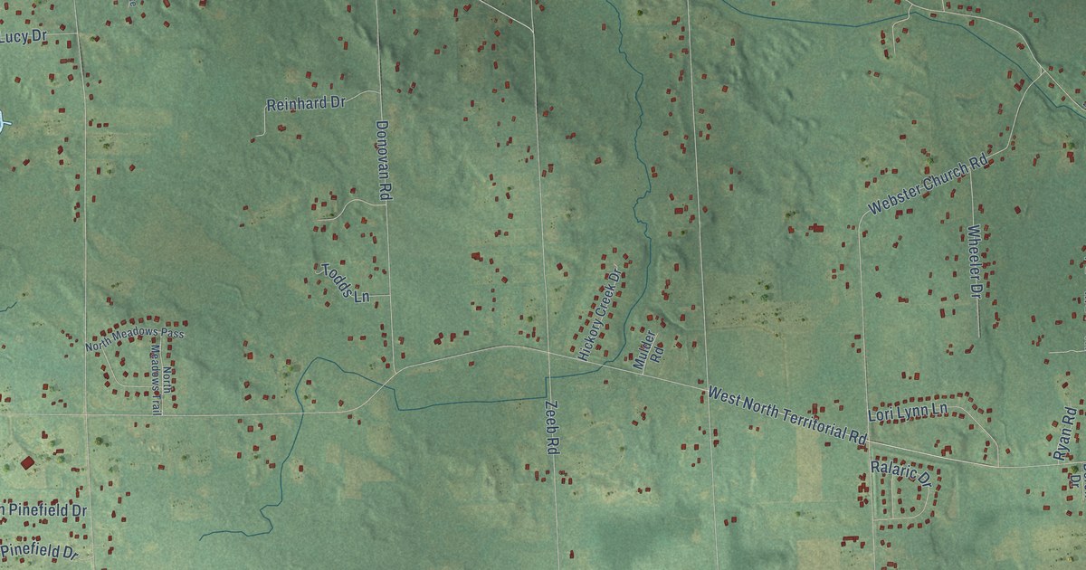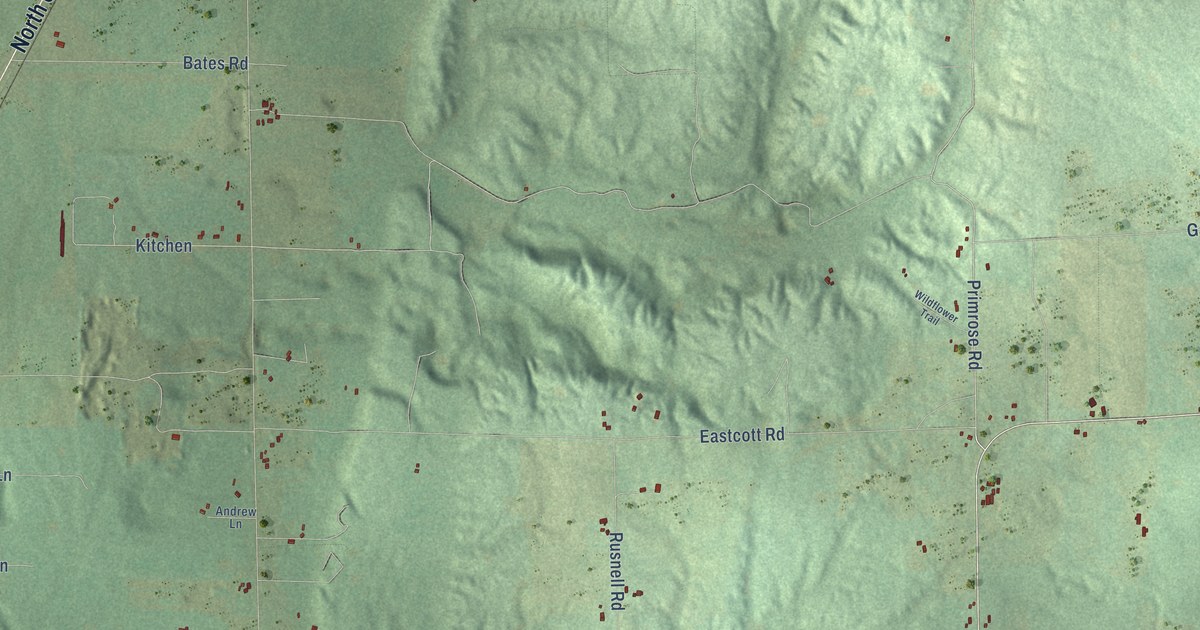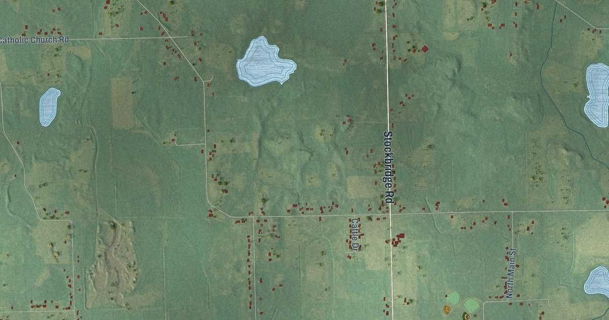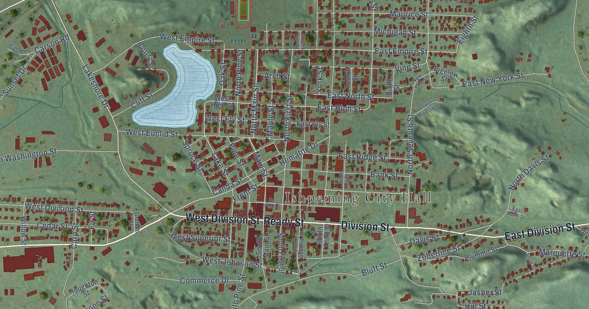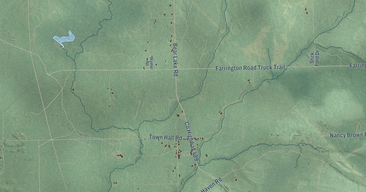
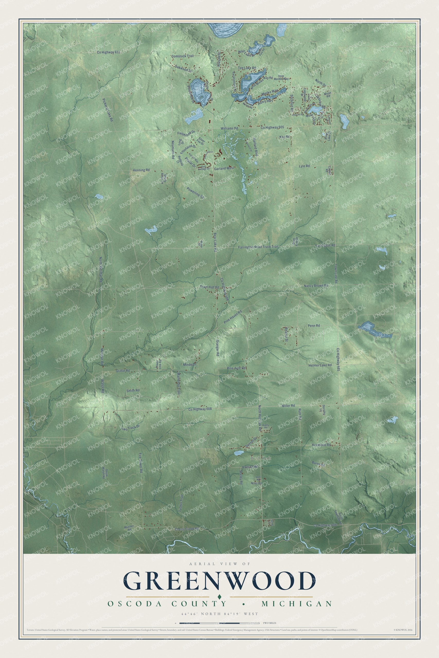
This beautifully detailed map of Greenwood, Michigan was created in 2026 using aerial imagery combined with modern topographical, census, street and landmark data. It's a modern aerial view of Greenwood in Oscoda County, Michigan, that combines modern data with a vintage aesthetic. The roads feature printed names, and if you look closely you can find your exact house accurately shown in its correct location.
Explore an aerial view of Greenwood, Michigan
On this map you'll find Red Oak, Garland Boulevard, Cherry Creek Road, Co Highway 612, Bear Lake Road, Ruth Road, North Red Oak Road, Walsh Road, Town Line Road, Fountains Drive, Neumann Road, Helmer Lake Road, and more. Each red shape is a building, so zoom in on the preview and look for yours.
The Census Bureau counted 1,158 people here in 2020. The map prints the town name in its title panel, with the coordinates below it.
Take a closer look at the Greenwood map
Names on this map
These names are printed on this map.
Places: Red Oak.
Streets and roads: Garland Boulevard, Cherry Creek Road, County Highway 612, Bear Lake Road, Ruth Road, North Red Oak Road, Walsh Road, Town Line Road, Fountains Drive, Neumann Road, Helmer Lake Road, Lakeview Road.
More street names, A to Z
Bearup Street, Burns Road, Carrell Road, Chardonnay Lane, Comstock Trail, County Highway 485, County Highway 489, County Highway 605, County Highway 606, County Highway 608, Crestwood Road, Dell Road, Dorothy Lane, Edgewood Drive, Elmer Lake Court, Farrington Road, Farrington Road Truck Trail, Fieldstone Drive, Fire Tower Road, Garland West, Golf Cottage Drive, Granger Road, Griffin Road, Hanson Road, Henning Road, Henry Highway, Hillside Drive, Hillwood Drive, Kay Road, Klarich Way, Kneeland Road, Long Drive, Lyle Road, Matheney Trail, Meridan Road, Mielke Way, Miller Road, Minde Drive, Moon Road, Mueller Road, Nancy Brown Road, New Meilke Way, Niles Road, North Drive, North Meridan Road, North Mielke Way Road, Oakwood Drive, Orville Road, Pearl Street, Penn Road, Pickeral Lake Road, Pine Ayre Road, Pine Haven Road, Pinewood Drive, Poplar Drive, Powerline Road, Redpine Court, Ripley Road, Sandy Lane, Seeley Road, Shady Pines Lane, Silver Fox Drive, Smith Road, South Park Road, South Townline Road, South Walsh Road, Spruce Drive, Stick Ford Drive, Stickfort Road, Sunset Drive, Tee Lake Road, Tee Lake Woods Road, Tower Line Road, Town Hall Road, Tucker Trail, Two Track Drive, Vacationland Drive, Valleywood Drive, Williams Road, Wolf Lake Drive, Woodridge Drive, Woodridge Road, Woodruff Drive, Wymer Road.
Created by KNOWOL in 2026. The buildings are small red shapes, the roads carry their printed names, and shaded relief shows the shape of the land. The title panel reads "AERIAL VIEW OF GREENWOOD, OSCODA COUNTY • MICHIGAN" with 44°46' NORTH 84°19' WEST.
Hang it in the hallway, the office or the cabin, or give it to someone who left Greenwood and still calls it home. Open the preview and look for a street you know. See sizes and frames for the Greenwood, Oscoda County map.