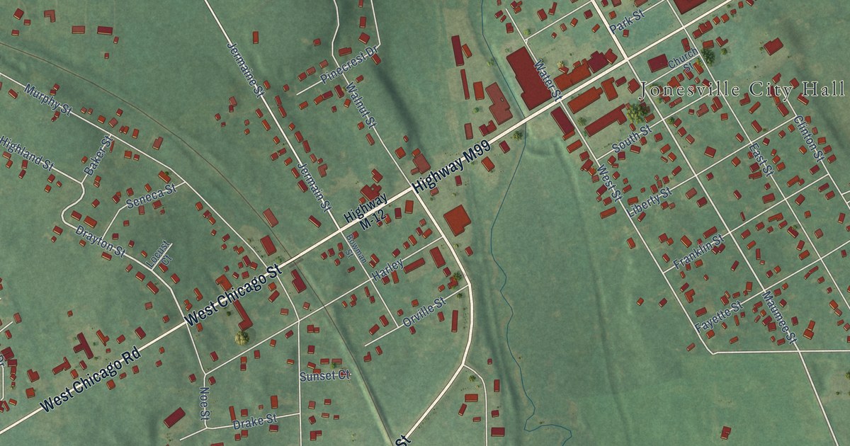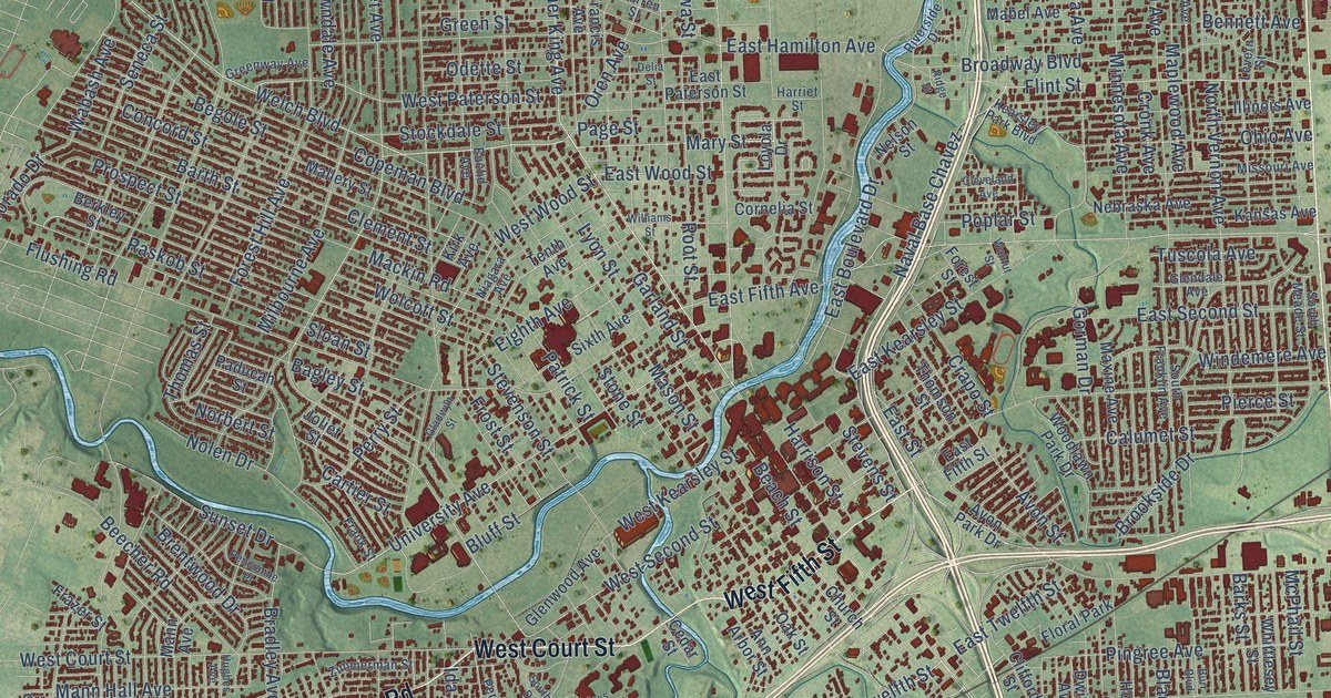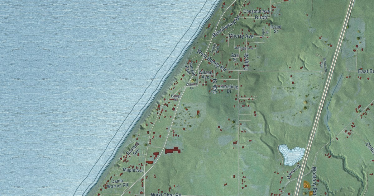
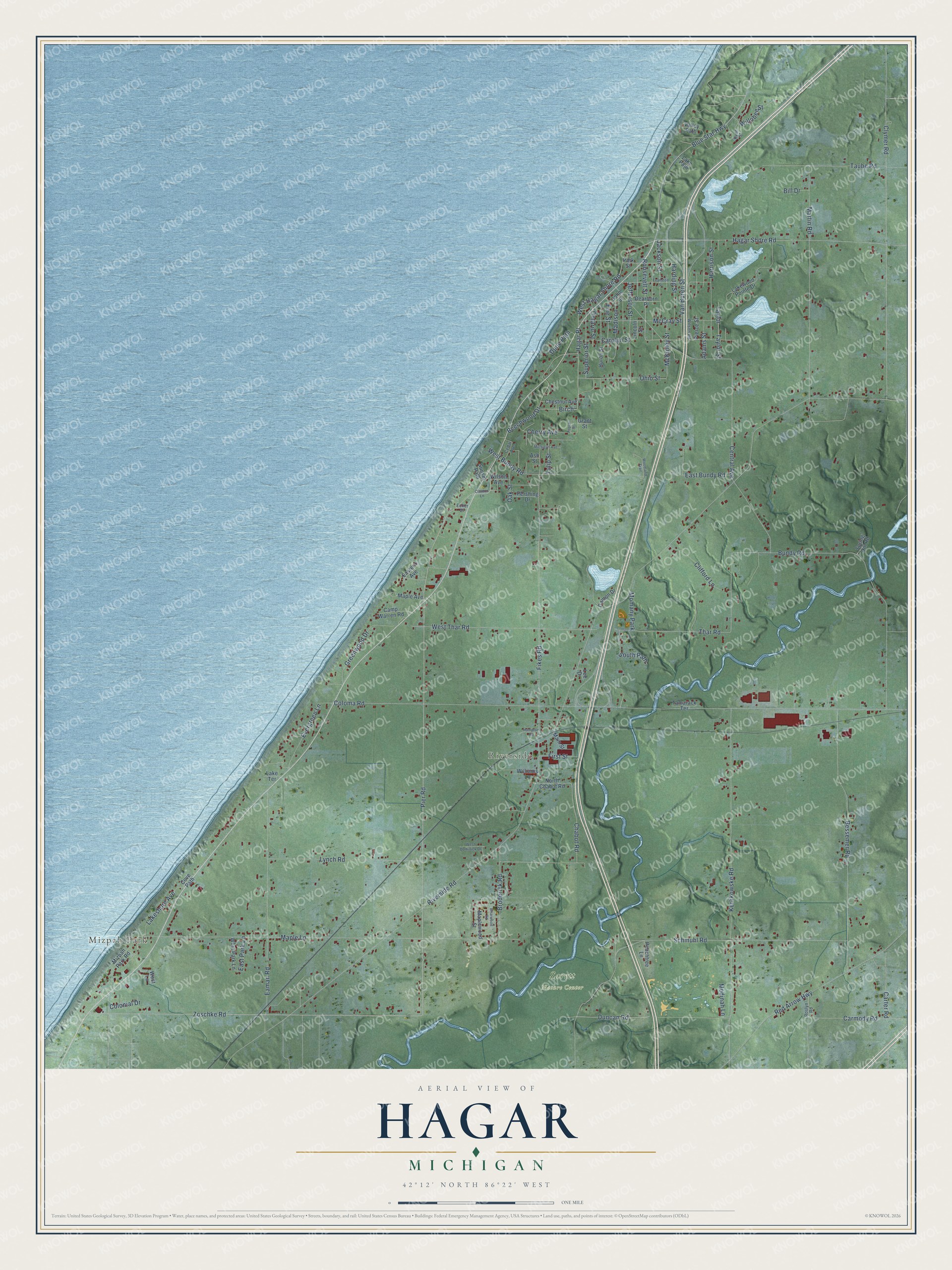
This beautifully detailed map of Hagar, Michigan was created in 2026 using aerial imagery combined with modern topographical, census, street and landmark data. It's a modern aerial view of Hagar in Berrien County, Michigan, that combines modern data with a vintage aesthetic. The roads feature printed names, and if you look closely you can find your exact house accurately shown in its correct location.
Explore an aerial view of Hagar, Michigan
On this map you'll find Mizpah Park, Riverside, Sarett Nature Center, Blue Star Highway, West Hagar Shore Road, Zoschke Road, Roosevelt Street, Hagar Place, Pier Road, Carolyn Street, Clymer Road, Erie Street, and more. Each red shape is a building, so zoom in on the preview and look for yours.
Hagar has a story worth telling. The History of Berrien and Van Buren Counties puts it this way: "Hagar was named in honor of William Hagar, of St. Joseph, whose son-in-law, John N. Rogers, a justice of the peace, performed certain services in obtaining the organization of the town, and as a compensation claimed the privilege of naming it."
The Census Bureau counted 3,243 people here in 2020.
Take a closer look at the Hagar map
Names on this map
These names are printed on this map.
Places: Mizpah Park, Riverside, Sarett Nature Center and Momany Park.
Streets and roads: Blue Star Highway, West Hagar Shore Road, Zoschke Road, Roosevelt Street, Hagar Place, Pier Road, Carolyn Street, Clymer Road, Erie Street, Birch, Central Avenue, Chabot Road.
More street names, A to Z
Adams Street, Ash Street, Beechwood Drive, Bessemer Road, Bill Drive, Briarwood Road, Broderick Road, Bundy Road, Camp Warren Road, Carmody Road, Carter Road, Cedar Avenue, Cherry Avenue, Chestnut Avenue, Clanton Lane, Clifford Lane, Coloma Road, Colonial Drive, Cove Path, Damon Drive, Dearborn Place, Duncan Road, Dune Path, Eaman Road, East Bundy Road, Eastern Avenue, East Park Lane, Ecker Drive, Evanston Street, Evergreen Lane, Fikes Road, First Street, Grant Street, Greenwood Drive, Hagar Shore Road, Hampton Road, Harding Street, Harrison Street, Huron Street, Jackson Street, Jefferson Street, John Street, Kerlikowske Road, Lake Path, Lakeshore Avenue, Lake Terrace, Lakewood Pointe Drive, Lee Drive, Lincoln Street, Lynch Road, Madison, Main Street, Maple Avenue, Maple Lane, Maplewood Street, Martin Road, McCray Street, McKinley Street, Medinah Lane, Michigan Avenue, Mizpah Park Road, North Chabot Road, Oak Street, Ohio Street, Ontario Street, Park Street, Peachtree Lane, Pershing Drive, Pierce Street, Poplar Street, Red Arrow Highway, Riverside Road, Roslyn Road, Ryor Street, Schmuhl Road, South Path, Spring Hill Road, Sunset Path, Superior Street, Tamarack Terrace, Taube Road, Taylor, Taylor Street, Thar Road, Tulip Street, Valley Path, Van Buren Street, West Bundy Road, West Dominick Drive, West Lane, West Park Lane, West Thar Road, Williams Lane, Willobee Street, Wilson Avenue, Wilson Road, Woodland Trail.
Created by KNOWOL in 2026. The buildings are small red shapes, the roads carry their printed names, and shaded relief shows the shape of the land. The title panel reads "AERIAL VIEW OF HAGAR, MICHIGAN" with 42°12' NORTH 86°22' WEST.
It looks right in a kitchen, an office or a den, and it's a gift for anyone who grew up in Hagar or moved away. Open the preview and find your street. See sizes and frames for the Hagar map.