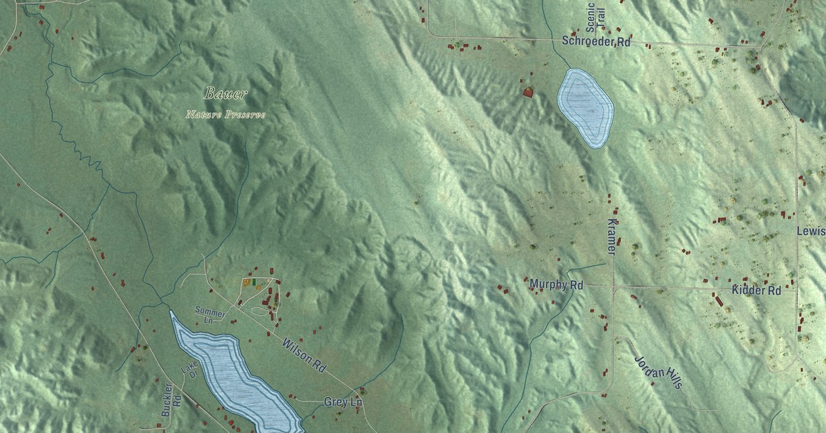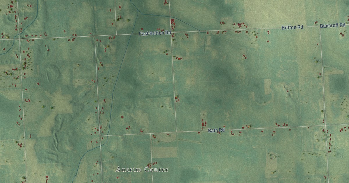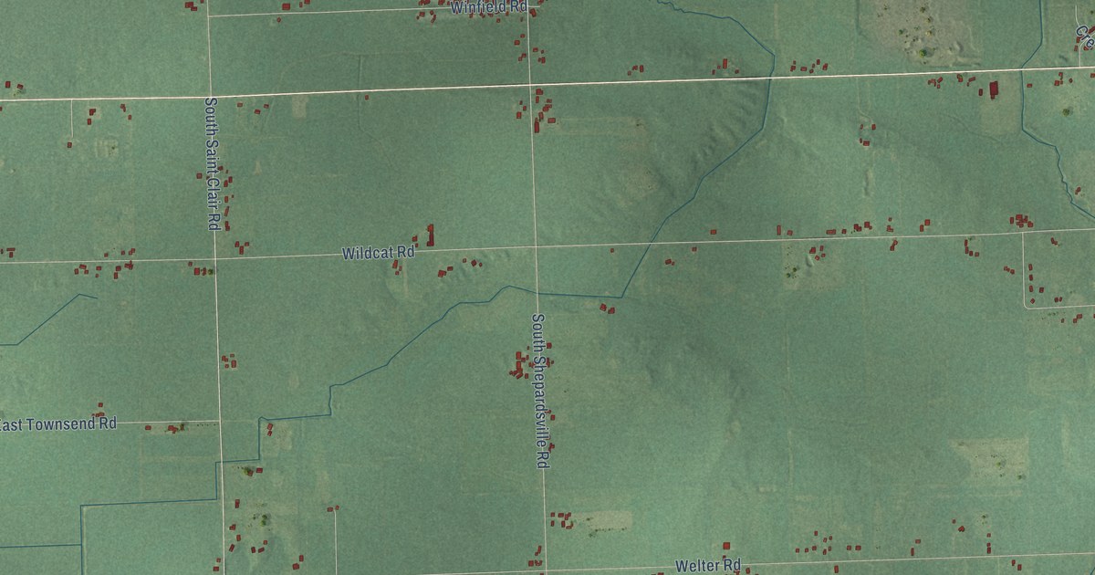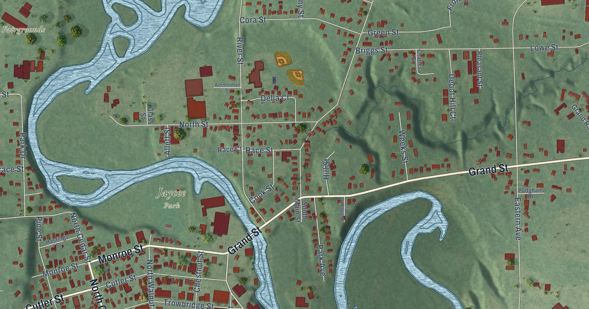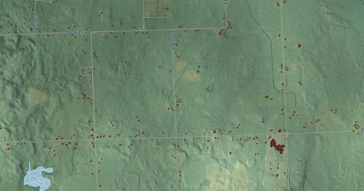
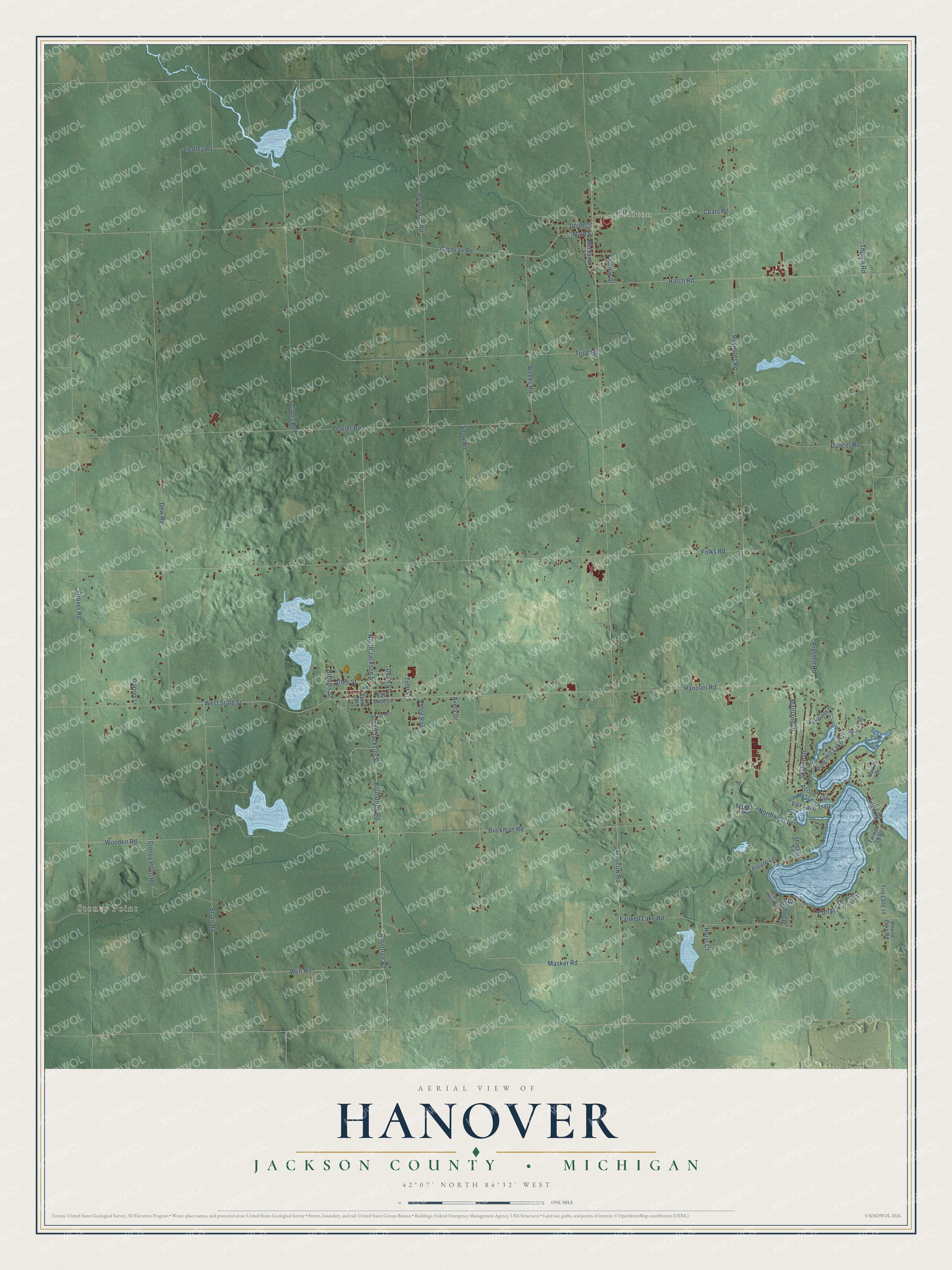
This beautifully detailed map of Hanover, Michigan was created in 2026 using aerial imagery combined with modern topographical, census, street and landmark data. It's a modern aerial view of Hanover in Jackson County, Michigan, that combines modern data with a vintage aesthetic. The roads feature printed names, and if you look closely you can find your exact house accurately shown in its correct location.
Explore an aerial view of Hanover, Michigan
On this map you'll find Stoney Point, Horton, Roundtree Road, South Jackson Street, Rountree Road, Tefft Street, West State Street, Masker Road, Fox Lake Trail, Strait Road, Weeks Road, Cottage Drive, and more. Each red shape is a building, so zoom in on the preview and look for yours.
Hanover has a story worth telling. The History of Jackson County puts it this way: "The township of Hanover is designated in the U. S. survey of the State of Michigan as township 4 south, of range 2 west. It was organized into a separate township in 1836, previous to which time it had been embraced, with the seven other western towns of Jackson county, in one township, under the name of Spring Arbor."
The Census Bureau counted 3,662 people here in 2020.
Take a closer look at the Hanover map
Names on this map
These names are printed on this map.
Places: Stoney Point, Horton and Farwell Lake.
Streets and roads: Roundtree Road, South Jackson Street, Rountree Road, Tefft Street, West State Street, Masker Road, Fox Lake Trail, Strait Road, Weeks Road, Cottage Drive, Northwest Drive, Moscow Road.
More street names, A to Z
Acorn Trail, Allen Street, Ashworth Drive, Avery Drive, Bibbins Street, Bowerman Road, Buckman Road, Coats Road, Cochran Road, Cross Road, Dancer Road, Dan Dell Circle, Dean Street, Dew Road, East State Street, Farview Street, Farwell Lake Road, Farwell Lk Drive, Fire Lane 10, Fire Lane 11, Folks Road, Fowler Road, Grover Road, Hanover Road, Hatch Road, Horst Court, Lake Marie Drive, Leisure Lane, Liedley Road, Little Drive, Main Street, Maitland Drive, Mechanic Street, Merkel Drive, North Jackson Street, Oaktree Lane, Pine Hill Lake Drive, Preston Road, Reiniche Road, Reynolds Road, Ridge Row, Round Lake Road, Seward, Shagbark Lane, Skyline Drive, Snow Road, Spink Street, Stoney Point Road, Thorne Road, Todd Lane, Tripp Road, Union Street, Weir Road, Wooden Road.
Created by KNOWOL in 2026. The buildings are small red shapes, the roads carry their printed names, and shaded relief shows the shape of the land. The title panel reads "AERIAL VIEW OF HANOVER, JACKSON COUNTY • MICHIGAN" with 42°07' NORTH 84°32' WEST.
It looks right in a kitchen, an office or a den, and it's a gift for anyone who grew up in Hanover or moved away. Open the preview and find your street. See sizes and frames for the Hanover, Jackson County map.