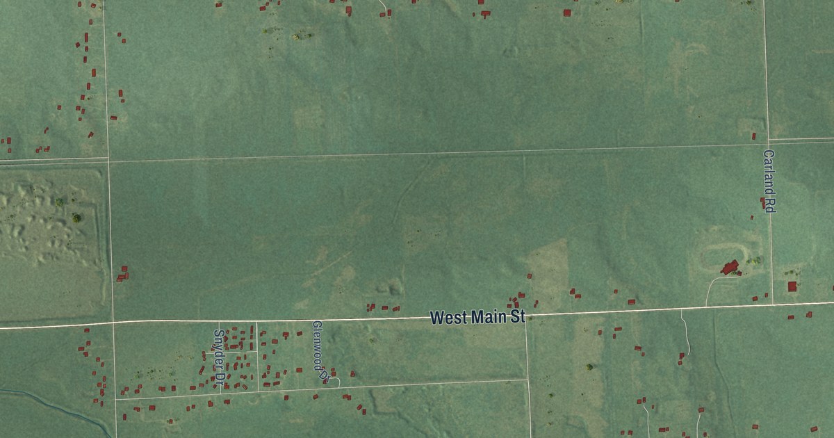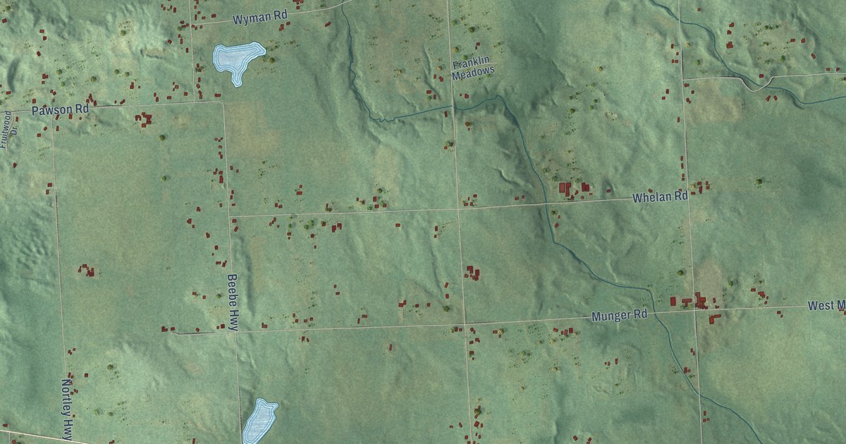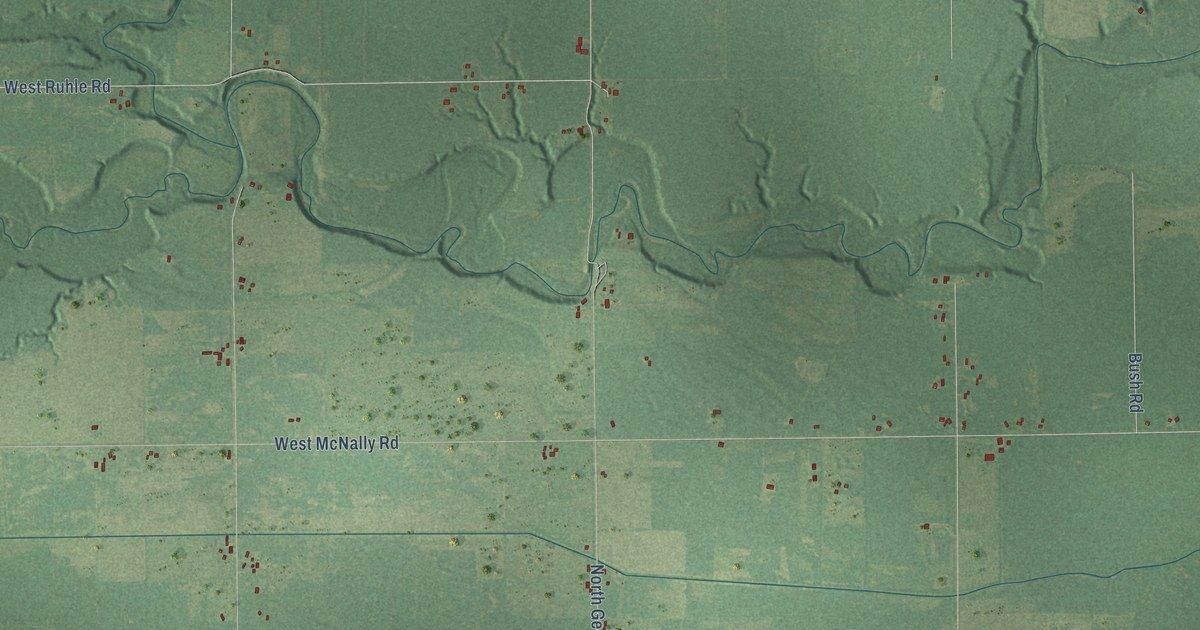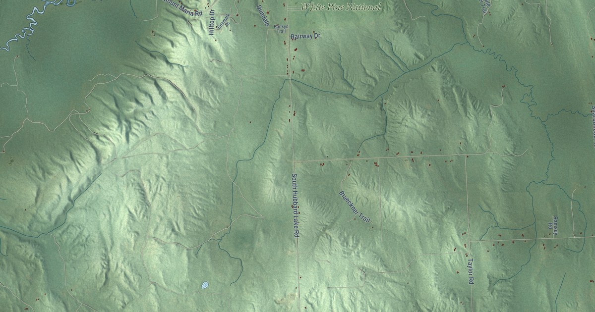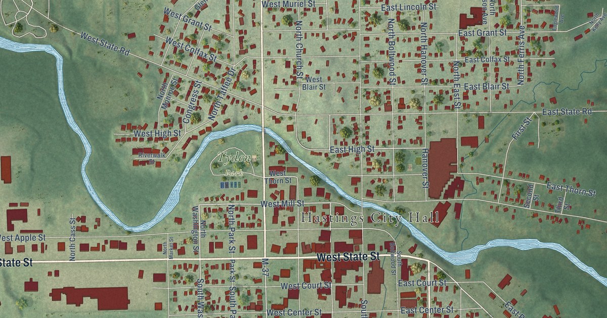
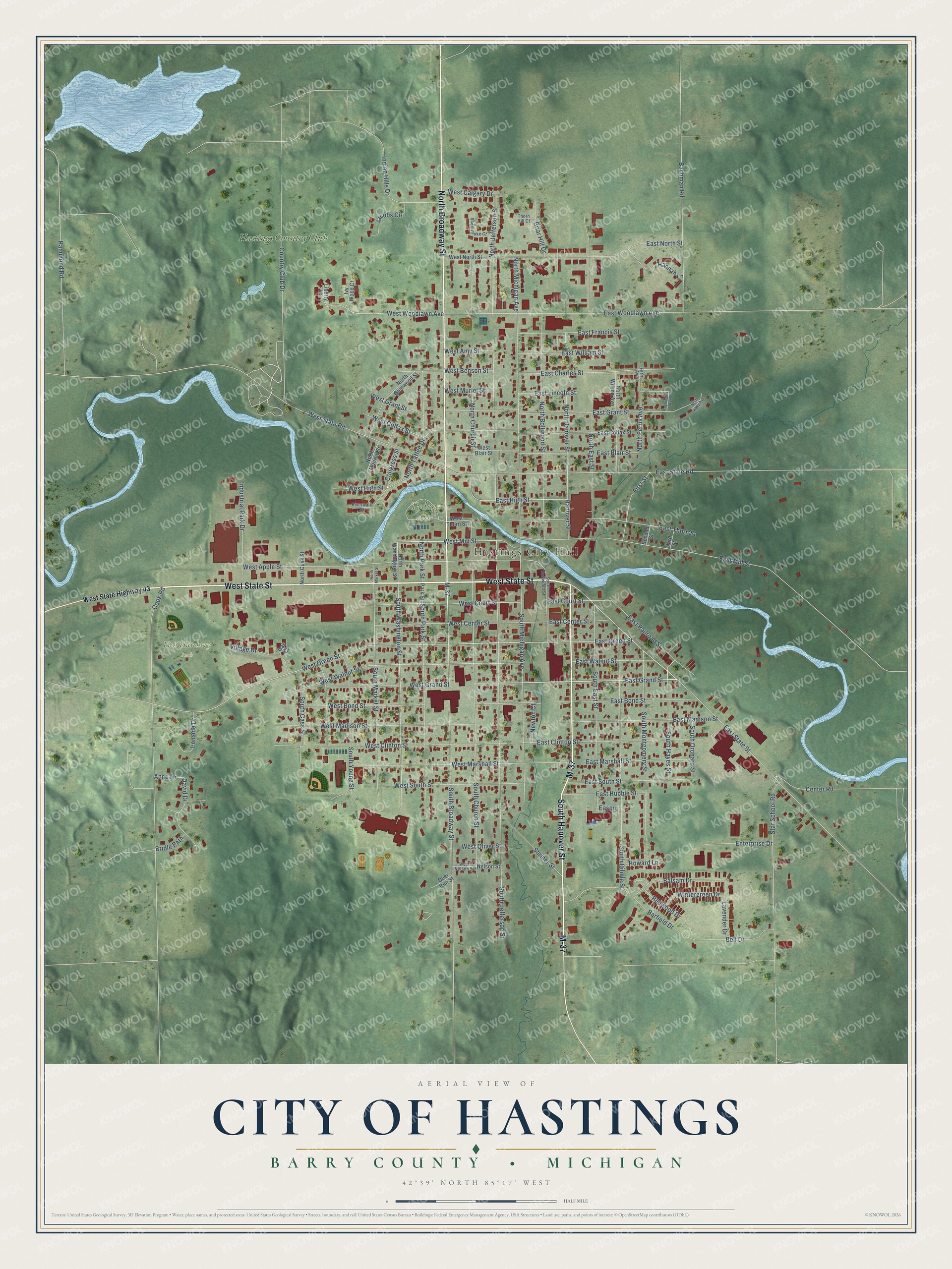
This beautifully detailed map of Hastings, Michigan was created in 2026 using aerial imagery combined with modern topographical, census, street and landmark data. It's a modern aerial view of Hastings in Barry County, Michigan, that combines modern data with a vintage aesthetic. The roads feature printed names, and if you look closely you can find your exact house accurately shown in its correct location.
Explore an aerial view of Hastings, Michigan
On this map you'll find Hastings City Hall, Fish Hatchery Park, Tyden Park, Hastings Country Club, West State Street, North Broadway Street, M-37, South Hanover Street, East State Street, East Grand Street, West Mill Street, North Jefferson Street, and more. Each red shape is a building, so zoom in on the preview and look for yours.
Here is a piece of Hastings history, in the words of the record. The record at arcgis.com puts it this way: "The first Methodist Episcopal Society, the oldest congregation in Hastings, erected this Greek Revival structure in 1860."
Hastings is a city in Barry County. The Census Bureau counted 7,514 people here in 2020.
Take a closer look at the Hastings map
Names on this map
These names are printed on this map.
Places: Hastings City Hall, Fish Hatchery Park, Tyden Park and Hastings Country Club.
Streets and roads: West State Street, North Broadway Street, M-37, South Hanover Street, East State Street, East Grand Street, West Mill Street, North Jefferson Street, East High Street, South Washington Street, South Broadway Street, North Church Street.
More street names, A to Z
Anne Drive, Bachman Road, Balsam Drive, Barfield Drive, Bell Drive, Briar Hill Drive, Bridle Path, Center Road, Congress Street, Cook Road, Country Club Drive, David Drive, Deer Run Street, Eason, East Blair Street, East Bond Street, East Center Street, East Charles Street, East Clinton Street, East Colfax Street, East Court Street, East Francis Street, East Grant Street, East Green Street, East Hubble Street, East Lincoln Street, East Madison Street, East Marshall Street, East Mill Street, East North Street, East Railroad Street, East South Street, East State Road, East Thorn Street, East Walnut Street, East William Street, East Woodlawn Avenue, Englewood Avenue, Enterprise Drive, Ferris Avenue, First Street, Hammond Road, Hannah Lane, Hanover Street, Howard Lane, Indian Hills Drive, Industrial Park Drive, Ironside Drive, Ivy Wood Court, Jacobs Circle, Lavender Drive, Liberty Lane, Nelson Street, Newton Court, North Boltwood Street, North Cass Street, North East Street, North Ferris Avenue, North Glenwood Street, North Hanover Street, North Kelly Avenue, North Market Street, North Michigan Avenue, North Monroe Street, North Park Street, North Taffee Drive, North Washington Street, North Wilson Avenue, Oak Court, Park Street, Redwood Drive, Riverwalk Street, Second Street, Sherbrooke Court, Shriner Street, South Boltwood Street, South Cass Street, South Church Street, South Dibble Street, South East Street, South Hayes Street, South Jefferson Street, South Market Street, South Michigan Avenue, South Montgomery Street, South Orchard Street, South Park Street, South Young Street, Star School Road, Third Street, Thorn Hill Court, Village Drive, West Amy Street, West Apple Street, West Benson Street, West Blair Street, West Bond Street, West Calgary Drive, West Center Street, West Clinton Street, West Colfax Street, West Court Street, West Grand Street, West Grant Street, West Green Street, West High Street, West Madison Street, West Marshall Street, West Muriel Street, West Nelson Street, West North Street, West Oliver Street, West South Street, West State Highway 43, West State Road, West Thorn Street, West Walnut Street, West Woodlawn Avenue, Wintergreen Drive.
Created by KNOWOL in 2026. The buildings are small red shapes, the roads carry their printed names, and shaded relief shows the shape of the land. The title panel reads "AERIAL VIEW OF CITY OF HASTINGS, BARRY COUNTY • MICHIGAN" with 42°39' NORTH 85°17' WEST.
It suits a den, a classroom or a front hall, and it makes a gift for anyone with Hastings roots. Open the preview and find the block you know. See sizes and frames for the Hastings map.