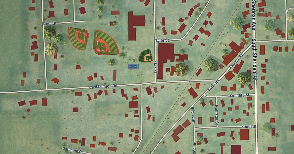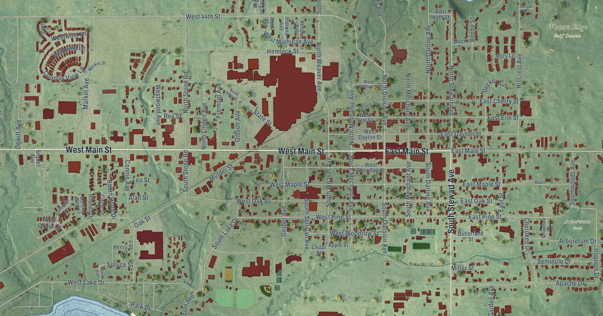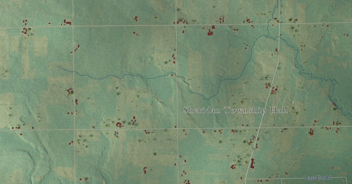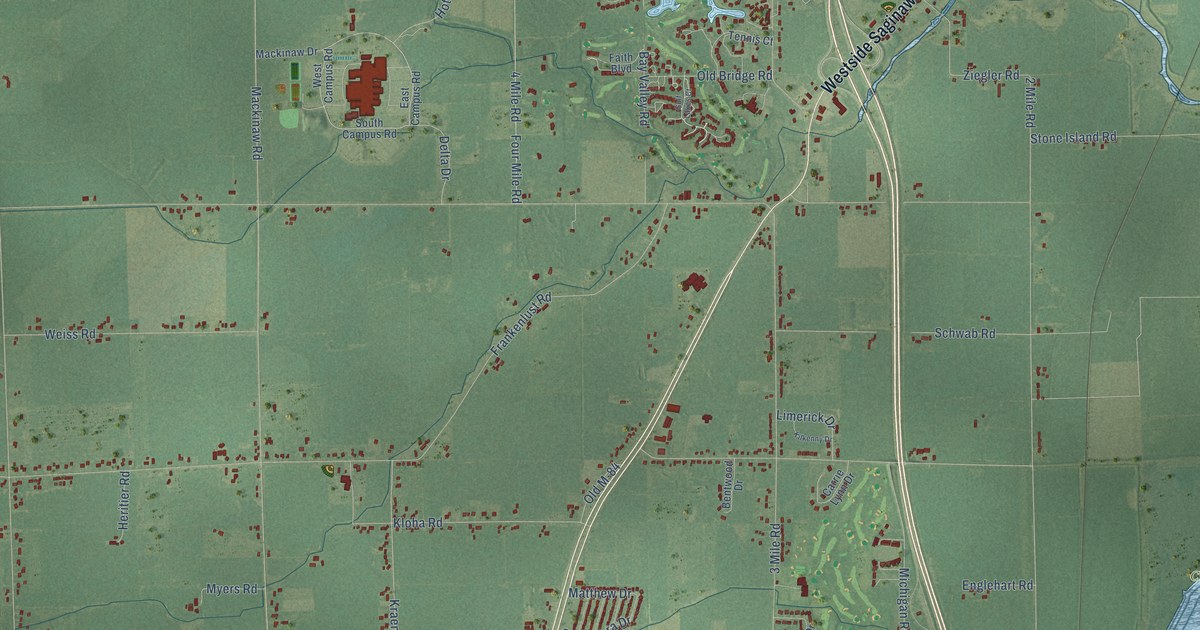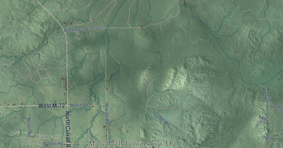
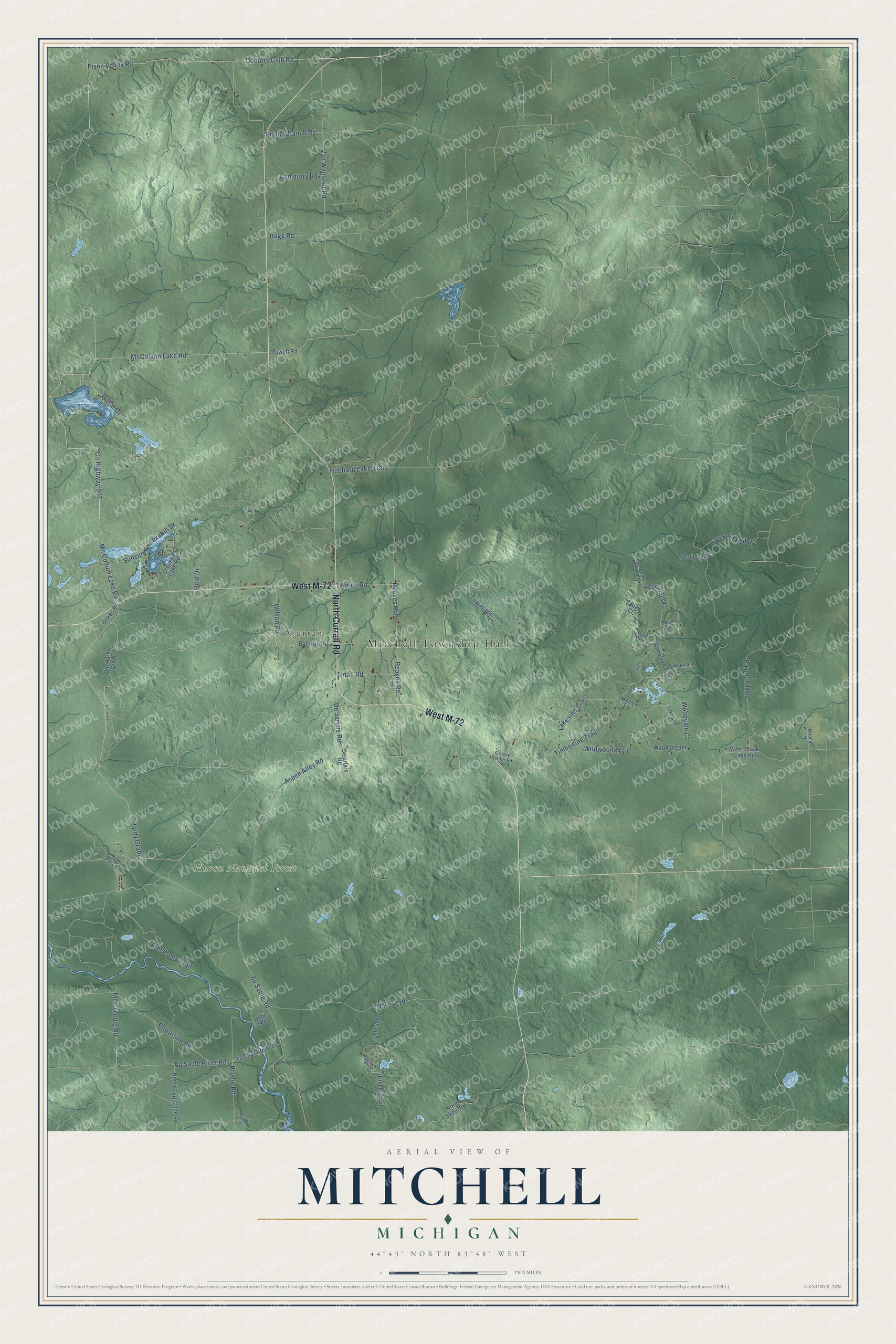
This beautifully detailed map of Mitchell, Michigan was created in 2026 using aerial imagery combined with modern topographical, census, street and landmark data. It's a modern aerial view of Mitchell in Alcona County, Michigan, that combines modern data with a vintage aesthetic. The roads feature printed names, and if you look closely you can find your exact house accurately shown in its correct location.
Explore an aerial view of Mitchell, Michigan
On this map you'll find Mitchell Township Hall, Curran, Huron National Forest, West M-72, North Curran Road, Hardy Grade, Mc Collum Lake Road, Co Highway 607, McCollum Lake Road, Dollar Drive, Flynn Valley Road, Doctors Club Road, and more. Each red shape is a building, so zoom in on the preview and look for yours.
The Census Bureau counted 354 people here in 2020. The map prints the town name in its title panel, with the coordinates below it.
Take a closer look at the Mitchell map
Names on this map
These names are printed on this map.
Places: Mitchell Township Hall, Curran and Huron National Forest.
Streets and roads: West M-72, North Curran Road, Hardy Grade, Mc Collum Lake Road, County Highway 607, McCollum Lake Road, Dollar Drive, Flynn Valley Road, Doctors Club Road, Armstrong Trail, Lakeside Trail, Mc Creedie Road.
More street names, A to Z
Aspen Alley Road, Au Sable River Road, Au Sable Road, Baldwin Road, Beaver Run, Brodie Road, Bugg Road, Cemetery Road, Chin Whisker Trail, Consolidated Road, Crooked Lake Road, Crowell Road, De Jarlais Road, Dejarlais Road, Federal Route 4001, Foothill Drive, Fruhey Ranch Road, Grosse Pointe Road, Held Drive, Hubbard Lake Trail, Lakehill Drive, Lakeside Court, Lakeview Court, North Curtisville Road, North Skeel Road, Northwood Court, Oakes Road, Oak Ridge Drive, Odonnell Road, Old Hardy Grade, Pine Trail, Powerline Road, Raymond Road, Reaves Road, Reeves Road, Small Road, Sunset, Timberline Trail, Timber Trail, Tower Road, Upland Court, Usfs 3966, Usfs 3993, Usfs 4119, Valley Court, Van Wagoner Road, Welch Road, West Lake Circle, West Tait Road, West Trask Lake Road, Wildwood Trail, Wilson Road, Woodland Court, Woodland Trail, Woodstream Court, Woodvale Court.
Created by KNOWOL in 2026. The buildings are small red shapes, the roads carry their printed names, and shaded relief shows the shape of the land. The title panel reads "AERIAL VIEW OF MITCHELL, MICHIGAN" with 44°43' NORTH 83°48' WEST.
It suits a den, a classroom or a front hall, and it makes a gift for anyone with Mitchell roots. Open the preview and find the block you know. See sizes and frames for the Mitchell map.