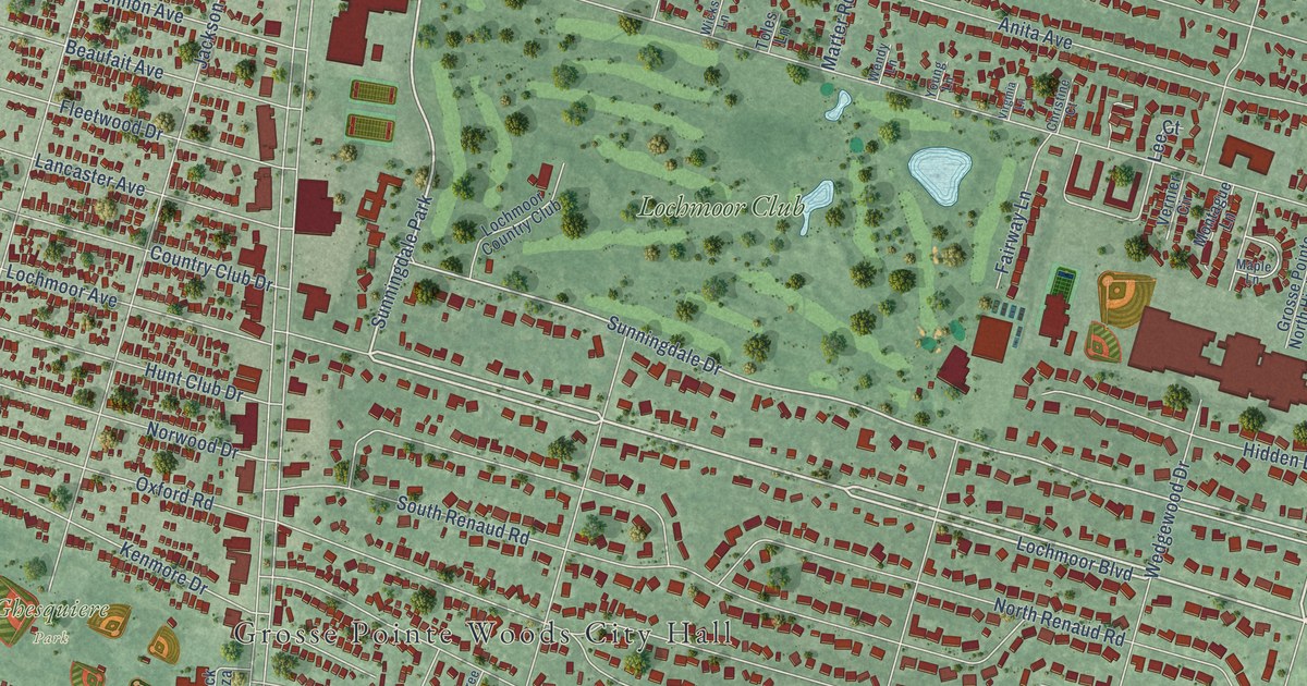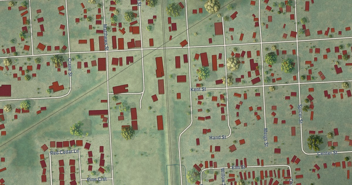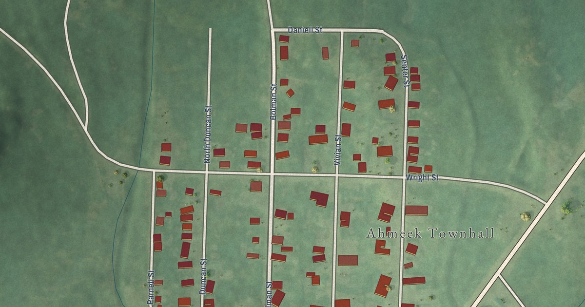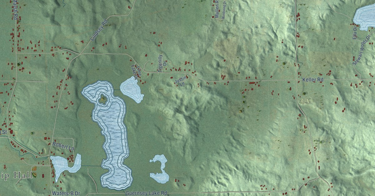
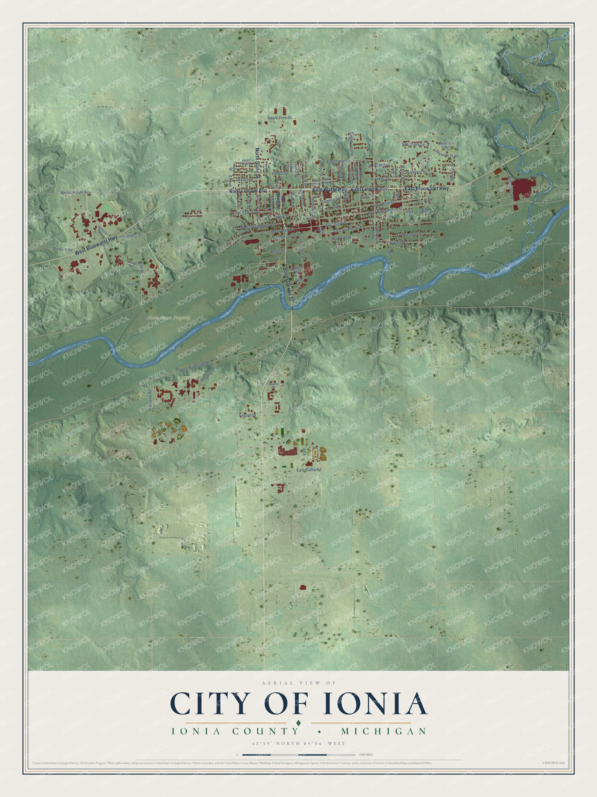
This beautifully detailed map of Ionia, Michigan was created in 2026 using aerial imagery combined with modern topographical, census, street and landmark data. It's a modern aerial view of Ionia in Ionia County, Michigan, that combines modern data with a vintage aesthetic. The roads feature printed names, and if you look closely you can find your exact house accurately shown in its correct location.
Explore an aerial view of Ionia, Michigan
On this map you'll find Main Street Property, North State Street, West Lincoln Avenue, East Lincoln Avenue, Blue Water Highway, South Dexter Street, West Bluewater Highway, East Bluewater Highway, Branch Street, West Main Street, East Main Street, Wall Street, and more. Each red shape is a building, so zoom in on the preview and look for yours.
Every town has a first chapter, and Ionia is no exception. The History of Ionia County puts it this way: "The first frame house built in the city of Ionia was that of Doctor Lincoln, erected in 1834."
Ionia is a city in Ionia County. The Census Bureau counted 13,378 people here in 2020.
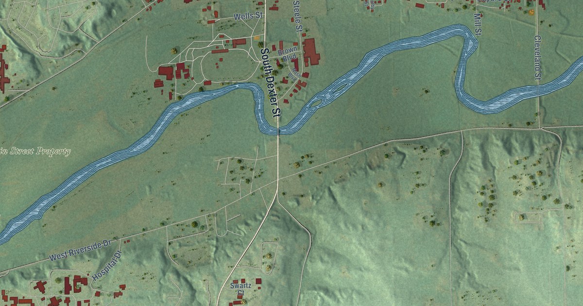
Take a closer look at the Ionia map
Names on this map
These names are printed on this map.
Places: Main Street Property.
Streets and roads: North State Street, West Lincoln Avenue, East Lincoln Avenue, Blue Water Highway, South Dexter Street, West Bluewater Highway, East Bluewater Highway, Branch Street, West Main Street, East Main Street, Wall Street, East Washington Street.
More street names, A to Z
Allen Street, Apple Tree Drive, Bagley Street, Baldie Street, Bayard Street, Beardsley Road, Bliss Street, Brown Boulevard, Center Street, Cleveland Street, Colby Street, Crawford, Cyrus Street, Davis Court, Division Street, East Adams Street, East Fargo Street, East Lytle Street, East Tuttle Road, Forest Street, Foxtail Drive, Gregmark Lane, Hackett Street, Hall Street, Harrison Street, Harter Street, Harwood Road, High Street, Hospital Drive, Jones Street, Kaiser Street, King Street, Lafayette Street, Lawton Street, Louisa Street, Lovell Court, Lovell Street, Mill Street, Morse Street, Nash Boulevard, Nicholson Street, North Dexter Street, North Jackson Street, Oak Street, Park Street, Pearl Street, Pleasant Street, Potters Road, Prospect Street, Railroad Street, Reiger Street, Rice Street, Rich Street, Ridgewood Drive, Roselawn Drive, Seruice Road, Skyview Drive, Skyview Trail, South Jackson Street, South Jefferson Street, South Kidd Street, South Steele Street, Summit Street, Swartz Court, Taylor Court, Tower, Union Street, Wells Street, West Adams Street, West Fargo Street, West Lytle Street, West Riverside Drive, West Washington Street, Whitetail Trail, Wood Avenue, Yeomans Street.
Created by KNOWOL in 2026. The buildings are small red shapes, the roads carry their printed names, and shaded relief shows the shape of the land. The title panel reads "AERIAL VIEW OF CITY OF IONIA, IONIA COUNTY • MICHIGAN" with 42°59' NORTH 85°04' WEST.
Hang it in the hallway, the office or the cabin, or give it to someone who left Ionia and still calls it home. Open the preview and look for a street you know. See sizes and frames for the Ionia map.