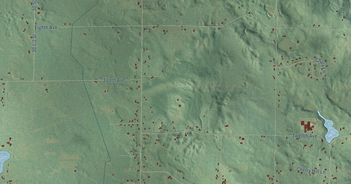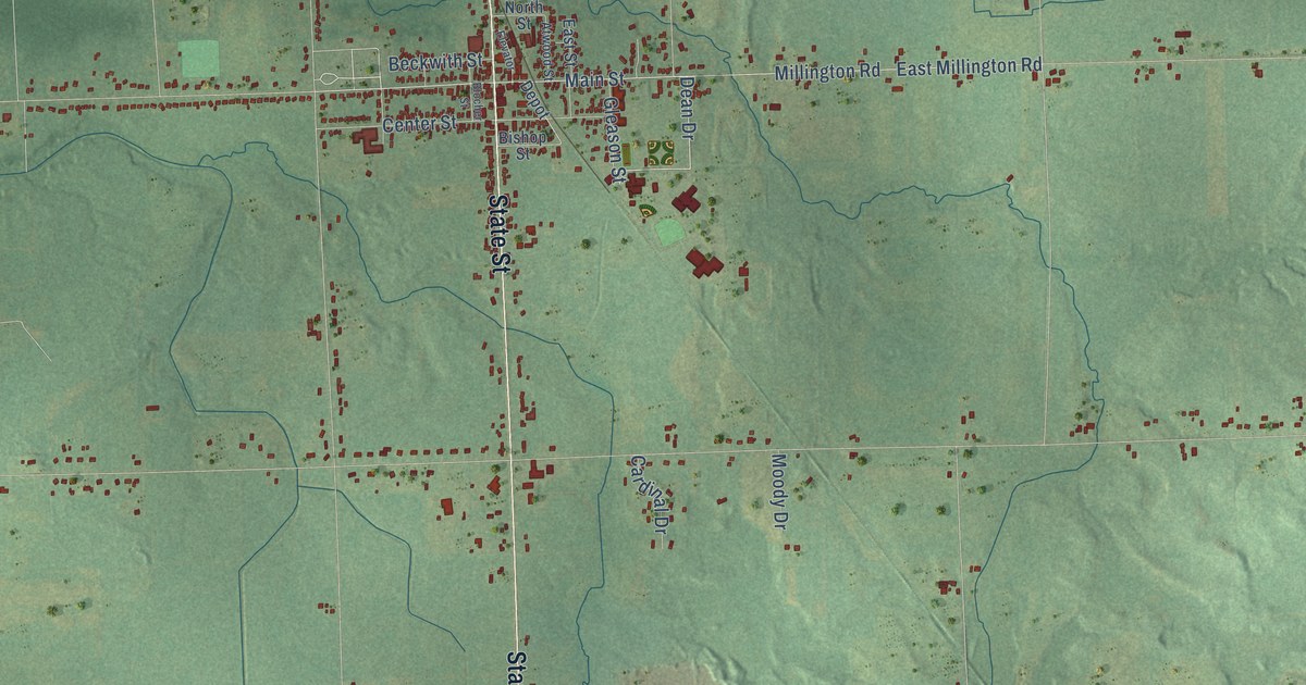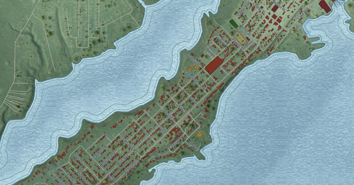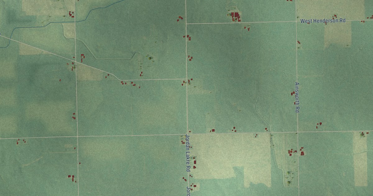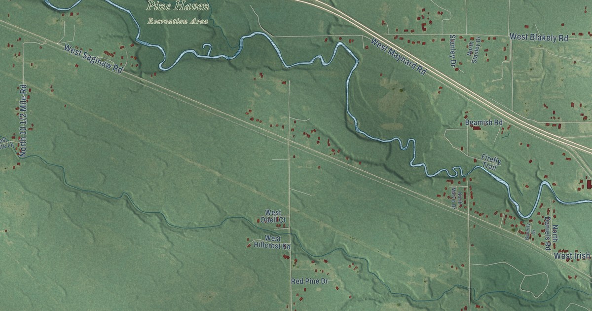
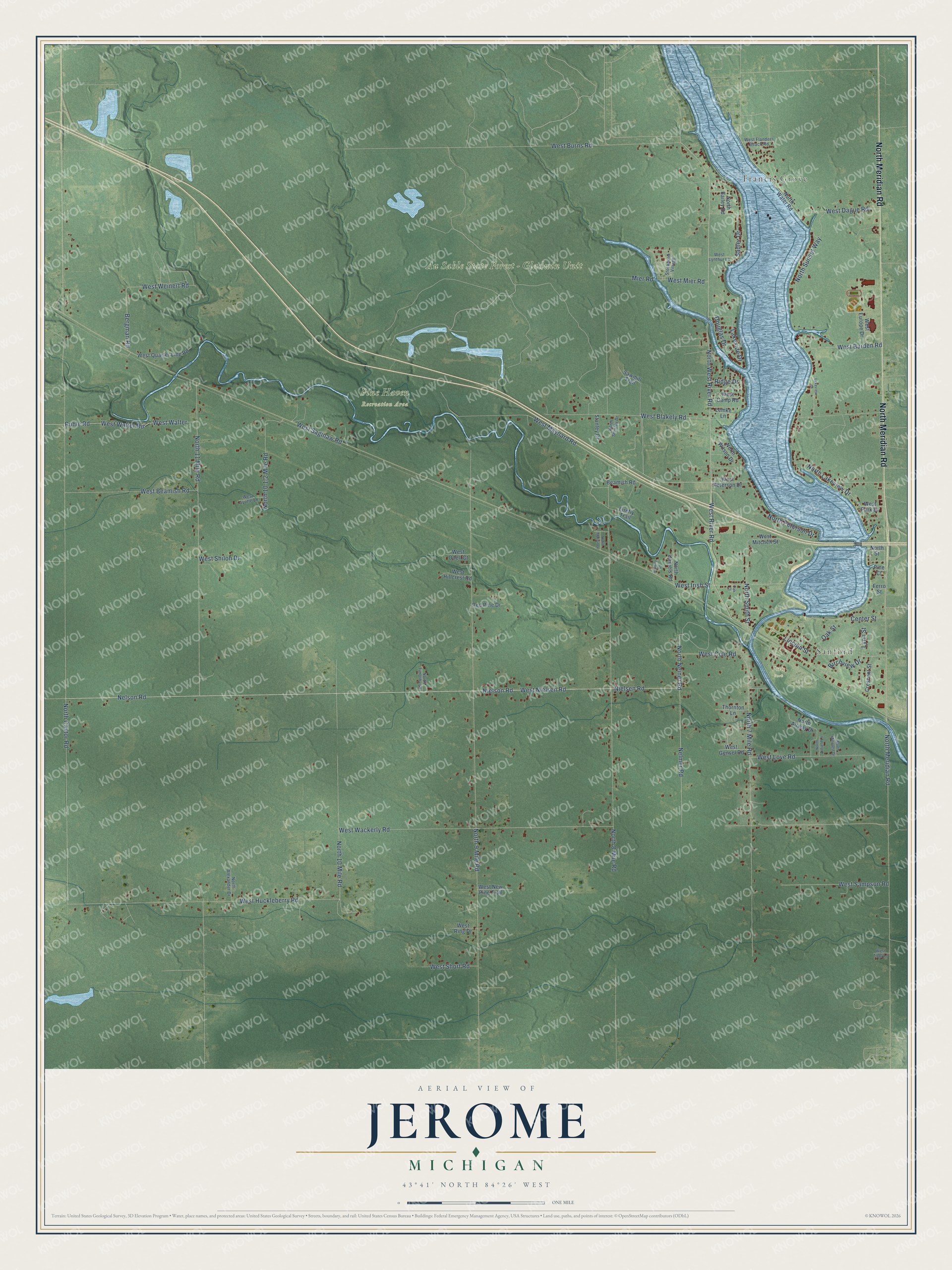
This beautifully detailed map of Jerome, Michigan was created in 2026 using aerial imagery combined with modern topographical, census, street and landmark data. It's a modern aerial view of Jerome in Midland County, Michigan, that combines modern data with a vintage aesthetic. The roads feature printed names, and if you look closely you can find your exact house accurately shown in its correct location.
Explore an aerial view of Jerome, Michigan
On this map you'll find Francis Grove, Sanford, Au Sable State Forest – Gladwin Unit, Pine Haven Recreation Area, Porte Park, North Meridian Road, North West River Road, West Beamish Road, West River Road, Center Street, Nelson Road, West Nielsen Road, and more. Each red shape is a building, so zoom in on the preview and look for yours.
Here is a piece of Jerome history, in the words of the record. The record at arcgis.com puts it this way: "In 1837 when the Michigan legislature met for the first time, it established the state Geological Survey and appointed Douglass Houghton state geologist, a post he held until his death in 1845."
The Census Bureau counted 4,625 people here in 2020.
Take a closer look at the Jerome map
Names on this map
These names are printed on this map.
Places: Francis Grove, Sanford, Au Sable State Forest - Gladwin Unit, Pine Haven Recreation Area and Porte Park.
Streets and roads: North Meridian Road, North West River Road, West Beamish Road, West River Road, Center Street, Nelson Road, West Nielsen Road, Lincoln Street, North Smith Street, North 8 Mile Road, West Weinert Road, West Saginaw Road.
More street names, A to Z
Beamish Road, Bergman Road, Beverly Drive, Birchview Drive, Crescent Street, Douglas Drive, Ferro Street, Firefly Trail, Lakeside Drive, Lakeview Drive, Lemke Lane, Lynn Street, Mier Road, Nelmer Road, Nielsen Road, Nielson Road, North 7 Mile Road, North 9 Mile Road, North 10 Mile Road, North 11 Mile Road, North Airfield Lane, North Airway Drive, North Alexander Drive, North Bailey Road, North Castor Road, North Daniels Road, North Lakeview Drive, North Marvin Drive, North Millcrest Drive, North Neiner Road, North Peterson Drive, North Stanley Drive, North Street, North Sunset Way, North Timothy Lane, North Water Road, North Wilson Drive, Oak Court, Oak Street, Pine Court, Red Pine Drive, Ridge Drive, Ruhle Road, Sadler Drive, Sawmill Trail, Stanley Drive, Stockholm Village, Thornton Lane, West Ayotte Lane, West Barden Road, West Blakely Road, West Burns Road, West Camp Road, West Cole Road, West Dague Road, West Europe Drive, West Flanders Beach Road, West Gensel Road, West Hillcrest Road, West Huckleberry Road, West Irish Street, West Love Road, West Lynthur Lane, West Maynard Road, West Mier Road, West Mitchell Street, West New Pine Trail, West Odell Court, West Park Drive, West Peterson Drive, West Quarter Line Road, West Ring Drive, West Sampson Road, West Shiloh Drive, West Short Road, West Tippy Lane, West Wackerly Road, West Walter, West Walter Road.
Created by KNOWOL in 2026. The buildings are small red shapes, the roads carry their printed names, and shaded relief shows the shape of the land. The title panel reads "AERIAL VIEW OF JEROME, MICHIGAN" with 43°41' NORTH 84°26' WEST.
It suits a den, a classroom or a front hall, and it makes a gift for anyone with Jerome roots. Open the preview and find the block you know. See sizes and frames for the Jerome map.