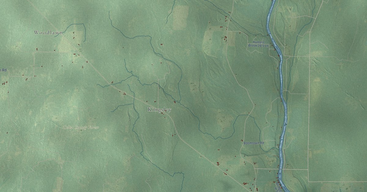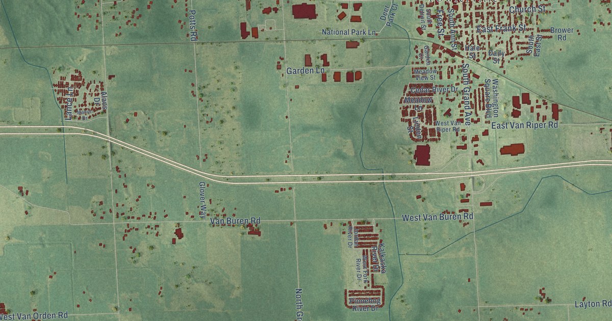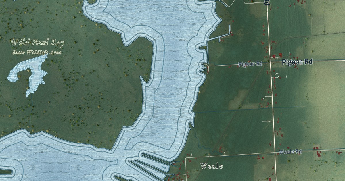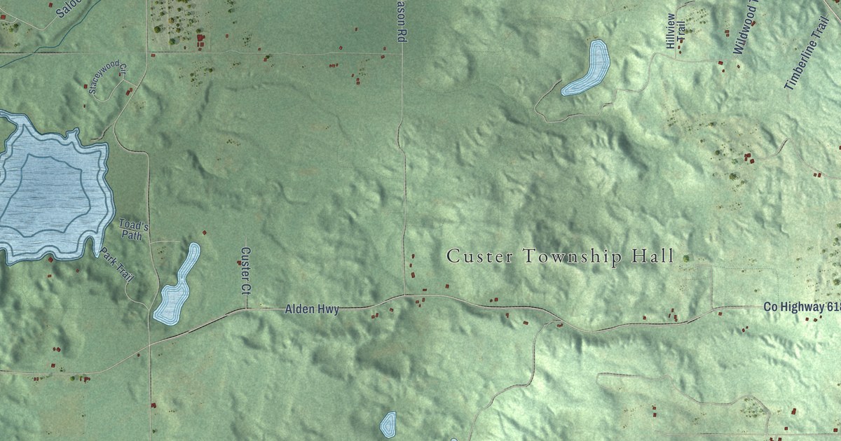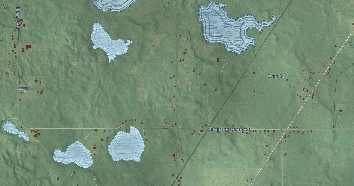
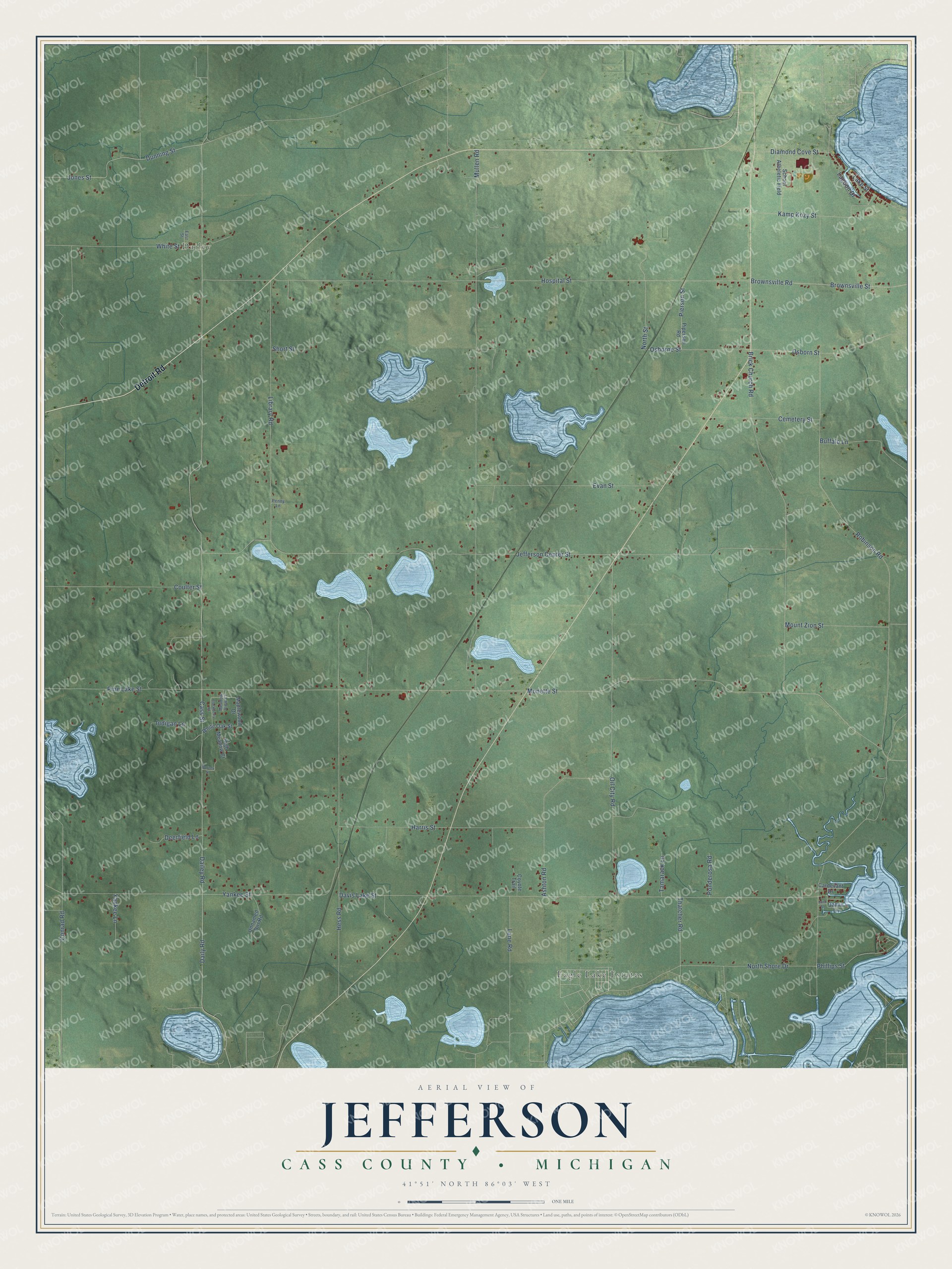
This beautifully detailed map of Jefferson, Michigan was created in 2026 using aerial imagery combined with modern topographical, census, street and landmark data. It's a modern aerial view of Jefferson in Cass County, Michigan, that combines modern data with a vintage aesthetic. The roads feature printed names, and if you look closely you can find your exact house accurately shown in its correct location.
Explore an aerial view of Jefferson, Michigan
On this map you'll find Dailey, Eagle Lake Estates, Detroit Road, Monette Street, North Shore Drive, Cass Street, Dailey Road, Jefferson Center Street, Mullen Road, Hospital Street, Davis Lake Street, Pine Lake Street, and more. Each red shape is a building, so zoom in on the preview and look for yours.
Jefferson has a story worth telling. The History of Cass County puts it this way: "Jefferson Township was settled in October, 1828, by Nathan Norton, Abner Tharp, Moses and William Reames, all of whom made permanent locations except Tharp."
The Census Bureau counted 2,590 people here in 2020.
Take a closer look at the Jefferson map
Names on this map
These names are printed on this map.
Places: Dailey and Eagle Lake Estates.
Streets and roads: Detroit Road, Monette Street, North Shore Drive, Cass Street, Dailey Road, Jefferson Center Street, Mullen Road, Hospital Street, Davis Lake Street, Pine Lake Street, Robinson Road, Hess Road.
More street names, A to Z
Ashton Road, Blackberry Road, Borney Street, Brick Church Road, Brownsville Road, Brownsville Street, Buffalo Lane, Cardevant Drive, Cemetery Street, Conrad Road, Coulter Street, Coyote Trail, Daily Road, Deerfield Lane, Diamond Cove Street, Dunning Street, East Street, Evan Street, Harris Street, High Meadow Court, Indigan Lane, Jamie Lane, Jones Street, Juno Street, Kamp Kozy Street, Lagoon Drive, Lake Street, Lane Road, Library Road, Maplewood Drive, Meadow View Court, Mount Zion Street, North Street, Oil City Road, Osborne Street, Osborn Street, Penny Lane, Phillips Street, Pierson Street, Piperson Road, Ponderosa Road, School Atheletic Field, Short Street, Tamarack Lane, Thatcher Road, Unnamed Dirt Road, White Oak Street, White Street, Yankee Lane, Yankee Street.
Created by KNOWOL in 2026. The buildings are small red shapes, the roads carry their printed names, and shaded relief shows the shape of the land. The title panel reads "AERIAL VIEW OF JEFFERSON, CASS COUNTY • MICHIGAN" with 41°51' NORTH 86°03' WEST.
It looks right in a kitchen, an office or a den, and it's a gift for anyone who grew up in Jefferson or moved away. Open the preview and find your street. See sizes and frames for the Jefferson, Cass County map.