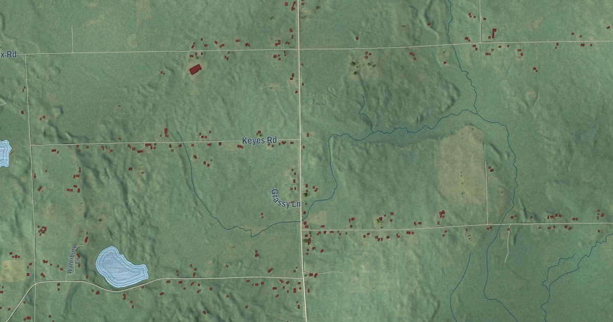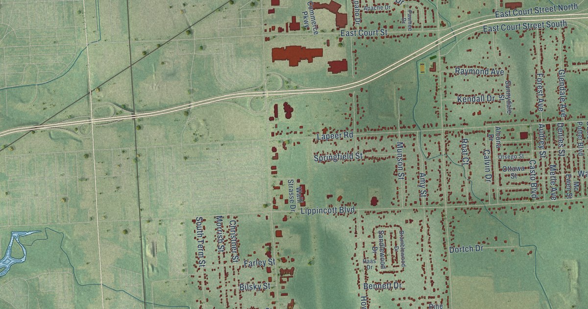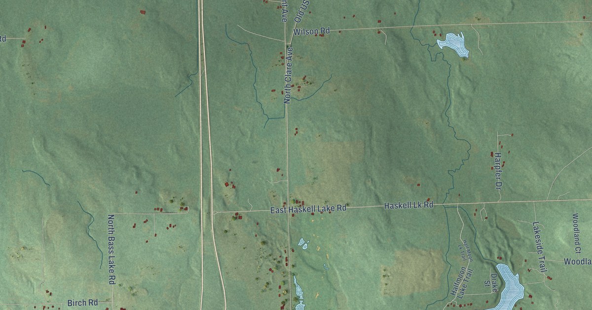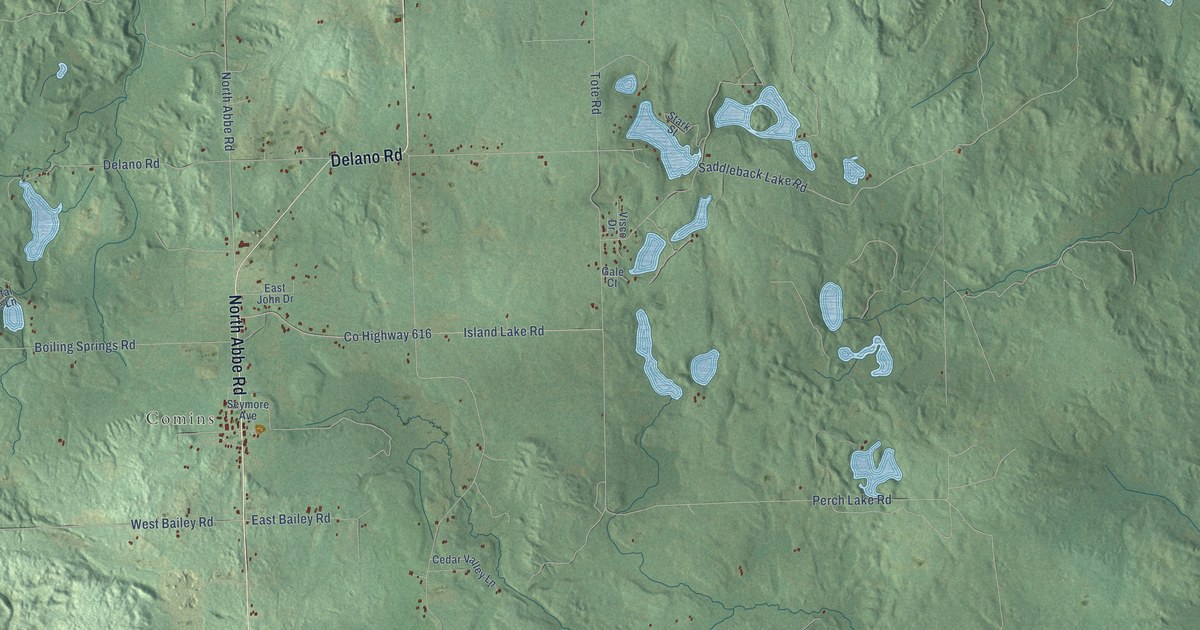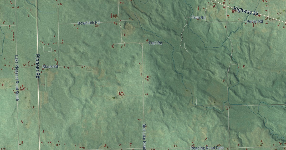
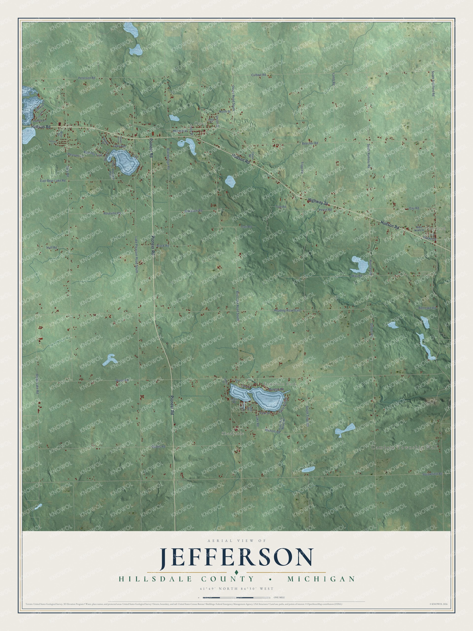
This beautifully detailed map of Jefferson, Michigan was created in 2026 using aerial imagery combined with modern topographical, census, street and landmark data. It's a modern aerial view of Jefferson in Hillsdale County, Michigan, that combines modern data with a vintage aesthetic. The roads feature printed names, and if you look closely you can find your exact house accurately shown in its correct location.
Explore an aerial view of Jefferson, Michigan
On this map you'll find Cambria Township Hall, Pittsford, Osseo, Shadyside, Fountain Park, Hudson Road, Pioneer Road, Highway 34, Lake Pleasant Road South, Bird Lake Road South, Reading Road East, Skuse Road, and more. Each red shape is a building, so zoom in on the preview and look for yours.
Jefferson has a story worth telling. The History of Hillsdale County puts it this way: "The remaining portion of Florida was changed to Jefferson, March 17, 1849, which name it still retains, including township 7 south, range 2 west."
The Census Bureau counted 3,016 people here in 2020.
Take a closer look at the Jefferson map
Names on this map
These names are printed on this map.
Places: Cambria Township Hall, Pittsford, Osseo, Shadyside and Fountain Park.
Streets and roads: Hudson Road, Pioneer Road, Highway 34, Lake Pleasant Road South, Bird Lake Road South, Reading Road East, Skuse Road, South Pittsford Road, Beecher Road, Tripp Road, Doty Road, Rumsey Road.
More street names, A to Z
Ann Street, Baker Street, Bell Lake Road, Blackbridge Road, Black Road, Bowditch Road, Briar Drive, Chase Road, Cole Drive, Culbert Road, Day Road, Early Bird Beach Drive, Early Bird Drive, East Bear Lake Road, Forrest Drive, Gilbert Road, Grass Lake Road, Grove Drive, Huff Road, Johnston Lane, Lacy Street, Lake Avenue, Lake Road, Lake Street, Lamb Road, Lewis Road, Market Street, Monroe Street, Morgan Road, Nichols Road, Nokomis Trail, North Street, Oak Park Drive, Oakwood Drive, Osseo Road South, Park Drive, Perrin Road, Peterson Road, Pleasant Lane, Pleasant Point, Pleasant View Drive, Roseville Road, Rowley Drive, Sanford Lane, Shady Drive, Shady Lane, South Rumsey Road, South Tripp Road, Spotts Road, Tote Road, Trail Road, Union Street, Way Road, West North Street, Whina Drive, Zona Drive.
Created by KNOWOL in 2026. The buildings are small red shapes, the roads carry their printed names, and shaded relief shows the shape of the land. The title panel reads "AERIAL VIEW OF JEFFERSON, HILLSDALE COUNTY • MICHIGAN" with 41°49' NORTH 84°30' WEST.
It looks right in a kitchen, an office or a den, and it's a gift for anyone who grew up in Jefferson or moved away. Open the preview and find your street. See sizes and frames for the Jefferson, Hillsdale County map.