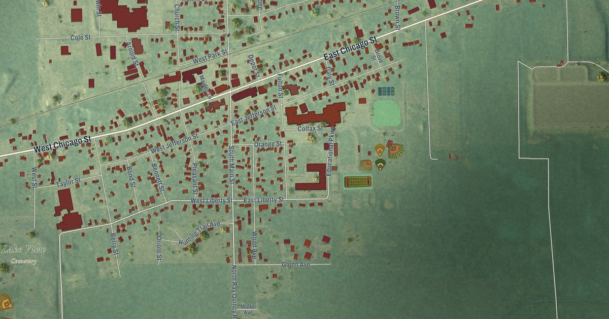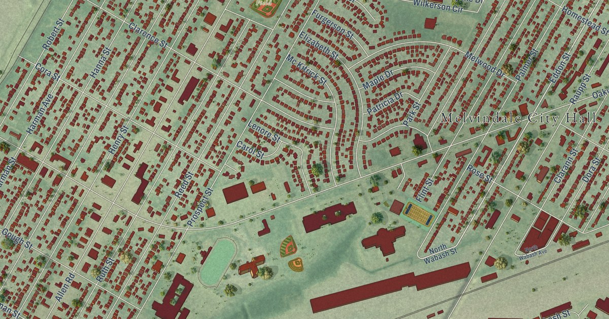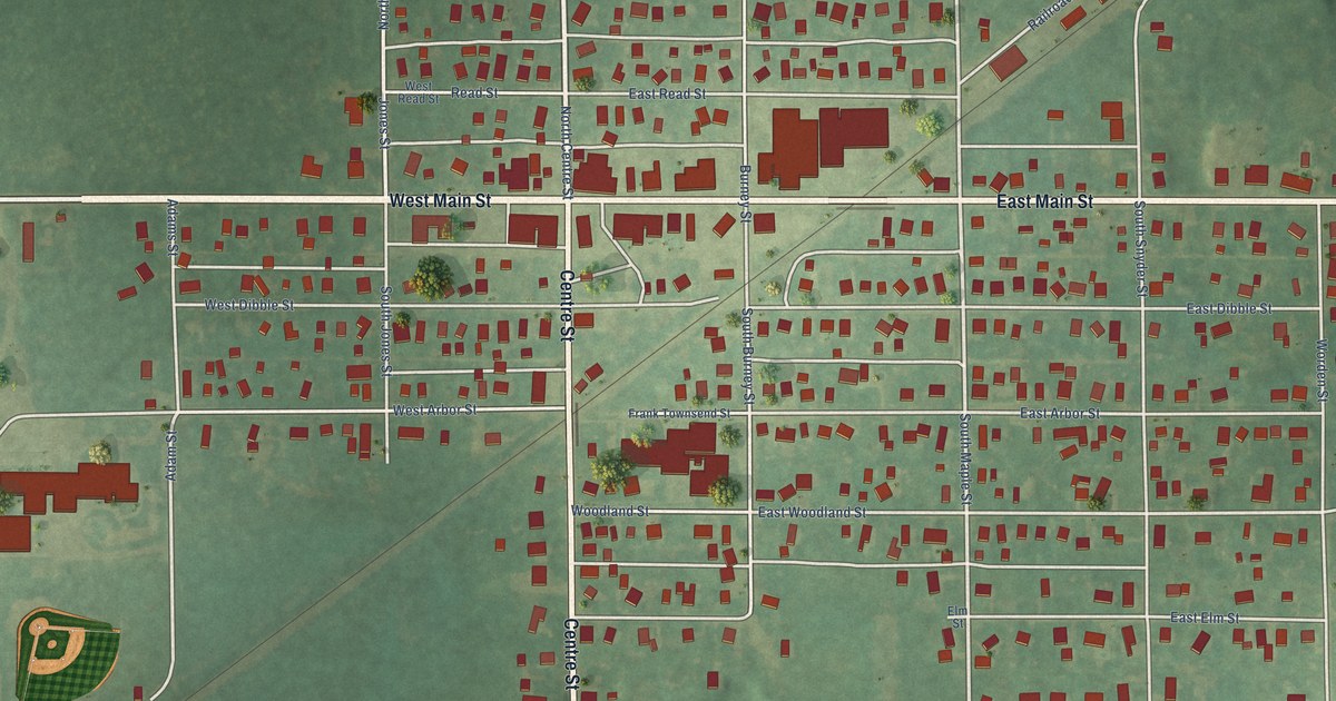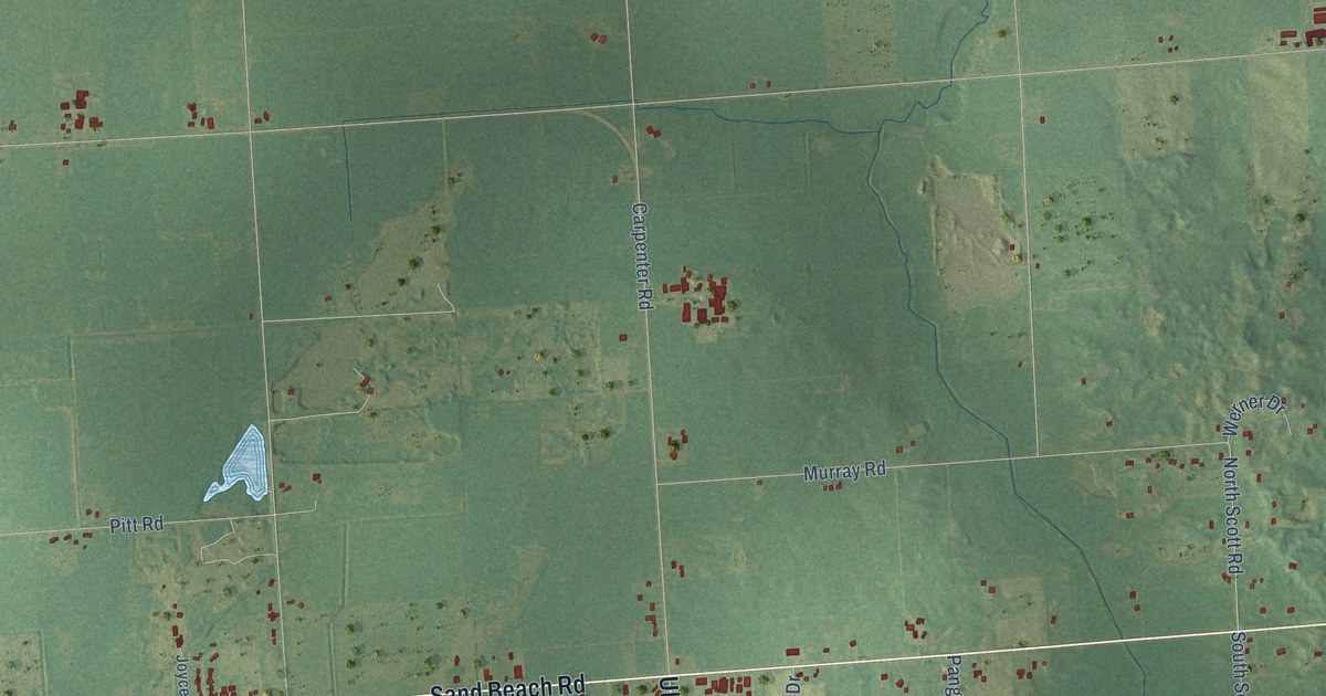
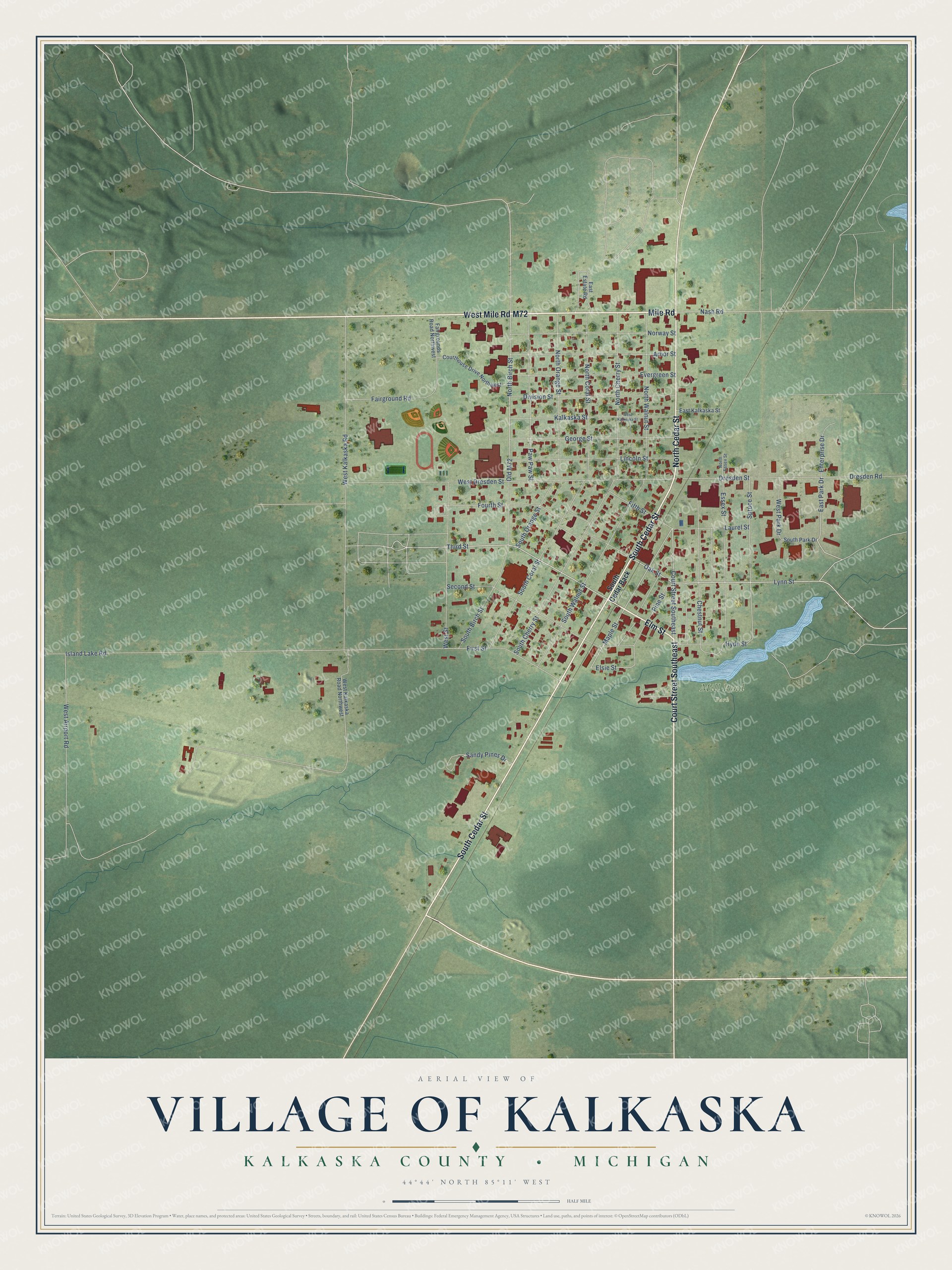
This beautifully detailed map of Kalkaska, Michigan was created in 2026 using aerial imagery combined with modern topographical, census, street and landmark data. It's a modern aerial view of Kalkaska in Kalkaska County, Michigan, that combines modern data with a vintage aesthetic. The roads feature printed names, and if you look closely you can find your exact house accurately shown in its correct location.
Explore an aerial view of Kalkaska, Michigan
On this map you'll find Mill Pond Park, Court Street Southeast, Elm Street, West Mile Road, Mile Road, North Cedar Street, South Cedar Street, M72, Third Street, Oak Street, Lynn Street, Maple Street, and more. Each red shape is a building, so zoom in on the preview and look for yours.
Here is a piece of Kalkaska history, in the words of the record. The Traverse Region puts it this way: "At the same time the mill was building, Charles E. Whitney built a log house which he finished in February and opened as a hotel called the Kalkaska House. During that winter, R. S. Abbott, son of A. A. Abbott, kept a store in a small shanty which he built where the depot now stands."
Kalkaska is a village in Kalkaska County. The Census Bureau counted 2,132 people here in 2020.
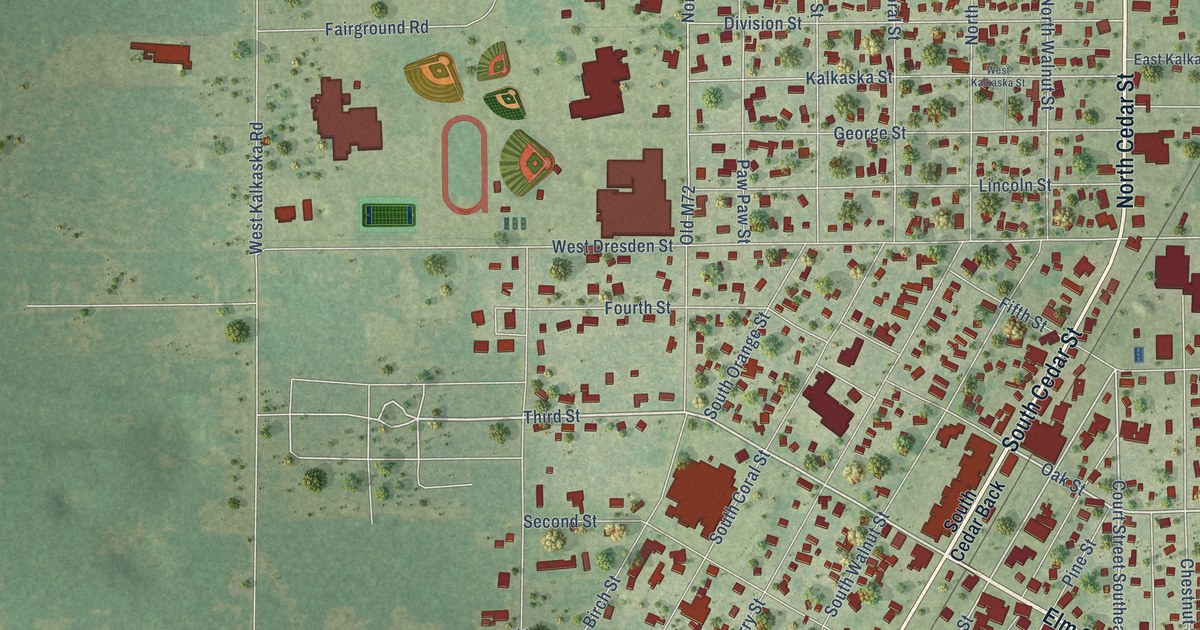
Take a closer look at the Kalkaska map
Names on this map
These names are printed on this map.
Places: Mill Pond Park.
Streets and roads: Court Street Southeast, Elm Street, West Mile Road, Mile Road, North Cedar Street, South Cedar Street, M72, Third Street, Oak Street, Lynn Street, Maple Street, East Park Drive.
More street names, A to Z
Arbor Street, Chestnut Street, Courthouse Drive Northwest, Division Street, Dresden Road, Dresden Street, East Estate Road, East Kalkaska Street, Elsie Street, Enterprise Drive, Essex Street, Evergreen Street, Fairground Road, Fairgrounds Road Northwest, Fifth Street, First Street, Fourth Street, George Street, Hyde Street, Island Lake Road, Kalkaska Street, Laurel Street, Lincoln Street, Nash Road, North Birch Street, North Cherry Street, North Coral Street, North Essex Street, North Orange Street, North Walnut Street, Norway Street, Old M72, Paw Paw Street, Pine Street, Sandy Pines Drive, Second Street, South Birch Street, South Cedar Back, South Cherry Street, South Coral Street, South Orange Street, South Park Drive, South Walnut Street, Spruce Street, West Airport Road, West Dresden Street, West Kalkaska Road, West Kalkaska Road Northwest, West Kalkaska Street, West Park Drive, West Street.
Created by KNOWOL in 2026. The buildings are small red shapes, the roads carry their printed names, and shaded relief shows the shape of the land. The title panel reads "AERIAL VIEW OF VILLAGE OF KALKASKA, KALKASKA COUNTY • MICHIGAN" with 44°44' NORTH 85°11' WEST.
It suits a den, a classroom or a front hall, and it makes a gift for anyone with Kalkaska roots. Open the preview and find the block you know. See sizes and frames for the Kalkaska map.