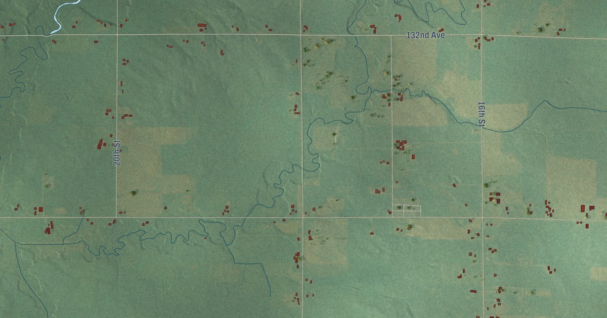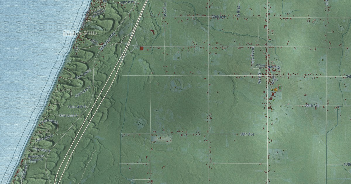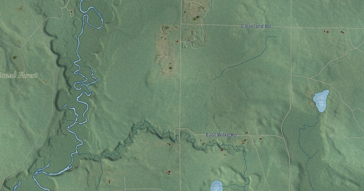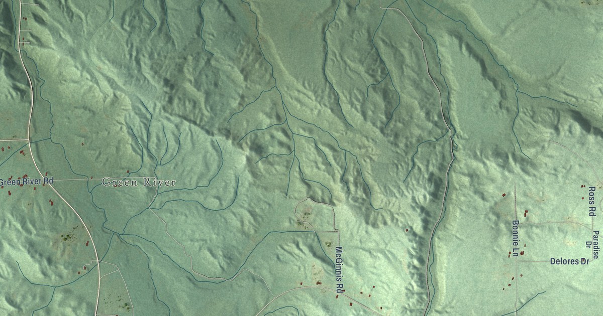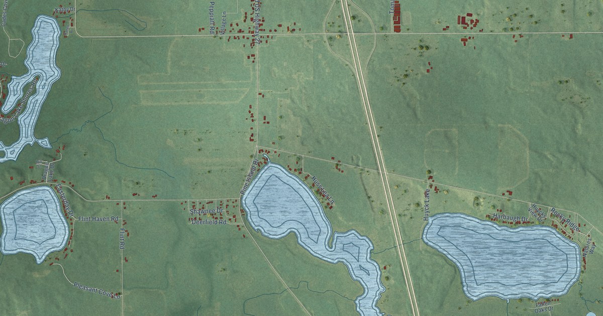
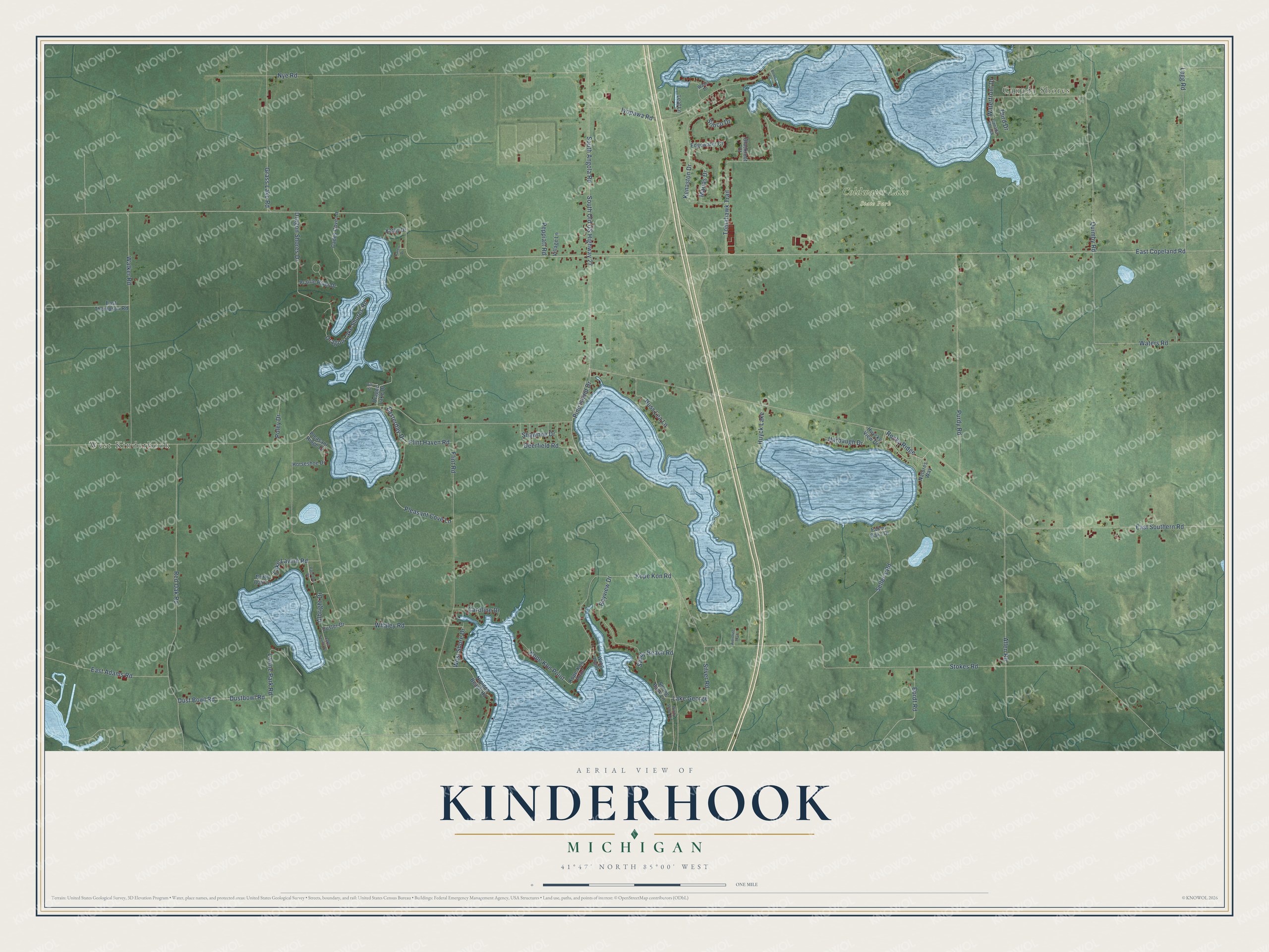
This beautifully detailed map of Kinderhook, Michigan was created in 2026 using aerial imagery combined with modern topographical, census, street and landmark data. It's a modern aerial view of Kinderhook in Branch County, Michigan, that combines modern data with a vintage aesthetic. The roads feature printed names, and if you look closely you can find your exact house accurately shown in its correct location.
Explore an aerial view of Kinderhook, Michigan
On this map you'll find West Kinderhook, Canada Shores, Coldwater Lake State Park, East Copeland Road, Pine Island Drive, West Shore Drive, East Southern Road, South Angola Road, South Old US Highway 27, Stokes Road, Nye Road, Whaley Road, and more. Each red shape is a building, so zoom in on the preview and look for yours.
Kinderhook has a story worth telling. The History of Branch County puts it this way: "In 1836, John Waterhouse came from Fulton, Oswego Co., N. Y., and purchased the land surrounding the present Kinderhook post-office."
The Census Bureau counted 1,427 people here in 2020.
Take a closer look at the Kinderhook map
Names on this map
These names are printed on this map.
Places: West Kinderhook, Canada Shores, Coldwater Lake State Park and Huyck Lake.
Streets and roads: East Copeland Road, Pine Island Drive, West Shore Drive, East Southern Road, South Angola Road, South Old US Highway 27, Stokes Road, Nye Road, Whaley Road, Flint Road, Red Oak Road, Tomahawk Trail.
More street names, A to Z
Albright Drive, Allen Road, Artistree Trail, Bayview Drive, Bemes Lane, Blackfoot Court, Bordt Road, Cades Cove Lane, Caroline Drive, Custer Drive, Deerfield Road, Dragon Lake Drive, Dragon Lake Shores Road, Dragon Shores Drive, Dust Bowl Road, Dustbowl Road, East Adams Road, Easterday Drive, East Thompson Road, Edgewater Court, Fallen Oaks Drive, Flint Haven Road, Grass Lake Road, Harbaugh Drive, Hill Street, Horseshoe Drive, Huss Lea Lane, Huycks View Drive, Iyopawa Road, Karen Drive, Kathy Drive, Kenaston Drive, Kope-Kon Point, Kope Kon Point, Kope Kon Road, Lake George, Lake Lavine Drive, Lake Lavine Road, Lavine Park Road, Leaf Lane, Legg Road, Marias Drive, Natures Way, Nipigon Beach Road, North Oak Lane, Peppiatt Road, Pleasant Cove Lane, Pleasant Ridge Drive, Poley Drive, Prairie River Drive, Purdy Road, Quimby Road, Raccoon Drive, Rocky Ridge, Sandy Beach Road, Seller's Road, Shawnee Drive, Silver Road, Simco Drive, Spring Bank Lane, Third Drive, Village Lane, Walker Road, Wallis Drive, Waterfront Drive, Waters Road, Windy Shore Drive, Wing Point.
Created by KNOWOL in 2026. The buildings are small red shapes, the roads carry their printed names, and shaded relief shows the shape of the land. The title panel reads "AERIAL VIEW OF KINDERHOOK, MICHIGAN" with 41°47' NORTH 85°00' WEST.
It looks right in a kitchen, an office or a den, and it's a gift for anyone who grew up in Kinderhook or moved away. Open the preview and find your street. See sizes and frames for the Kinderhook map.