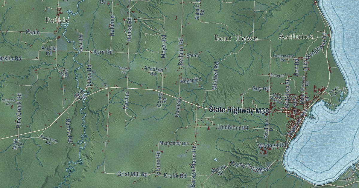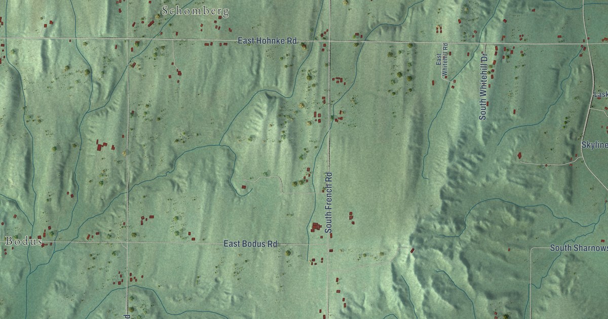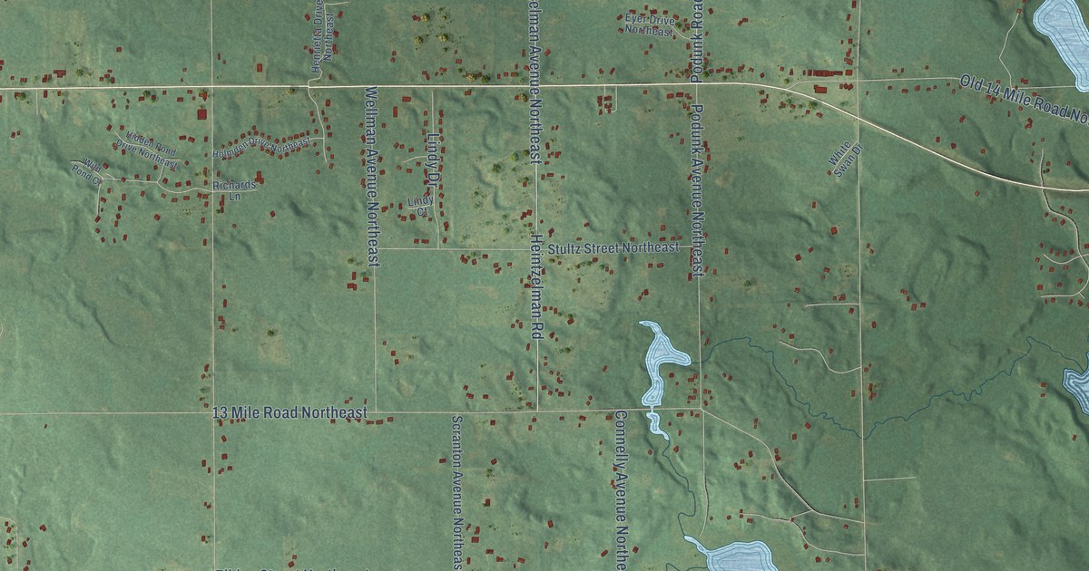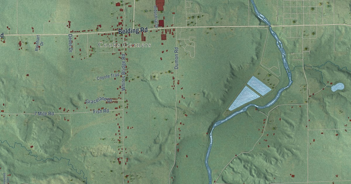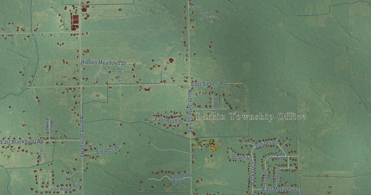
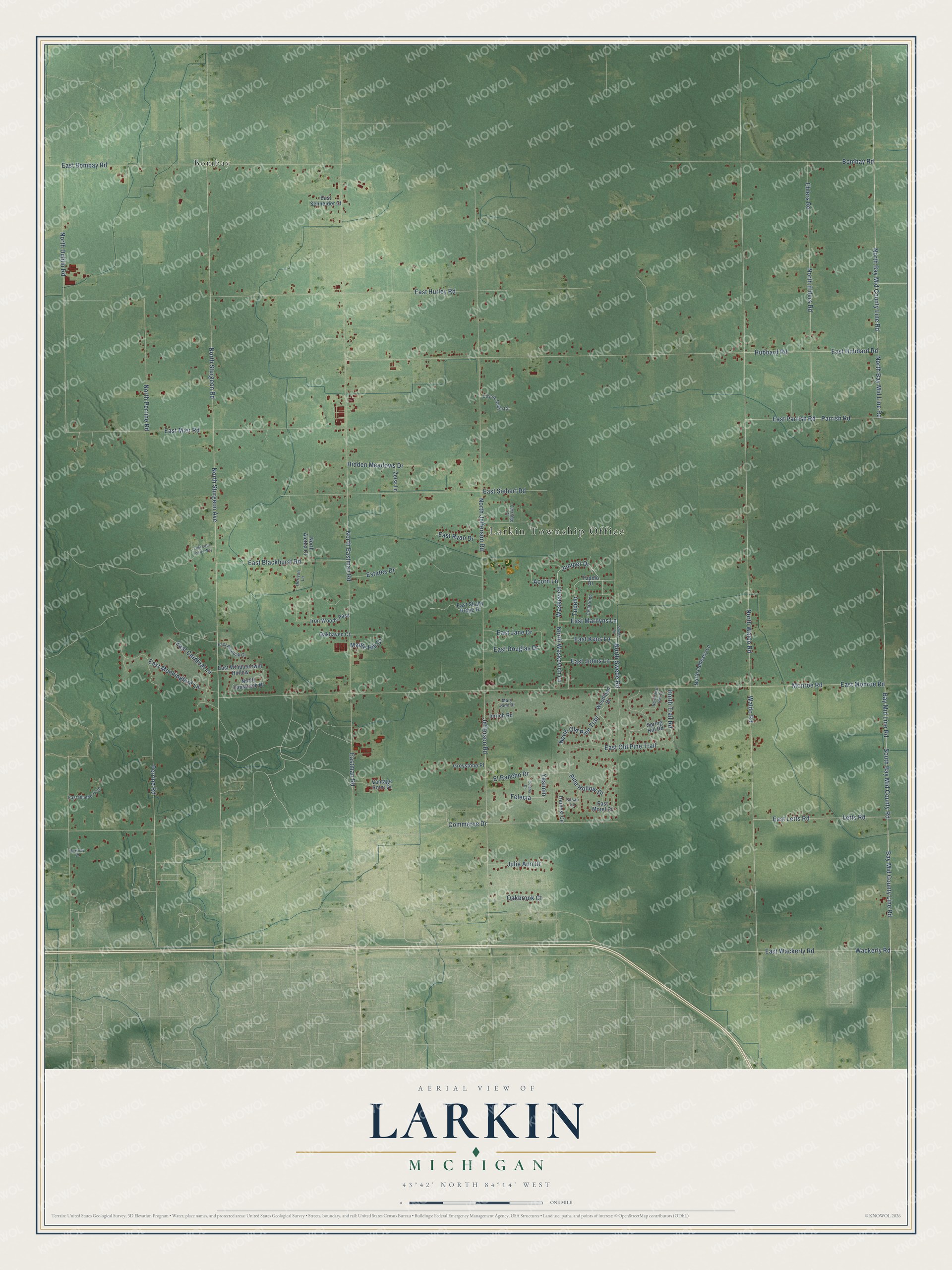
This beautifully detailed map of Larkin, Michigan was created in 2026 using aerial imagery combined with modern topographical, census, street and landmark data. It's a modern aerial view of Larkin in Midland County, Michigan, that combines modern data with a vintage aesthetic. The roads feature printed names, and if you look closely you can find your exact house accurately shown in its correct location.
Explore an aerial view of Larkin, Michigan
On this map you'll find Larkin Township Office, Bombay, Juniper Drive, Waskevich, Parrish Road, Yasimin, Bay Mid County Line Road, Bay Mid Line Road, South Bay Mid County Road, North Perrine Road, East Parrish Road, Commerce Drive, and more. Each red shape is a building, so zoom in on the preview and look for yours.
Every town has a first chapter, and Larkin is no exception. The Biographical Album of Midland County puts it this way: "Larkin was named for John Larkin, a man who has been closely connected with the interests and progress of this county for many years."
The Census Bureau counted 5,331 people here in 2020.
Take a closer look at the Larkin map
Names on this map
These names are printed on this map.
Places: Larkin Township Office and Bombay.
Streets and roads: Juniper Drive, Waskevich, Parrish Road, Yasimin, Bay Mid County Line Road, Bay Mid Line Road, South Bay Mid County Road, North Perrine Road, East Parrish Road, Commerce Drive, North Waldo Road, Waldo Road.
More street names, A to Z
Acorn Lane, Bombay Road, Carriage Court, Cedaridge, Celena Drive, Coyote Ridge Circle, East Blackhurst Road, East Blueberry Lane, East Bombay Road, East Cardinal Lane, East Douglas Drive, East Hubbard Road, East Hurley Road, East Jane Drive, East Johns Lane, East Kens Lane, East Letts Road, East Little Turtle Way, Eastman Road, East Marilyns Lane, East Mier Road, East Mockingbird Lane, East Monroe Road, East Morel Court, East Old Pine Trail, East Pineoak Court, East Ryan Drive, East Schneider Court, East Shady Ridge Drive, East Siebert Road, East Wackerly Road, East Whippoorwill Hollow, Ehlers Road, El Rancho Drive, Estates Drive, Felecia, Greystone Place, Harvest Circle, Hidden Meadows Drive, Horizon Lane, Hubbard Road, Imrich Road, Iron Woods Pass, Jefferson Road, Julie Ann Drive, Letts Road, Maple Hill Court, Mary Jane Drive, Monroe Road, North Aletha Court, North Bay Mid County Line Road, North Bay Mid Line Road, North Dublin Road, North Eastman Road, North Ehlers Road, North Jefferson Road, North Oddessy Lane, North Old Pine Trail, North Quail Run Drive, North Sturgeon Avenue, North Sturgeon Road, North Swede Road, North Tamarack Drive, North Trail Road, North Waskevich Lane, Oakbrook Court, Oakhaven Court, Perrine Road, Pine Hollow Drive, Roxbury Court, Spring Hill Road, Susan Lane, Swede Road, Tupelo, Tupelo Drive, Vantage Point Drive, Wackerly Road, Woodland Drive, Zeiss Lane.
See it on a wall
The Larkin map as a framed print. Swipe for more.


Created by KNOWOL in 2026. The buildings are small red shapes, the roads carry their printed names, and shaded relief shows the shape of the land. The title panel reads "AERIAL VIEW OF LARKIN, MICHIGAN" with 43°42' NORTH 84°14' WEST.
Hang it in the hallway, the office or the cabin, or give it to someone who left Larkin and still calls it home. Open the preview and look for a street you know. See sizes and frames for the Larkin map.