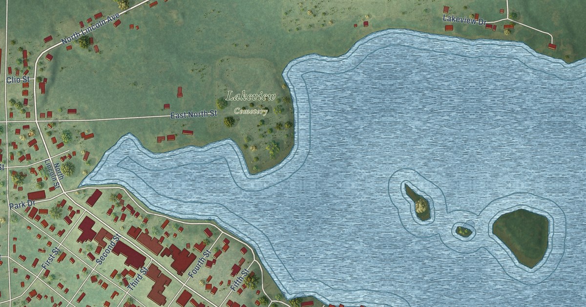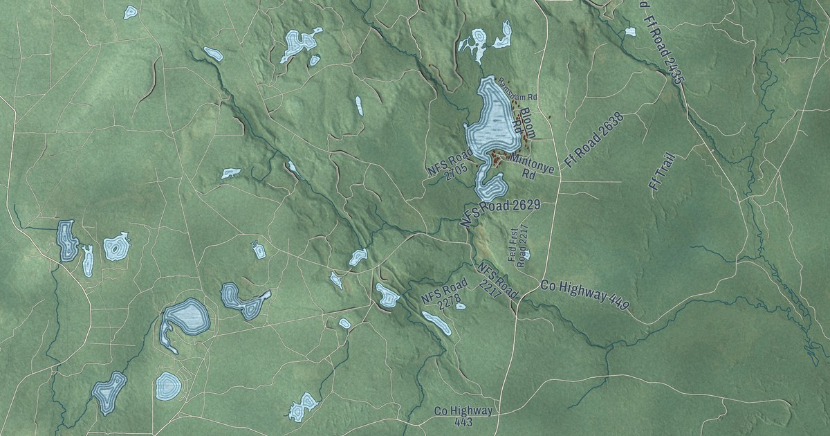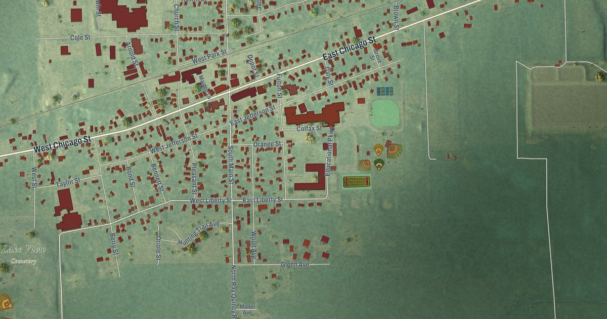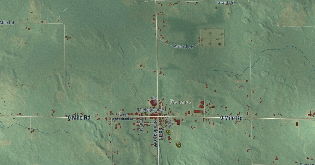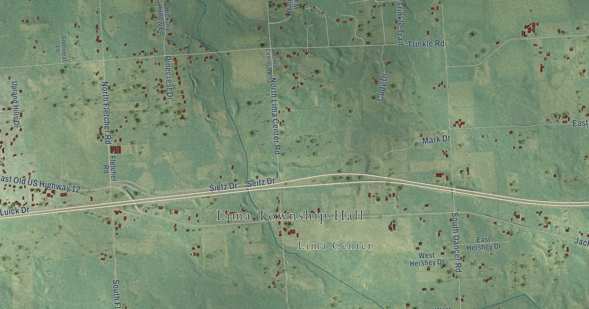
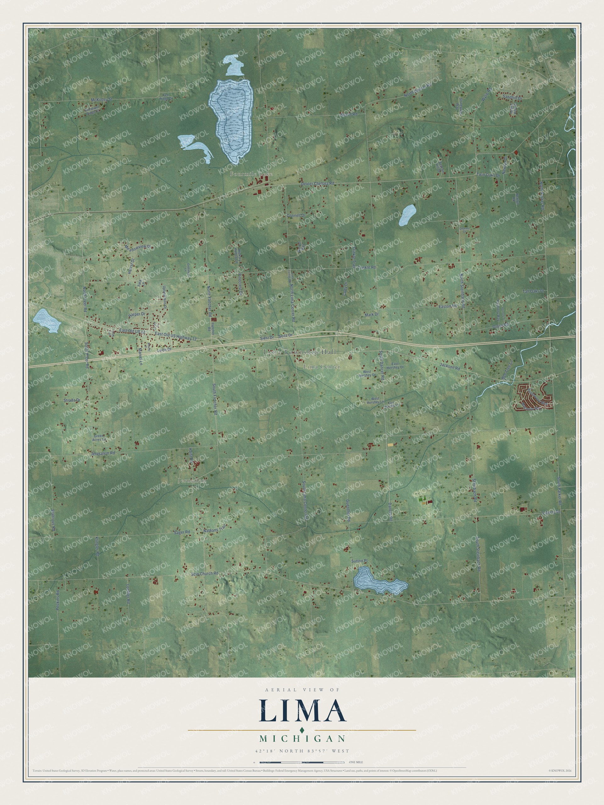
This beautifully detailed map of Lima, Michigan was created in 2026 using aerial imagery combined with modern topographical, census, street and landmark data. It's a modern aerial view of Lima in Washtenaw County, Michigan, that combines modern data with a vintage aesthetic. The roads feature printed names, and if you look closely you can find your exact house accurately shown in its correct location.
Explore an aerial view of Lima, Michigan
On this map you'll find Lima Township Hall, Fourmile Lake, Jerusalem, Lima Center, Dexter Chelsea Road, North Steinbach Road, Sietz Drive, South Dancer Road, North Freer Road, Dancer Road, McKinley Street, East Old US 12, and more. Each red shape is a building, so zoom in on the preview and look for yours.
Lima has a story worth telling. The History of Washtenaw County puts it this way: "The first school-house was built at Lima Center, in 1835. The first blacksmith at Lima Center, was Calvin Chipman, who built a shop in 1832."
The Census Bureau counted 4,024 people here in 2020.
Take a closer look at the Lima map
Names on this map
These names are printed on this map.
Places: Lima Township Hall, Fourmile Lake, Jerusalem and Lima Center.
Streets and roads: Dexter Chelsea Road, North Steinbach Road, Sietz Drive, South Dancer Road, North Freer Road, Dancer Road, McKinley Street, East Old US 12, East Old US Highway 12, Scio Church Road, Jerusalem Road, Trinkle Road.
More street names, A to Z
Beach Road, Beacon Hill Drive, Beechwood Boulevard, Bee Tree Lane, Charles Court, Cody Drive, Connell Drive, East Hershey Drive, East Hershey Lane, Easton Road, Fen Ridge Drive, Fletcher Road, Fox Hills Court, Green Acres Lane, Greenleaf Lane, Gross Road, Guenther Road, Haist Road, Harmony Drive, Harmony Way, Harper Drive, Herrst Drive, Hickory Hollow Lane, Island Hills Drive, Jackson Road, Klingler Road, Liberty Road, Lima Center Road, Loeffler Road, Luick Drive, Magnolia Way, Mark Drive, Marvel Lane, Meadowview Drive, Miracle Drive, Nathans Trail, Newlyn Drive, Newlyn Road, North Dancer Road, North Fletcher Road, North Lima Center Road, North Parker Road, Peckins Road, Pheasant Ridge Court, Pinecrest Drive, Sager Road, Sandhill Drive, Seitz Drive, South Fletcher Road, South Freer Road, South Lima Center Road, South Parker Road, South Steinbach Road, Steinbach Road, Stonewater Way, Strada Drive, Sutton Place, Tall Oaks Drive, Tara Lane, Trinkle Trail, Tuttles Trail, Twin Oaks Drive, Upland Hills Drive, Walnut Way, Waltrous Road, West Hershey Drive, West Hershey Lane, Wylie Road.
Created by KNOWOL in 2026. The buildings are small red shapes, the roads carry their printed names, and shaded relief shows the shape of the land. The title panel reads "AERIAL VIEW OF LIMA, MICHIGAN" with 42°18' NORTH 83°57' WEST.
It looks right in a kitchen, an office or a den, and it's a gift for anyone who grew up in Lima or moved away. Open the preview and find your street. See sizes and frames for the Lima map.