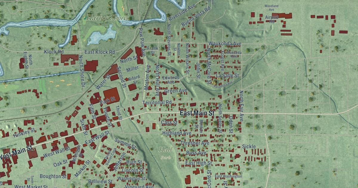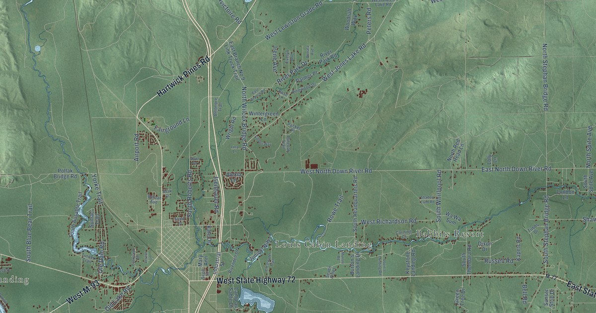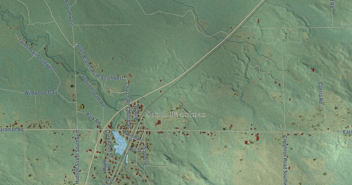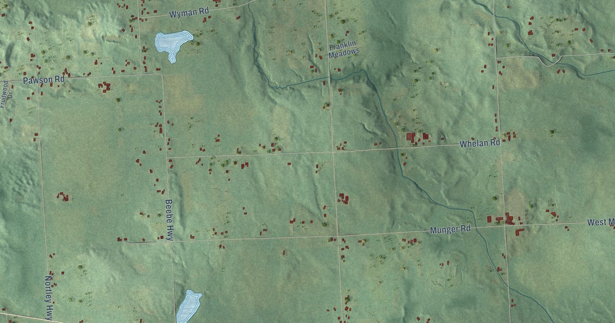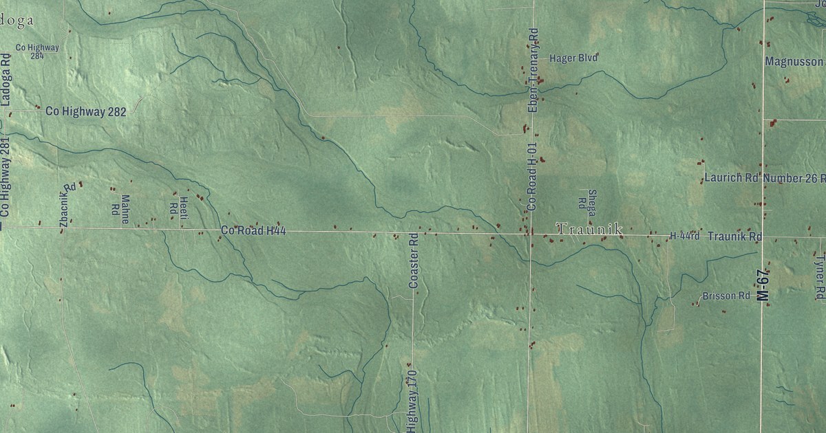
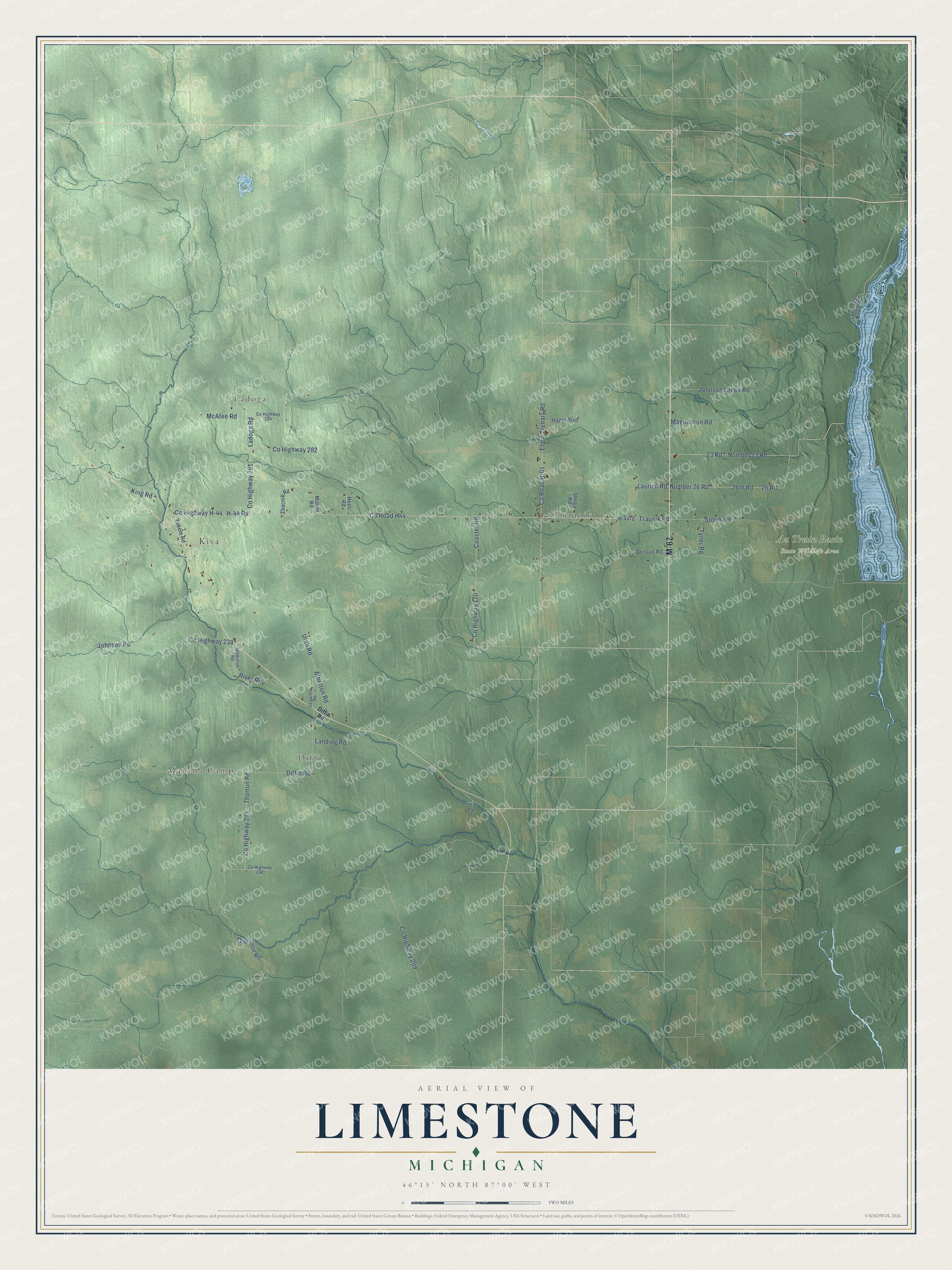
This beautifully detailed map of Limestone, Michigan was created in 2026 using aerial imagery combined with modern topographical, census, street and landmark data. It's a modern aerial view of Limestone in Alger County, Michigan, that combines modern data with a vintage aesthetic. The roads feature printed names, and if you look closely you can find your exact house accurately shown in its correct location.
Explore an aerial view of Limestone, Michigan
On this map you'll find Traunik, Mantila Camp, Diffin, Ladoga, Au Train Basin State Wildlife Area, Kiva, M-67, Co Highway H-44, Traunik Road, Co Road H44, 23 Road, Coaster Road, and more. Each red shape is a building, so zoom in on the preview and look for yours.
Limestone has a story worth telling. The record at arcgis.com puts it this way: "Traunik was the heart of a large ethnic community that developed in the early 1900s, when Slovenians who cut timber settled on the cutover land."
The Census Bureau counted 392 people here in 2020.
Take a closer look at the Limestone map
Names on this map
These names are printed on this map.
Places: Traunik, Mantila Camp, Diffin, Ladoga, Au Train Basin State Wildlife Area and Kiva.
Streets and roads: M-67, County Highway H-44, Traunik Road, County Road H44, 23 Road, Coaster Road, H-44 Road, County Highway 170, Number 23 Road, County Road H-01, Number 26 Road, 26 Road.
More street names, A to Z
26th Road, Atherton Road, Brisson Road, County Highway 201, County Highway 209, County Highway 222, County Highway 238, County Highway 281, County Highway 282, County Highway 284, Degarmo Road, Diffin Road, Eben-Trenary Road, H-44rd, Hager Boulevard, Heeti Road, Johnson Creek Road, Johnson Road, King Road, Ladoga Road, Landing Road, Laurich Road, Magnusson Road, Mahne Road, McAfee Road, River Road, Saari Road, Shega Road, South Samuelson Road, Storage Basin Road, Storm Road, Thornton Road, Thorton Road, Tyner Road, Utah Road, Whitefish Road, Yokem Road, Zbacnik Road.
Created by KNOWOL in 2026. The buildings are small red shapes, the roads carry their printed names, and shaded relief shows the shape of the land. The title panel reads "AERIAL VIEW OF LIMESTONE, MICHIGAN" with 46°15' NORTH 87°00' WEST.
It looks right in a kitchen, an office or a den, and it's a gift for anyone who grew up in Limestone or moved away. Open the preview and find your street. See sizes and frames for the Limestone map.