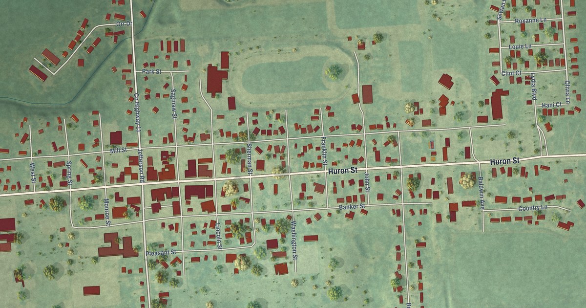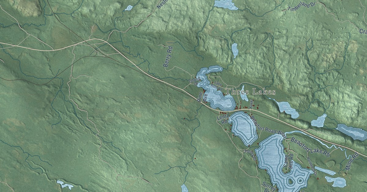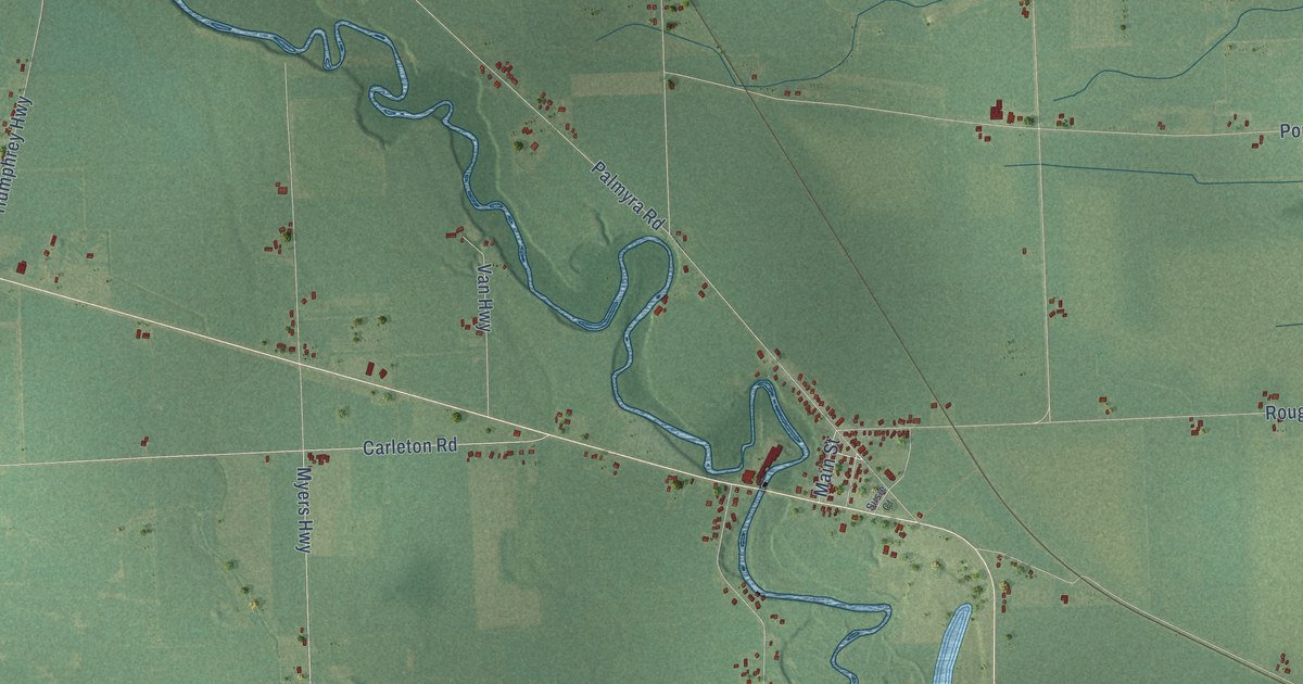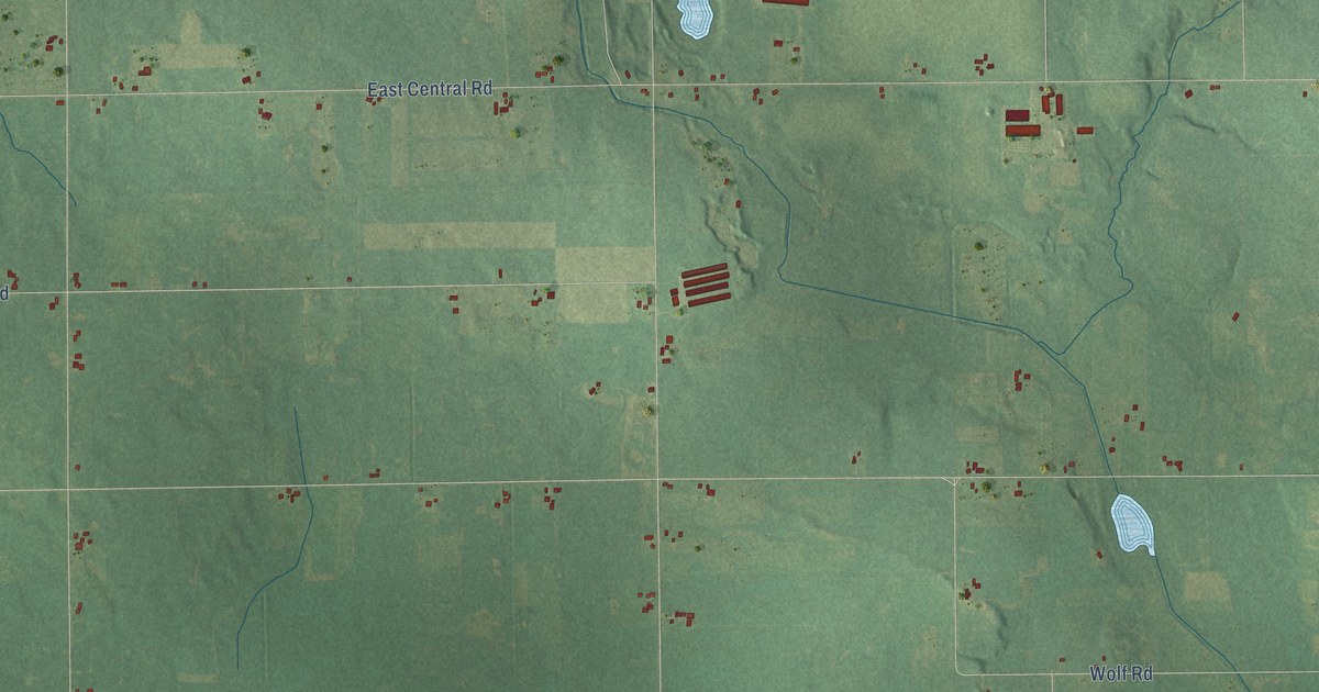
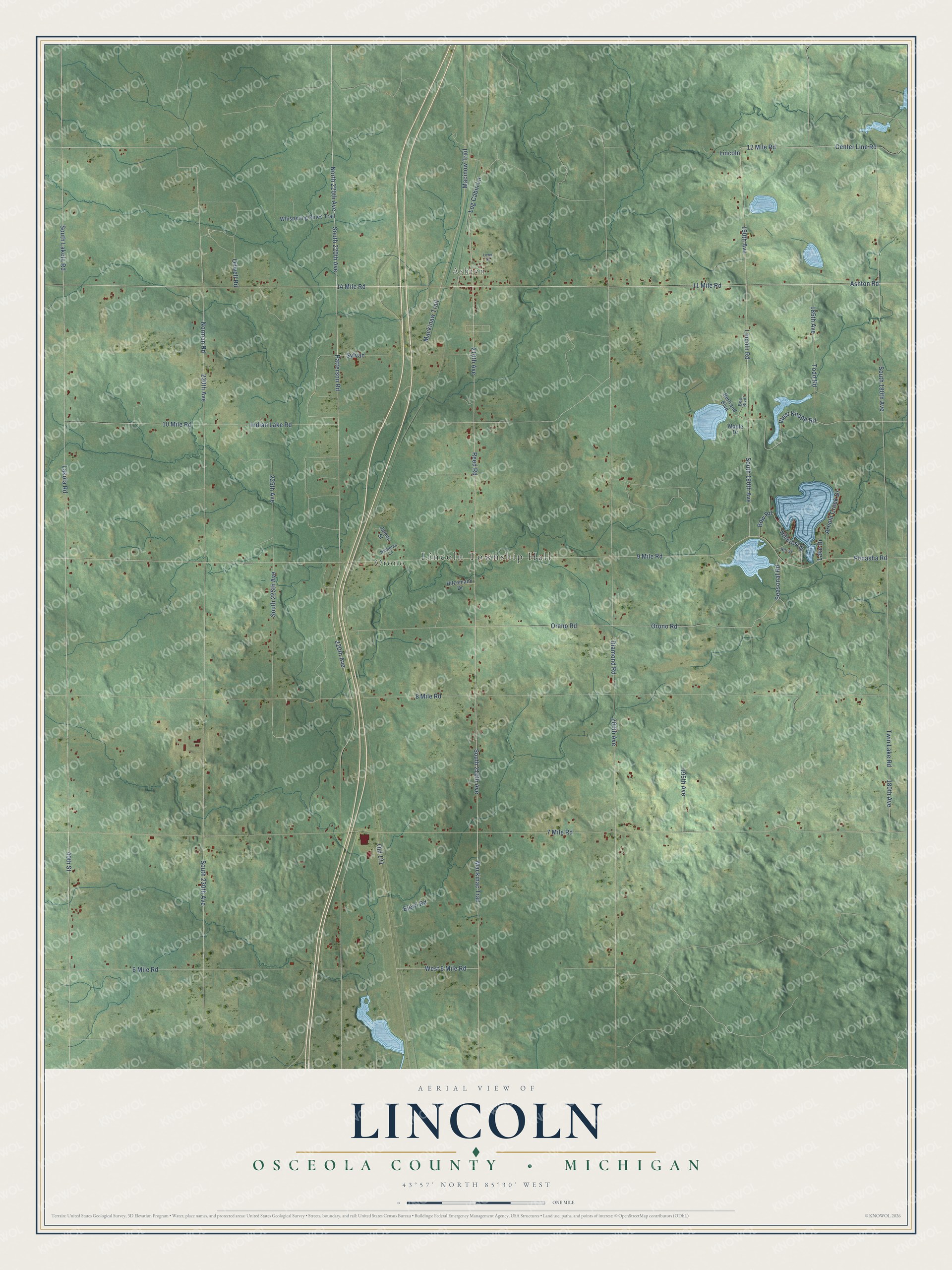
This beautifully detailed map of Lincoln, Michigan was created in 2026 using aerial imagery combined with modern topographical, census, street and landmark data. It's a modern aerial view of Lincoln in Osceola County, Michigan, that combines modern data with a vintage aesthetic. The roads feature printed names, and if you look closely you can find your exact house accurately shown in its correct location.
Explore an aerial view of Lincoln, Michigan
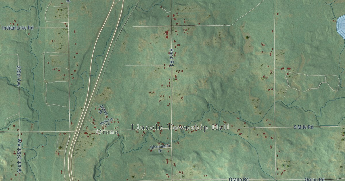
On this map you'll find Lincoln Township Hall, Ashton, Orono, Patterson Road, 11 Mile Road, Seasonal Road, South 220th Avenue, 220th Avenue, North 220th Avenue, West Knapp Road, Indian Lake Road, Ashton Road, and more. Each red shape is a building, so zoom in on the preview and look for yours.
Lincoln has a story worth telling. The Biographical Album of Osceola County puts it this way: "Lincoln Township was organized under special act of the Legislature passed March, 1867. The meeting was held at the residence of T.M. Martin."
The Census Bureau counted 1,462 people here in 2020.
Take a closer look at the Lincoln map
Names on this map
These names are printed on this map.
Places: Lincoln Township Hall, Ashton and Orono.
Streets and roads: Patterson Road, 11 Mile Road, Seasonal Road, South 220th Avenue, 220th Avenue, North 220th Avenue, West Knapp Road, Indian Lake Road, Ashton Road, West 6 Mile Road, 190th Avenue, Mackinac Trail.
More street names, A to Z
6 Mile Road, 7 Mile Road, 8 Mile Road, 9 Mile Road, 10 Mile Road, 12 Mile Road, 14 Mile Road, 40th Street, 180th Avenue, 185th Avenue, 195th Avenue, 200th Avenue, 210th Avenue, 225th Avenue, 230th Avenue, Arnold Creek Drive, Bea Boulevard, Bertrand Boulevard, Bierri Road, Bow Road, Center Line Road, Diamond Road, Hillcrest Drive, Hill Street, Hitzemann Drive, James Street, Lake Drive, Lakola Road, Lincoln, Lincoln Road, Log Cabin Lane, Lowe Street, Macinow Trail, Mackinaw Trail, Maple Drive, Nicholas Lane, Norman Road, Oilwell Road, Old 131, Orano Road, Orono Road, Penasha Road, Reed Road, South 180th Avenue, South 190th Avenue, South 210th Avenue, South 225th Avenue, South 230th Avenue, South Lakola Road, Sylvan, Todd Road, Twin Lake Road, Whispering Pines Trail.
Created by KNOWOL in 2026. The buildings are small red shapes, the roads carry their printed names, and shaded relief shows the shape of the land. The title panel reads "AERIAL VIEW OF LINCOLN, OSCEOLA COUNTY • MICHIGAN" with 43°57' NORTH 85°30' WEST.
It looks right in a kitchen, an office or a den, and it's a gift for anyone who grew up in Lincoln or moved away. Open the preview and find your street. See sizes and frames for the Lincoln, Osceola County map.