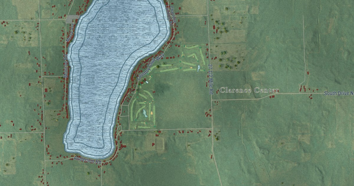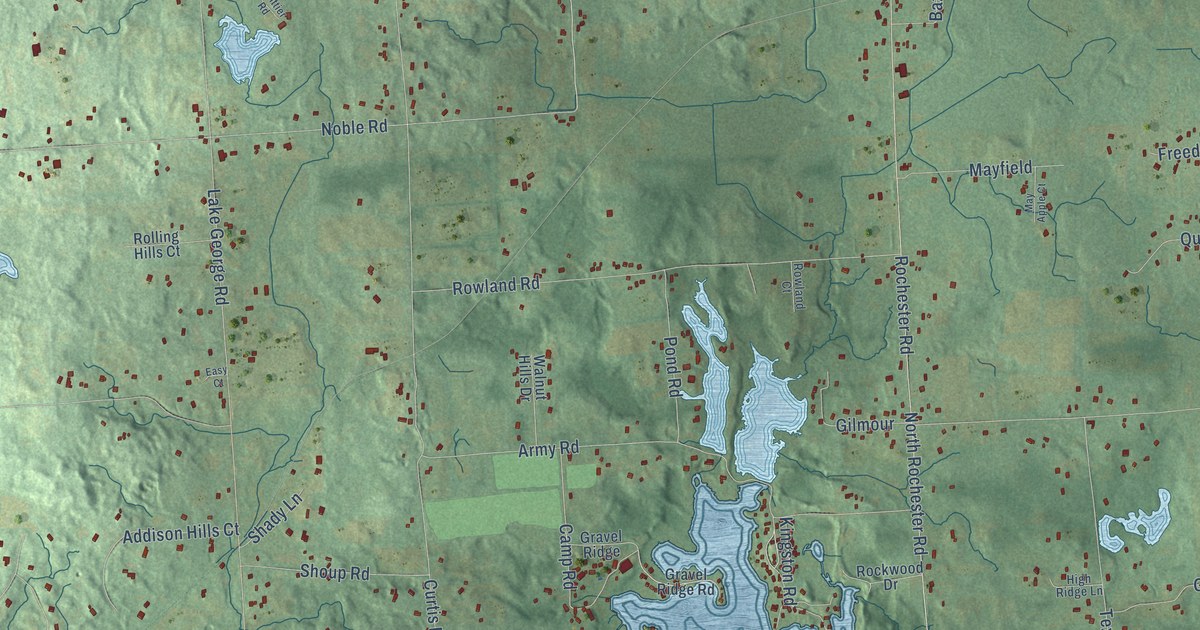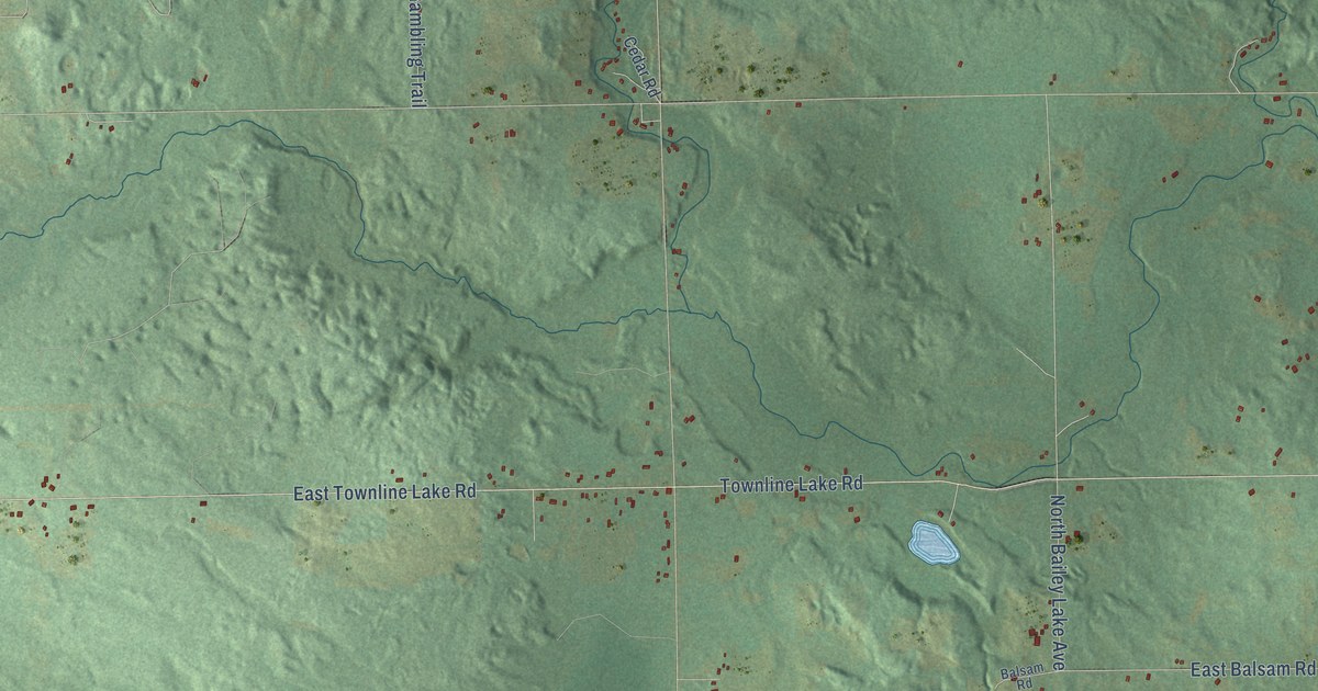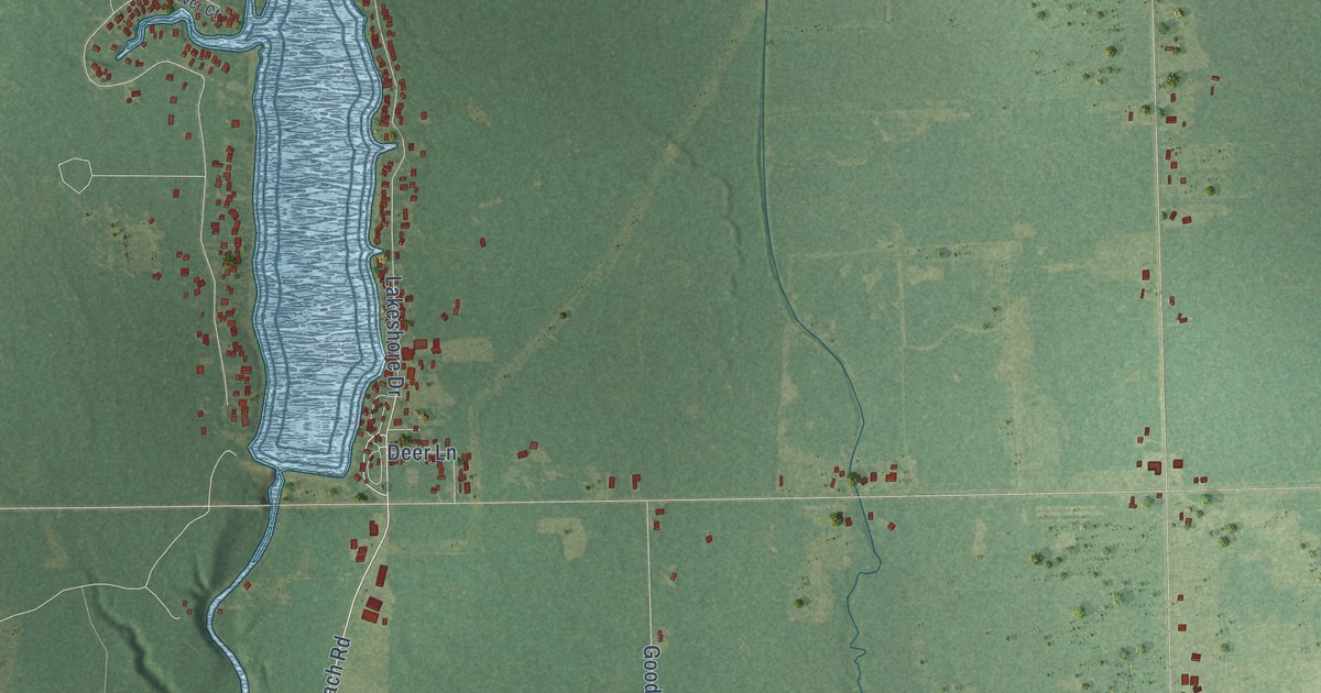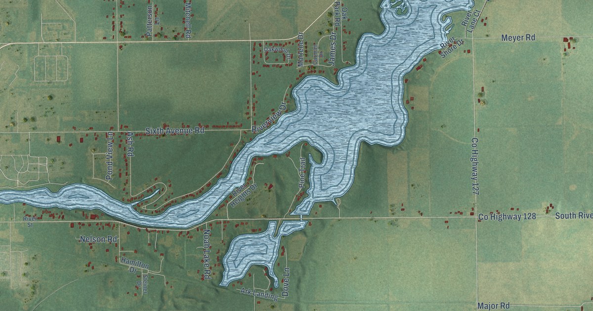
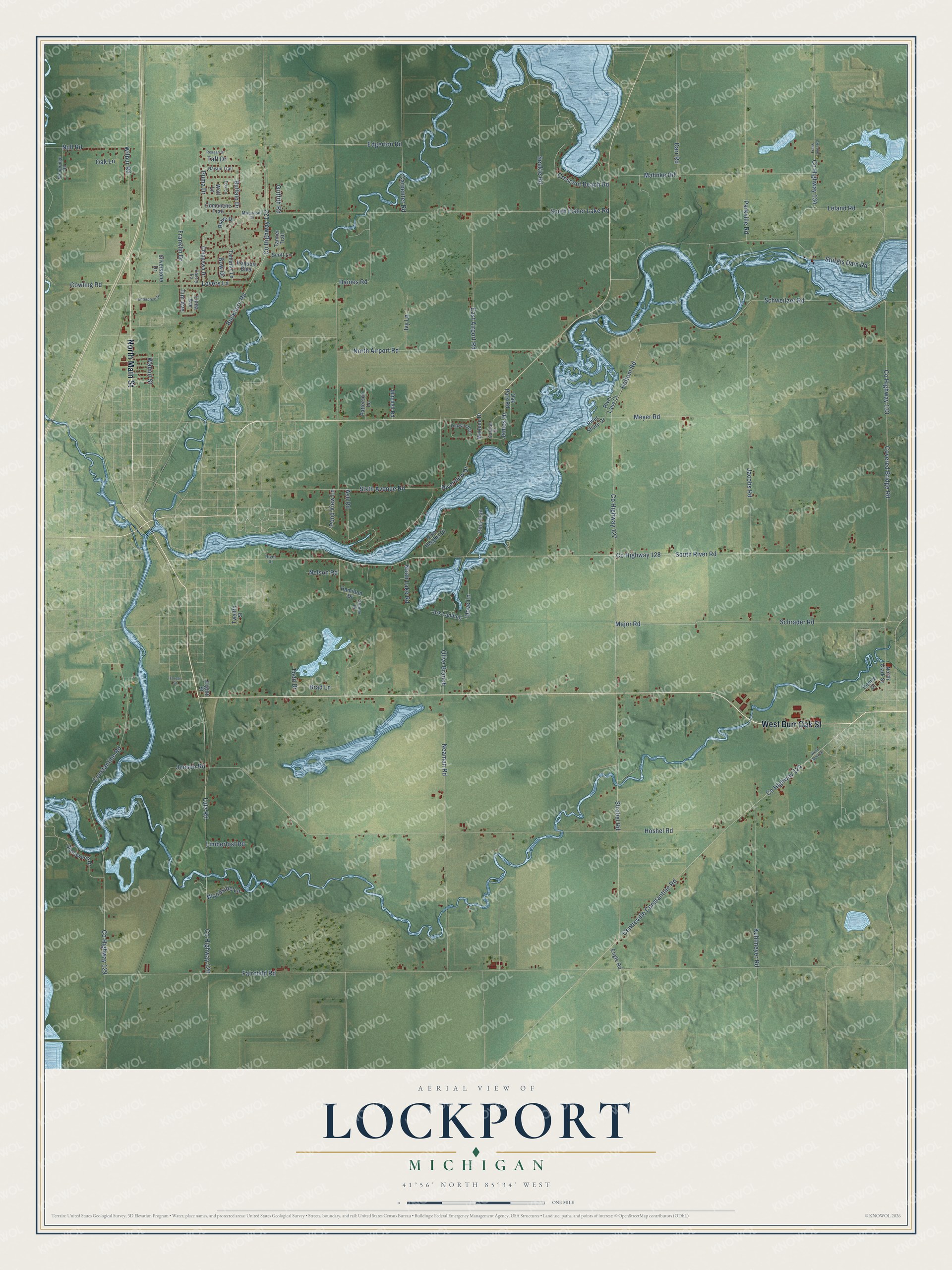
This beautifully detailed map of Lockport, Michigan was created in 2026 using aerial imagery combined with modern topographical, census, street and landmark data. It's a modern aerial view of Lockport in St. Joseph County, Michigan, that combines modern data with a vintage aesthetic. The roads feature printed names, and if you look closely you can find your exact house accurately shown in its correct location.
Explore an aerial view of Lockport, Michigan
On this map you'll find North Main Street, West Burr Oak Street, Sixth Avenue Road, Co Highway 133, Covered Bridge Road, Constantine Road, Schweitzer Road, Puma Drive, Fairchild Road, Co Highway 127, Co Highway 128, South River Road, and more. Each red shape is a building, so zoom in on the preview and look for yours.
Here is a piece of Lockport history, in the words of the record. The History of St. Joseph County puts it this way: "In December, 1836, George Buck, Jonathan Brown, Benjamin Sherman, Edward Pierson, and L. B. Brown laid out a new plat on sections nineteen and twenty, township six, range eleven, and named the village Lockport, and projected a canal and immense water-power."
The Census Bureau counted 3,729 people here in 2020.
Take a closer look at the Lockport map
Names on this map
These names are printed on this map.
Streets and roads: North Main Street, West Burr Oak Street, Sixth Avenue Road, County Highway 133, Covered Bridge Road, Constantine Road, Schweitzer Road, Puma Drive, Fairchild Road, County Highway 127, County Highway 128, South River Road.
More street names, A to Z
Ark Landing, Ash Road, Bow Drive, Brad Lane, Brave Drive, Buckhorn Road, Buffalo Drive, Carman Drive, Carpenter Road, Centre Court, Centreville Constantine Road, Cherry Lane, Chippewa Drive, Comanche Trail, County Highway 122, County Highway 124, County Highway 126, County Highway 129, County Highway 134, Cowling Road, Crescent Beach Road, Darr Road, Dove Lane, East Airport Road, Edgerton Road, Eighth Street, Engle Road, Enterprise Drive, Forest Street, Fox Lane, Frank Jones Road, Franklin Drive, Griffith Road, Haines Road, Hamilton Drive, Holtom Road, Hoshel Road, Iroquois Boulevard, Ivy Lane, Jacobs Road, James Drive, Jensen Road, Kuhlmeyer Road, Leland Road, Limberlost Road, Linda Avenue, Lovers Lane, Lutz Road, Mahnke Road, Major Road, Marlene Drive, Meyer Road, Mitchell Road, Moccasin Drive, Navajo Trail, Neaman Road, Nelson Road, Noah Lake Road, North Airport Road, North Clark Street, Null Road, Oak Lane, Oak Park Road, Oakwood Drive, Olive Branch, Parkville Road, Patterson Lane, Pine Trail, Pond View Lane, Reagan Drive, River Heights Drive, River Lane Court, River Shore Drive, River Street, Riverview Drive, Schrader Road, Scott Lane, Seekle Road, Shorewood Drive, Silverstone Drive, South Fisher Lake Road, Steiner Drive, Strobel Road, Sturgis Dam Road, Taft Drive, Tamarac Lane, Tanner Trail, Tim Avenue, Todd Drive, Twelfth Street, Walnut Street, West Main Street, Wilbur Road, Wolf Lane, Woodridge Road, Woodside Lane.
Created by KNOWOL in 2026. The buildings are small red shapes, the roads carry their printed names, and shaded relief shows the shape of the land. The title panel reads "AERIAL VIEW OF LOCKPORT, MICHIGAN" with 41°56' NORTH 85°34' WEST.
It suits a den, a classroom or a front hall, and it makes a gift for anyone with Lockport roots. Open the preview and find the block you know. See sizes and frames for the Lockport map.