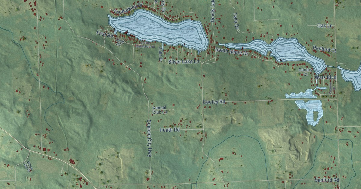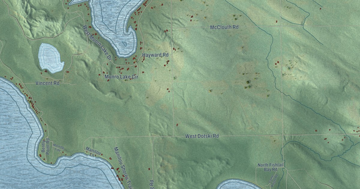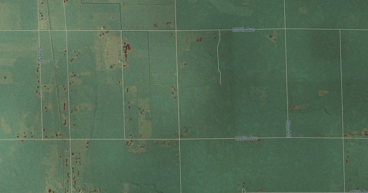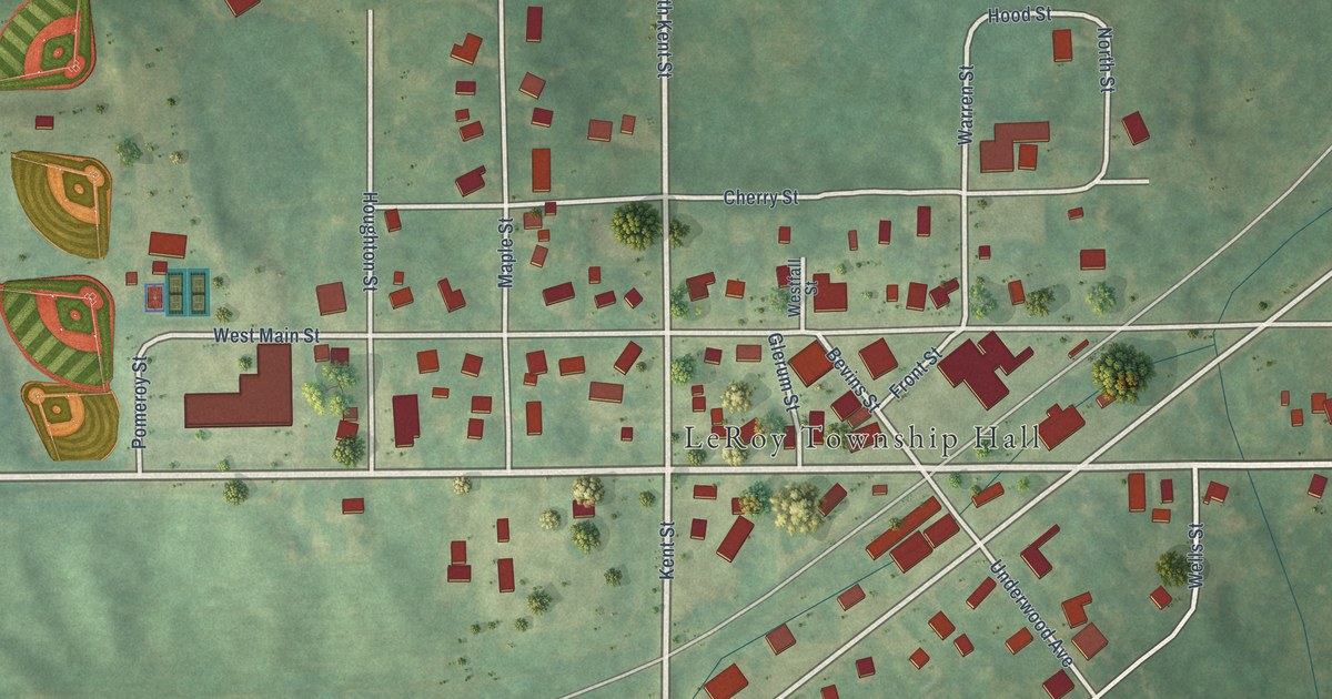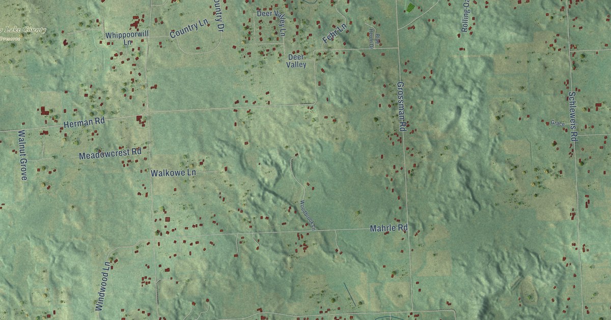
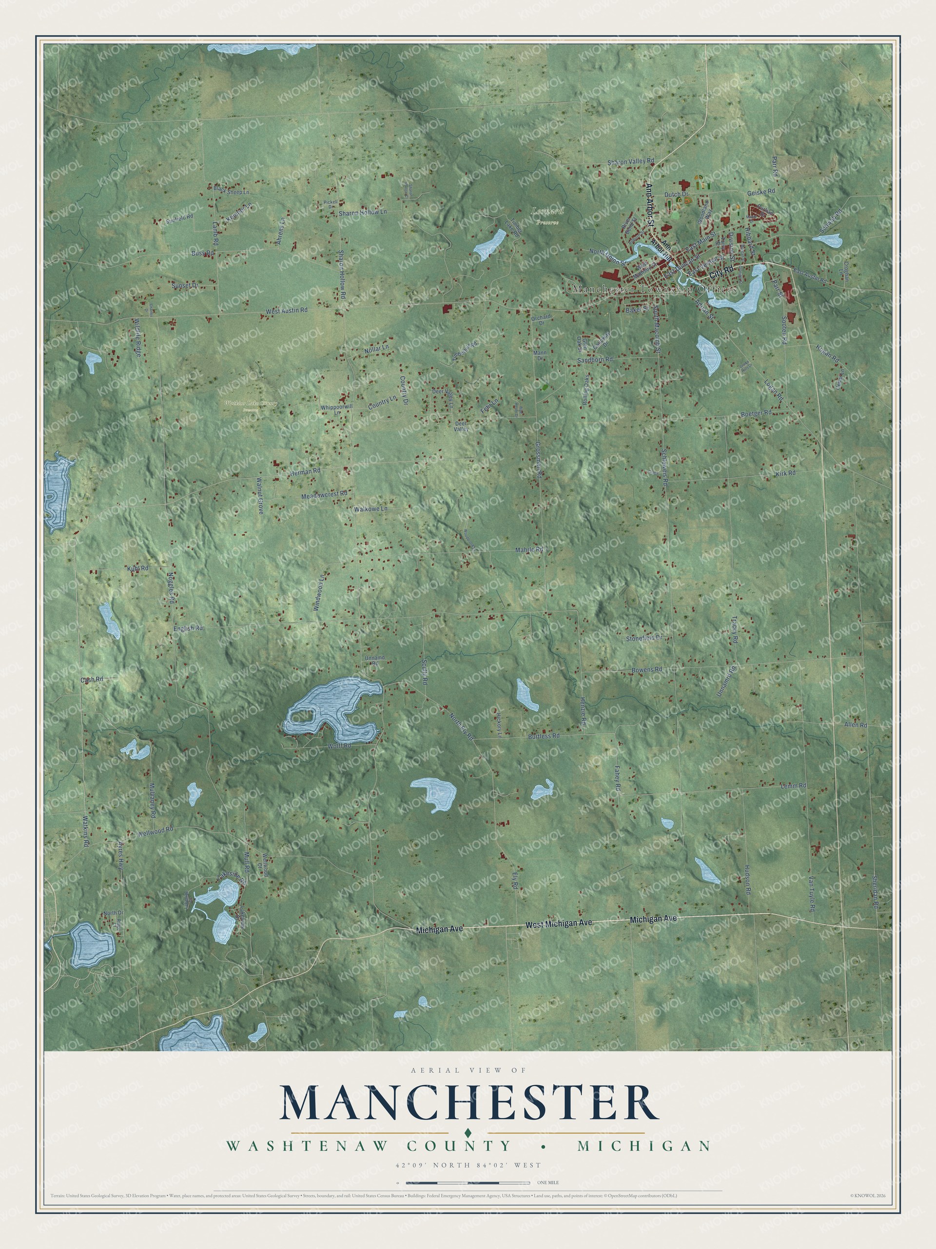
This beautifully detailed map of Manchester, Michigan was created in 2026 using aerial imagery combined with modern topographical, census, street and landmark data. It's a modern aerial view of Manchester in Washtenaw County, Michigan, that combines modern data with a vintage aesthetic. The roads feature printed names, and if you look closely you can find your exact house accurately shown in its correct location.
Explore an aerial view of Manchester, Michigan
On this map you'll find Manchester Township Offices, Leonard Preserve, Watkins Lake County Preserve, West Michigan Avenue, Ann Arbor Street, City Road, Michigan Avenue, Sheridan Road, Watkins Road, Herman Road, East Duncan Street, North Union Street, and more. Each red shape is a building, so zoom in on the preview and look for yours.
Here is a piece of Manchester history, in the words of the record. The History of Washtenaw County puts it this way: "The first School Inspectors of Manchester township were John B. Case, Thomas Stockwell and John B. Crane. The two former received 79 votes each, the latter 39 votes."
The Census Bureau counted 4,626 people here in 2020.
Take a closer look at the Manchester map
Names on this map
These names are printed on this map.
Places: Manchester Township Offices, Leonard Preserve and Watkins Lake County Preserve.
Streets and roads: West Michigan Avenue, Ann Arbor Street, City Road, Michigan Avenue, Sheridan Road, Watkins Road, Herman Road, East Duncan Street, North Union Street, South Macomb Street, West Austin Road, Burtless Road.
More street names, A to Z
Adrian Street, Ahrens Lane, Allen Road, Ann Arbor Hill, Auburn Street, Ayres Highway, Baker Street, Black Sheep Lane, Blue Heron Drive, Boetger Road, Bowens Road, Buss Road, Cash Road, Cedar Lane, Charles Drive, Country Drive, Country Lane, Croghan Lane, Deer Valley, Deer Valley Lane, Division Street, Dutch Drive, East Austin Road, East Main Street, East Vernon Street, Ely Road, English Road, Fahey Road, Fehr Lane, Galloway Drive, Geiske Road, Glen Oak Drive, Grace, Granger Street, Green Hills Drive, Grossman Road, Henzie Road, Hibbard Street, Hickory Lane, Hogan Road, Hudson Road, Kemner Lane, Kirk Road, Kuhl Road, Lakeside Drive, Lakeside Road, Lakeview Drive, Lamb Road, Lemm Road, Logan Road, Mahrle Road, Mann Drive, Manor Drive, Meadowcrest Road, Morgan Street, Mull Road, Mulvaney Road, Noggles Road, Nollar Lane, North Drive, North Ely Road, Orchard Drive, Parr Road, Parr Street, Pickell Drive, Purtian Drive, Ridge Court, River Bend Street, Rolling Oaks, Sandborn Road, Schleweis Road, Schwab Road, Scully Road, Sharon Hollow Court, Sharon Hollow Lane, Sharon Hollow Road, Sharon Valley Road, Sooten Road, Stonefield Drive, Sunfield Road, Sunset Drive, Timberhill Road, Timber Lake Road, Torry Street, Tracey Road, Unnamd Road, Unnamrd Road, Van Tuyle Road, Walkowe Lane, Walnut Grove, Wellwood Court, Wellwood Road, West Madison Street, Whippoorwill Lane, Wildlife Ridge, Windwood Lane, Wolff Road, Woodbrook Lane, Woodland Way.
Created by KNOWOL in 2026. The buildings are small red shapes, the roads carry their printed names, and shaded relief shows the shape of the land. The title panel reads "AERIAL VIEW OF MANCHESTER, WASHTENAW COUNTY • MICHIGAN" with 42°09' NORTH 84°02' WEST.
It suits a den, a classroom or a front hall, and it makes a gift for anyone with Manchester roots. Open the preview and find the block you know. See sizes and frames for the Manchester, Washtenaw County map.