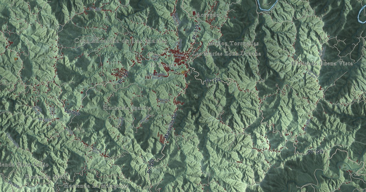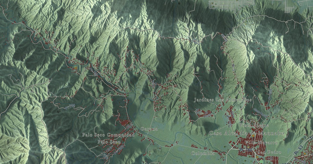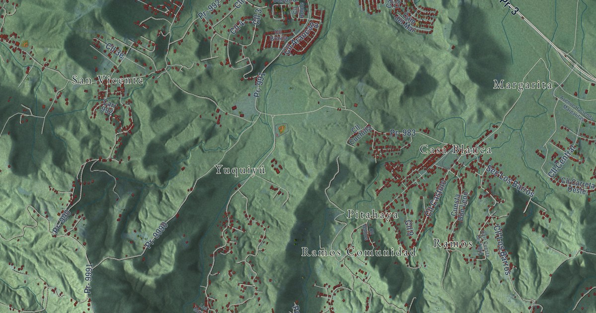
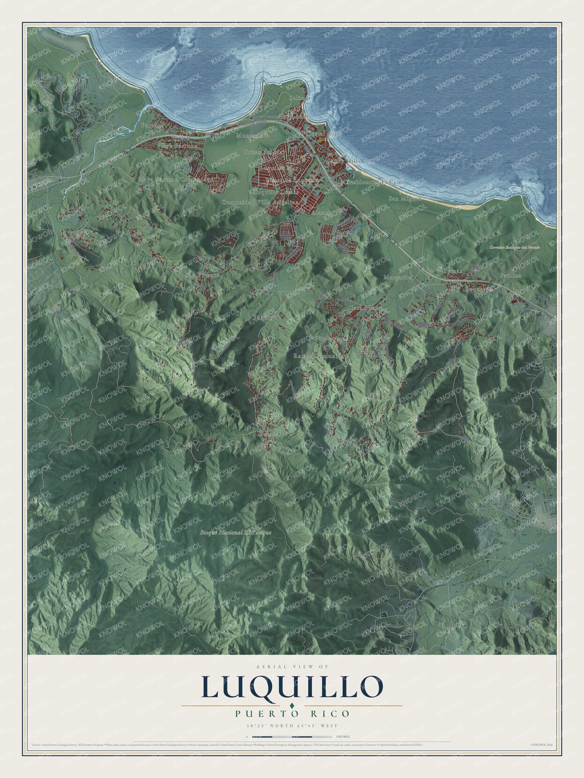
This beautifully detailed map of Luquillo, Puerto Rico was created in 2026 using aerial imagery combined with modern topographical, census, street and landmark data. It's a modern aerial view of the municipio of Luquillo, Puerto Rico, that combines modern data with a vintage aesthetic. The roads feature printed names, and if you look closely you can find your exact house accurately shown in its correct location.
Explore an aerial view of Luquillo, Puerto Rico
On this map you'll find Bosque Nacional El Yunque, Corredor Ecológico del Noreste, Alamar, Boquerón, Borrás, Brisas del Mar, Casa Blanca, Comunidad Villa Angelina, Costal Azul, Fortuna, Luquillo Lomas, Luquillo Mar, and more. Each red shape is a building, so zoom in on the preview and look for yours.
Here is a piece of Luquillo history, in the words of the record. The 1940 WPA Guide to Puerto Rico puts it this way: "A native of Luquillo was Rosendo Matienzo Cintron (1855-1913), a leading figure in Insular politics, who left the Republican party and founded the Unionist party in 1904."
Luquillo is one of the 78 municipios of Puerto Rico. The Census Bureau counted 17,781 people here in 2020.
Take a closer look at the Luquillo map
Names on this map
These names are printed on this map.
Places: Bosque Nacional El Yunque, Corredor Ecológico del Noreste, Alamar, Boquerón, Borrás, Brisas del Mar, Casa Blanca, Comunidad Villa Angelina, Costal Azul, Fortuna, Luquillo Lomas, Luquillo Mar, Margarita, Monserrate, Paulina, Pitahaya, Playa Azul, Playa Fortuna, Playa Fortuna Comunidad, Ramos, Ramos Comunidad, Residencial El Cemi, Sabana, San Miguel, San Vicente, Sandy Hills, Solimar, Vistas de Luquillo and Yuquiyú.
Streets and roads: Pr- 3, Pr- 193, Cll 1, Cll Los Barros, Cll Cotresi, Sec Los Barros, Pr- 983, Cll 4, Pr- 988, Cll 2, Cll 3, Pr- 9991.
More street names, A to Z
Avenue Hacienda Margaritas, Calle East, Cam del Campo, Cam del Lago, Cam del Mar, Carr 992, Carr 9984, Carr Cuesta del Tigre, Cll 5, Cll 6, Cll 7, Cll 8, Cll 9, Cll 10, Cll 11, Cll 13, Cll 14, Cll Amapola, Cll Araucana, Cll Bravia, Cll Carreta, Cll Carreta Oeste, Cll Castulo, Cll Central, Cll Cuchilla, Cll E2, Cll E9, Cll Fernandez Garcia, Cll Fernández Garcia, Cll Florida, Cll Heradura, Cll Ingenio, Cll Melao, Cll Ramos, Cll Rio Fajardo, Cll Rio Sabana, Cll Roble, Cll Rubi, Cll V-3, Cuesta Don Leon, Las Aves, Las Marias, Main Street, Paisaje del Rio, Pr- 940, Pr- 984, Pr- 990, Pr- 991, Pr- 992, Pr- 9983, Pr- 9984, Pr- 9988, Pr- 9989, Pr- 9990.
Created by KNOWOL in 2026. The buildings are small red shapes, the roads carry their printed names, and shaded relief shows the shape of the land. The title panel reads "AERIAL VIEW OF LUQUILLO, PUERTO RICO" with 18°23' NORTH 65°43' WEST.
It suits a den, a classroom or a front hall, and it makes a gift for anyone with Luquillo roots. Open the preview and find the block you know. See sizes and frames for the Luquillo map.