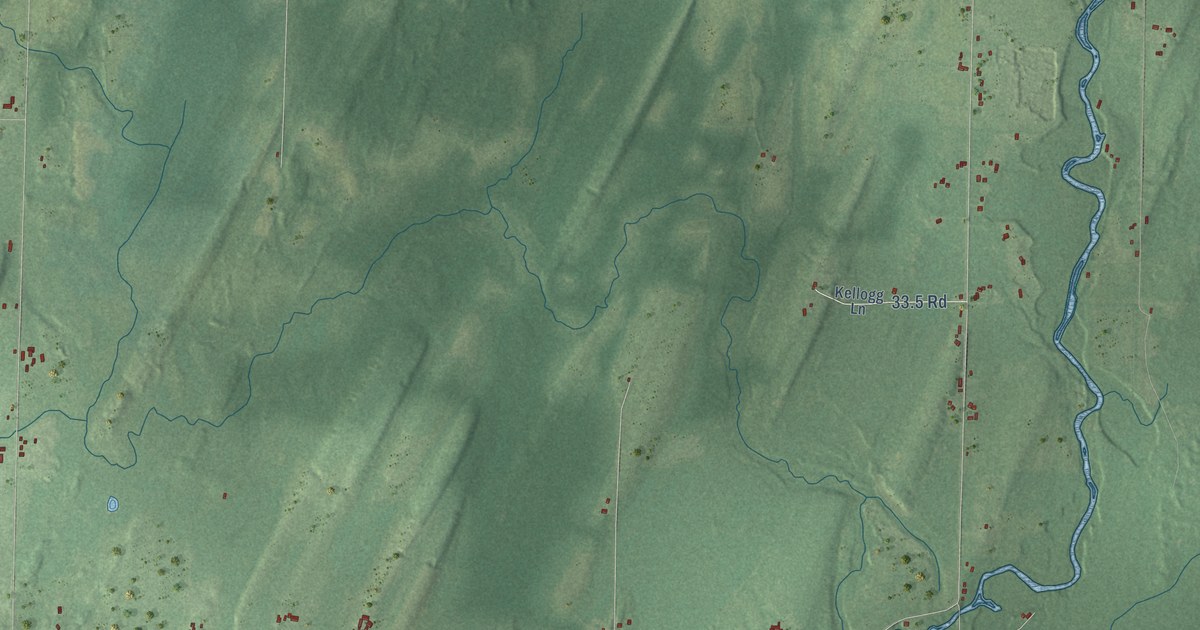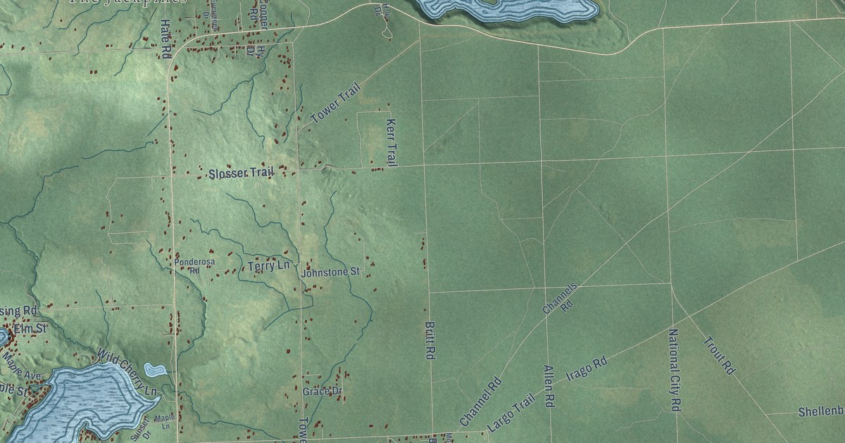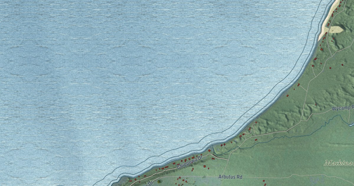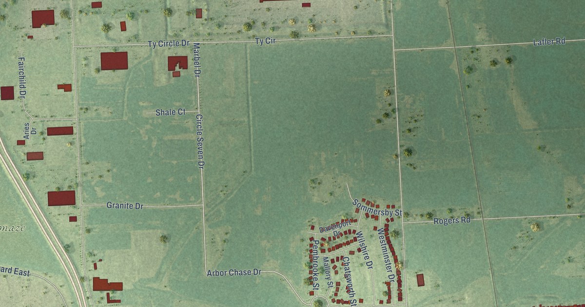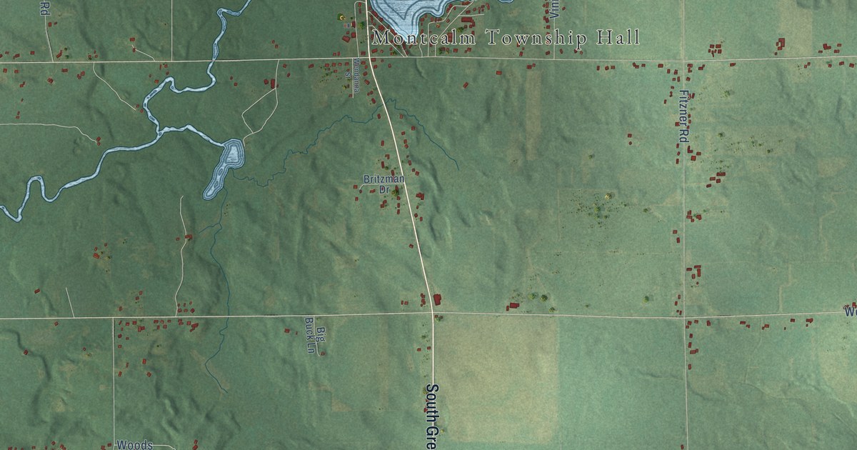
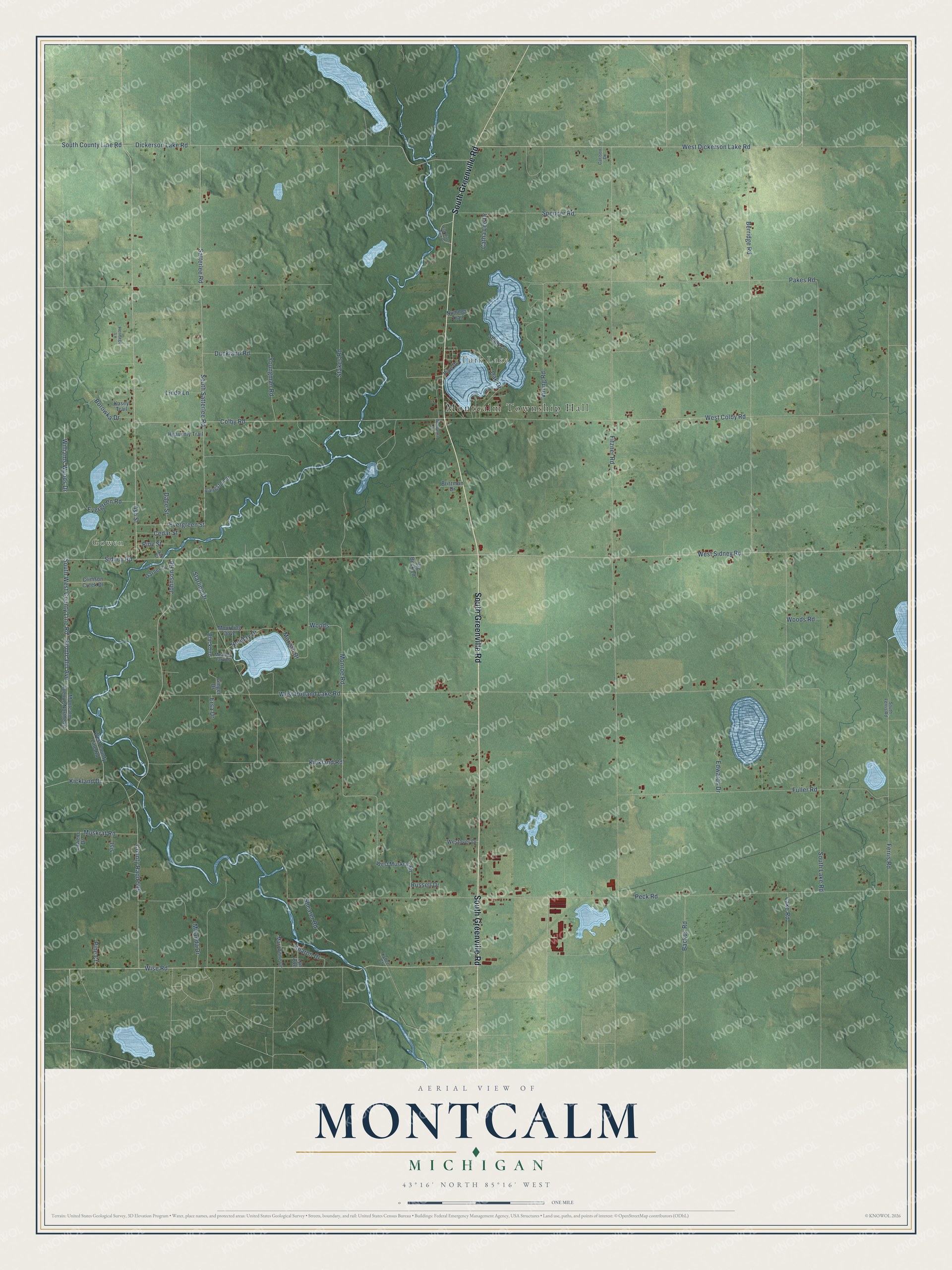
This beautifully detailed map of Montcalm, Michigan was created in 2026 using aerial imagery combined with modern topographical, census, street and landmark data. It's a modern aerial view of Montcalm in Montcalm County, Michigan, that combines modern data with a vintage aesthetic. The roads feature printed names, and if you look closely you can find your exact house accurately shown in its correct location.
Explore an aerial view of Montcalm, Michigan
On this map you'll find Montcalm Township Hall, Gowen, Turk Lake, South Greenville Road, Wise Road, Montcalm Avenue, Johnson Road, Ash Street, Monroe Road, South West County Line Road, Fuller Road, Woods, and more. Each red shape is a building, so zoom in on the preview and look for yours.
Montcalm has a story worth telling. The History of Montcalm County puts it this way: "Montcalm township was organized by an act of the state Legislature, and although the act which organized Montcalm county was passed at a later date it did not affect the earlier organization of this township. The first town meeting was held at the house of Anson Ensign, April 7, 1845."
The Census Bureau counted 3,394 people here in 2020.
Take a closer look at the Montcalm map
Names on this map
These names are printed on this map.
Places: Montcalm Township Hall, Gowen and Turk Lake.
Streets and roads: South Greenville Road, Wise Road, Montcalm Avenue, Johnson Road, Ash Street, Monroe Road, South West County Line Road, Fuller Road, Woods, Evergreen Road, Kickland Drive, South County Line Road.
More street names, A to Z
Backus Road, Berridge Road, Big Buck Lane, Blackbird, Borowka Drive, Britzman Drive, Carlson Drive, Catha Lee Drive, Cedar Street, Colby Road, County Raod 595, Crimson Creek Drive, Dane Street, Dickerson Lake Road, Duckland Road, Edwards Drive, Ersa Drive, Evergreen Street, Ferris Road, Fitzner Road, Flat River Park Drive, Garner Drive, Ginger Drive, Heavenly Trail, Heritage Lane, Holiday Drive, Isis, Kasey Trail, Kickland Road, Kybec Court, Lake Road, Langston Street, Lawens Drive, Linda Lane, Lyn Avenue, Mari Anne Drive, Meadow Lark Drive, Miranda Drive, Montcalm Avenue Northeast, Morgan Drive, Mourning Dove, Muskrat Road, Nummer Trail, Oak Drive, Oak Street, Pakes Road, Peck Road, Pine Court, Pine Drive, Pine Street, Russell Drive, Satterlee Road, Shady Lane, Sharon Drive, Shearer Road, Sidney Road, South Ferris Road, South Lake Road, South Satterlee Road, Spencer Road, Stakes Road, Starling Drive, Vining Road, Wendanna Street, West Colby Road, West County Line Road, West Dickerson Lake Road, West Holland Lake Road, West Muskrat Road, Westover Drive, West Sidney Road, Williams Woods Drive, Woods Road, Youngman Road.
Created by KNOWOL in 2026. The buildings are small red shapes, the roads carry their printed names, and shaded relief shows the shape of the land. The title panel reads "AERIAL VIEW OF MONTCALM, MICHIGAN" with 43°16' NORTH 85°16' WEST.
It looks right in a kitchen, an office or a den, and it's a gift for anyone who grew up in Montcalm or moved away. Open the preview and find your street. See sizes and frames for the Montcalm map.