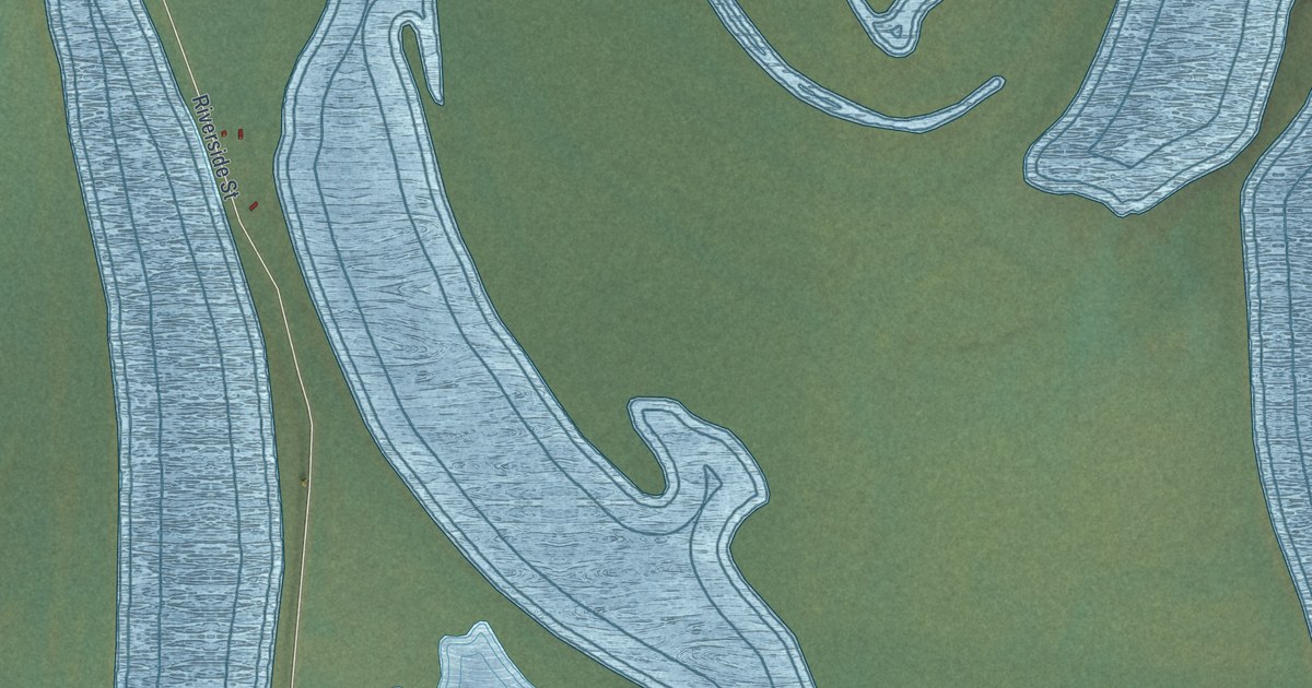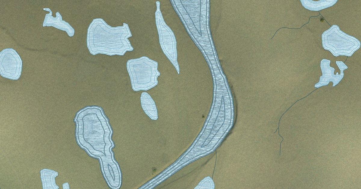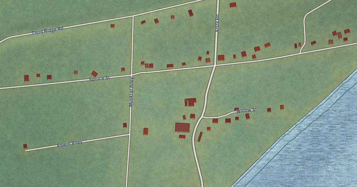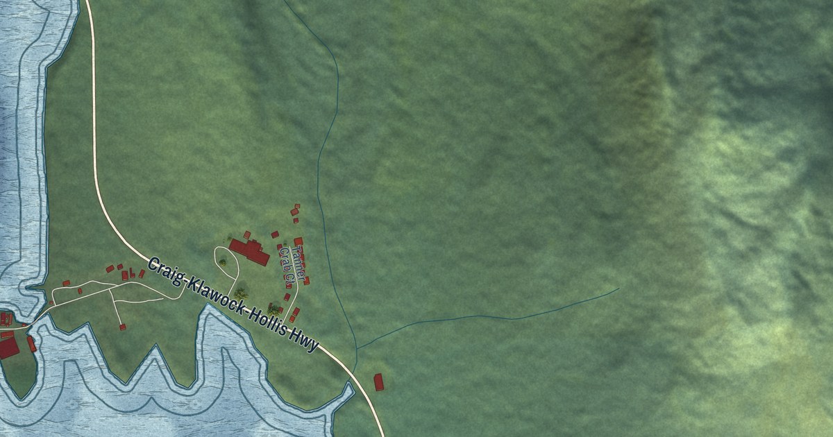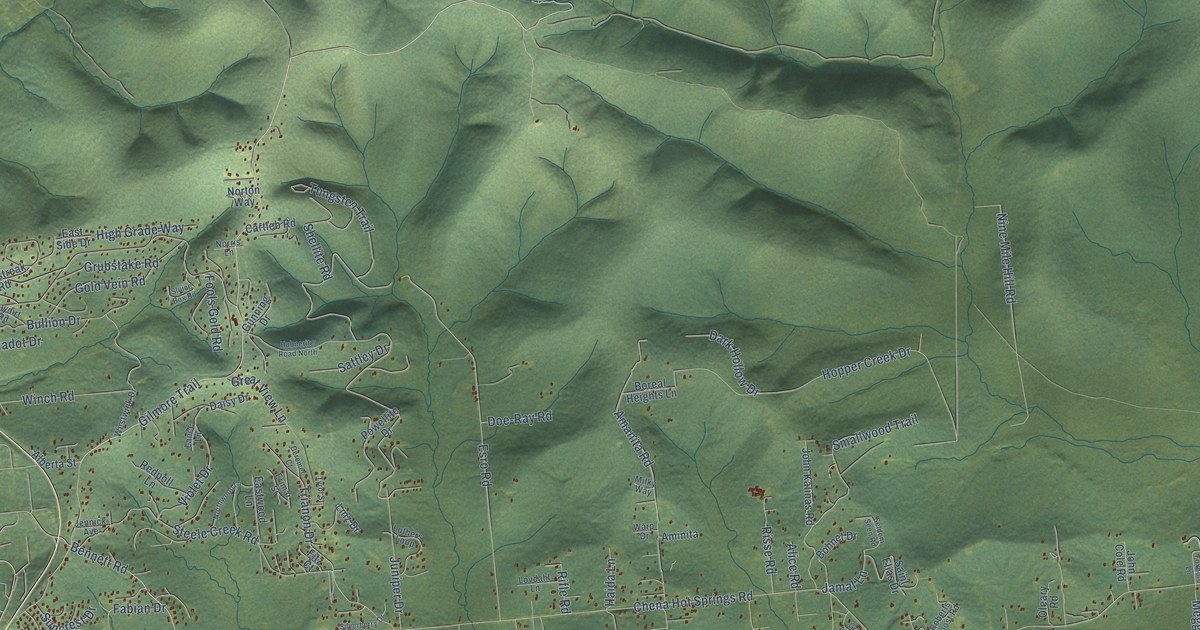
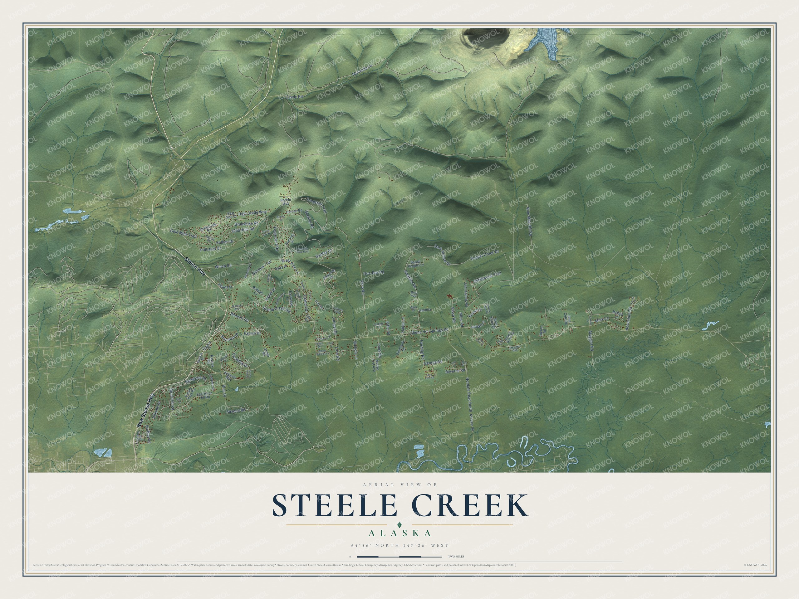
This beautifully detailed map of Steele Creek, Alaska was created in 2026 using aerial imagery combined with modern topographical, census, street and landmark data. It's a modern aerial view of Steele Creek in Fairbanks North Star Borough, Alaska, that combines modern data with a vintage aesthetic. The roads feature printed names, and if you look closely you can find your exact house accurately shown in its correct location.
Explore an aerial view of Steele Creek, Alaska
On this map you'll find Steese Highway, New Steese Highway, Gilmore Trail, Bennett Road, Monzulla Lane, Chena Hot Springs Road, Tungsten Trail, Nine Mile Hill Road, Gold Mine Trail, Steele Creek Road, Esro Road, Hopper Creek Drive, and more. Each red shape is a building, so zoom in on the preview and look for yours.
Steele Creek has a story worth telling. The U.S. Geological Survey puts it this way: "The Tungsten Hill prospect was located in 1916 on the southwest side of Tungsten Gulch opposite the Tanana prospect."
Steele Creek is a community in Fairbanks North Star Borough. The Census Bureau counted 6,437 people here in 2020.
Take a closer look at the Steele Creek map
Names on this map
These names are printed on this map.
Streets and roads: Steese Highway, New Steese Highway, Gilmore Trail, Bennett Road, Monzulla Lane, Chena Hot Springs Road, Tungsten Trail, Nine Mile Hill Road, Gold Mine Trail, Steele Creek Road, Esro Road, Hopper Creek Drive.
More street names, A to Z
Adventure Road, Alberta Street, Alice Road, Amanita Road, Aminita, Beacon Road, Bias Drive, Birch Hill Road, Bohnet Drive, Boreal Heights Lane, Buffalo Lane, Bullion Drive, Cartleb Road, City Lights Boulevard, Daisy Drive, Dark Hollow Drive, Deremer Court, Doe-Ray Road, East Birch Hill Road, East Side Drive, Eastview Drive, Eastwood Lane, Eberhardt Road, Eisele Road, Erimar Street, Fabian Drive, Falcon View Street, Fitz Court, Fools Gold Road, Foxboro Lane, Frodo Road, Funk Road, George Road, Goldstreak Road, Gold Vein Road, Great View Lane, Green Acres Drive, Grubstake Road, Gunning Drive, Hagaman Road, Haida Lane, Herning Road, High Grade Way, Hillcrest Drive, Hillside Drive, Hubnerite Road North, Jamal Lane, Jennick Avenue, John Cole Road, John Kalinas Road, Juniper Drive, Karline Court, Kasalek Road, Kelsey Park Road, Kniffen Road, Lance Lane, Larry Lane, Linz Drive, Lisa Lane, Lovdahl Lane, Love Road, Lunar Lane, Luthers Loop, Meggert Road, Milky Way, Mink Lane, Moose Trot Avenue, Nichols Lane, Nordale Road, Nordale Road North, Norris Lane, Northwood Lane, Norton Way, Oleary Road, Paydirt Road, Peregrine Drive, Polar Drive, Polkadot Drive, Powellite Drive, Quasar Drive, Rainbow Drive, Redpoll Lane, Rifle Road, Risse Road, Roberts Roost Road, Saint Elias Drive, Sara Lynn Road, Sattley Drive, Seldom Seen Road, Severns Road, Shellite Road, Shile Drive, Silverberry Drive, Sluice Box Road, Smallwood Trail, Straight Avenue, Suncrest Drive, Trianon Drive, Tyrol Street, Violet Drive, Warp Drive, Wayne Williams Lane, Westwick Drive, Wigwam Way, Winch Road, Yoder Drive.
Created by KNOWOL in 2026. The buildings are small red shapes, the roads carry their printed names, and shaded relief shows the shape of the land. The title panel reads "AERIAL VIEW OF STEELE CREEK, ALASKA" with 64°56' NORTH 147°26' WEST.
It looks right in a kitchen, an office or a den, and it's a gift for anyone who grew up in Steele Creek or moved away. Open the preview and find your street. See sizes and frames for the Steele Creek map.