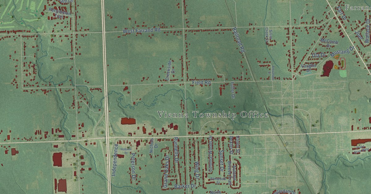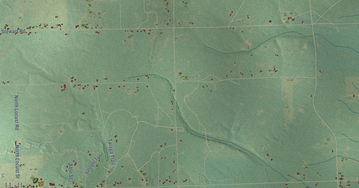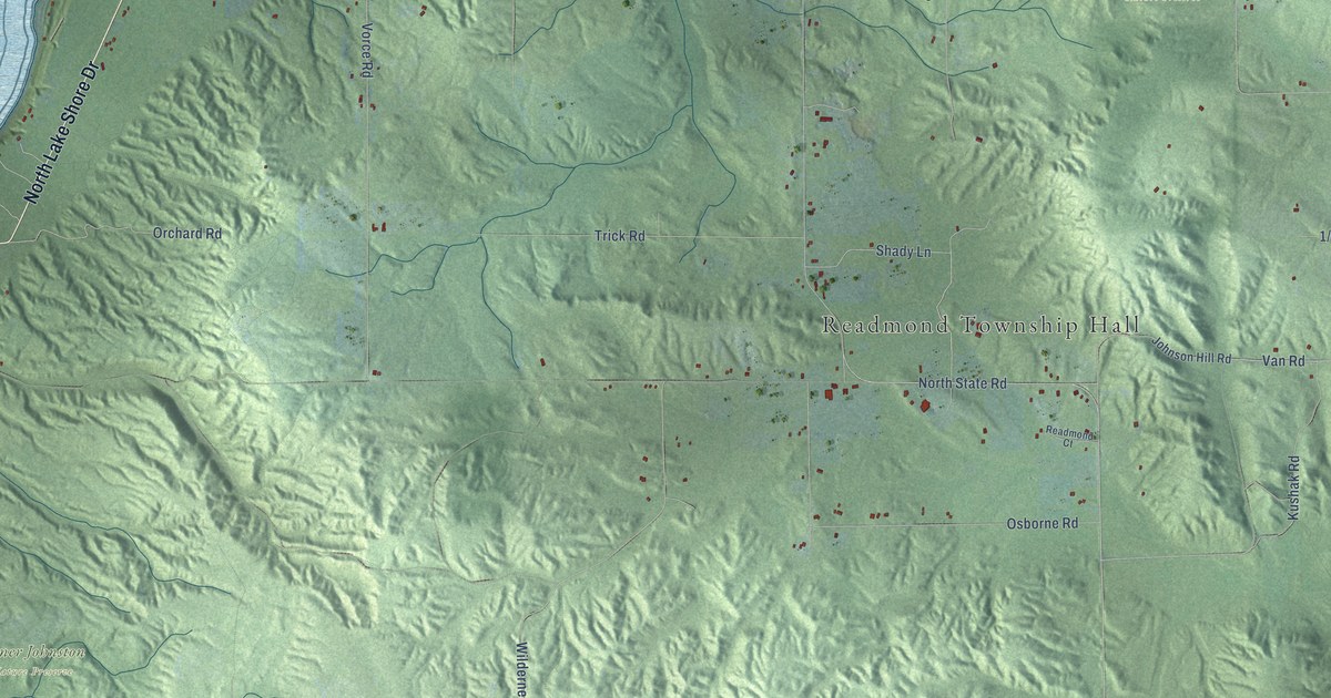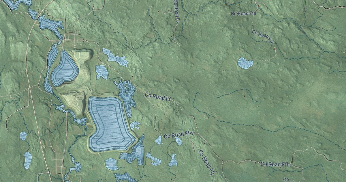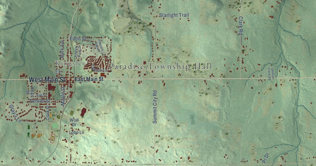
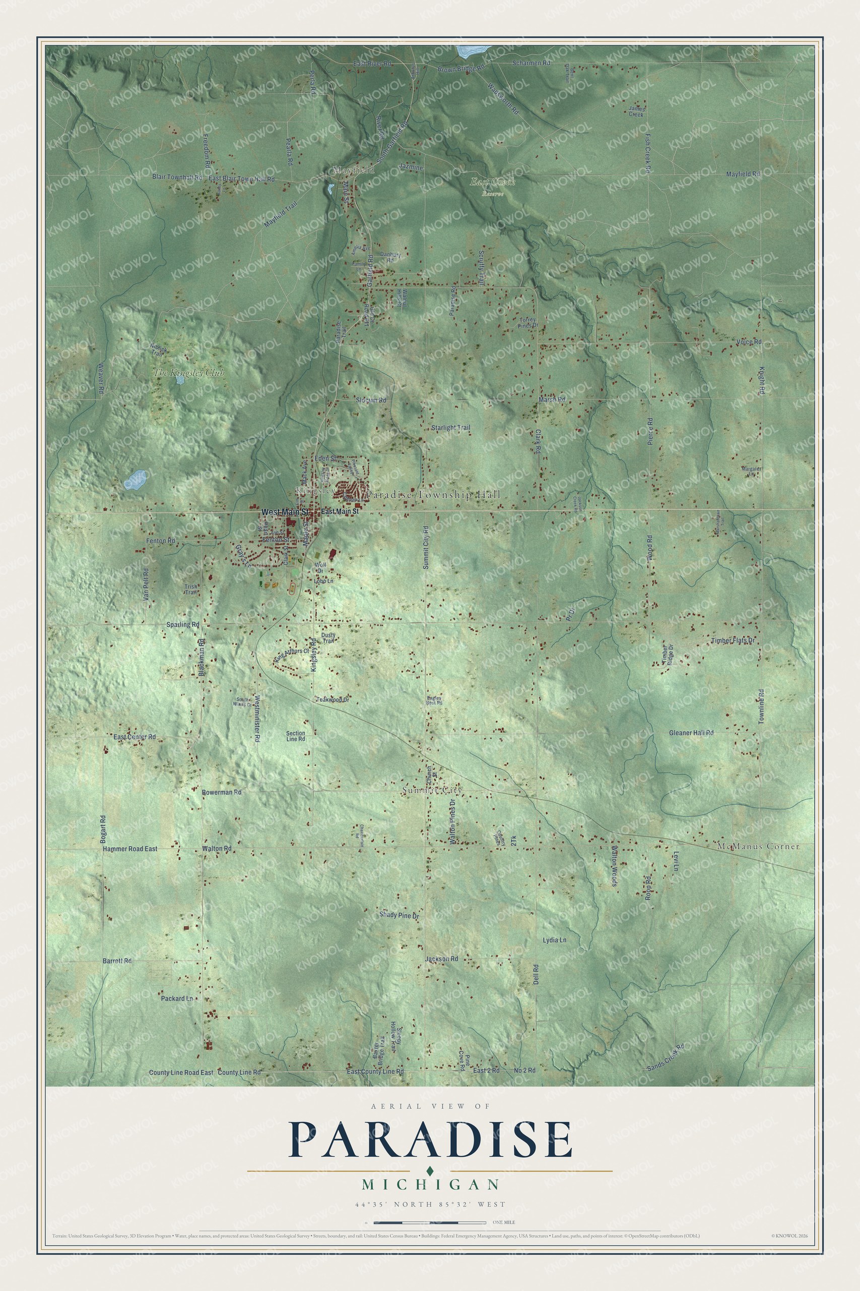
This beautifully detailed map of Paradise, Michigan was created in 2026 using aerial imagery combined with modern topographical, census, street and landmark data. It's a modern aerial view of Paradise in Grand Traverse County, Michigan, that combines modern data with a vintage aesthetic. The roads feature printed names, and if you look closely you can find your exact house accurately shown in its correct location.
Explore an aerial view of Paradise, Michigan
On this map you'll find Paradise Township Hall, McManus Corner, Mayfield, Summit City, Kingsley, East Creek Reserve, The Kingsley Club, West Main Street, Garfield Road, Weaver Road, Wood Road, Bogart Road, and more. Each red shape is a building, so zoom in on the preview and look for yours.
Every town has a first chapter, and Paradise is no exception. The Traverse Region puts it this way: "Paradise Village is located on the line of the Traverse City Railroad, in the township of Paradise, and is a point of considerable promise. It is of recent origin, having been platted in 1882 by Dr. Myrun S. Brownson."
The Census Bureau counted 4,952 people here in 2020.
Take a closer look at the Paradise map
Names on this map
These names are printed on this map.
Places: Paradise Township Hall, McManus Corner, Mayfield, Summit City, Kingsley, East Creek Reserve and The Kingsley Club.
Streets and roads: West Main Street, Garfield Road, Weaver Road, Wood Road, Bogart Road, Fenton Street, County Line Road, County Line Road East, East 2 Road, East County Line Road, No 2 Road, Wadsworth Road.
More street names, A to Z
Amelia Avenue, Arbutus Hill, Ash Street, Bailey Lane, Barrett Road, Baxter Bridge Trail, Bent Oak Trail, Blackman Road, Blair Townhall Road, Bowerman Road, Brown Bridge Road, Cathleen Lane, Chamberlain Road, Church Street, Clark Road, Clark Street, Country Pines, Danbury Road, Dell Road, Dusty Trail, Eagles Nest Road, East Blair Town Hall Road, East Center Road, East Main Street, East River Road, Eden Street, Elm Street, Family Lane, Fenton Road, Fish Creek Road, Freedom Road, Gleaner Hall Road, Gray's Lane, Hammer Road East, Jackson Creek Road, Jackson Road, James Creek, Jazmine, King Arthurs Court, Kingsley Ridge Drive, Kingsley Road, Knight Road, Levi Lane, Lobo Lane, Lydia Lane, Mack Avenue, Main Street, Maple Street, Margaret Lane, Marshalltown Trail, Marsh Road, Mayfield Road, Mayfield Trail, Niblick Trail, Old County Road 611, Packard Lane, Paradise Road, Paradise Trail, Pearla Road, Pearl Street, Perla Road, Pierce Road, Pine Cove Road, Pleasant Valley, Pr Drive, River Road, Roop Road, Sands Creek Road, Scharmen Road, Scruffy Trail, Section Line Road, Shady Pine Drive, Sleepy Hollow Trail, Slocum Road, South Garfield Road, South Winds Court, Sparling Road, Starlight Trail, Summit City Road, Teakwood Drive, Timber Flats Drive, Timber Ridge Drive, Torrey Pines Drive, Townline Road, Trish Trail, Van Pelt Road, Voice Road, Walnut Hills Court, Walton Pines Drive, Walton Road, Walton Woods, Westminister Road, Wolf Drive.
Created by KNOWOL in 2026. The buildings are small red shapes, the roads carry their printed names, and shaded relief shows the shape of the land. The title panel reads "AERIAL VIEW OF PARADISE, MICHIGAN" with 44°35' NORTH 85°32' WEST.
Hang it in the hallway, the office or the cabin, or give it to someone who left Paradise and still calls it home. Open the preview and look for a street you know. See sizes and frames for the Paradise map.