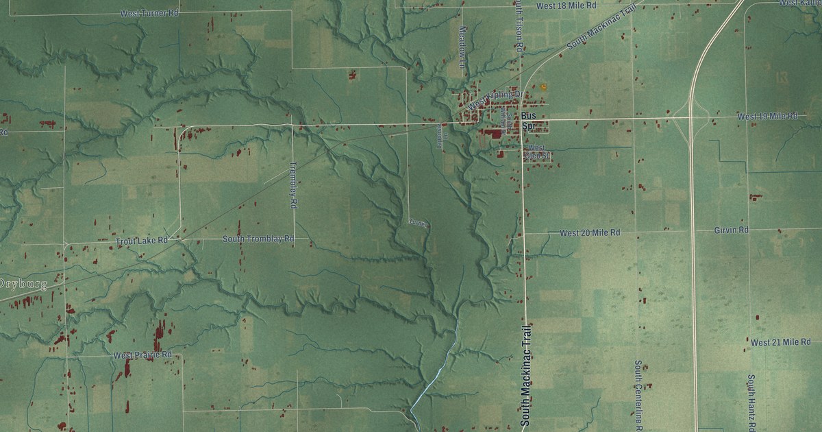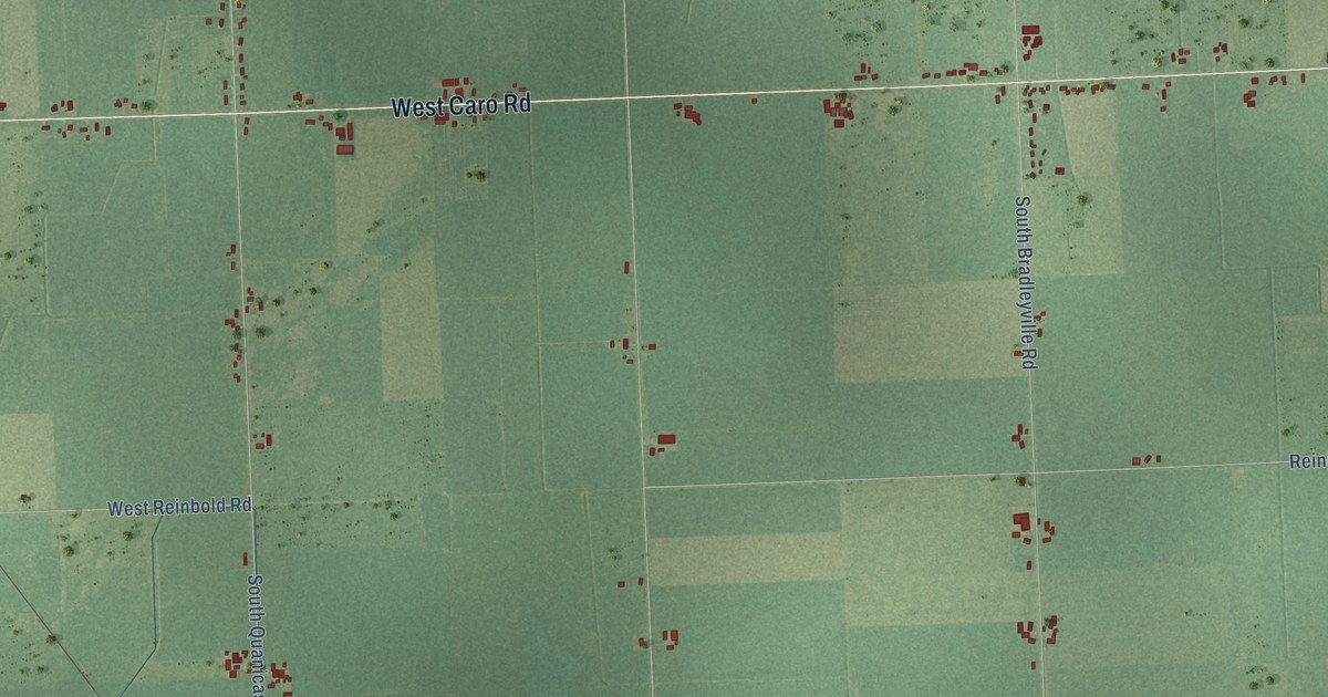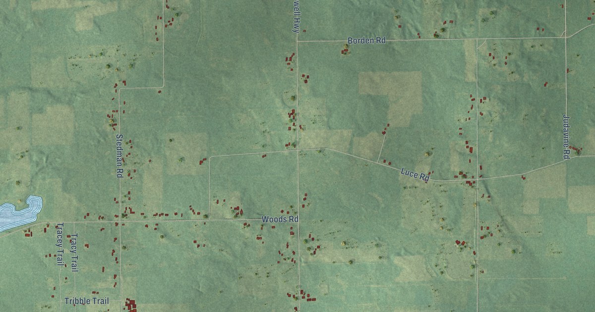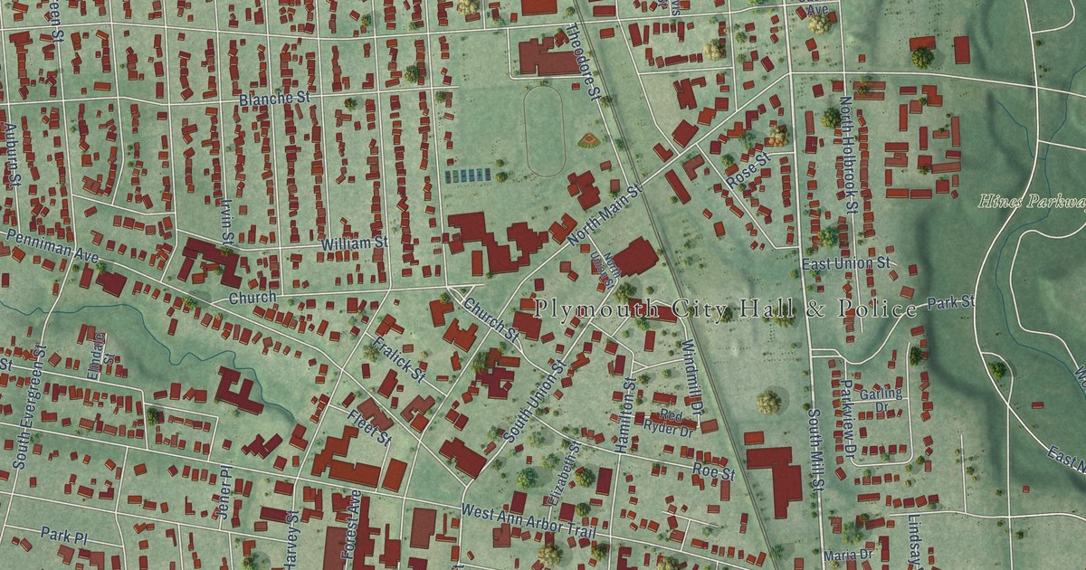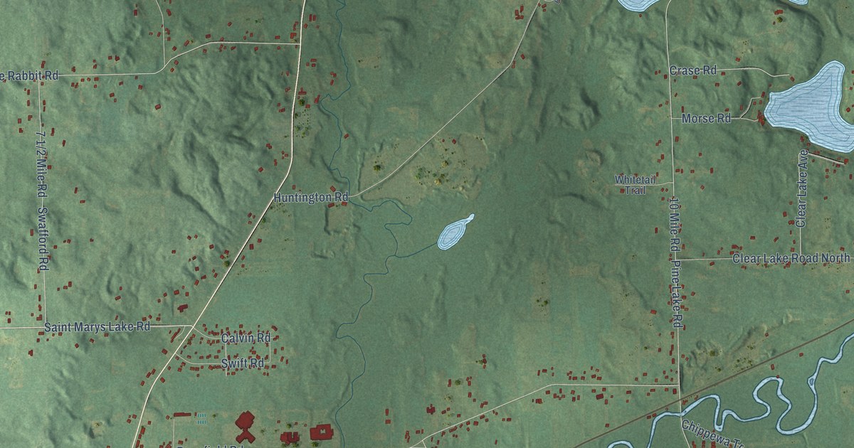
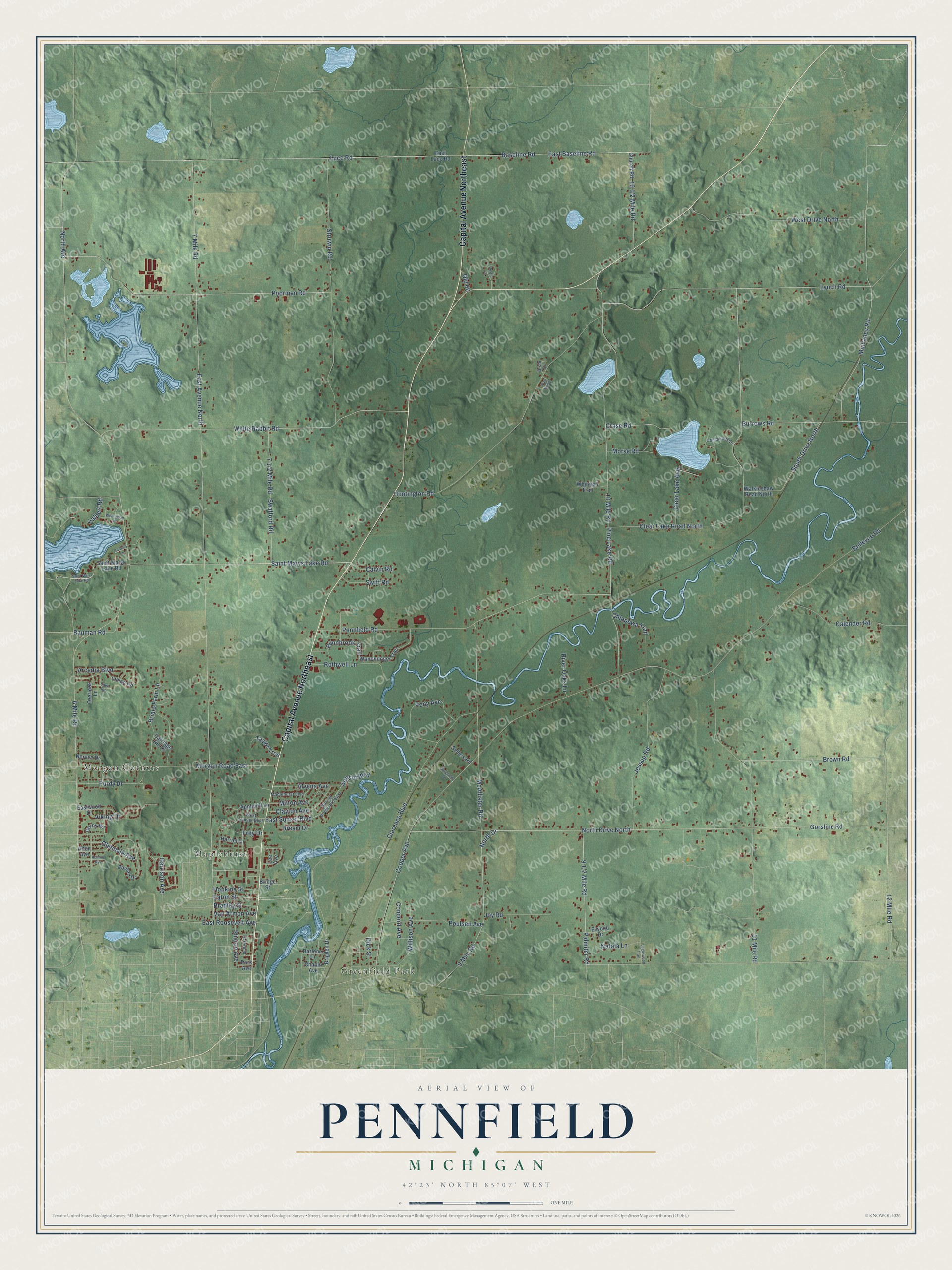
This beautifully detailed map of Pennfield, Michigan was created in 2026 using aerial imagery combined with modern topographical, census, street and landmark data. It's a modern aerial view of Pennfield in Calhoun County, Michigan, that combines modern data with a vintage aesthetic. The roads feature printed names, and if you look closely you can find your exact house accurately shown in its correct location.
Explore an aerial view of Pennfield, Michigan
On this map you'll find Greenfield Park, Maplehurst, Morgan Corners, Capital Avenue Northeast, Saint Marys Lake Road, Palmiter Road, Glendale Avenue, Eaton Street, Cooper Avenue, 6 Mile Road, North Avenue, 7 Mile Road, and more. Each red shape is a building, so zoom in on the preview and look for yours.
Every town has a first chapter, and Pennfield is no exception. The History of Calhoun County puts it this way: "The first thrasher was brought into Pennfield by William Hicks, in 1850. The first reaper and mower was introduced by Alexander Gordon, on the east side of the creek, and by Samuel Convis on the west side of the creek, in 1861."
The Census Bureau counted 8,781 people here in 2020.
Take a closer look at the Pennfield map
Names on this map
These names are printed on this map.
Places: Greenfield Park, Maplehurst and Morgan Corners.
Streets and roads: Capital Avenue Northeast, Saint Marys Lake Road, Palmiter Road, Glendale Avenue, Eaton Street, Cooper Avenue, 6 Mile Road, North Avenue, 7 Mile Road, East Avenue North, Bellevue Road, East Baseline Road.
More street names, A to Z
9 Mile Road, 10 Mile Road, 11 Mile Road, 12 Mile Road, Adaline Avenue, Alton Avenue, Alvena Avenue, Applehill Lane, Arcadia Boulevard, Baseline Road, Bauman Road, Borden Drive, Bradley Street, Brian Drive, Briars Farm Lane, Bridge Street, Brigden Drive, Brown Road, Burrows Road, Calender Road, Calvin Road, Carriage Hill Drive, Carter's Lane, Chapin Avenue, Chippewa Trail, Church Road, Clarence Boulevard, Clayton Avenue, Clear Lake Avenue, Clear Lake Road North, Community Drive, Concord Avenue, Crase Road, Darlene Lane, Daugherty Drive, Derby Road, Dick Street, Dream Drive, East Luce Road, East Roosevelt Avenue, East Sunset Boulevard, Eastwood Drive, Eden Road, Elwood Drive, Frey Drive, Garrison Avenue, Gorsline Road, Halbert Road, Harriet Lane, Hopkins Street, Huntington Road, Indian Road, Jessup Road, Joy Road, Lee Avenue, Loganwood Trail, Luce Road, Lynch Road, Maplehurst Boulevard, McAllister Road, Milton Avenue, Morgan Road East, Morse Road, Mulvaney Road, Natala Lane, Norave Drive, North Drive, North Drive North, Old 66, Overlook Lane, Oxford Street, Park Avenue, Pennbrook Trail, Pennfield Road, Pine Hill Drive, Pine Lake Road, Pony Avenue, Poorman Road, Poulsen Avenue, Purdy Drive, River Oaks Lane, Rothwell Lane, Rustic Lane, Saint Mary Lake Road, Sellers Road, Sharon Avenue, South Drive North, Struwin Road, Sunset Boulevard, Sunset Boulevard East, Swafford Road, Swift Road, Taylor Trce, Van Armon Avenue, Viking Drive, Walkinshaw Road North, Wanondoger Trail, Wellington Place, West Drive North, West Sunset Boulevard, White Rabbit Road, Whitetail Trail, Willison Avenue.
Created by KNOWOL in 2026. The buildings are small red shapes, the roads carry their printed names, and shaded relief shows the shape of the land. The title panel reads "AERIAL VIEW OF PENNFIELD, MICHIGAN" with 42°23' NORTH 85°07' WEST.
Hang it in the hallway, the office or the cabin, or give it to someone who left Pennfield and still calls it home. Open the preview and look for a street you know. See sizes and frames for the Pennfield map.