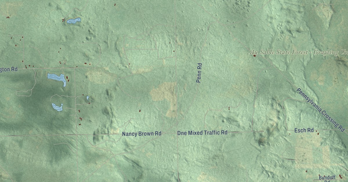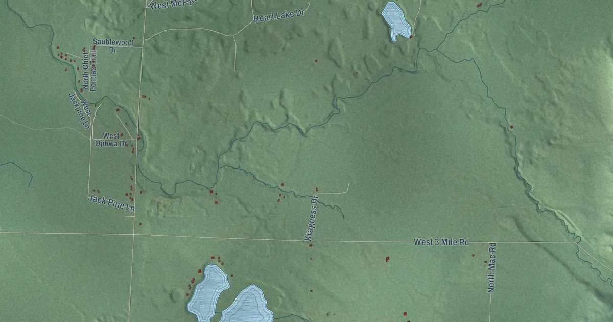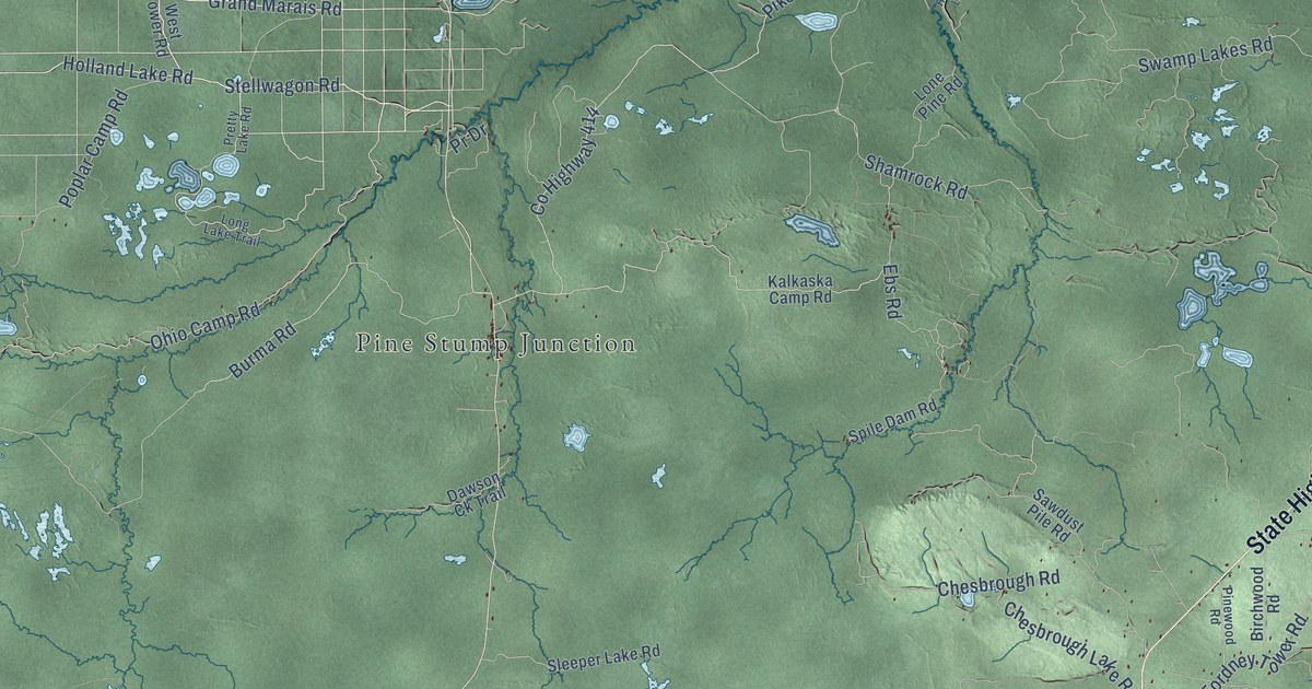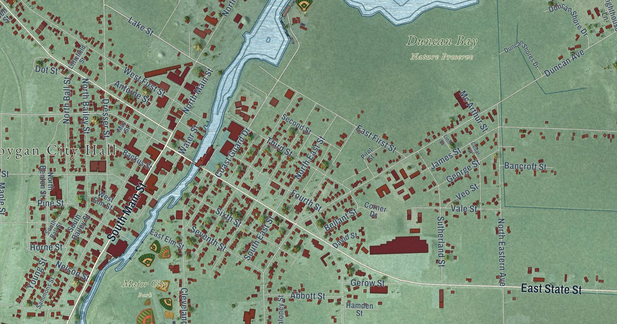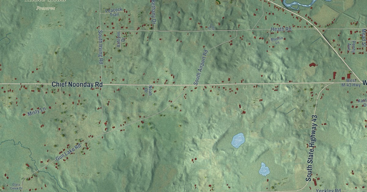
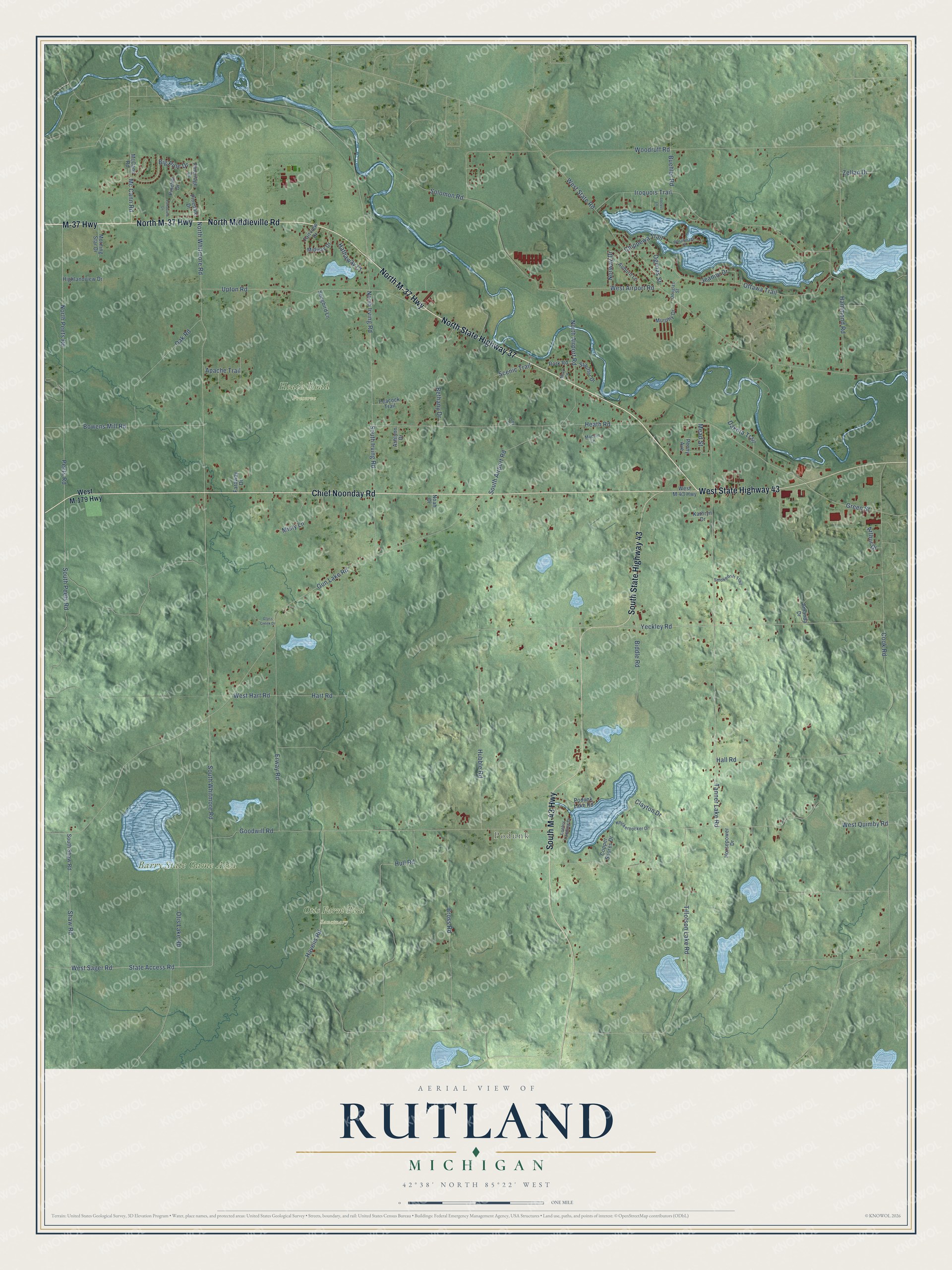
This beautifully detailed map of Rutland, Michigan was created in 2026 using aerial imagery combined with modern topographical, census, street and landmark data. It's a modern aerial view of Rutland in Barry County, Michigan, that combines modern data with a vintage aesthetic. The roads feature printed names, and if you look closely you can find your exact house accurately shown in its correct location.
Explore an aerial view of Rutland, Michigan
On this map you'll find Podunk, Barry State Game Area, Heath Road Preserve, Otis Farm Bird Sanctuary, North State Highway 37, M-37 Highway, North Middleville Road, North M-37 Highway, Chief Noonday Road, West State Highway 43, South M-43 Highway, South State Highway 43, and more. Each red shape is a building, so zoom in on the preview and look for yours.
Rutland has a story worth telling. The History of Allegan and Barry Counties puts it this way: "The first house built in Rutland was Cooley's, the second was Rich's, and the third Maj. Mott's. The latter settled in 1838 upon land lying in both Rutland and Yankee Springs, his dwelling being, however, in the former township upon section 18, close to the line."
The Census Bureau counted 4,136 people here in 2020.
Take a closer look at the Rutland map
Names on this map
These names are printed on this map.
Places: Podunk, Barry State Game Area, Heath Road Preserve and Otis Farm Bird Sanctuary.
Streets and roads: North State Highway 37, M-37 Highway, North Middleville Road, North M-37 Highway, Chief Noonday Road, West State Highway 43, South M-43 Highway, South State Highway 43, North Peets Road, Peets Road, State Access Road, South Whitmore Road.
More street names, A to Z
Amanda Drive, Apache Trail, Arthur Drive, Ashlynn Drive, Auburn Lane, Bethany Drive, Biddle Road, Big Pine Drive, Bowens Mill Road, Bross Road, Buehler Road, Chippewa Trail, Clayton Drive, Cook Road, Copper Shores Drive, Dakota Trail, Douglas Street, Erway Road, Fairview Drive, Faraway Drive, Glass Creek Drive, Goodwill Road, Green Street, Gun Lake Road, Hall Road, Hammond Road, Hart Road, Hathaway Court, Havens Road, Heath Road, Highlandview Drive, Horsepower Drive, Hubble Road, Hull Road, Iroquois Trail, Jeanne Drive, Kathryn Drive, Knickerbocker Drive, Locust Lane, Loehrs Landing Drive, Luby Drive, Madilin Lane, Mc Cann Road, McCann Road, Mead Road, Mead Street, Midway Drive, Misty Lane, Morning Star Drive, Murphy Drive, Noah Drive, North Airport Road, North Irving Road, North Whitmore Road, Norway Drive, Oak Road, Ogimas Street, Otis Lake Road, Ottawa Trail, Peacock Trail, Penny Avenue, Pinedale Drive, Pinehill Drive, Pineridge Drive, Podunk Lake Road, Pondview Lane, Rork Road, Scenic Trail, Shaw Road, Smokedrift Trail, Solomon Road, Songbird Lane, South Airport Road, South Irving Road, South Peets Road, South Shaw Road, Stauffer Drive, Tanner Lake Road, Tillotson Lake Road, Upton Road, Wasabinang Street, West Airport Road, West Hart Road, West M-43 Highway, West M-179 Highway, West Quimby Road, West Sager Road, West State Road, Woodruff Road, Yeckley Road, Zellan Drive.
Created by KNOWOL in 2026. The buildings are small red shapes, the roads carry their printed names, and shaded relief shows the shape of the land. The title panel reads "AERIAL VIEW OF RUTLAND, MICHIGAN" with 42°38' NORTH 85°22' WEST.
It looks right in a kitchen, an office or a den, and it's a gift for anyone who grew up in Rutland or moved away. Open the preview and find your street. See sizes and frames for the Rutland map.