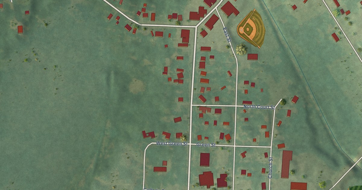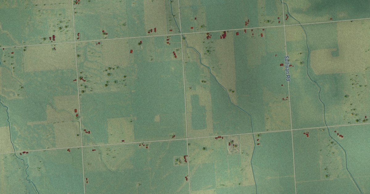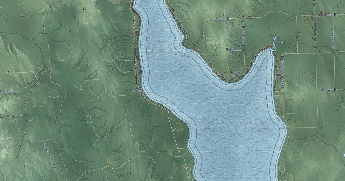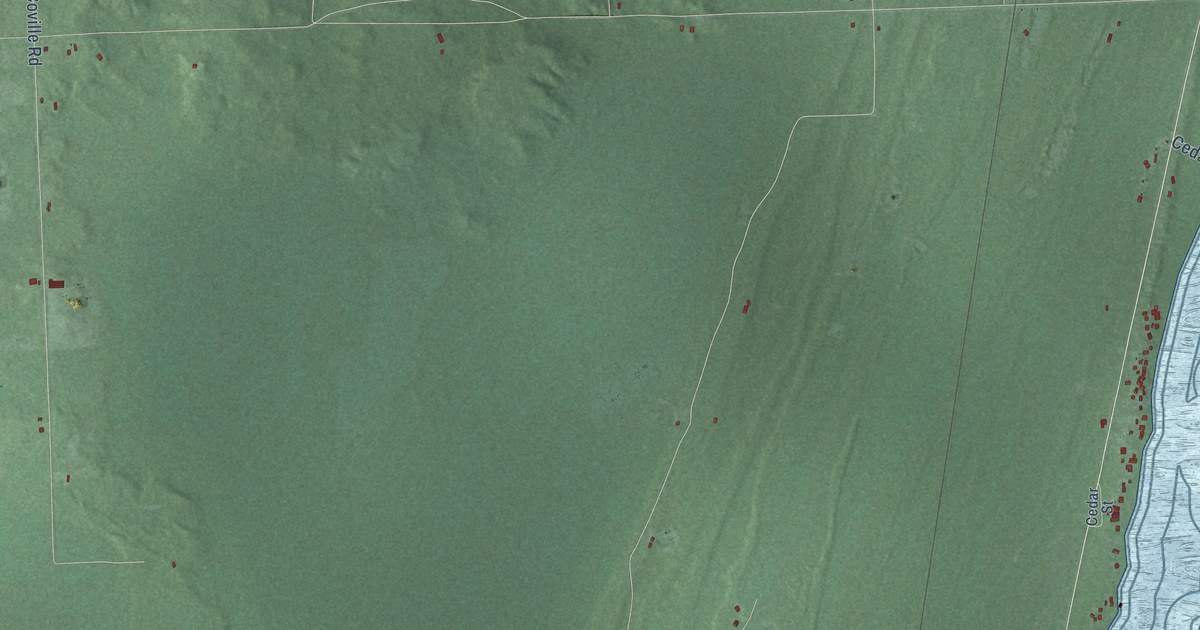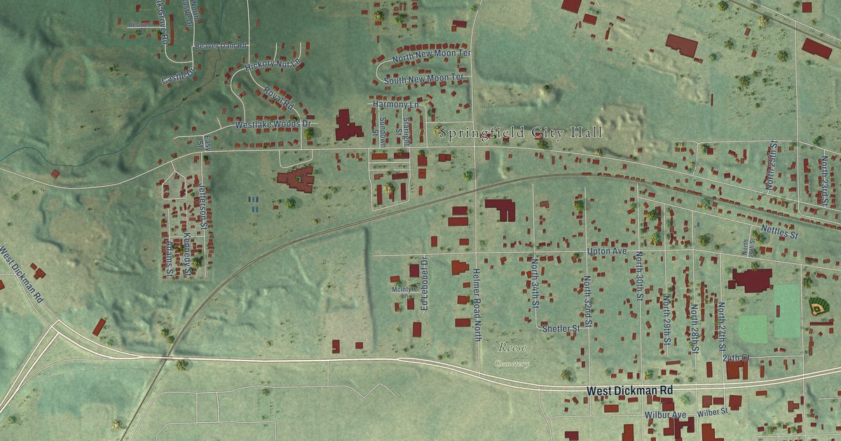
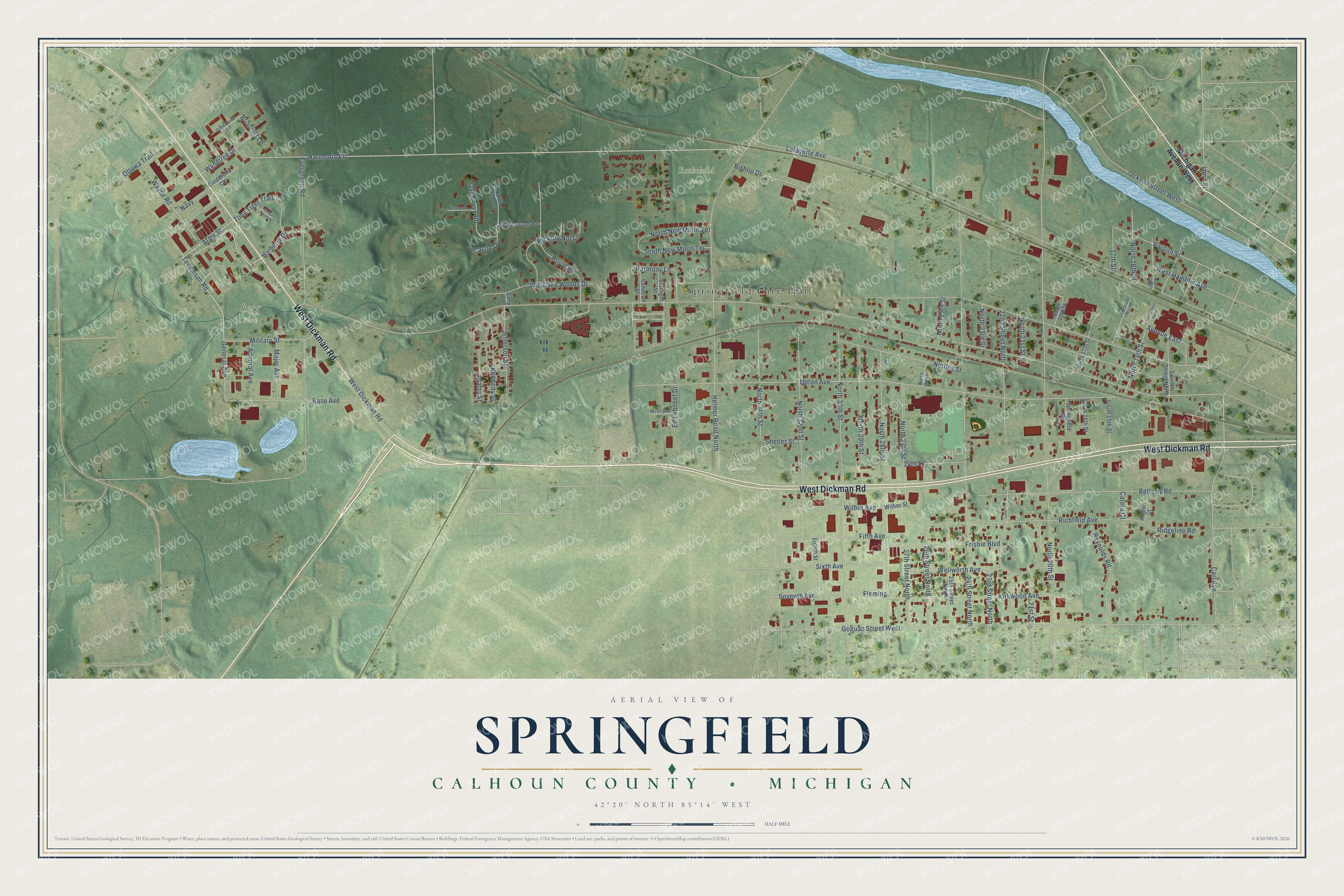
This beautifully detailed map of Springfield, Michigan was created in 2026 using aerial imagery combined with modern topographical, census, street and landmark data. It's a modern aerial view of Springfield in Calhoun County, Michigan, that combines modern data with a vintage aesthetic. The roads feature printed names, and if you look closely you can find your exact house accurately shown in its correct location.
Explore an aerial view of Springfield, Michigan
On this map you'll find Springfield City Hall, Begg Park, Rothchild Park, Reese Cemetery, West Dickman Road, Tecumseh Road, North 14th Street, Harmonia Road, Army Street, Avenue East, 26th Street North, General Avenue, and more. Each red shape is a building, so zoom in on the preview and look for yours.
Here is a piece of Springfield history, in the words of the record. The Calhoun County MIGenWeb puts it this way: "Springfield was platted in 1904 and may have been named as a tribute to C.W. Post who came from Springfield, IL."
Springfield is a city in Calhoun County. The Census Bureau counted 5,292 people here in 2020.
Take a closer look at the Springfield map
Names on this map
These names are printed on this map.
Places: Springfield City Hall, Begg Park, Rothchild Park and Reese Cemetery.
Streets and roads: West Dickman Road, Tecumseh Road, North 14th Street, Harmonia Road, Army Street, Avenue East, 26th Street North, General Avenue, Upton Avenue, North 20th Street, Helmer Road North, Goguac Street West.
More street names, A to Z
14th Street North, 16th Street North, 17th Street, 21st Street, 22nd Street North, 23rd Street North, 24th Court, 24th Street North, 25th Street North, 27th Street North, Adams Street, Admiral Avenue, Avalon Court, Barberry Drive, Base Avenue, Beaver Dam Road, Betterly Road, Bishop Drive, Briarcliff Lane, Carl Avenue, Castle Drive, Catera Court, Cinderella Circle, Easy Street, Ed Lebouef Drive, Eighth Street, Evergreen Road, Fifth Avenue, Fleming, Frisbie Boulevard, Greenbriar Lane, Harmony Lane, Hickory Nut Lane, Jackson Street West, Jefferson Street, Kennedy Street, Kirkwood Avenue, Lafayette Avenue, Limit Street, Major Avenue, McIntyre Lane, Michigan Avenue West, Military Street, Navy, Nettles Street, North 15th Street, North 16th Street, North 17th Street, North 19th Street, North 21st Street, North 23rd Street, North 25th Street, North 26th Street, North 27th Street, North 28th Street, North 29th Street, North 30th Street, North 32nd Street, North 34th Street, North Castle Drive, North New Moon Terrace, Oak Grove Road, Ottawa Trail, Parrish Street, Reynolds Road, Richfield Avenue, Ridgeline Road, Royal Road, Seventh Avenue, Shetler Street, Sixth Avenue, Sleepy Hollow, South 15th Street, South 16th Street, South New Moon Terrace, Springfield Drive, Starlight Street, Sundown Street, Tony Tiger Trail, Twelfth Street North, Wayne Road, Wellworth Avenue, West Hamblin Avenue, Westlake Woods Drive, Westwood Drive, Wilber Street, Wilbur Avenue, Wyndtree Drive.
Created by KNOWOL in 2026. The buildings are small red shapes, the roads carry their printed names, and shaded relief shows the shape of the land. The title panel reads "AERIAL VIEW OF SPRINGFIELD, CALHOUN COUNTY • MICHIGAN" with 42°20' NORTH 85°14' WEST.
It suits a den, a classroom or a front hall, and it makes a gift for anyone with Springfield roots. Open the preview and find the block you know. See sizes and frames for the Springfield, Calhoun County map.